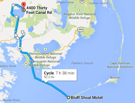
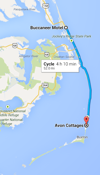
Pettigrew State Park, NC to Elizabeth City, NC: 58 miles

Route for day 6
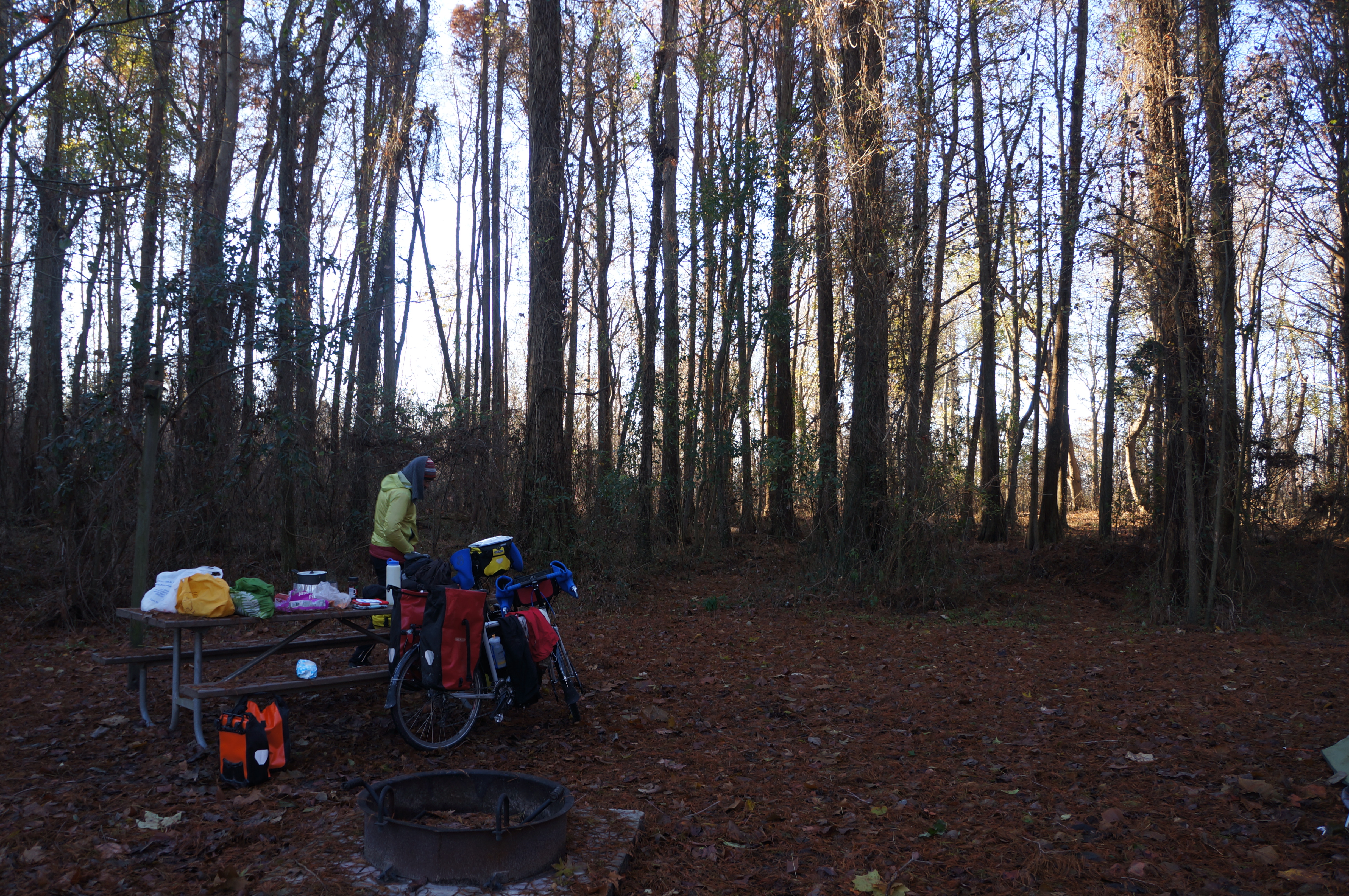
We woke up to a very cold morning. Hot water for oatmeal and coffee/cocoa lured us out of the ice-crusted tent. While Daisy got the tent packed up, it was my turn to hit the hand dryer over and over to dry out my shoes. When we were both sufficiently dry and decently warm, we stuck a hand warmer by the toes of each foot and got on the road.
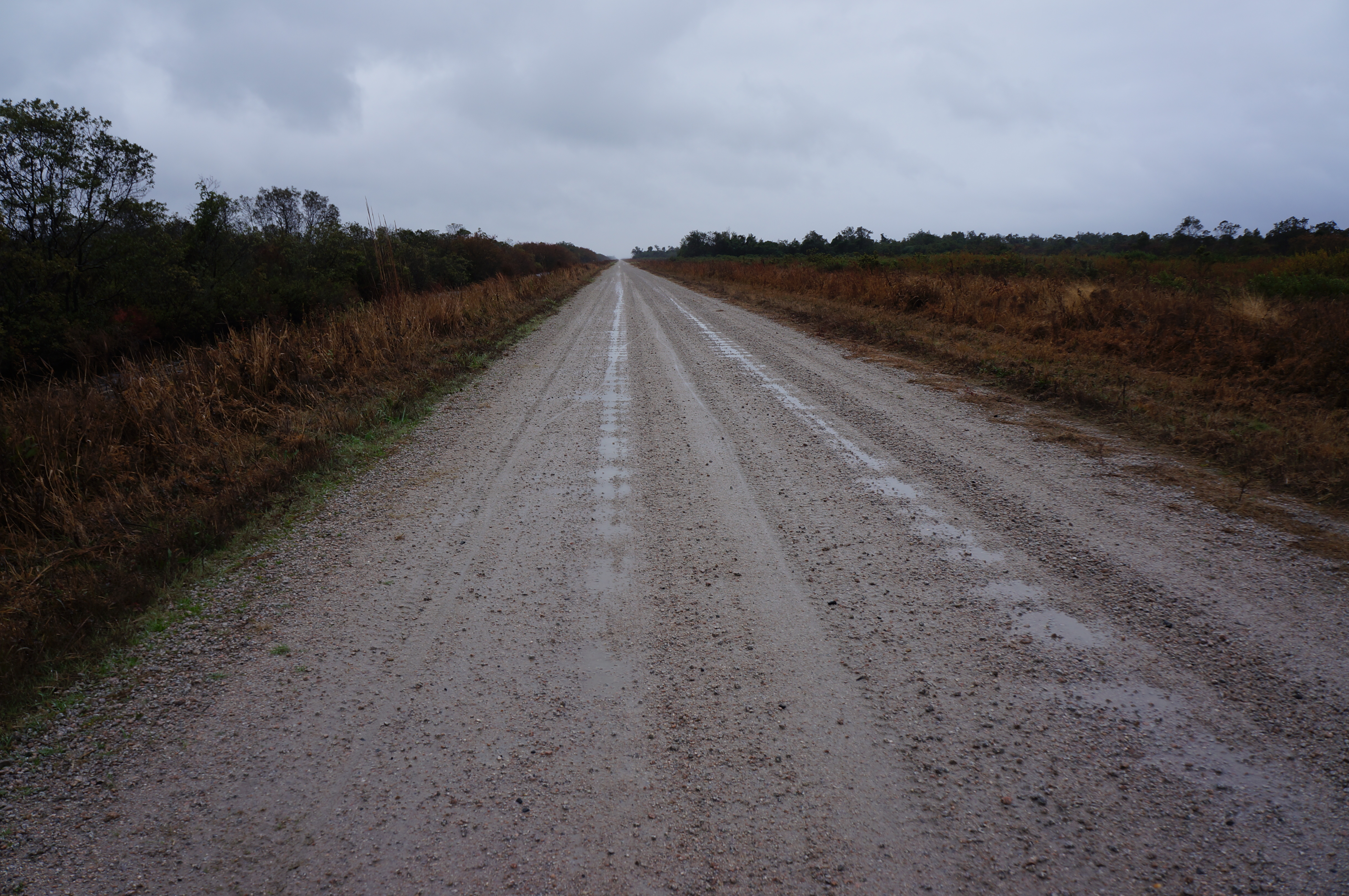
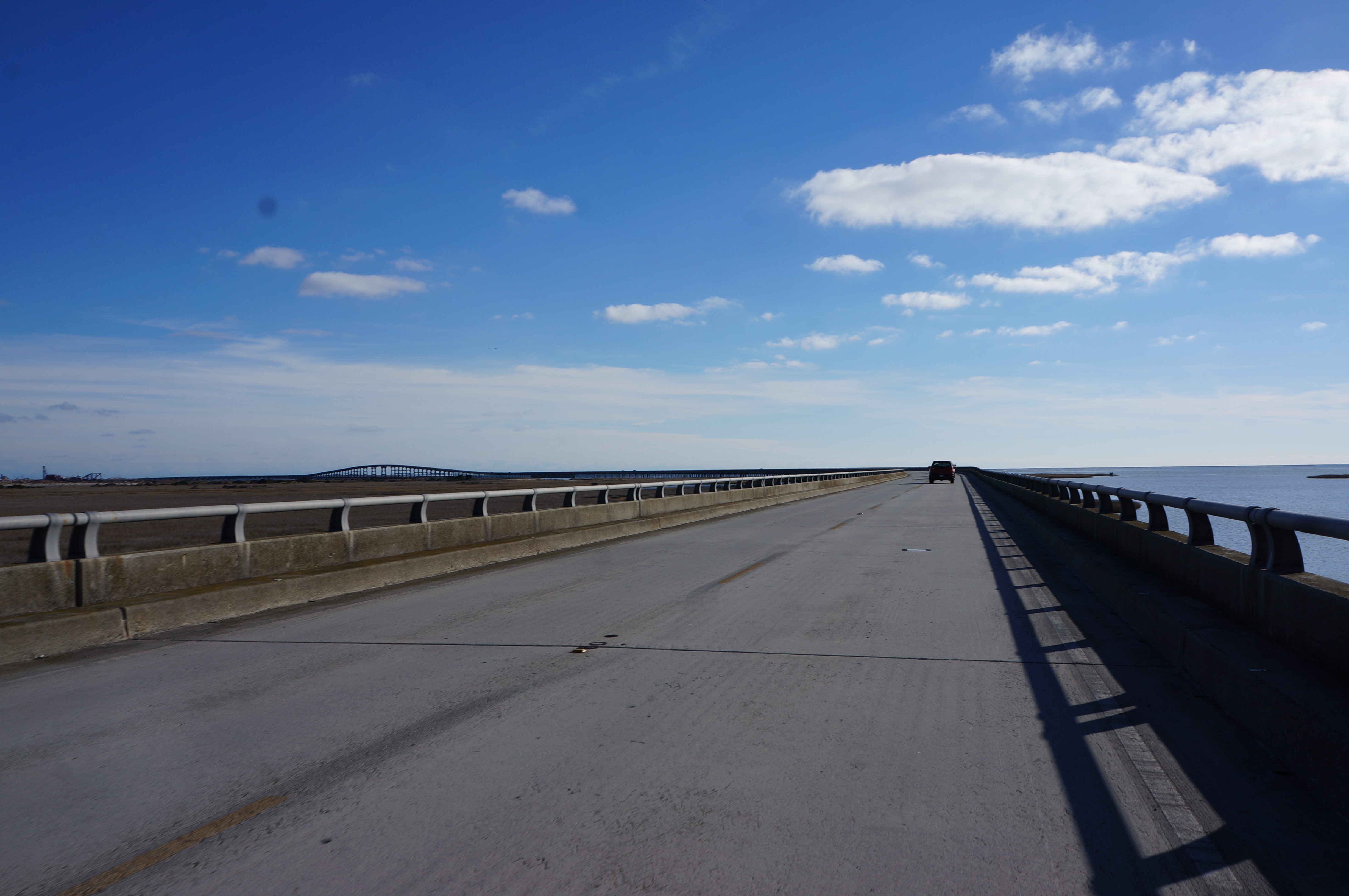
No rain today! We had some headwinds, but it was much much more calm than the previous day. Also, our route was great – back roads the whole time, except when we had to cross the bridge over the Albemarle Sound. After the bridge we found a picnic table to eat lunch at. It was nice to sit in the sun.
To make it a little easier on ourselves, we decided to check our tire pressure and top it off. They weren’t too low, but we did put in an extra 20 psi or so. This was definitely noticeable with the fully loaded bikes. Since we didn’t install kickstands yet, we needed to find something to lean the bikes against — luckily this yard had some farm equipment.
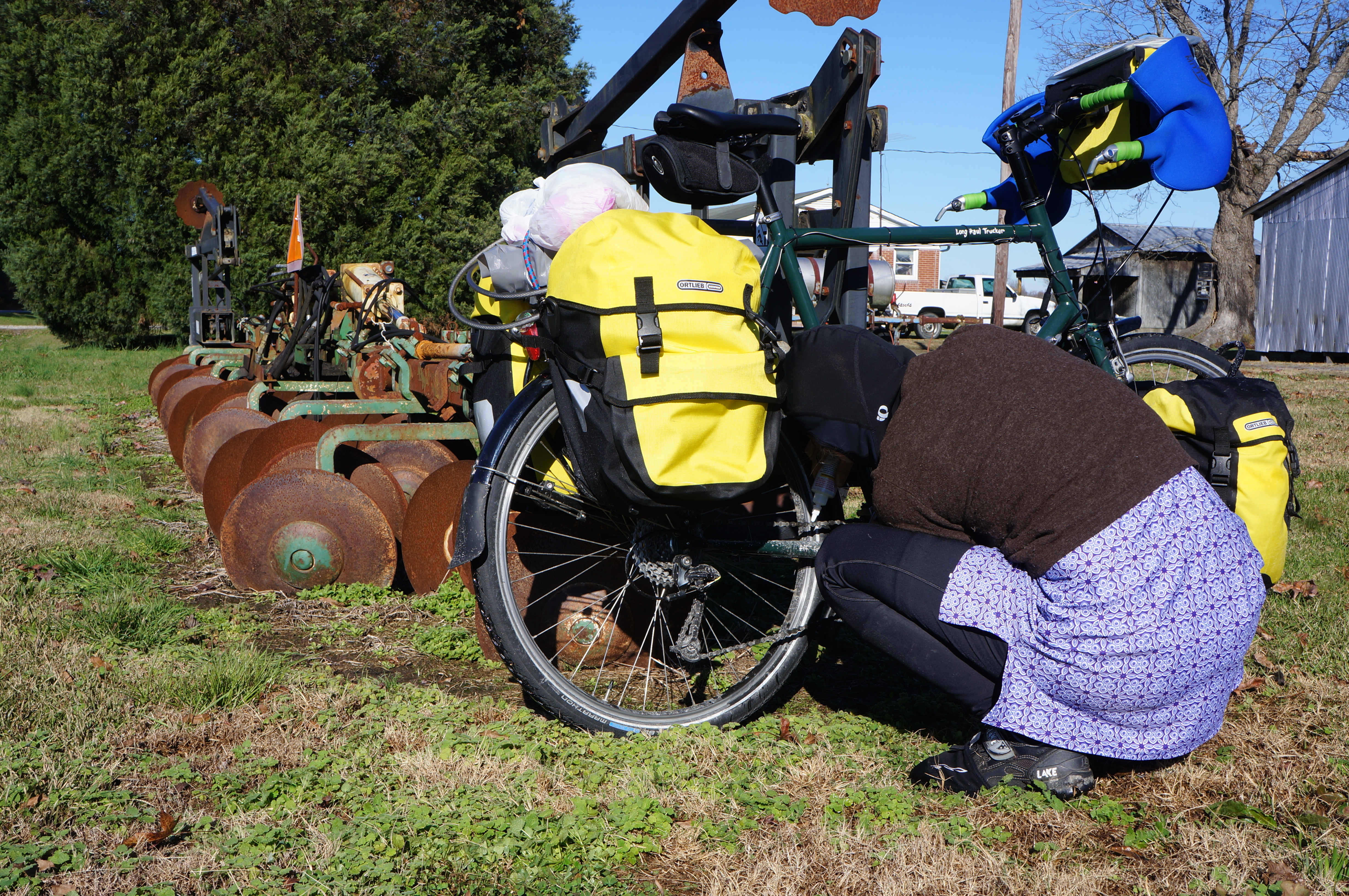
Convenient spot to lean the bike for maintenance
However, the ground was still quite wet. A lot of the land was still swampy, although as we moved north we saw less standing water.

Trees in the swamp water

Peanuts!
We found our preferred hotel as we rolled into the outskirts of Elizabeth City. The employee that checked us in looked like a high schooler that was getting paid to be on Facebook. The room was sufficient, and we cooked a delicious meal of rice, veggies, and sausage in the parking lot. While the meal was cooking we finally broke out our camp chairs, after carrying them all week. We shelled and ate some peanuts as an appetizer.
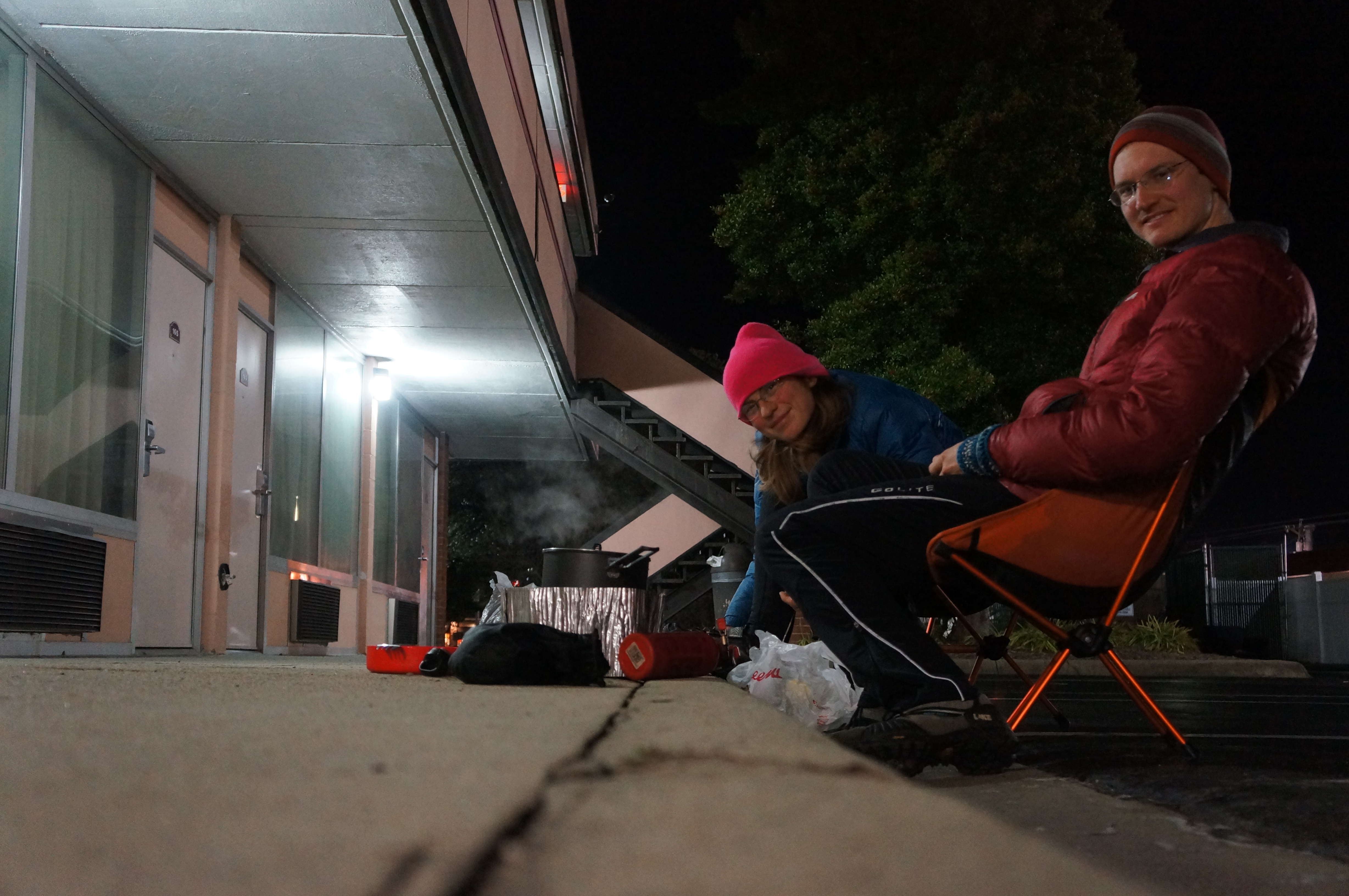
Cooking in the motel parking lot