
Woohoo! Dawson City!
And we passed! The past four days have truly been a challenge. The weather changed quite dramatically, we headed farther north, and we climbed substantially in elevation. Also, the road became very hilly and eventually turned to dirt and gravel. As you can imagine from these facts, we have been living adventurously these past days! Because you are reading this, you know we made it unscathed, and are now safe, happy, and warm in Dawson City.
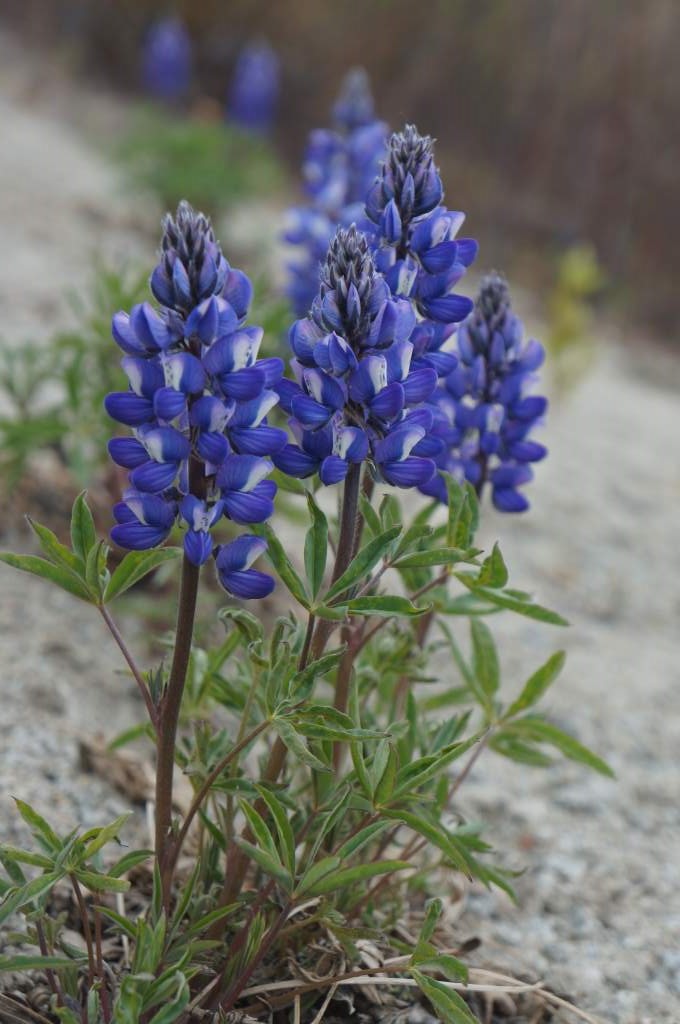
Spring is around here somewhere…
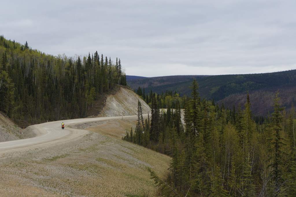
Leaving Tok was a blast, literally, as we were blasted down the highway by a strong tailwind. It was a wondrous feeling to float practically effortlessly down the Alaska Highway. That all changed when we turned onto the Taylor Highway, where we immediately slowed to a crawl. The road dove up and down for the next 35 miles with lovely views of forests in various stages of recovery from forest fires. After lunch, eaten huddled below a turnout sheltered from the wind, we got very cold and had to run around in circles stomping our feet and clapping our hands. We likely looked just as crazy as we felt.
Eventually we reached the days highpoint, and then descended into camp on the banks of the West Fork of the 40 mile river (yes, that is actually the river’s name). We had enough water for dinner, but the campground had no extra for us. Then, there was a disastrous mishap during dish washing (oops), and we spilled it all. The river was far away, so we ended up filtering from a large puddle near our site. We were worried because the water was brown, even after a filter and a UV treatment, but we drank it anyways. It turns out that all the water in this area is brown!
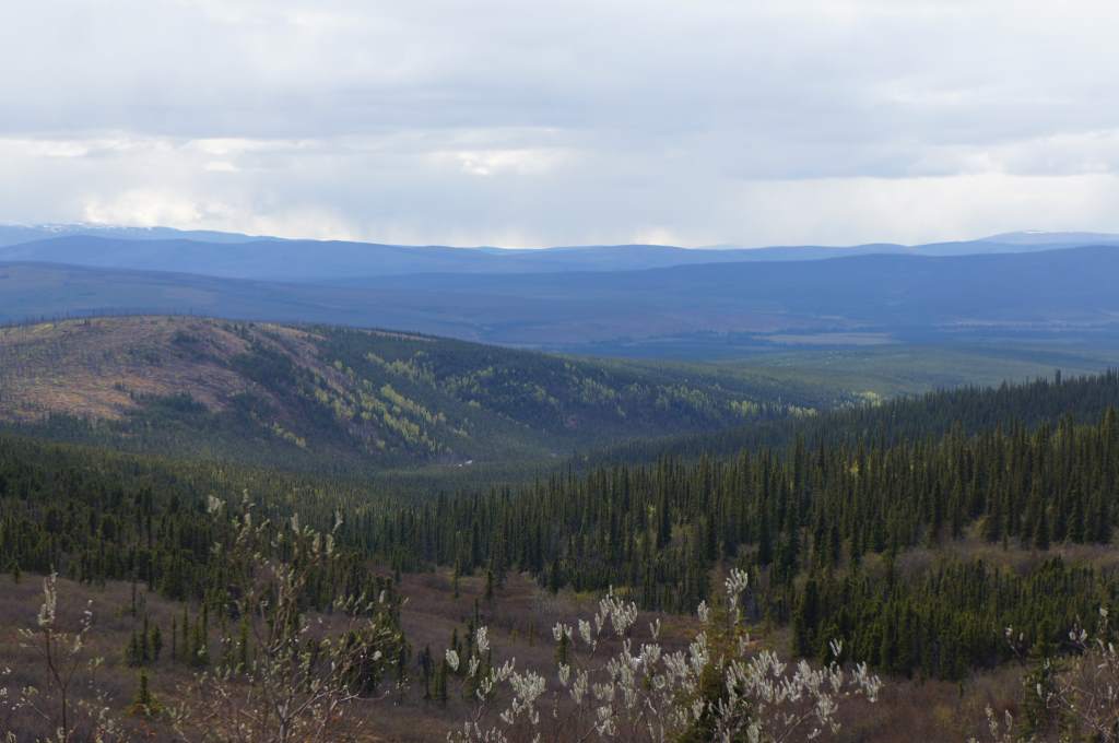
Views from the Taylor Highway.
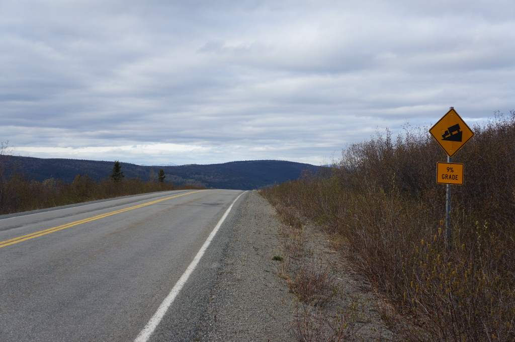
Taylor Highway – downhill ahead!
The only other camper there came to chat with us and warn us of the conditions on the Top of the World highway. We nodded… but of course we knew we would carry on regardless!
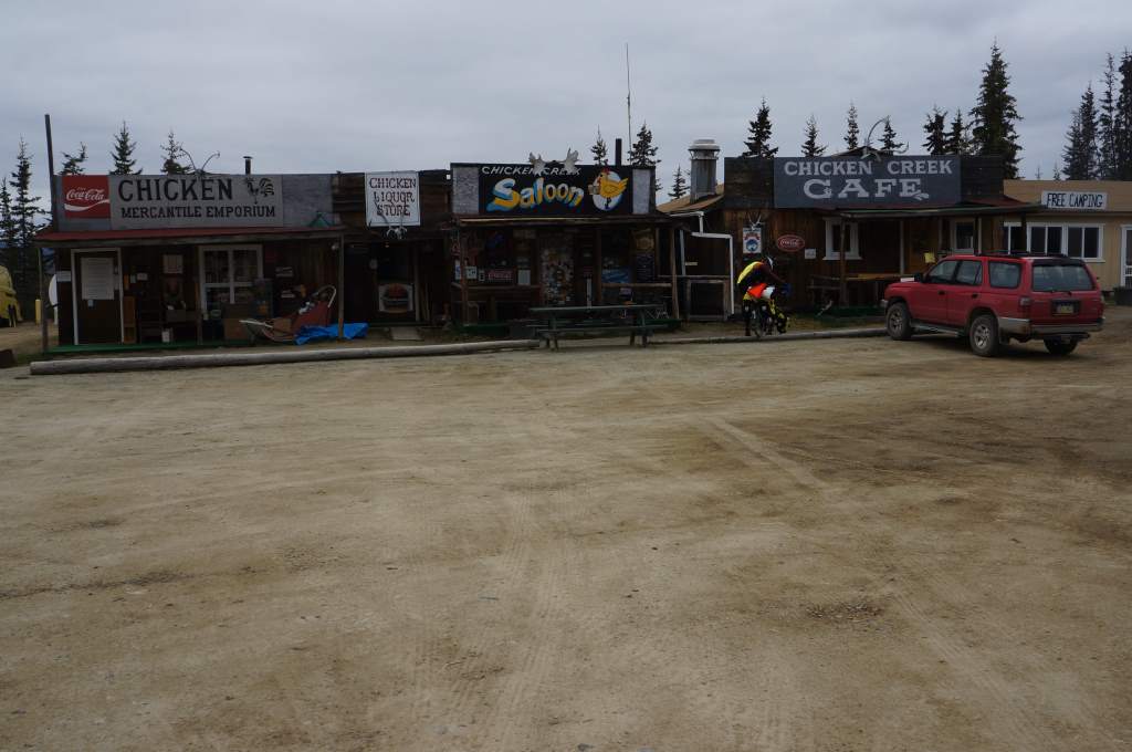
Beautiful Downtown Chicken – about the size of a postage stamp.
We rode up and down hills into the teeny tiny ‘town’ of Chicken, Alaska. In truth, it is a post office that is open 2 days a week, and three businesses that each claim to be the ‘true’ Chicken. In the end, we went to Beautiful Downtown Chicken, which wasn’t actually open yet, but luckily the cook there was willing to make us burgers on wheat bread and serve up some chicken soup. This place was a riot, and it was a blast to hear the characters coming through there.
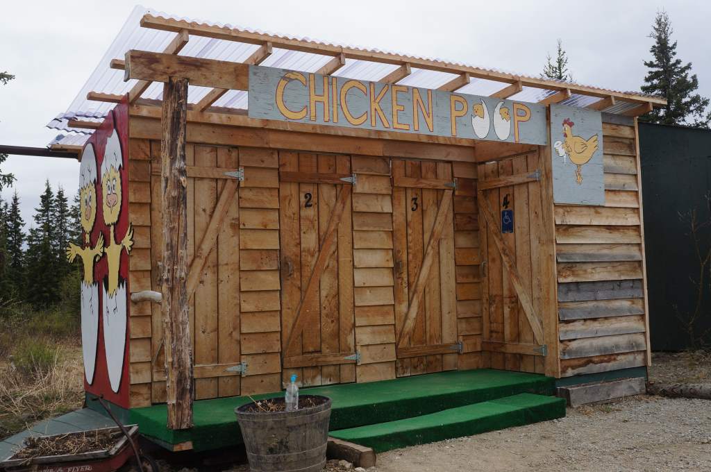
Chicken Poop. Hee Hee!
For example, the cook was talking to a miner passing through and told the story of the last time he used a satellite phone, when it cost $7 per minute. He was on an isolated lake on a hunting trip and ran out of alcohol. He called his buddy, instructed him to go to his house and pick up a plastic bottle full of vodka, then tie something red on it and fly over the lake to drop it in the water. Apparently, hunting is impossible without vodka!
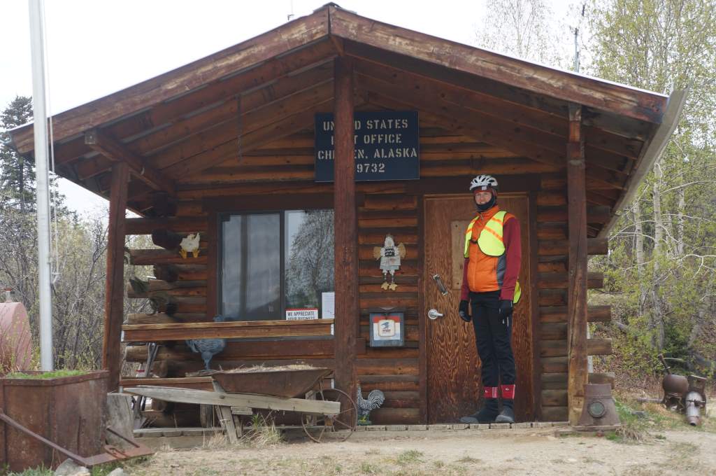
- The Post Office in Chicken: Open 2 days a week.
After Chicken it was all dirt road but in excellent condition, at least until the next day when we began to climb into the hills towards the US-Canada border.
We camped just about 20 miles from Chicken. The next day we would start the loooong climb to the US-Canada border, and from there embark on Top of the World to Dawson City. That, however, is a post for tomorrow!
- Pavement ended. Climbing out of Chicken.
Thank you for the joy you bring to us all
Thank you for sharing this adventurous part of the trip with us! Can’t wait for the next installment… Stay warm.
Brrrrr! What an adventure! Ride on!
Pedal on brave souls. We love you.
Thanks Aunt Kaye! We are in better weather now, and warm and dry in Whitehorse for a few days!
Yeah…this story is exactly what I expected!!!!! Soldier on Daisy and Jason~
I am watching!!!!
Kathy, I hate to admit it to you, but the bears are way scarier than anyone in the stat department!!
Indeed there is a Fortymile River and also a Sixtymile River, neither name is any indication of their length. They are markers of distance for early river travellers. Fortymile River enters the Yukon River 40 miles above Ft. Reliance and the Sixtymile enters the Yukon River 60 miles below Ft. Reliance, which was the first trading post on the Upper Yukon below Ft. Selkirk where Hudson Bay Co. established a presence in the 1850’s.
The headwaters are spoken of, even today, as the Fortymile country and the Sixtymile country and there is still a bit of mining going on in both areas.
And that is your history lesson for today. Hugs to you both. Alice