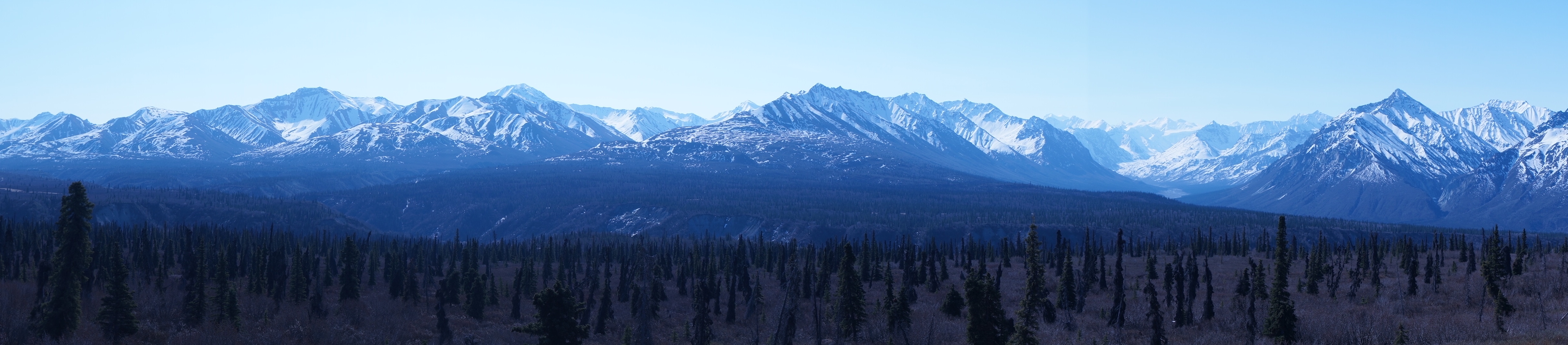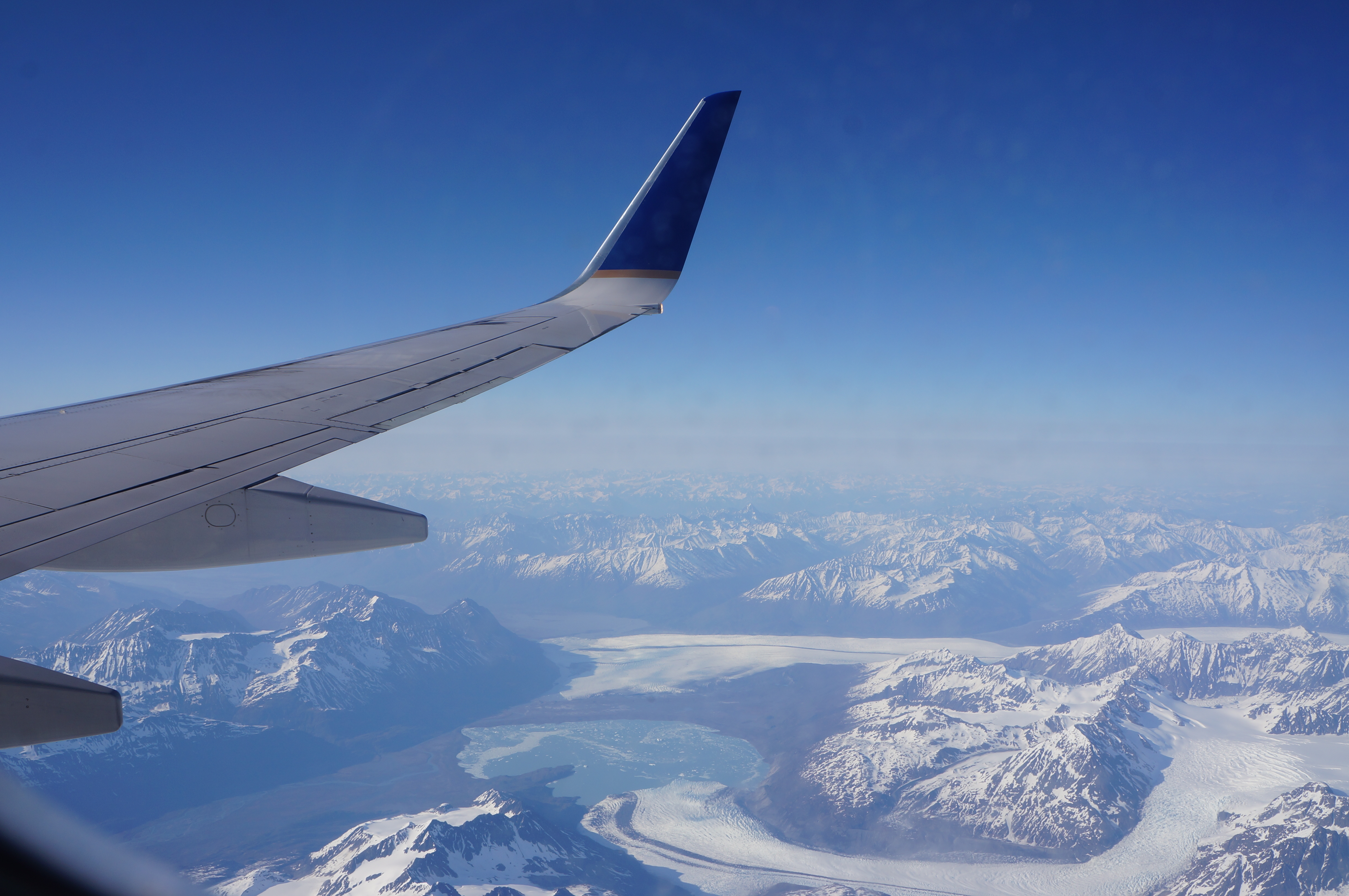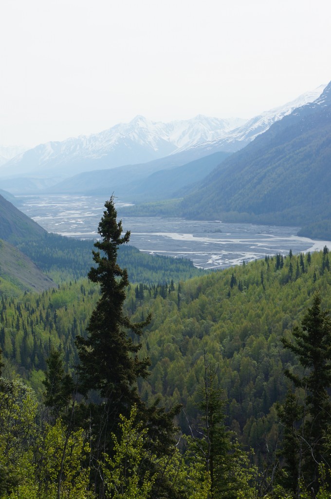
A view of the Matanuska river delta from high in the hills

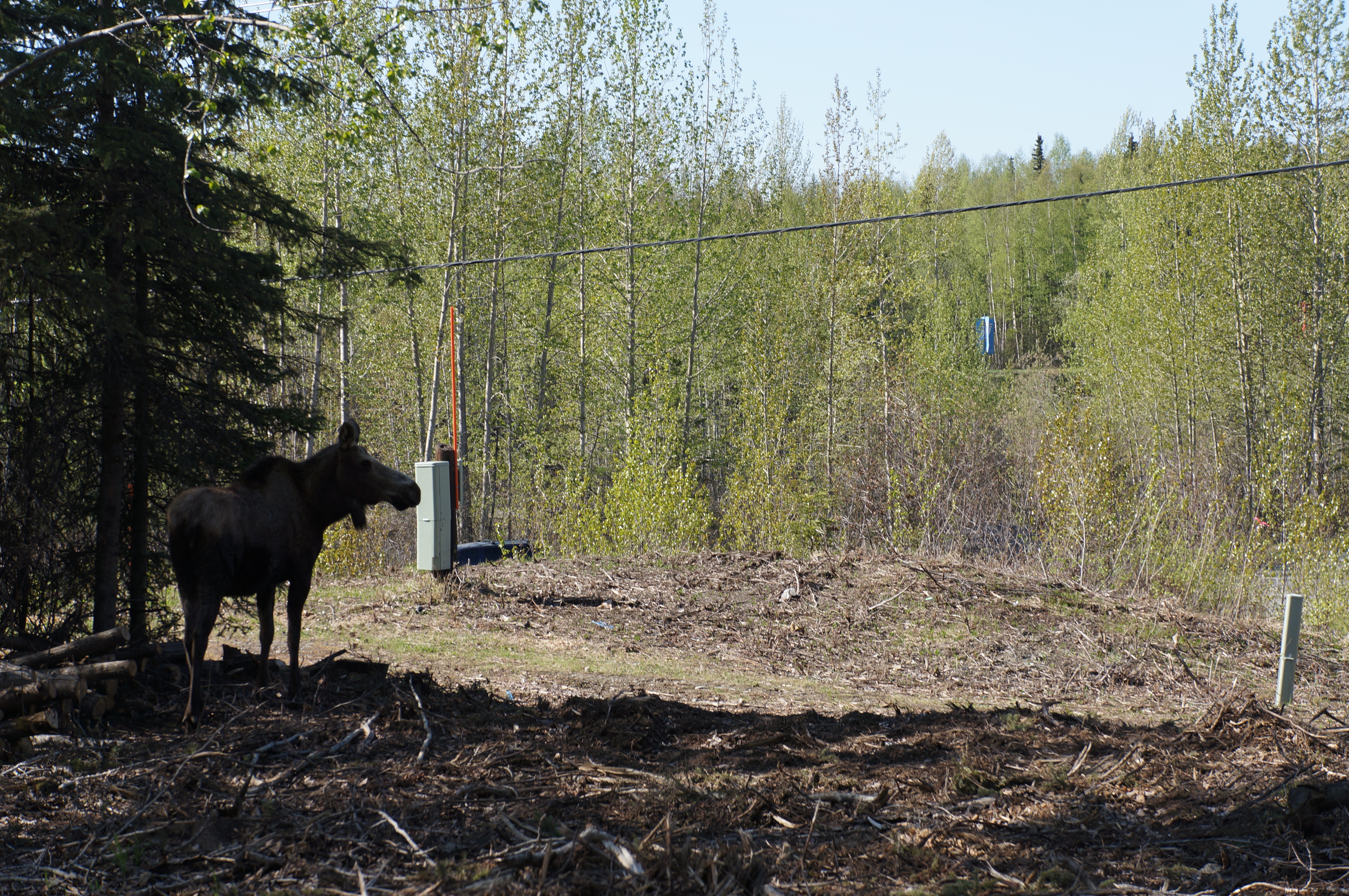
Moose trying to hide… but we saw her.
May 13: King Mountain to Sheep Mountain – 38 miles
Climbing up, up, up! Mountain peaks and glaciers, all day long. This highway is phenomenal, and I can highly recommend it, at least when the weather is this perfect. Despite another cold morning, it warmed up by the afternoon. We rode through the small town of Chicaloon, which was all but abandoned since both stores closed down in 2012. No espresso for Daisy today!
After climbing all morning we had lunch and a nap on a turnout next to the road, then descended down to the river again. We thought the climb deserved a summit sign, but no luck. We did, however see four more moose! The Matanuska glacier could be seen across the valley, and it was beautiful. We stopped at the glacier viewing spot and took a little hike around to read about the area. I love the informational signs… We learned that there is a giant piece of glacier ice that has been abandoned to the side of the active glacier, and it just sits there slowly melting. It melts so slowly that earth and trees start to grow on it! When it melts, the trees begin to tilt and eventually fall.
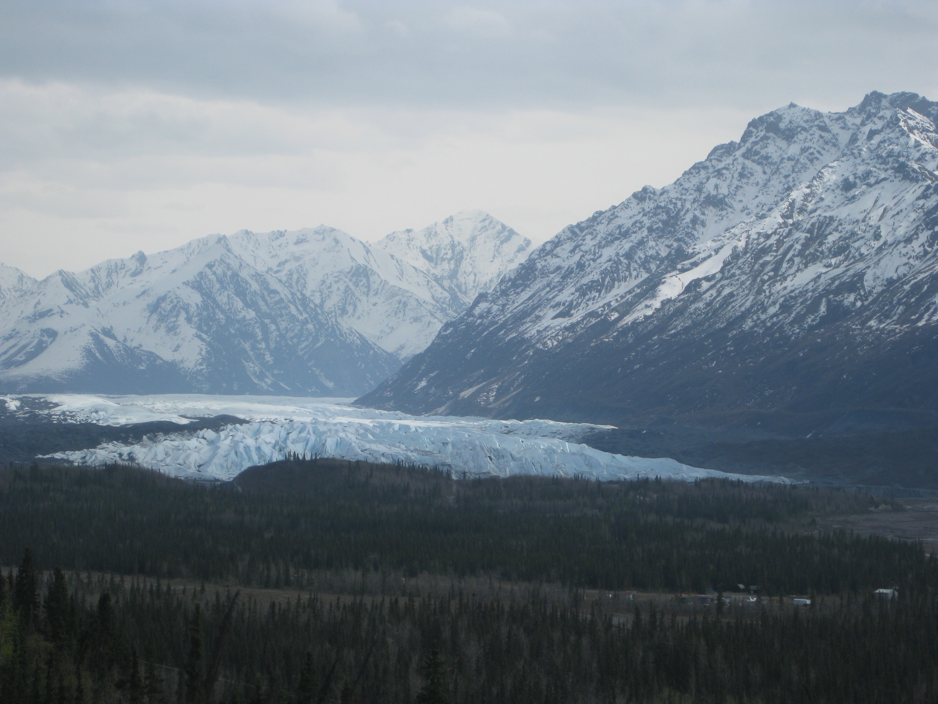
The Matanuska Glacier. It is four miles wide at its base!
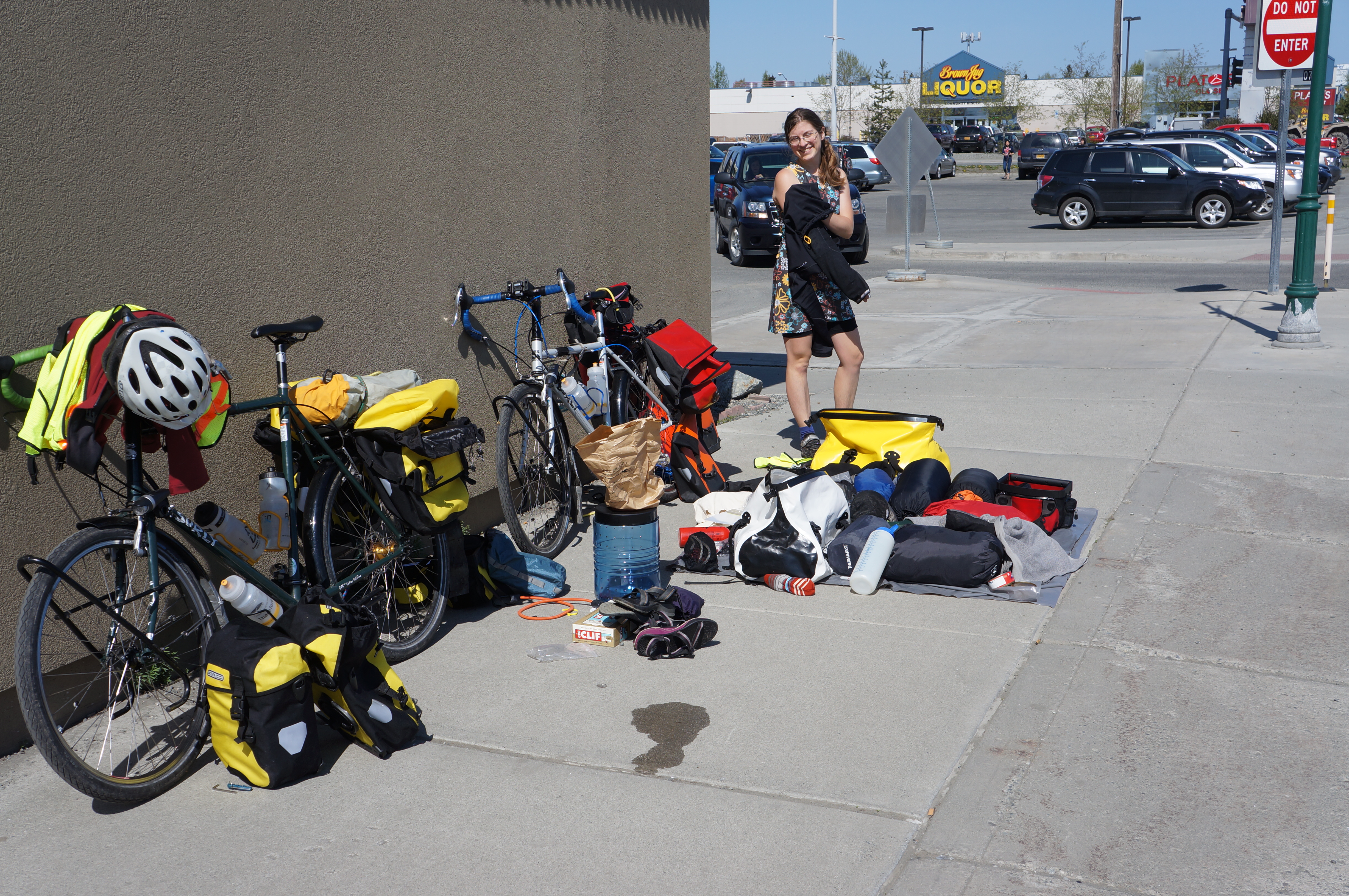
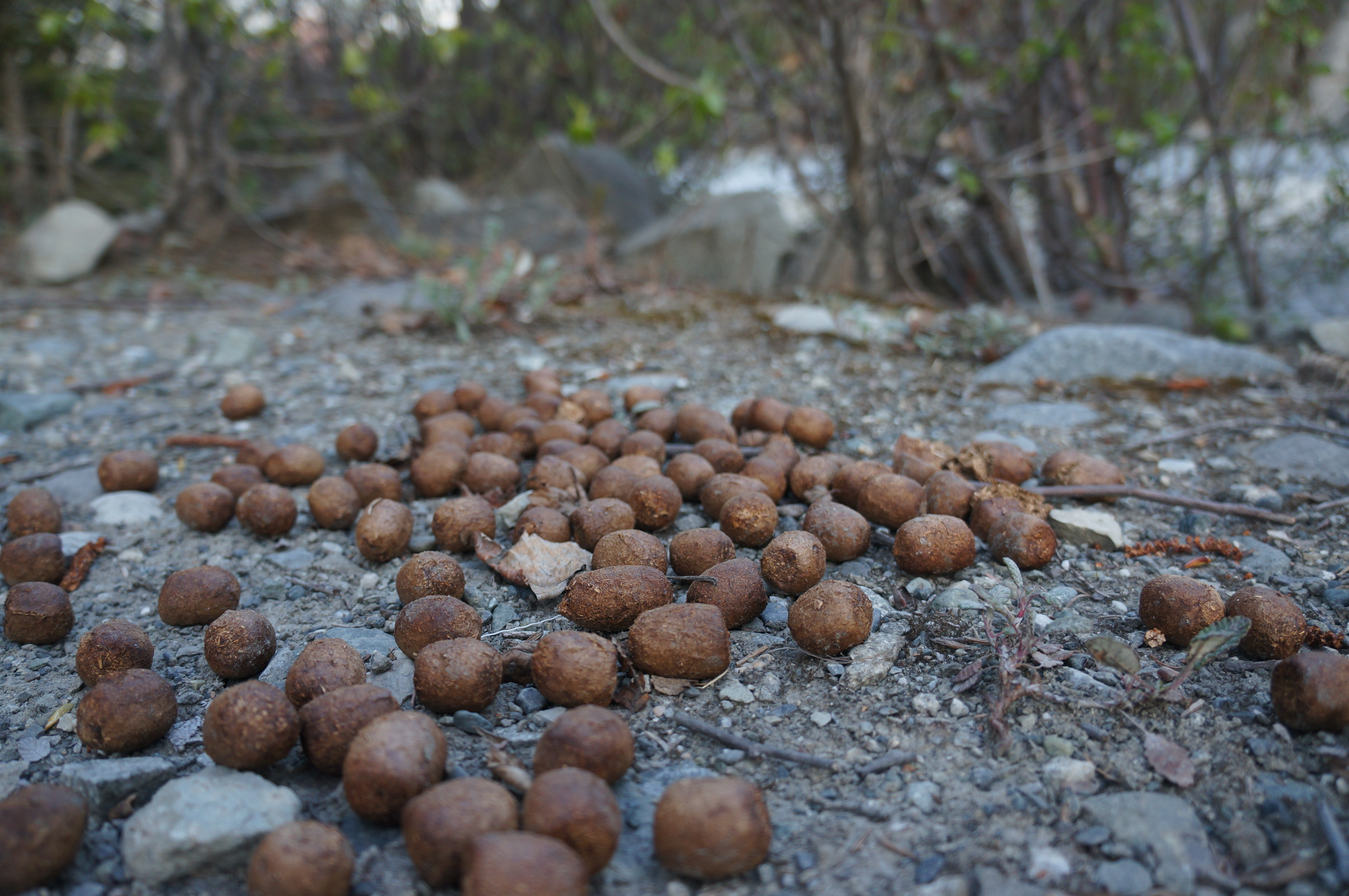
We made it past Sheep Mountain with much more climbing, saw ten Dall sheep, and found a lodge that looked closed. We found a person there to ask about where we could camp, and it turned out we could camp there! For $20, of course, but we were happy because there was fresh water, electricity to charge our various devices, and showers(!!). We had more dehydrated beans for dinner, and washed off three days worth of dirt.
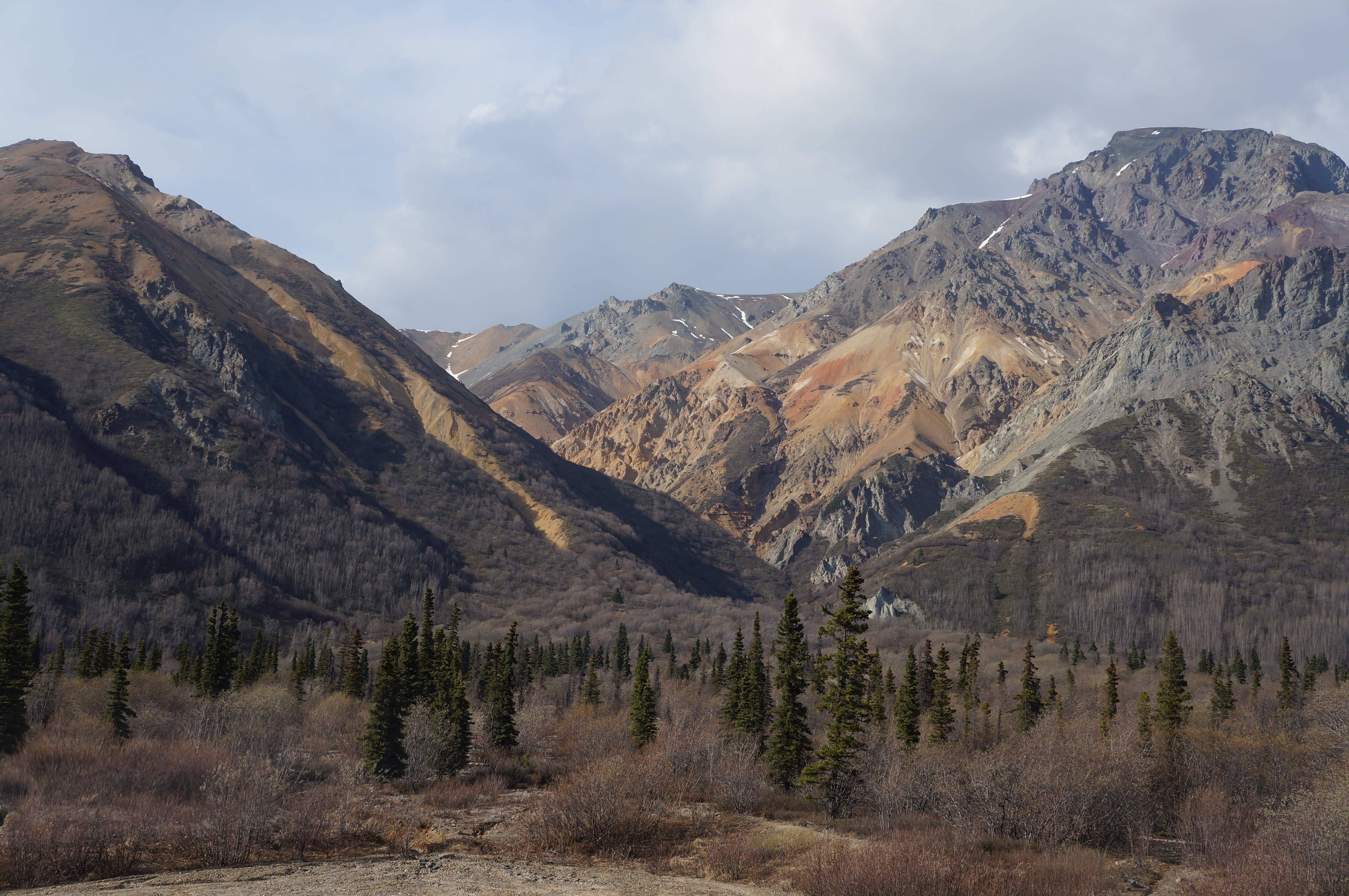
Rusted Gypsum made the hills near Sheep Mountain bright and beautiful.
Just as we crawled into the tent at 8:30 it started to rain. A storm had been gathering all evening, and it finally reached us. We were so happy to be warm, clean, and dry! It was a restful, and cold, night.
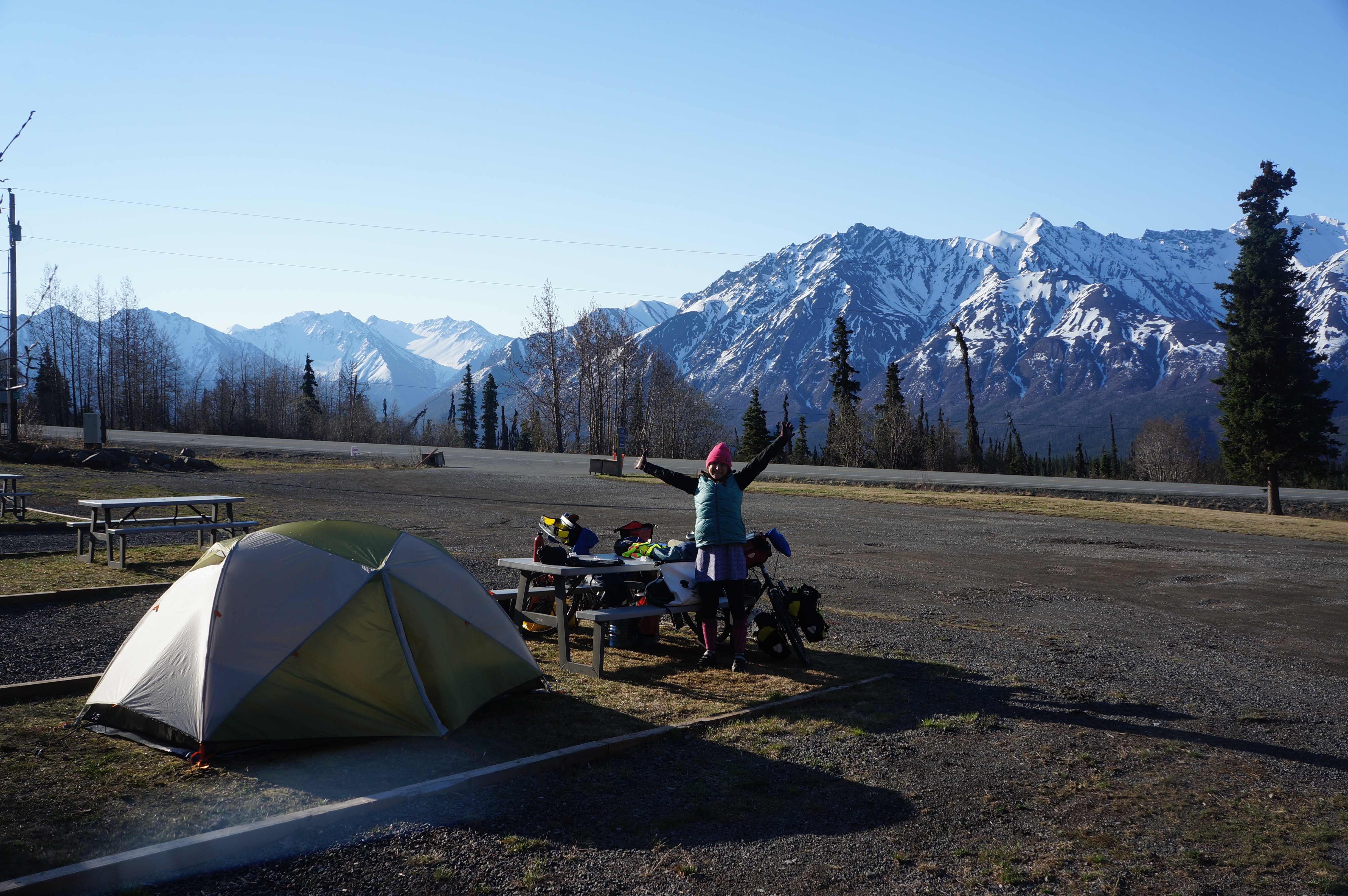
What an incredible spot for camp.
May 14: Sheep Mountain to Glennallen – 76 miles
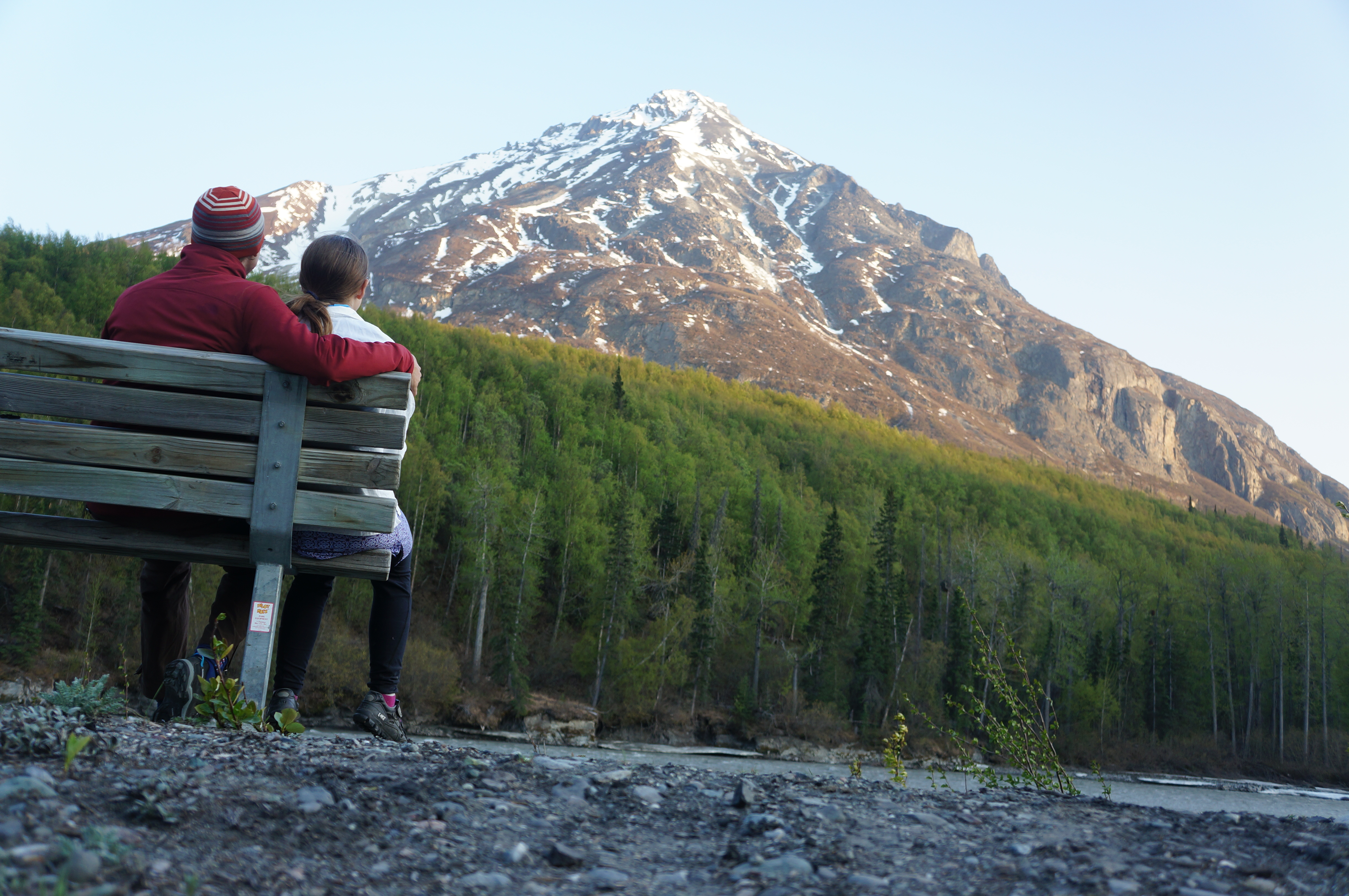
A stunning day to ride over the highest point on the Glenn Highway! We awoke to ice (it really was cold) and crisp clear skies. With many layers on, we ate a warm breakfast and got on the road. The first 15 miles were mostly uphill to the pass, and at the top we could see in all directions. We could particularly see a restaurant with coffee, burgers, and french fries.
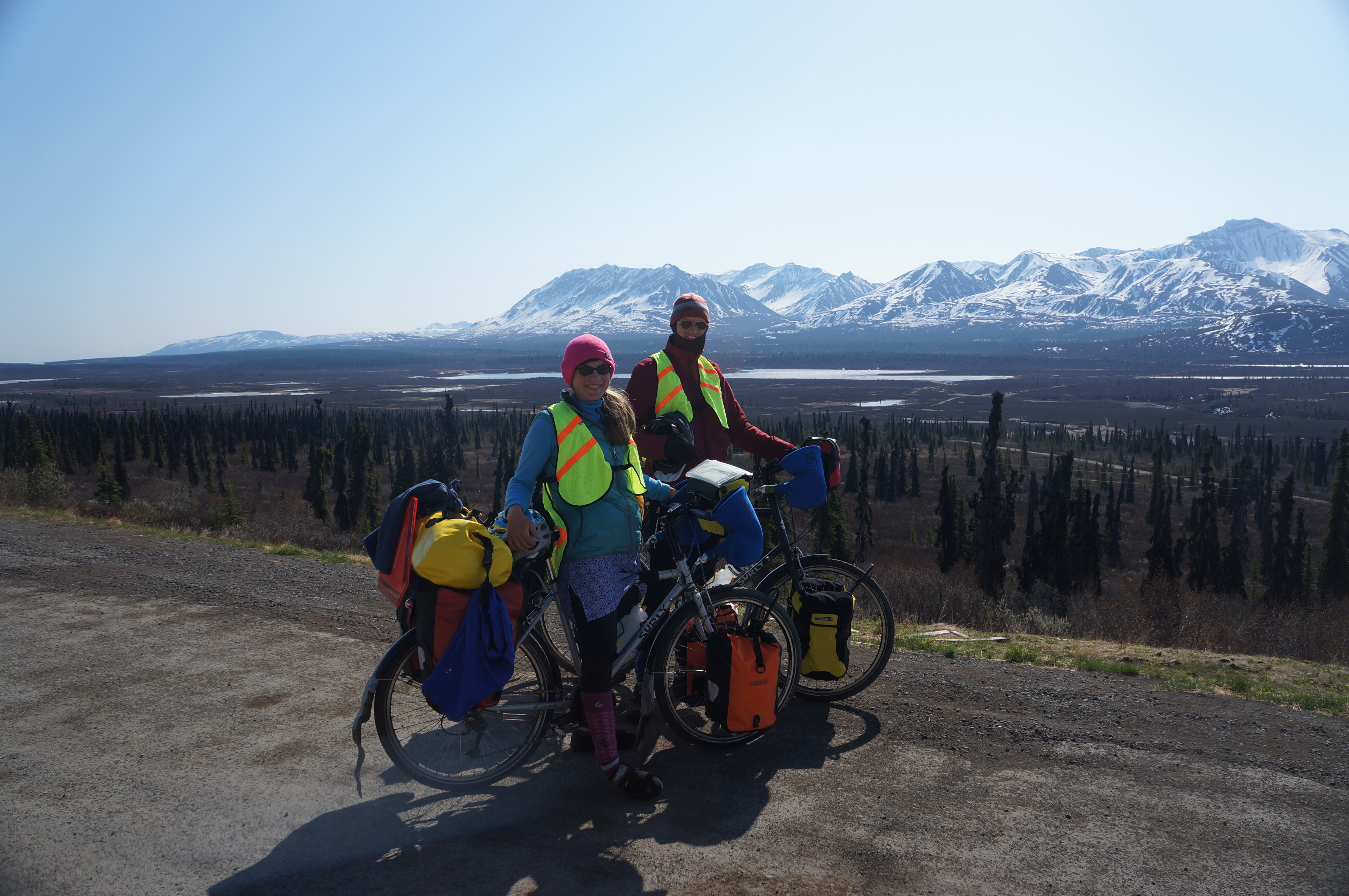
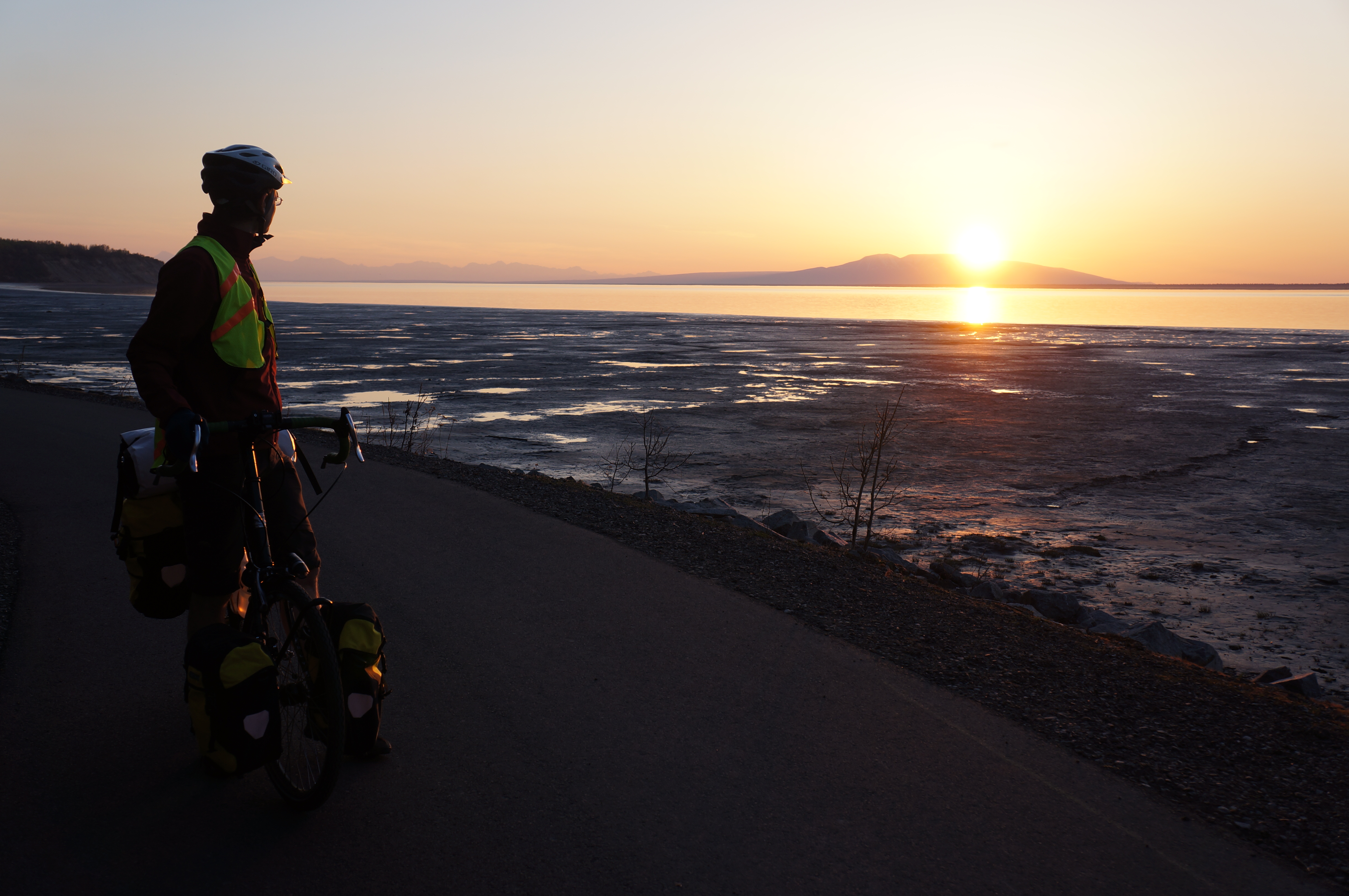
Two happy cyclists near the top.
The folks in the restaurant had all passed us on the road in the past day or so, and were so friendly! We have been hesitating to tell the folks we meet about our entire route, sometimes telling them that we are going to Mexico instead of Argentina, just because the folks in Pennsylvania that we met were so boggled by the idea. The folks here just take it in stride though, so we decided to tell them the whole story from here on out. Except if we get a bad vibe, in which case we tell them we are visiting our friends in the next town!
After our delicious first lunch, we started down the pass. It quickly moved away from the mountains and into a never-ending forest of stunted spruce trees. Actually, it was visually striking if somewhat monotonous. The four giant mountains in the Wrangell range slowly came into view as our day got longer and longer.

The road leads straight towards the Wrangell Mountains
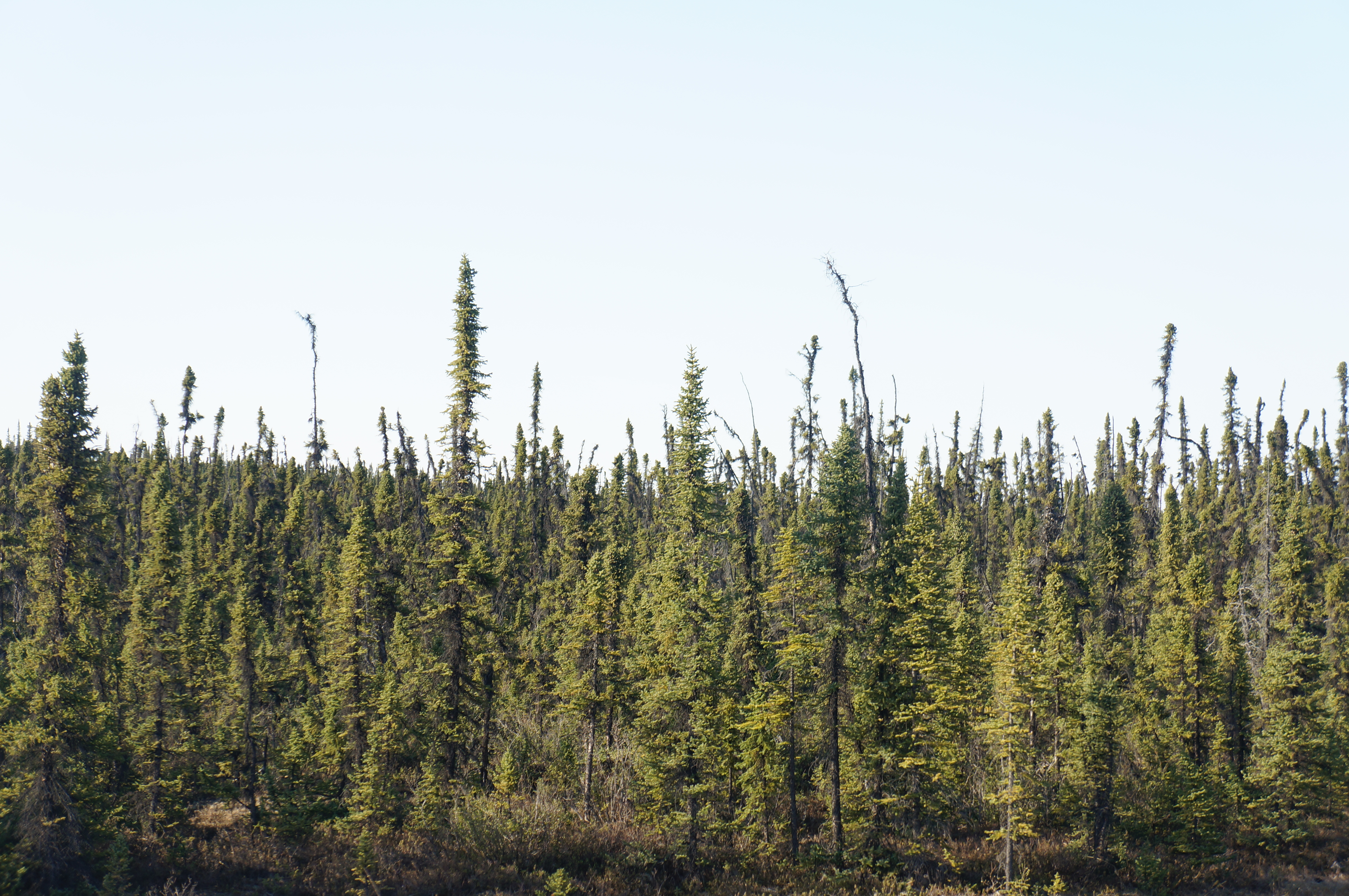
Stunted trees as far as we can see.
We had second lunch at a rest area with a single, sad picnic table. The road rose and fell for many many miles through the spruce forest, until we stopped for dinner on the side of the road about 15 miles from Glennallen. We decided to eat dinner, and then ride to town and find a spot to camp. There are campgrounds here, but they don’t open until tomorrow!
Luckily, we saw the library… three ladies were sitting in a truck in front of it, and we stopped to ask about camping. We asked if anyone would mind if we camped behind the library and they said ‘This is Alaska!’ Apparently, we can pretty much camp wherever we want! They were very nice, and even told us about the WiFi here. Wow. Tomorrow we will ride through town first thing, and hopefully find some espresso for me… and of course re-stock some food supplies too!