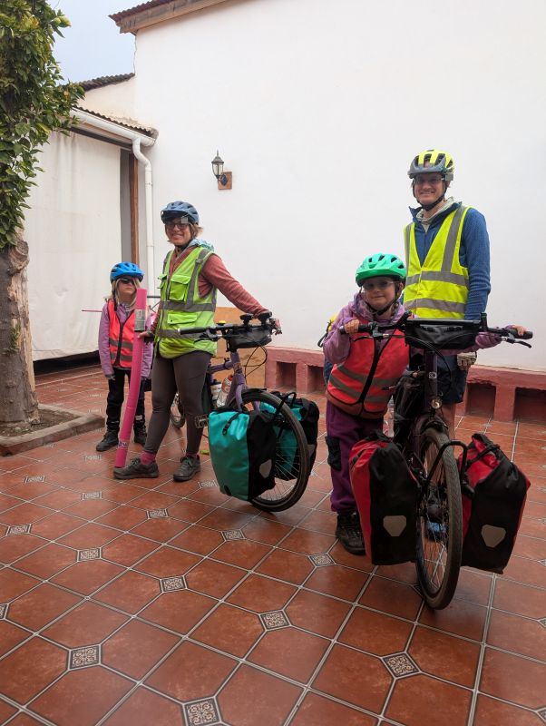
This post covers our last days on bike tour, as we reached our final destination of La Serena. The closing days of a big trip are complicated. There’s joy, satisfaction, and celebration, but also sadness. We planned for this (of course), making sure the last stretch was incredible and also planning for a post-cycletour adventure right away. We will get to a big summary post later, but for now let’s relive and enjoy the final riding days of our Chilean tour.
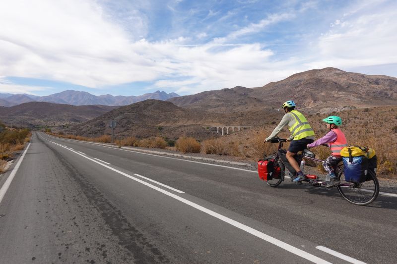
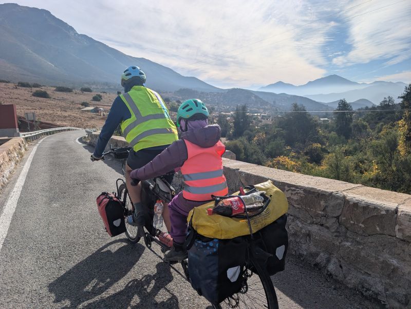
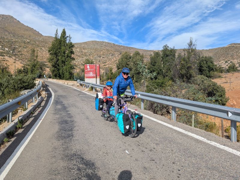
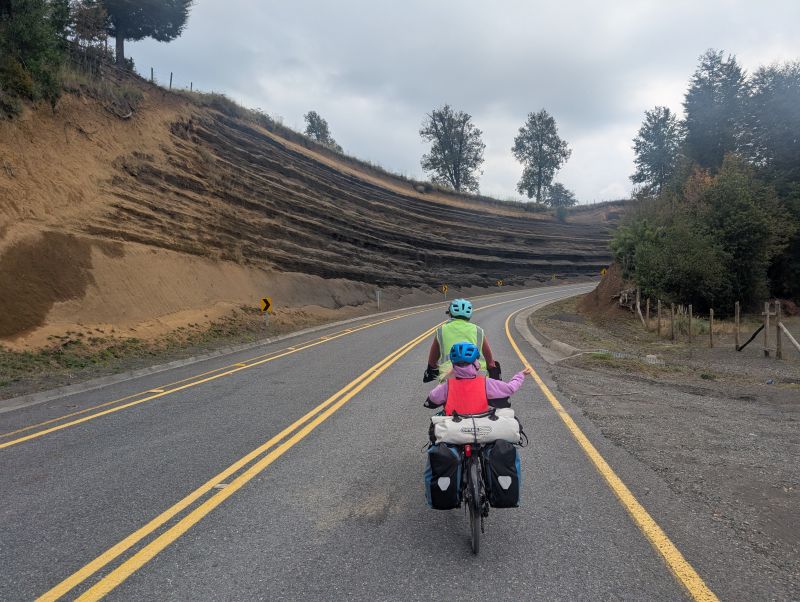
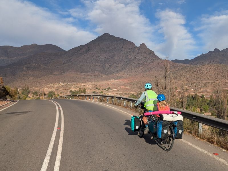
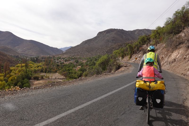
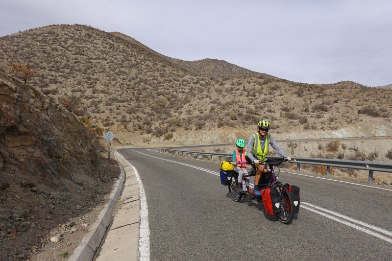
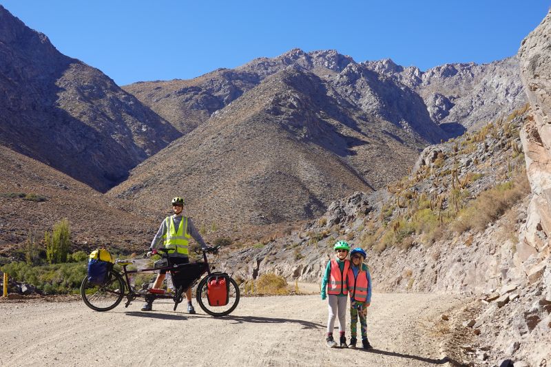
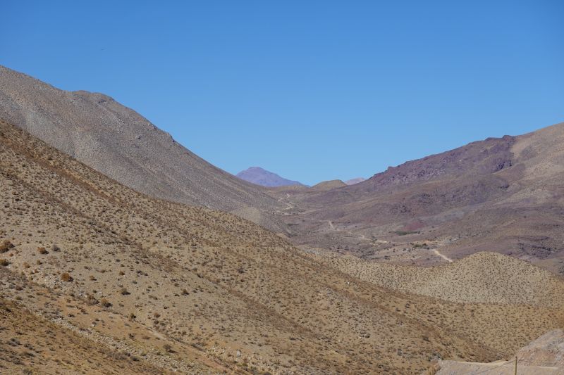
Between Ovalle and La Serena we rode one last big pass up the Hurtado river valley. It’s called the ‘Antakari Route.’ We found it to be perfect.
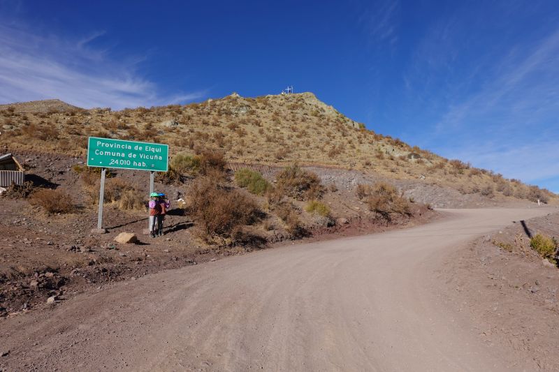
Day 153: Ovalle to Pichasca (50 km / 31 mi)
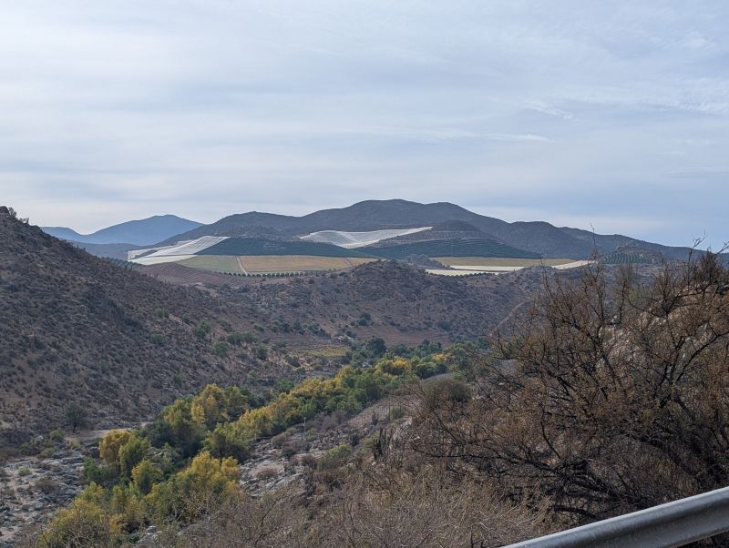
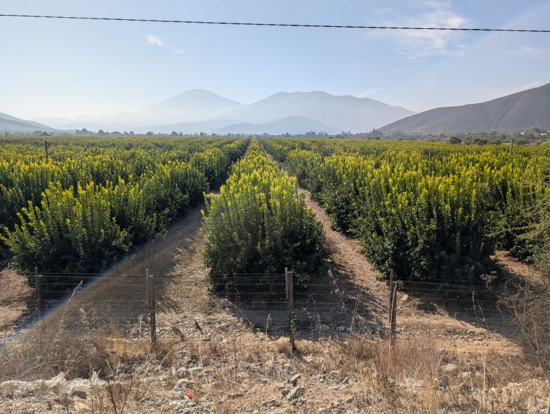
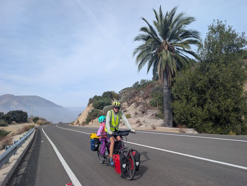
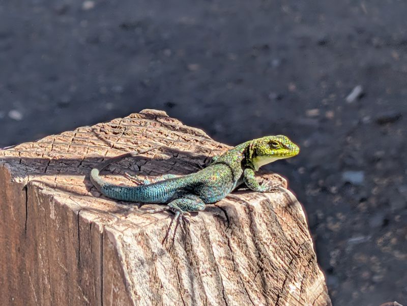
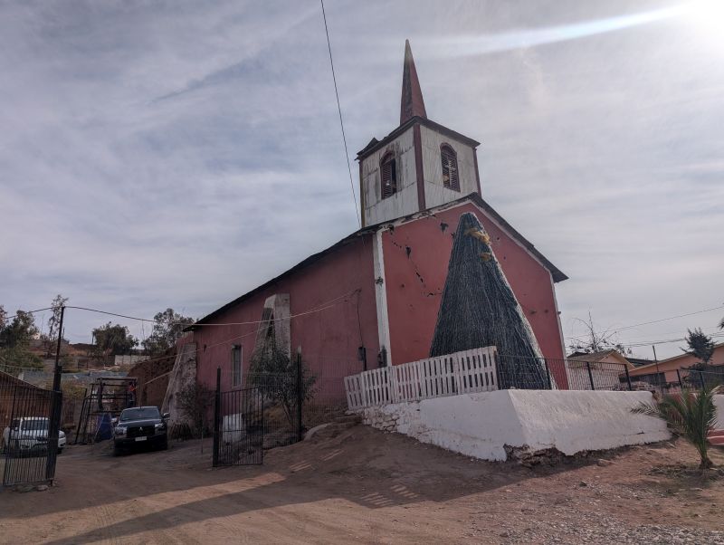
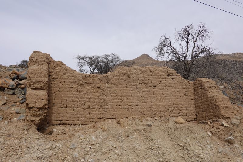
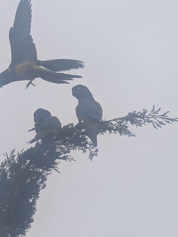
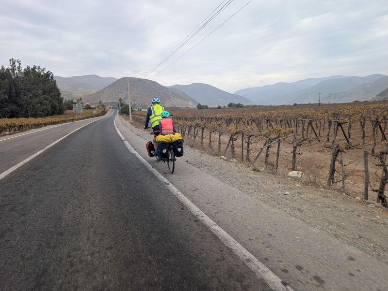
The ‘big city’ of Ovalle was surprisingly easy to escape. After a goodbye chat with Luz Marina, the boss of the hostel, we rode out of town on a charmingly small road. Our favorite morning stop was next to a big church made of mud bricks. A large flock of noisy parrots were living in its walls. We stopped for a long time to watch and take pictures before continuing up the road. We rode past vineyards and small settlements, truly enjoying the good riding conditions as we slowly wound up the valley.
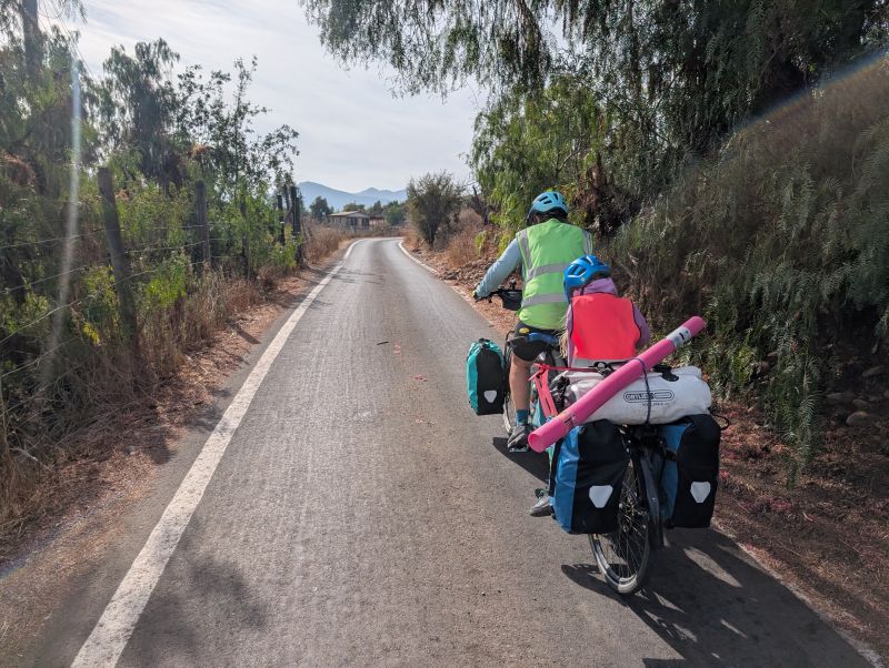
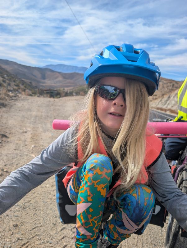
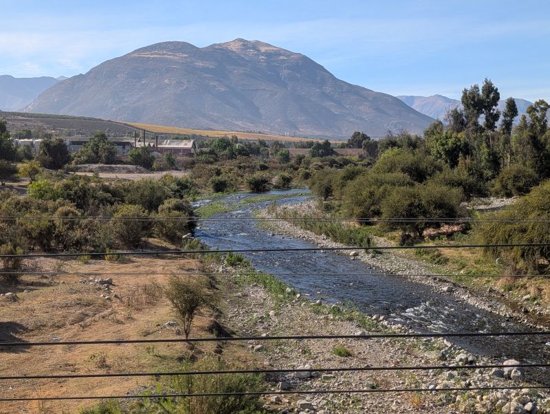
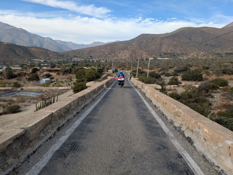
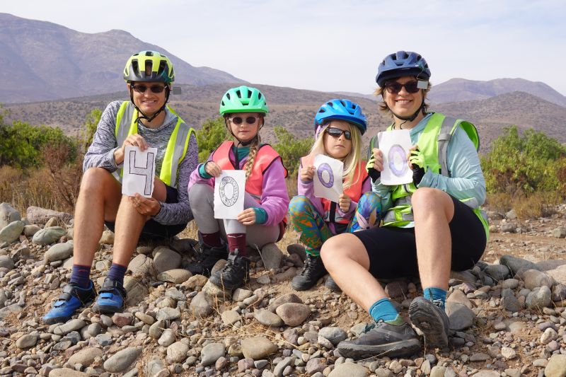
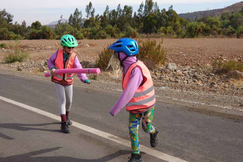
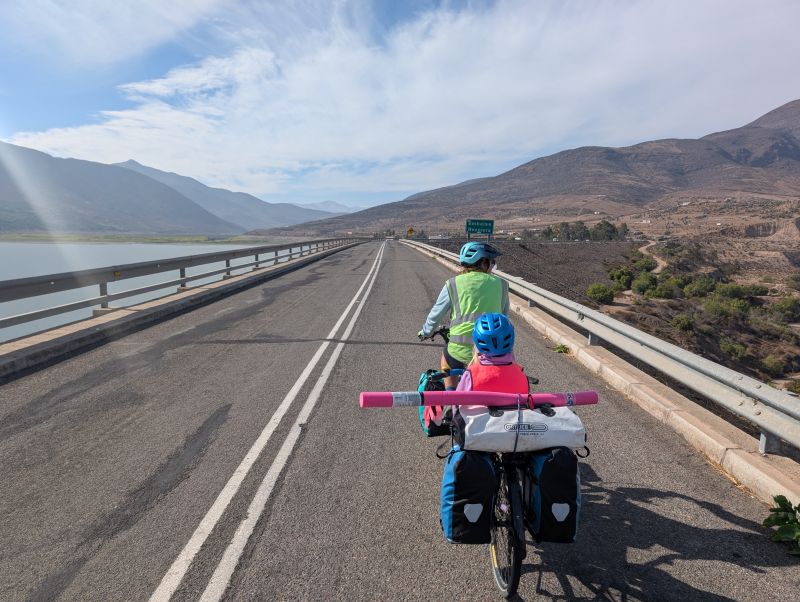
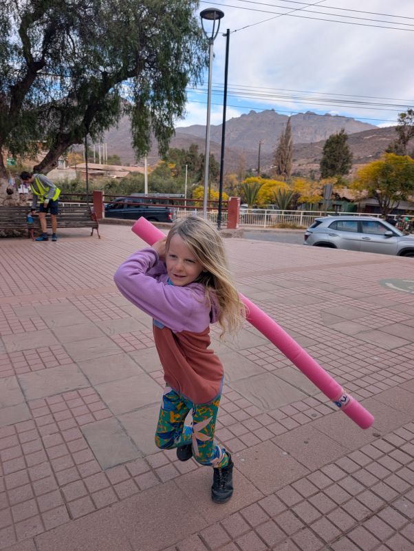
Before joining the main route we stopped to take our 4,000km photo and let the girls play with the pool noodle in the middle of the traffic-free road. From there it was a steep climb to rejoin the ‘main’ road that took us over a dam. The entire family was ooh-ing and ah-ing and hollering when we saw the sparkly water. It was a joyful crossing as we looked down the dry valley and up towards the reservoir. Luckily the only cars on the dam with us didn’t seem to mind.
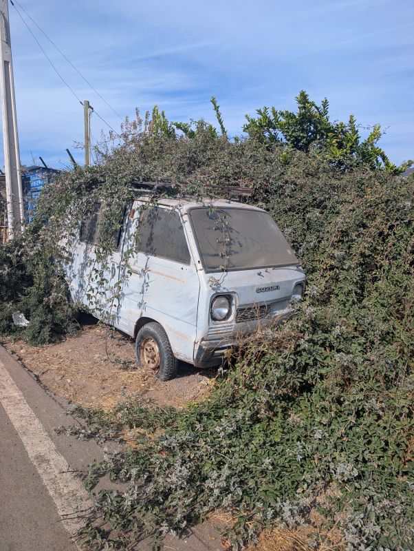
On the other side we stopped for a picnic lunch on a pullout with a good view up the river valley. On the other side of the road was a junkyard, which we thought was a funny contrast.
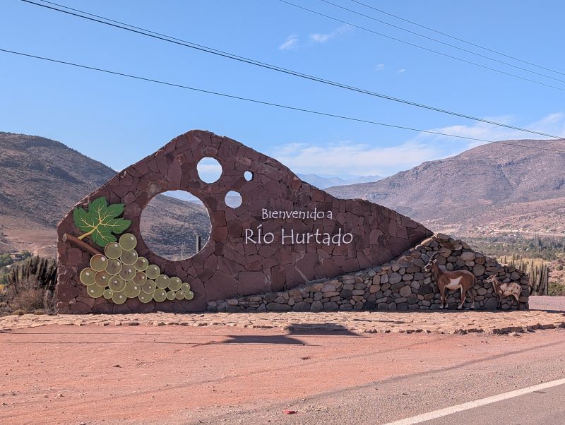
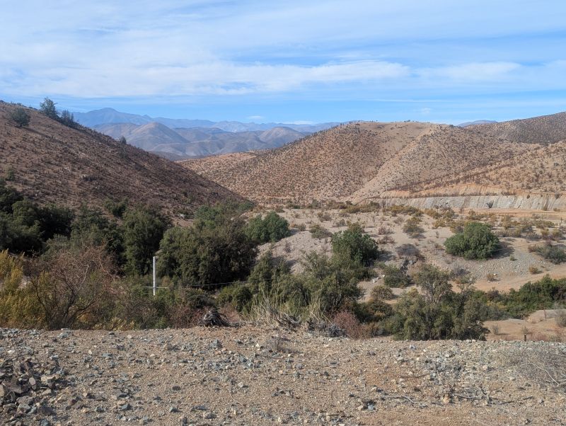
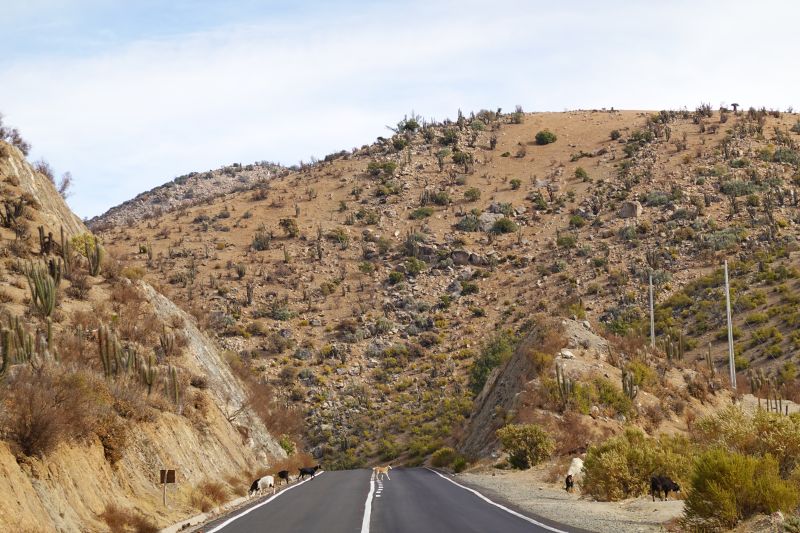
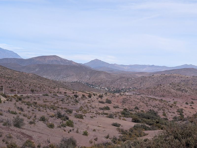
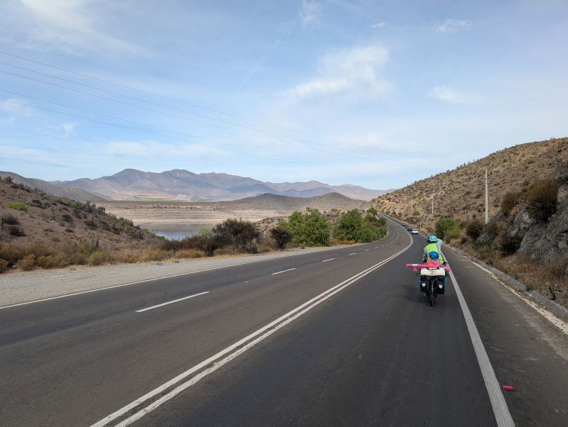
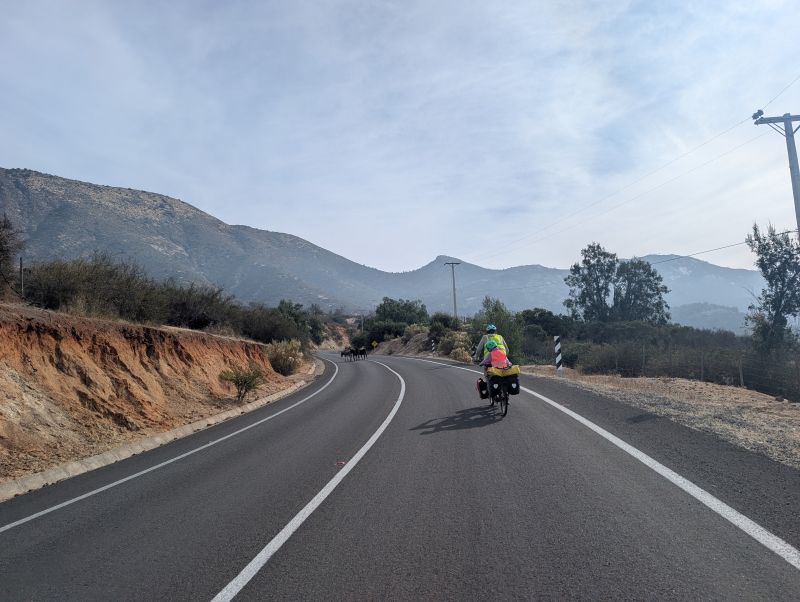
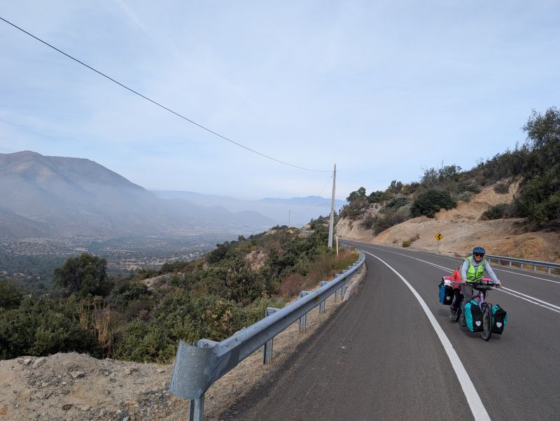
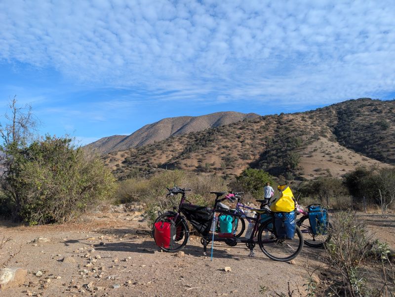
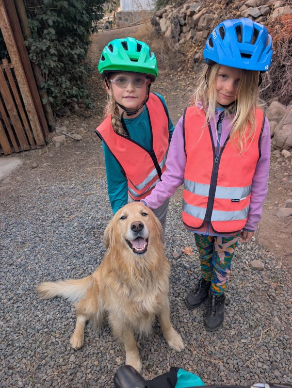
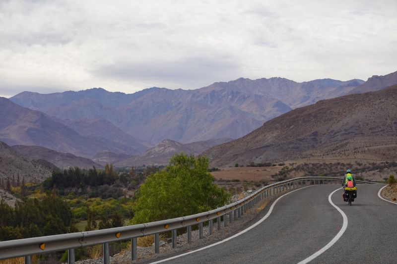
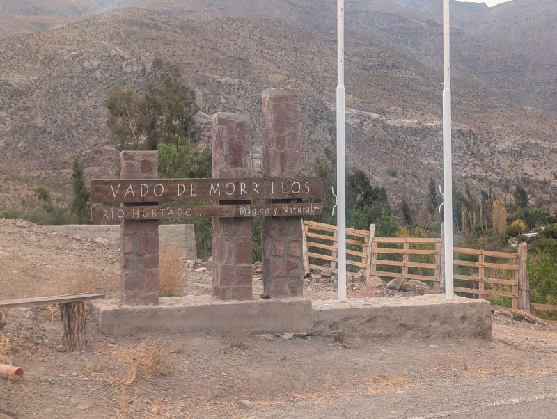
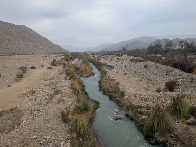
The rest of the day was spent gently winding uphill along the river valley. It didn’t feel remote, since there were lots of little towns along the way, but the traffic was very light. We enjoyed the many welcome signs along the way and the increasingly good views of the mountains on either side of the road. By the time we reached the bigger town of Pichasca we were ready to be done. We stopped at the market to buy dinner supplies then headed to our cabin for the night down the longest, skinniest driveway we’ve seen in a long time.
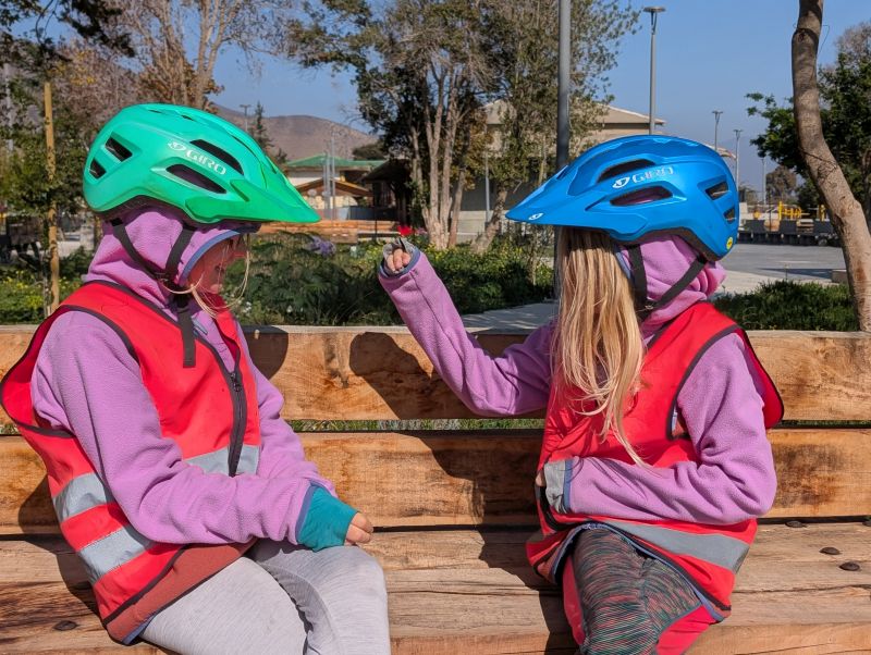
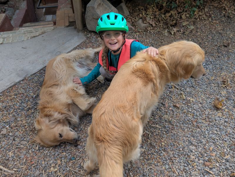
The welcoming committee was two beautiful golden retrievers. The girls were both absolutely delighted to give them pets. We ended up discussing our future guide dog puppies at length that night. We really want to raise a golden in the coming year.
Day 154: Pichasca to Hurtado (32 km / 20 mi)
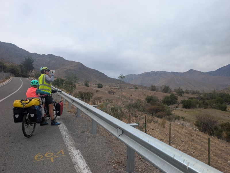
The menu for today was another long, slow climb up. There was almost zero descent as we continued up the river valley.
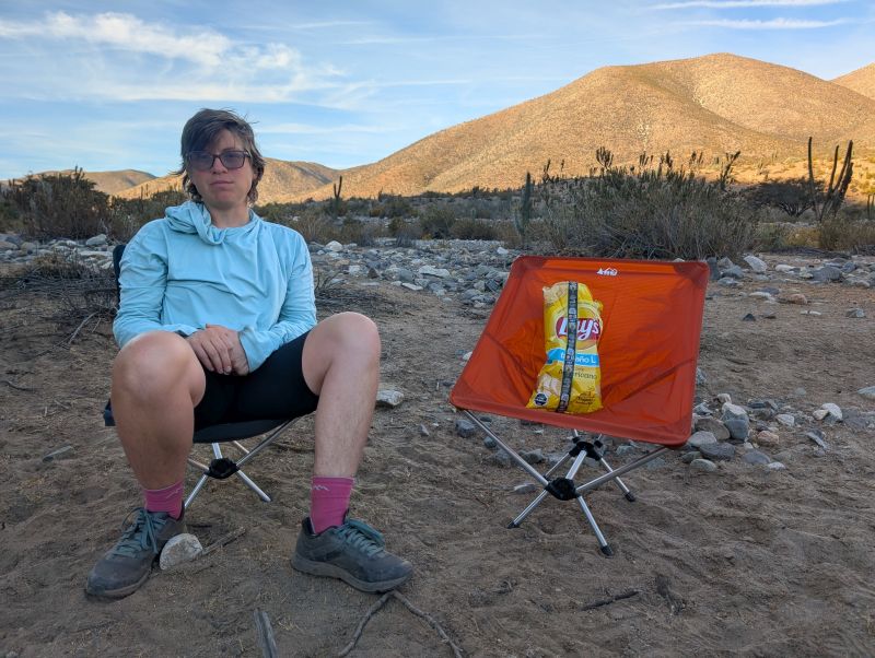
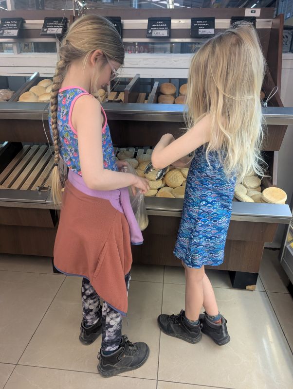
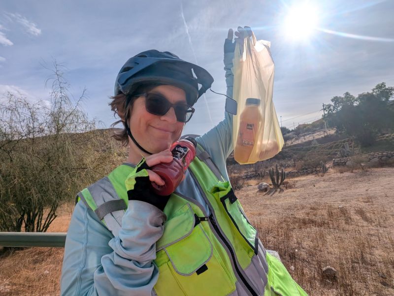
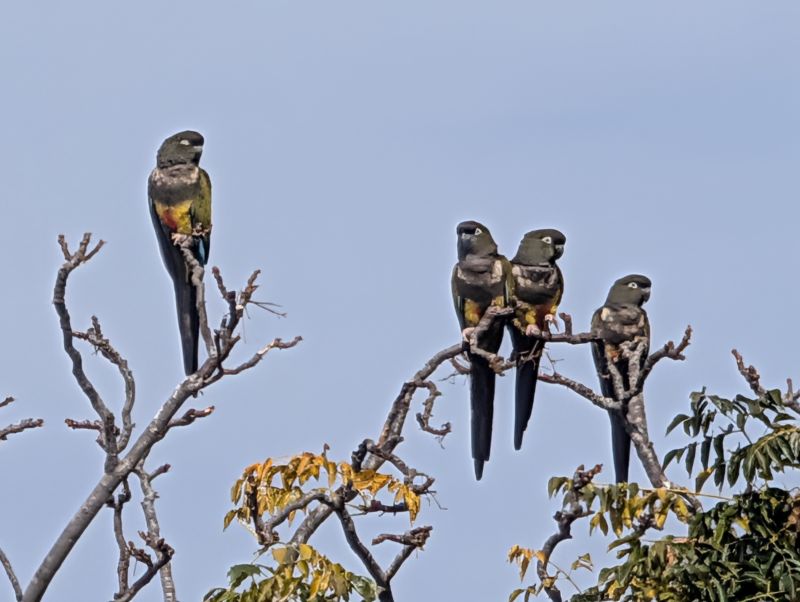
The morning’s ride was quiet and lovely. We had planned to try and get lunch in the town of Seron, but when we got there all the restaurants were closed. In front of the most promising restaurant was a seating area filled with folks sharing a six pack of beer at eleven AM. We decided not to join them! Instead we bought some chips and sandwich supplies at the minimarket and had a picnic in front of the library. Noisy parrots were everywhere in this town, and it was fun to watch them squabble over the best perches on the trees. The thinner trees drooped with the weight of so many parrots.
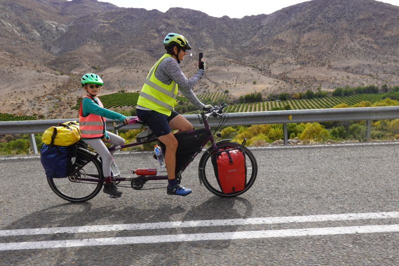
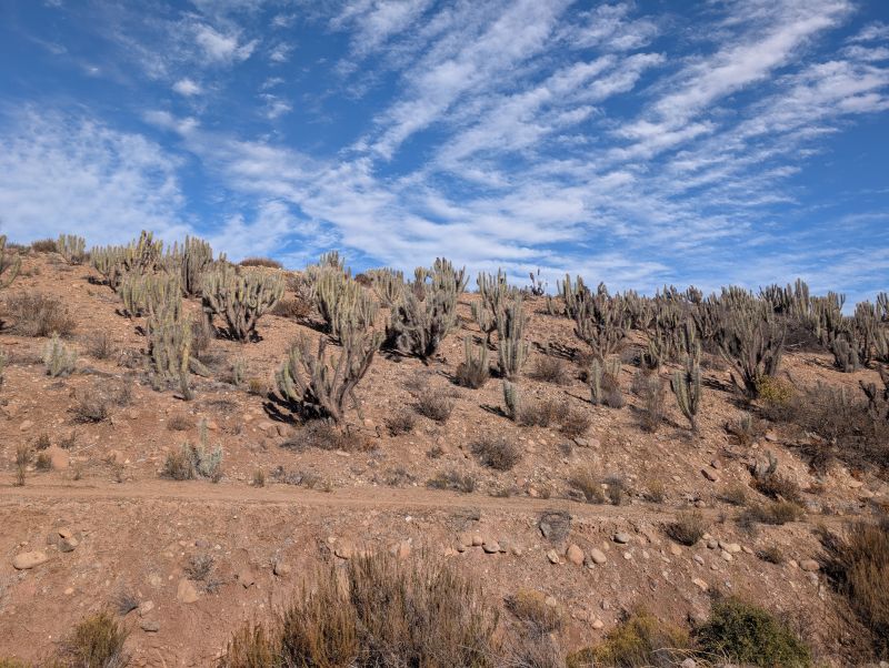
After lunch the valley became less populated. It was dry scenery on either side and greenery in the river bottom. We played leapfrog with a truck that was essentially a minimarket. They would pass us with the loudspeakers on advertising all sorts of goods, then we would pass them when they stopped to make sales.
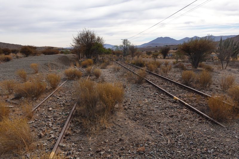
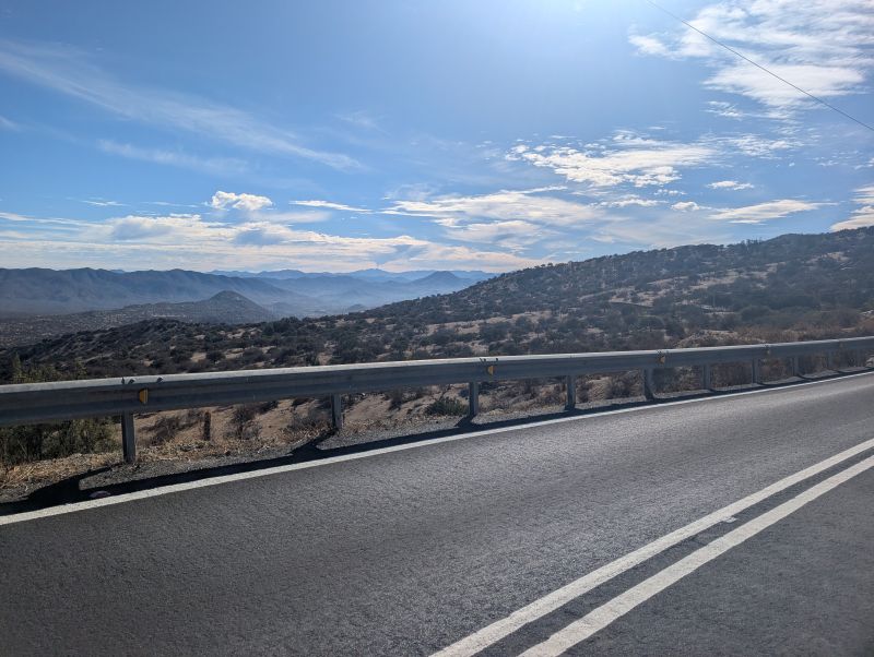
As we got higher up the valley the road wound more steeply. We crossed a river and saw that the trees had been recently burned in a fire. We later learned that it burned a couple years ago. The road got steeper as we got more tired (classic!) but we only had to push up a couple steep sections. This is the same route Jason and I rode eleven years ago during a 100-year rain storm. Last time it was dirt, and this time it was beautiful pavement.
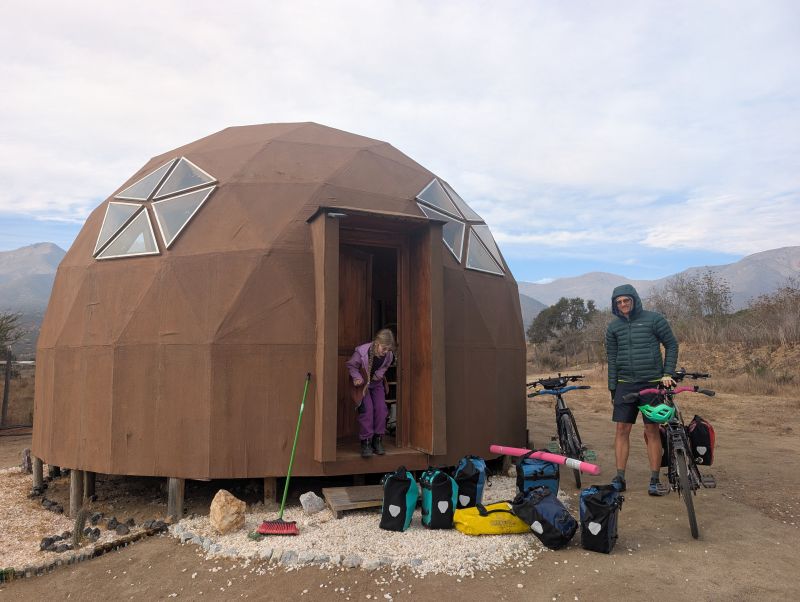
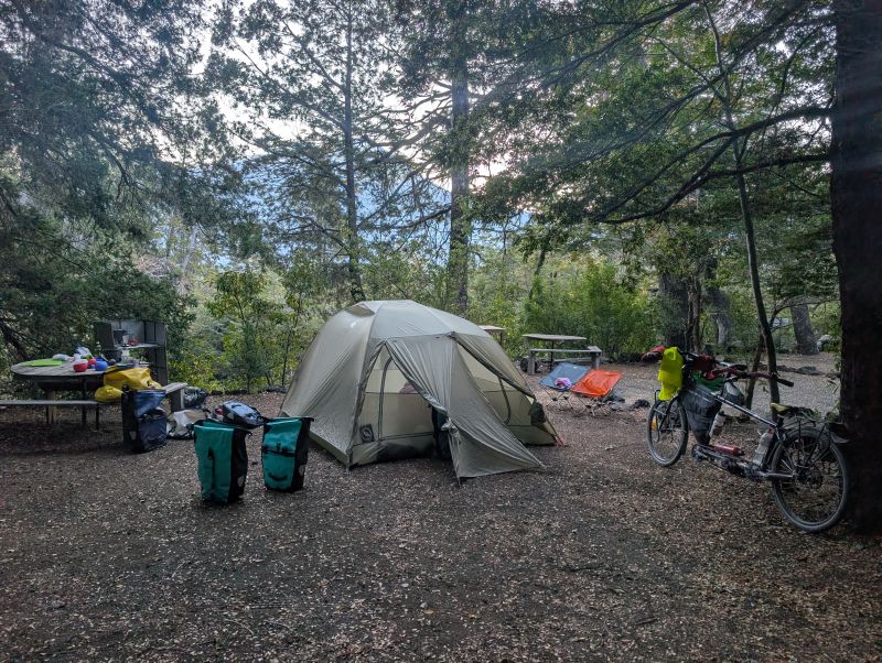
When we reached the town of Hurtado we had no plan for where we would stay. There is a campground just south of town down a steep dirt road, but we had no way to determine if it was open. Our cell phones had exactly zero service. We rode all the way through town, stopping to ask about lodging in the municipal building (guy there had no idea) and the firehouse (no one there). We reached the police station at the very end of town having seen no place to stay and still without phone service.
This time we had a plan – go in with the kids and ask ‘for help,’ not for lodging. The guy at the police station was like ‘Oh, try the campground,’ which was great advice except for the no phone thing so I asked him to call the owner for us and he did! He gave us directions to meet the owner of the campground back at the beginning of town. She was waiting for us in front of her house when we arrived and offered us a tiny apartment right on the main street. We were delighted!
She was so kind and told us about how she had moved here about five years ago to care for her aging mother. Her sister owns the restaurant across the street where we got huge plates of beef stroganoff for $5. We encouraged her to get a sign up about her small apartment, because many cyclists would enjoy spending a night there.
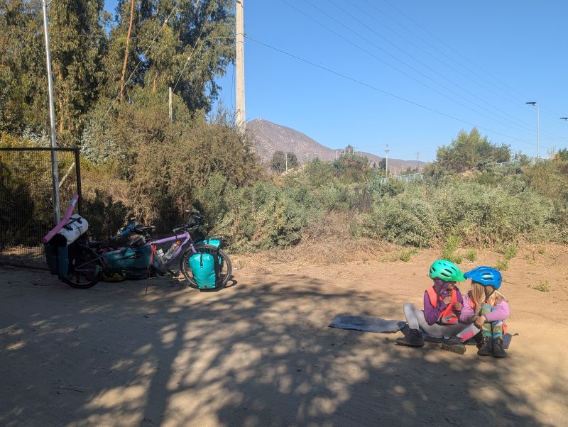
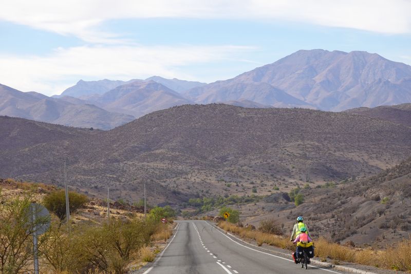
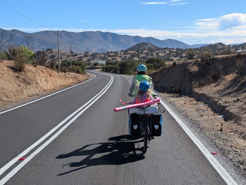
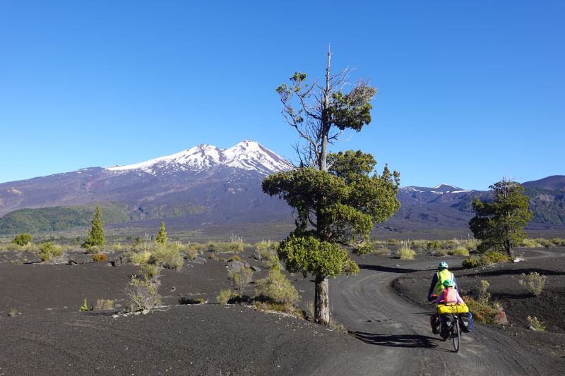
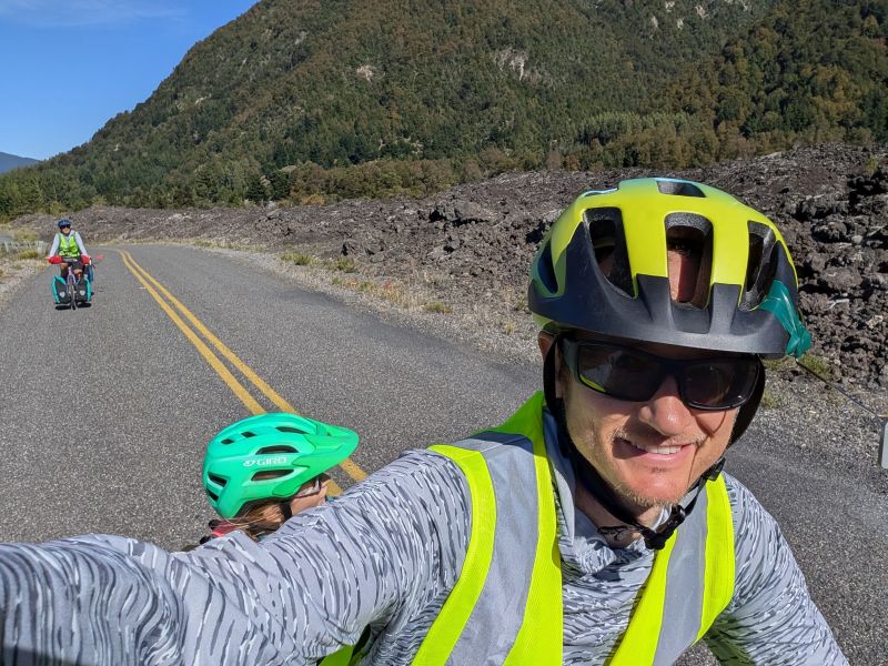
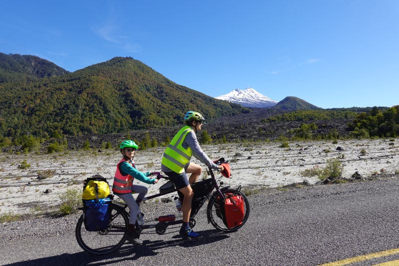
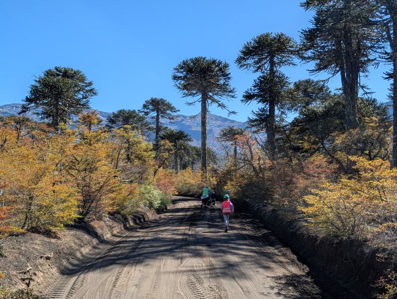
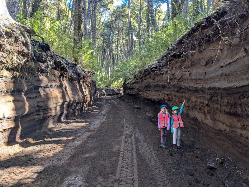
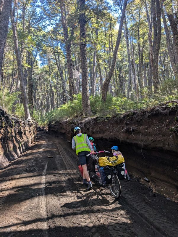
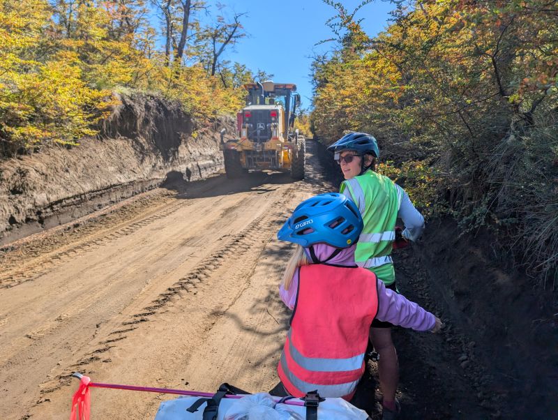
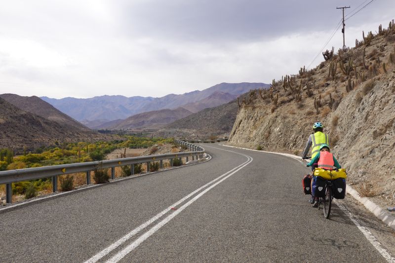
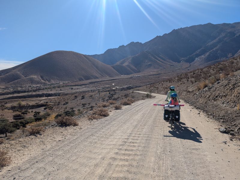
Day 155: Hurtado to Wild Camp over the pass (16 km / 10 mi)
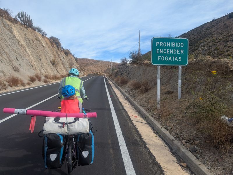
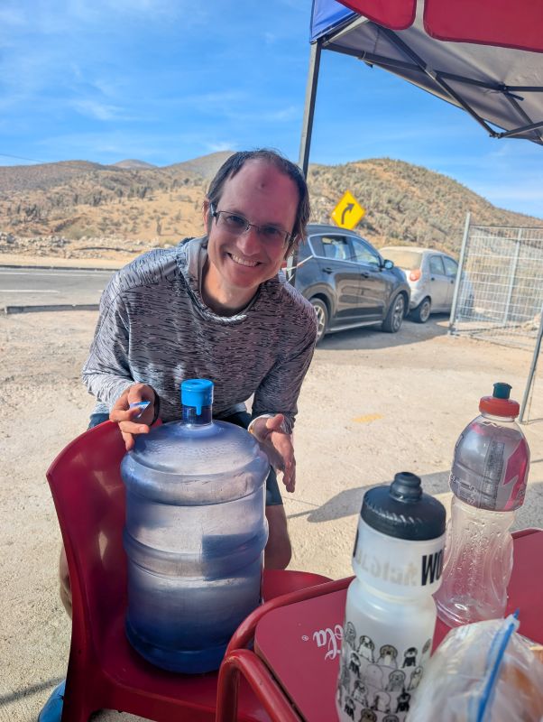
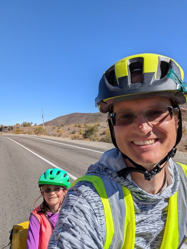
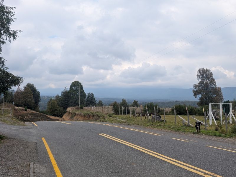
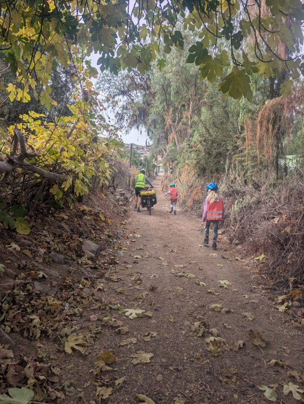
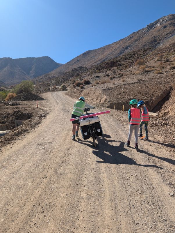
Today was spectacular. It started off as a search for supplies in Hurtado, which has several small minimarkets that collectively have whatever you need. We grabbed lunch supplies of cheese and ham, chatting with the random folks around. One man shared his bag of fresh baked flat breads as we chatted about our trip. Eventually we rode all the way back through town and to the turn off to the pas.

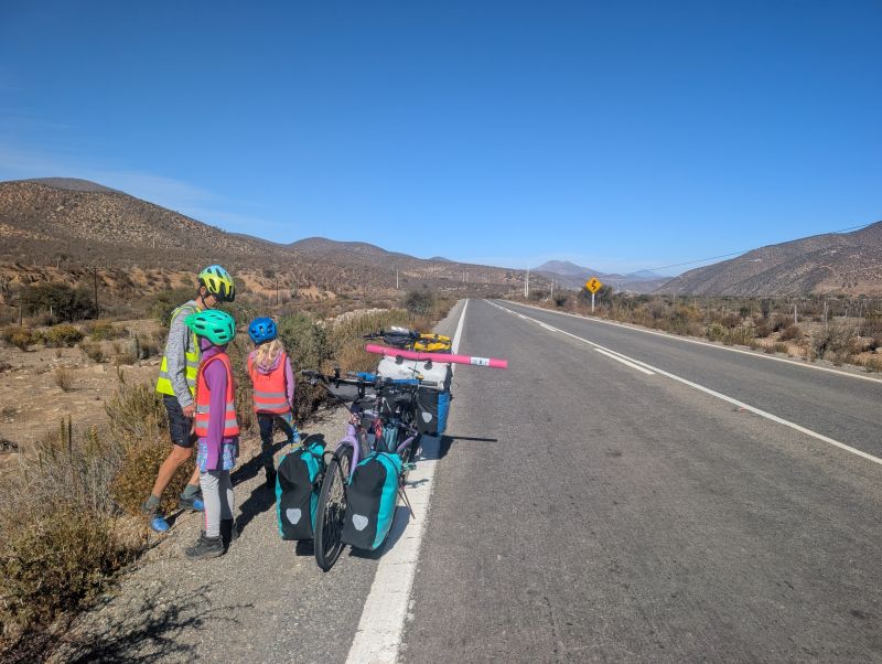
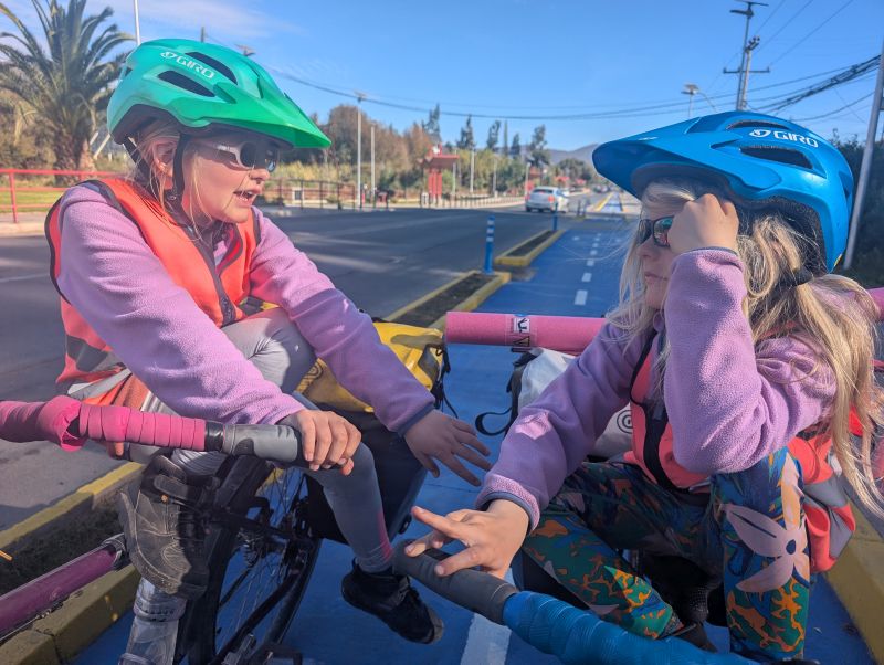
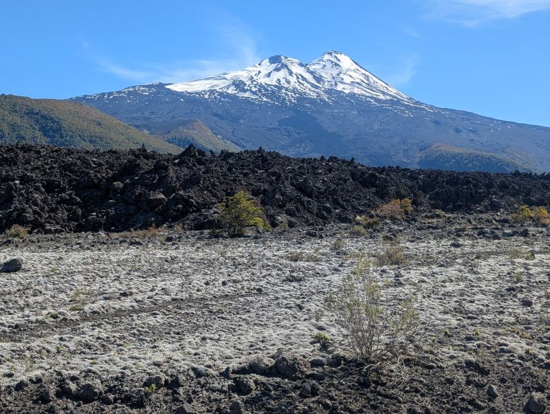
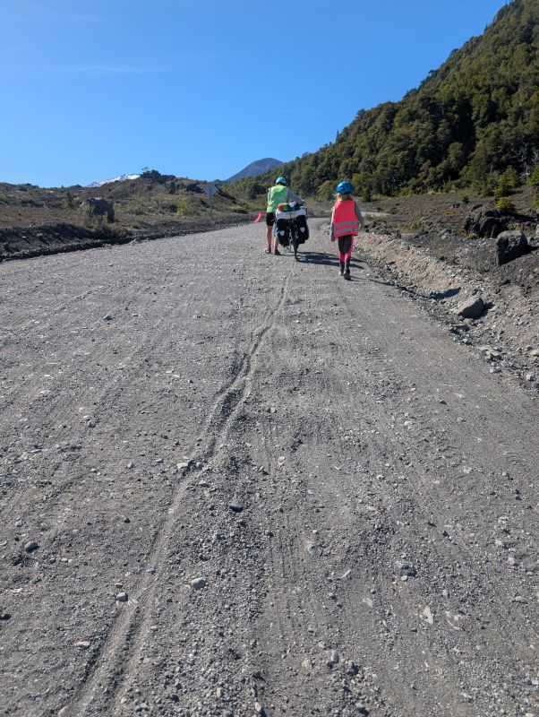
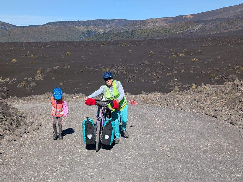
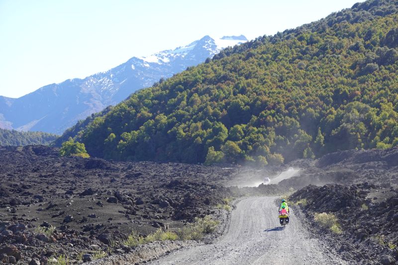
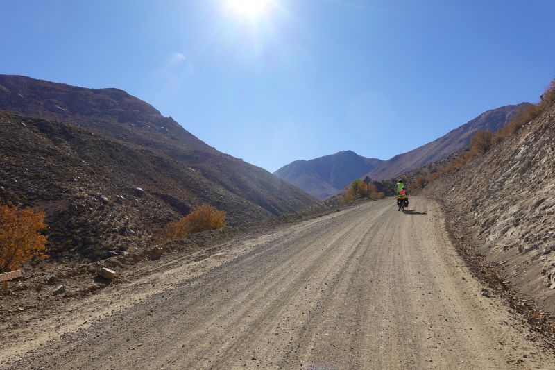
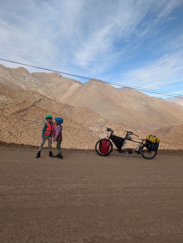
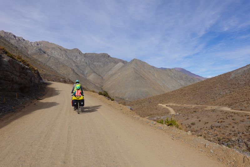
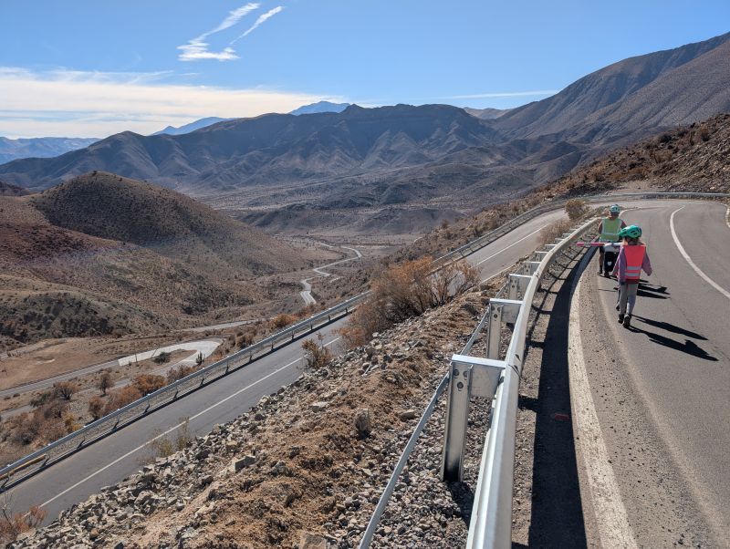
This pass was our grand finale and it did not disappoint. The climbing started immediately at the edge of town (we waved bye to the police station as we passed). Also, it switched to dirt, but really excellent dirt. It was also hot, so we kept stopping to drink as we slowly left the town below us. At one stop I started pedaling without confirming that H was well-situated on the bike and the pedals squished her ankle. She started screaming and of course I stopped, convinced that I had broken her ankle.
We sat there for a bit to assess the damage (just a scrape, she was fine) and marveling at the thought that we had made it so far without injuries. Then it was time to climb again.
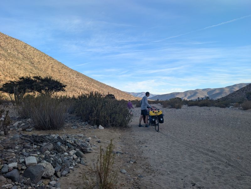
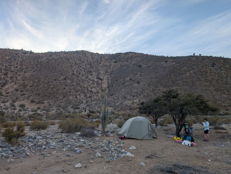
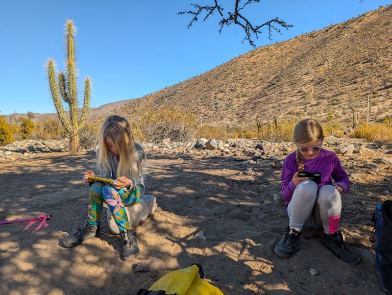
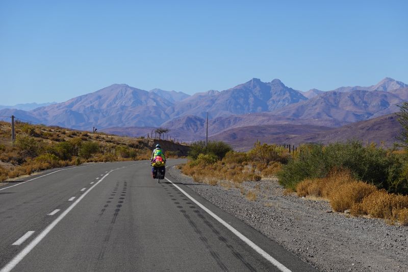
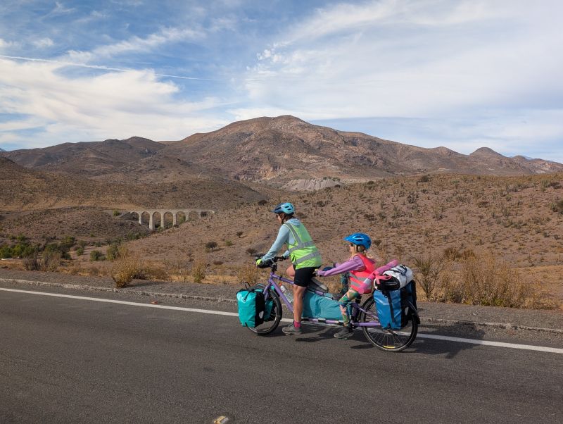
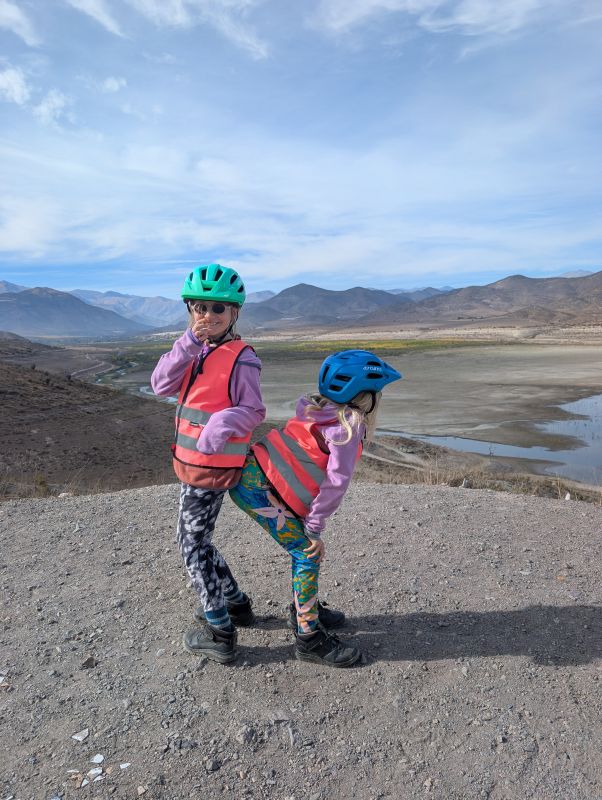
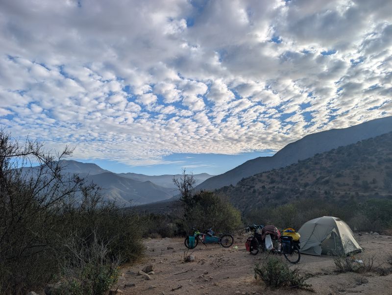
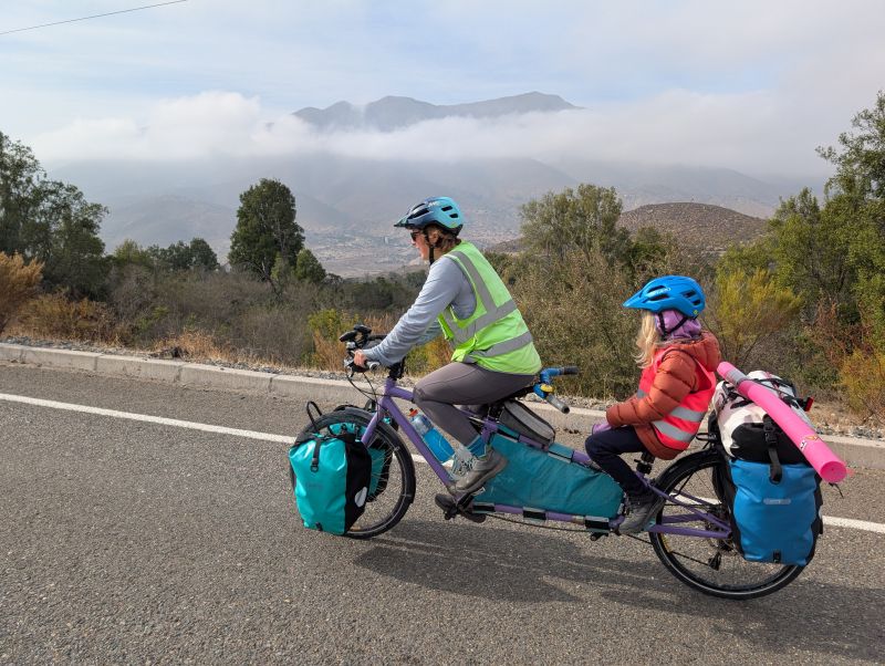
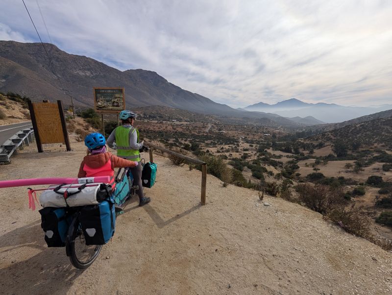
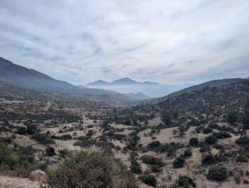
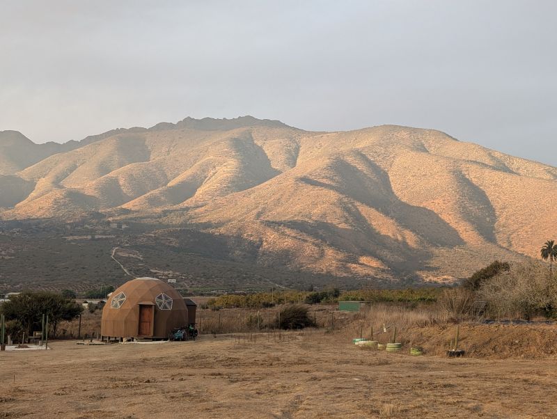
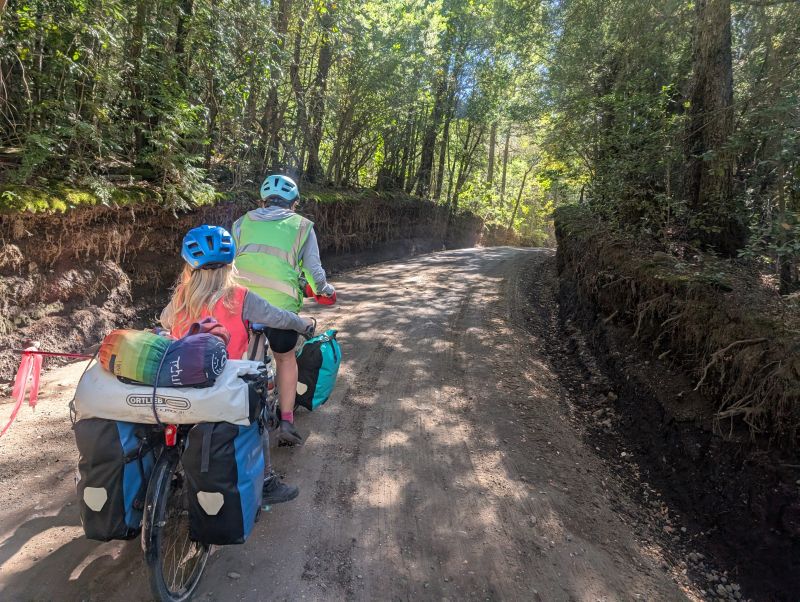
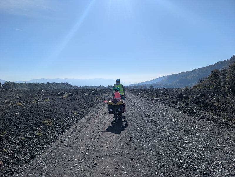
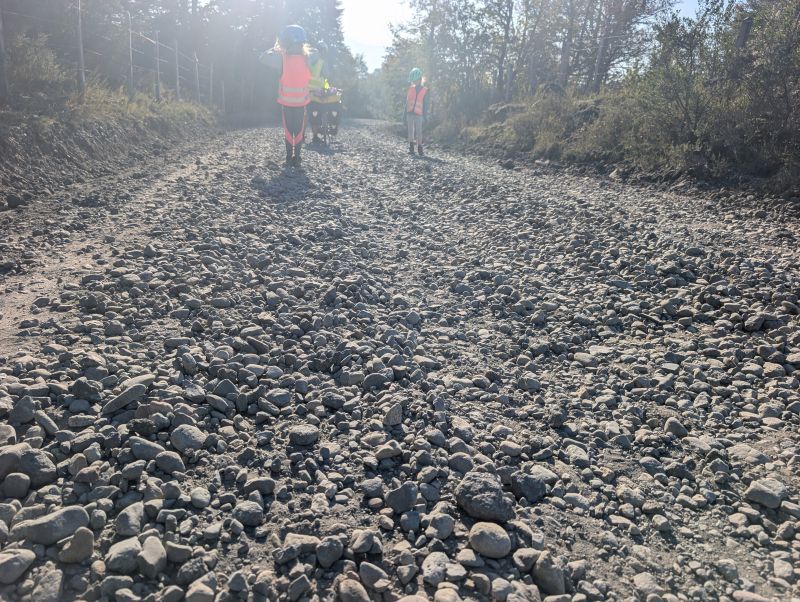
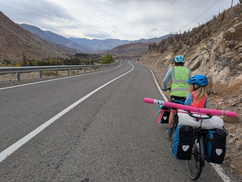
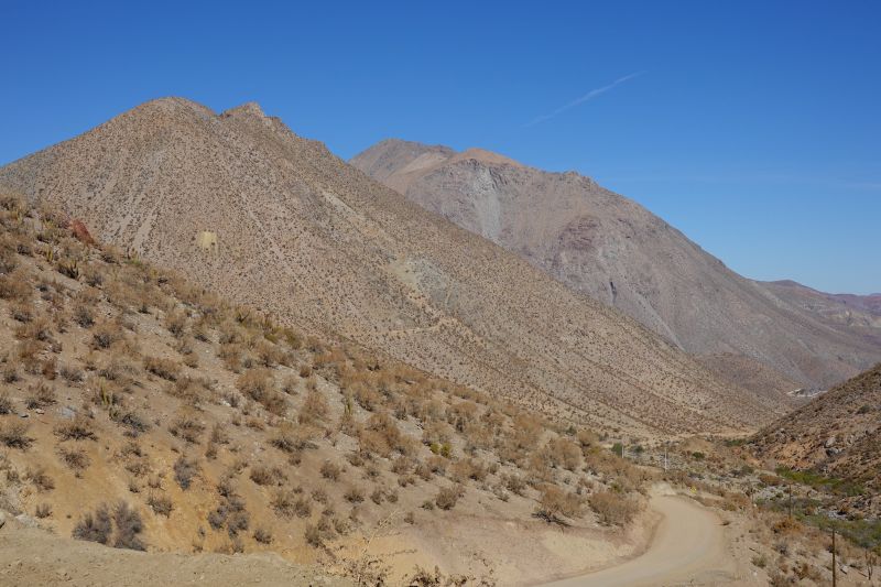
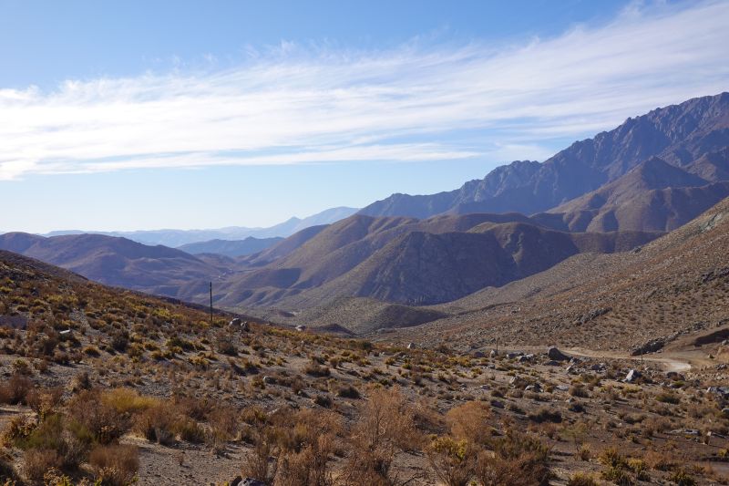
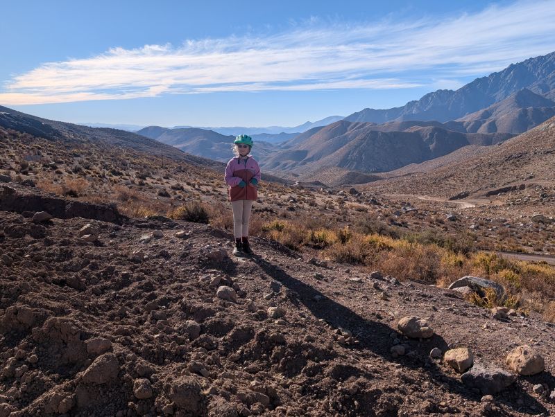
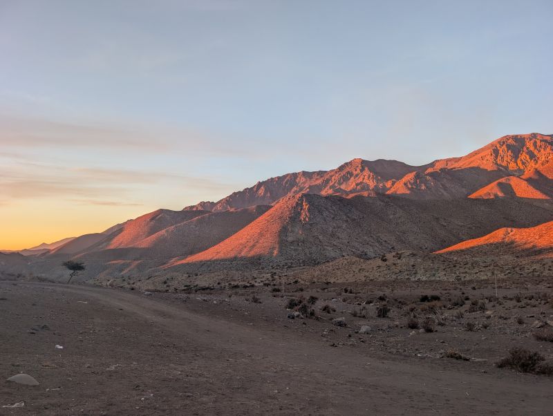
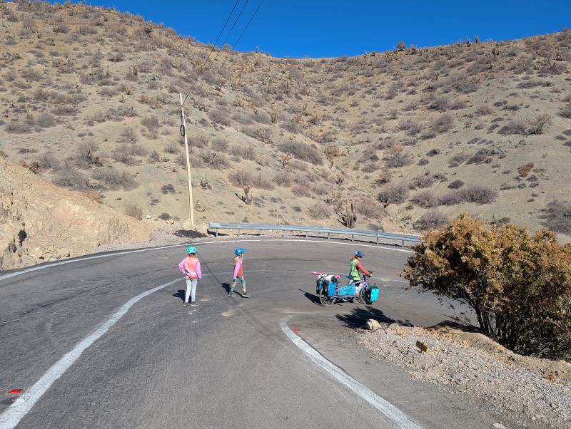
We spent the almost the entire day on the gravel climb, since we were heavily loaded with water and food. It was a day in our lowest gears with some walking thrown in, but for once I appreciated it all. The last big pass is a bittersweet climb, and even that ended. After a few photos at the top it was time to descend. Sitting at home, hearing that it’s downhill probably sounds relaxing. However… descending a steep gravel pass on a loaded tandem requires a lot of concentration. We could see far down the valley (it was gorgeous) and we aimed for a campsite about a thousand feet down.
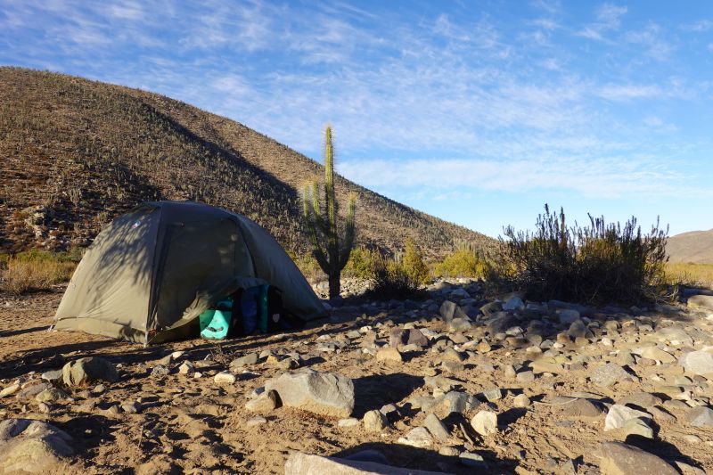
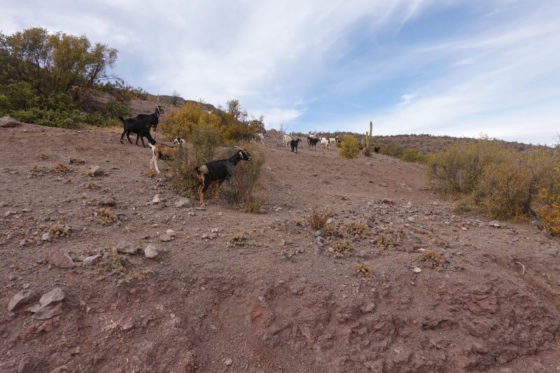
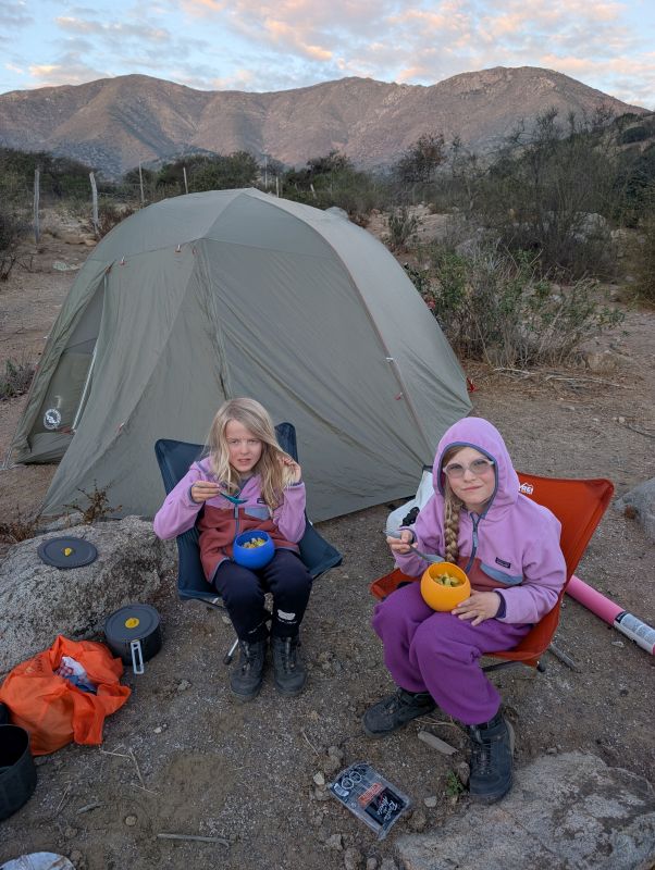
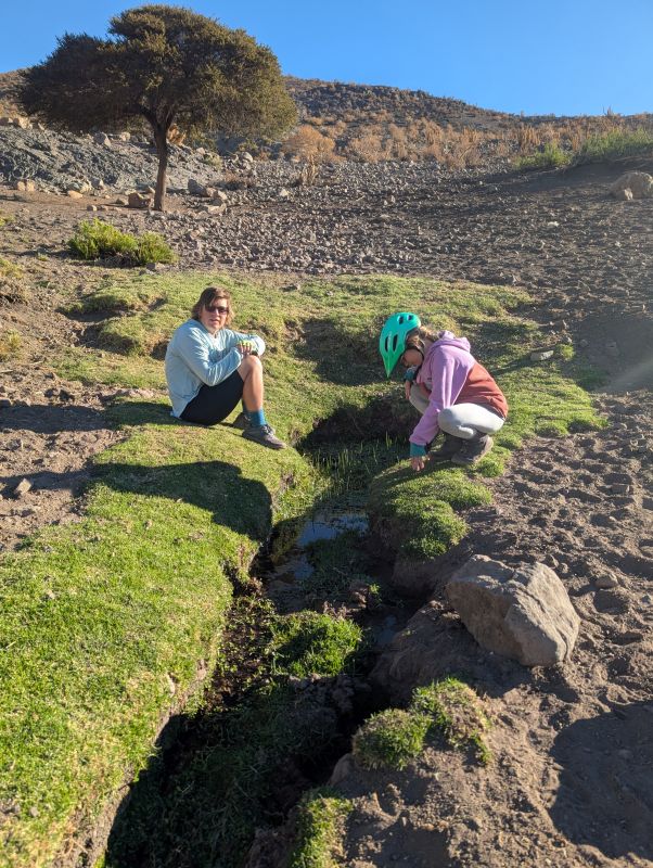
We turned off the main route near what looked like a goat herder campsite that hadn’t been used in some time. There was a pen for goats (so much goat poo!), a flat area where humans could set up tent, and a green area with trees. After inspecting the flat area and deeming it ‘good enough’ we set off to examine the green area. Anything green in the desert is exciting but this was something spectacular: a desert spring.
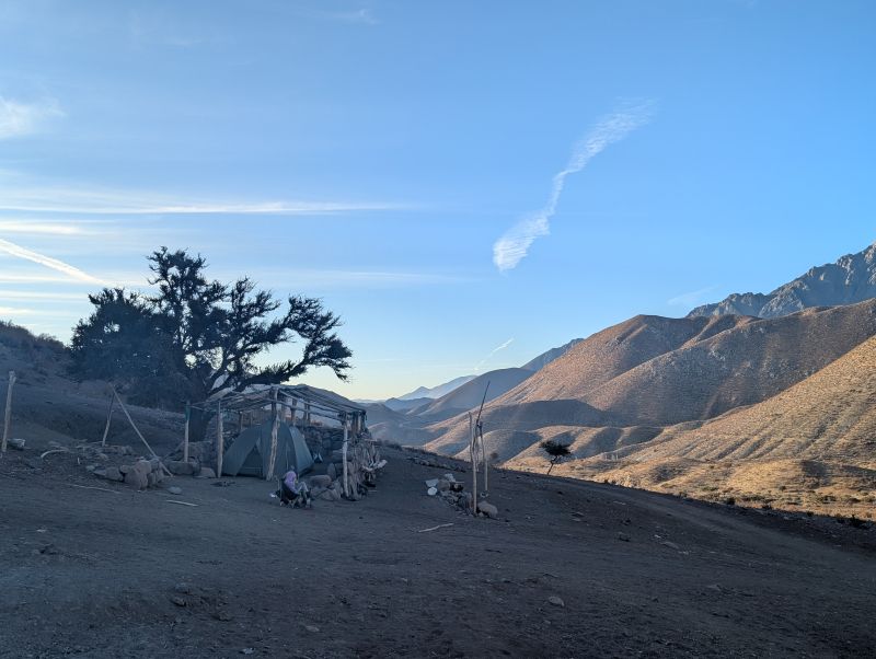
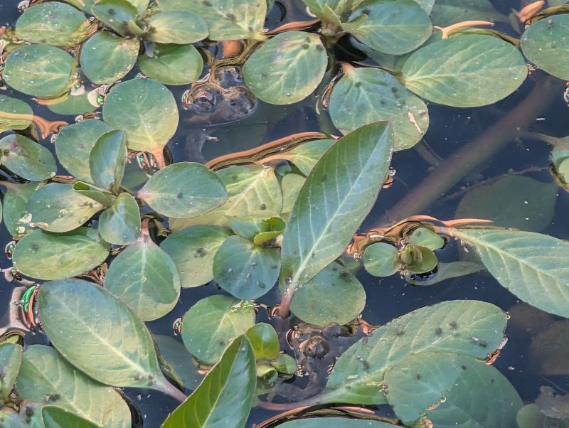
A small depression about two feet in diameter had been dug into the ground, and a trickle of water kept it full of clear water and plants. The water left the pool (very slowly) and trickled down the hillside for about twenty feet before drying up. Birds constantly came and drank from small pools in the hillside and most remarkably… the pool was full of frogs and tadpoles! We sat and marveled for a long time before setting up our camp.
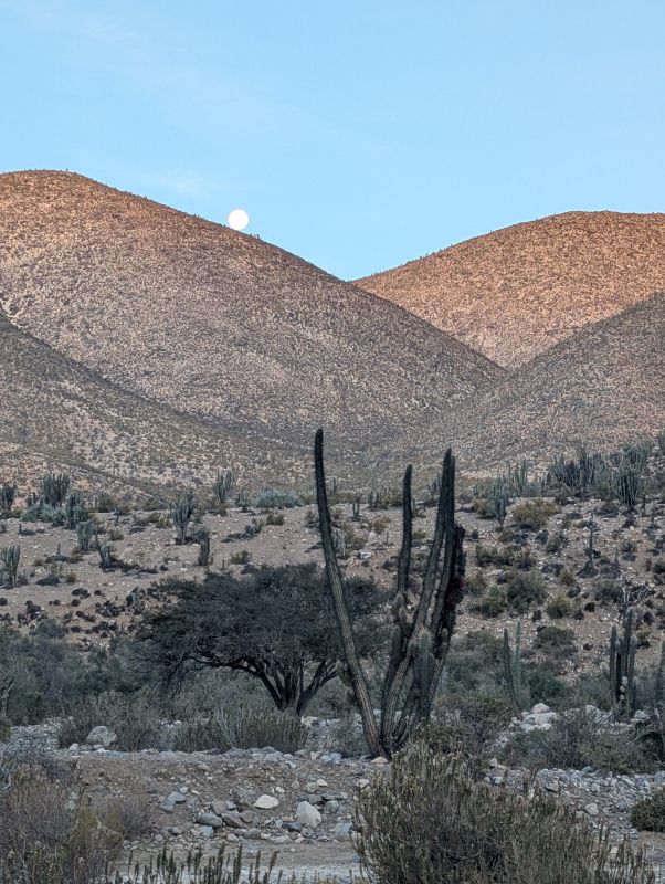
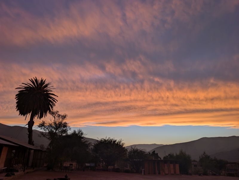
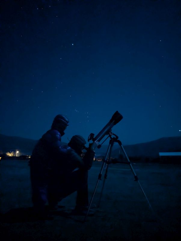
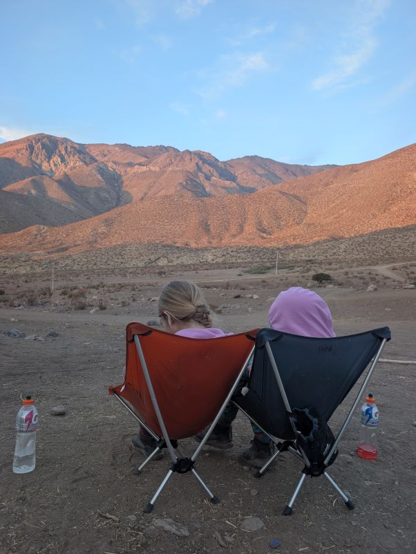
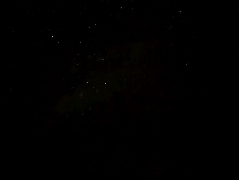
That night the stars were spectacular. There was no moon and no clouds, and because this was near the longest night of the year we could be awake to enjoy it. It was magic.
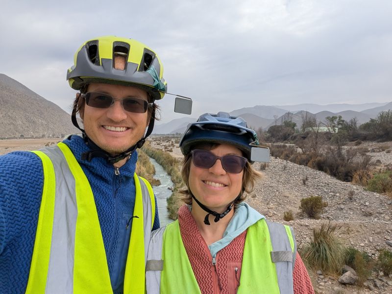
Day 156: Wild Camp to Vicuña (30 km / 19 mi)
Our goat herder camp served us well, and we had a peaceful night. It was so silent that I again thought I heard music in the distance. Unlikely though, since there was no one for many miles!
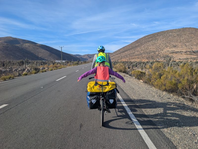
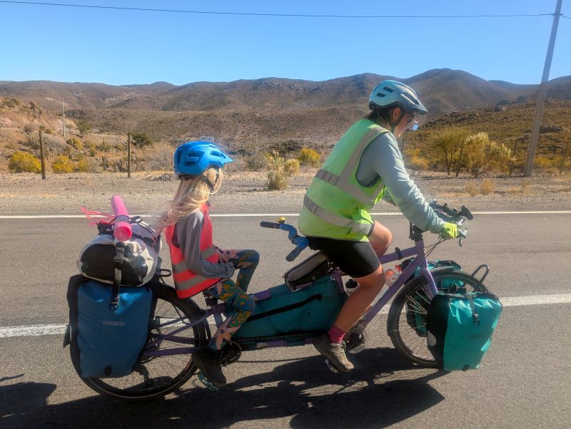
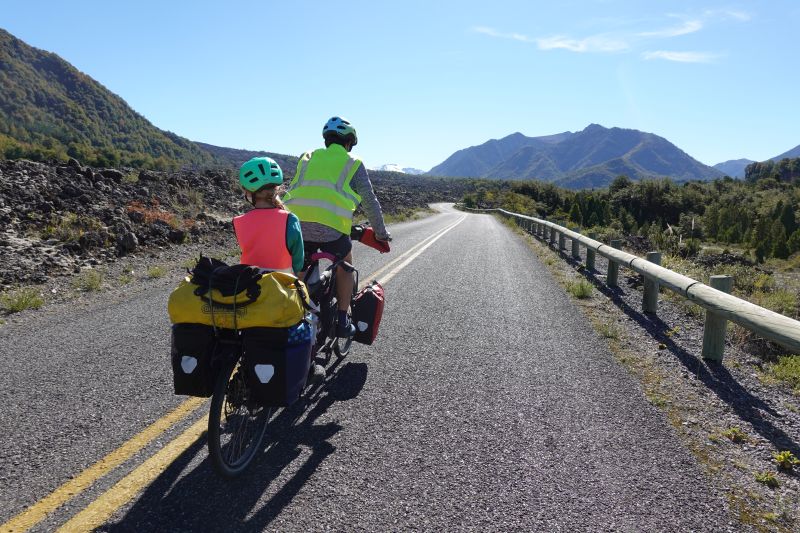
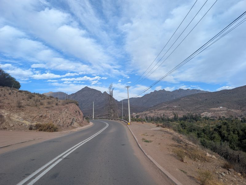
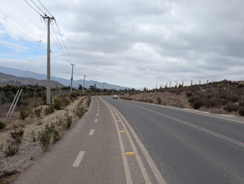
The ‘descent’ from our camp was actually quite a bit of uphill. We were all in a bit of a mood for much of it, since we knew there was pavement ahead… but not until the downhill. We passed some small settlements for shepherds and goat cheese production before reaching a high valley with vacation homes. This is also where the pavement started! And the descent!
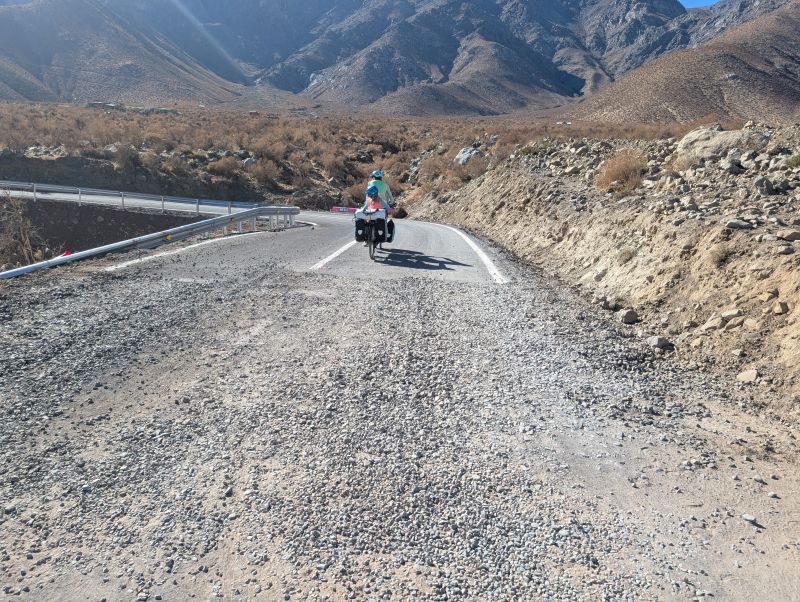
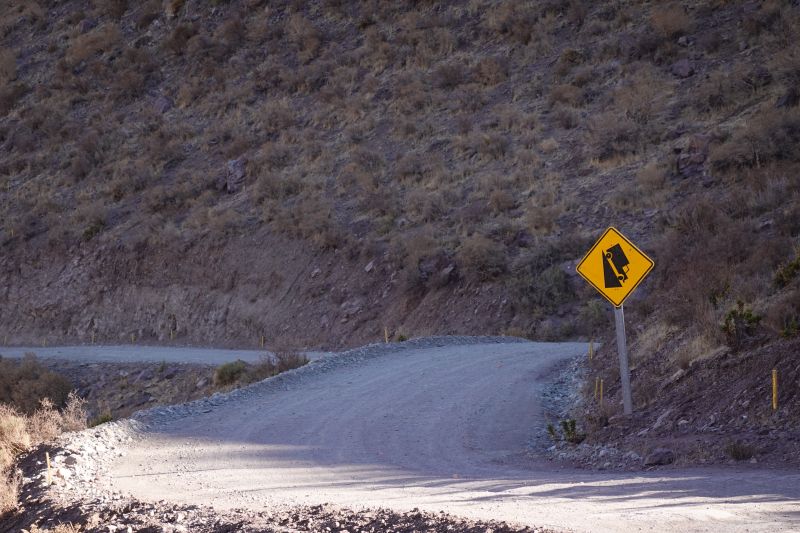
Unfortunately, the steep downhill from the previous day had served to once again warp Jason’s rotors for his disc brakes. We aren’t sure why this keeps happening, but since there are so few days of riding left we just decided to walk the very steep sections (oh my gosh the road was SO STEEP), tighten the brakes again, and finish out the ride.
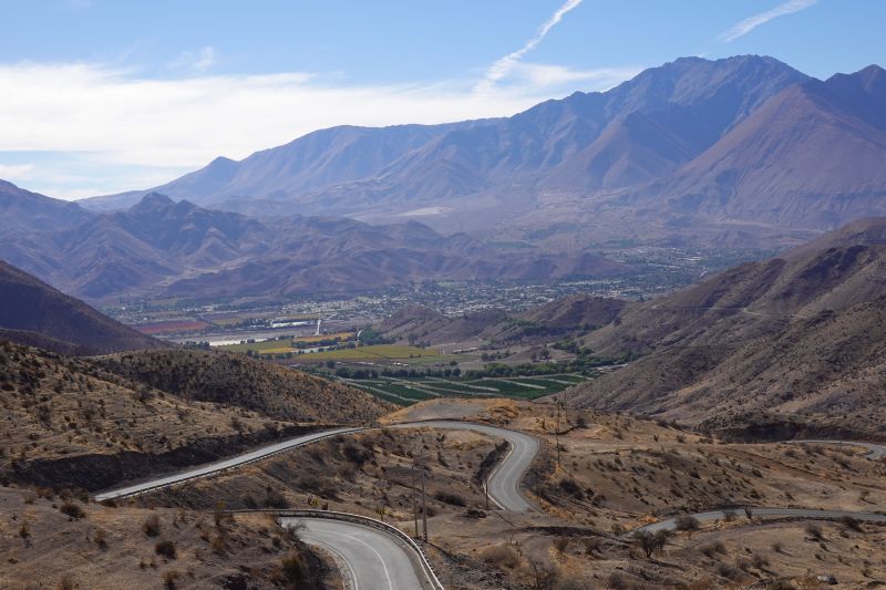
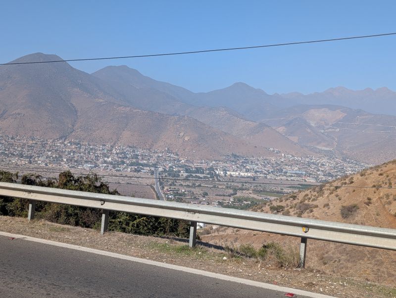
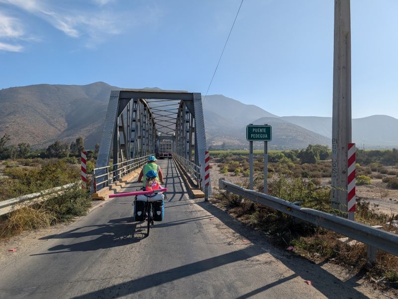
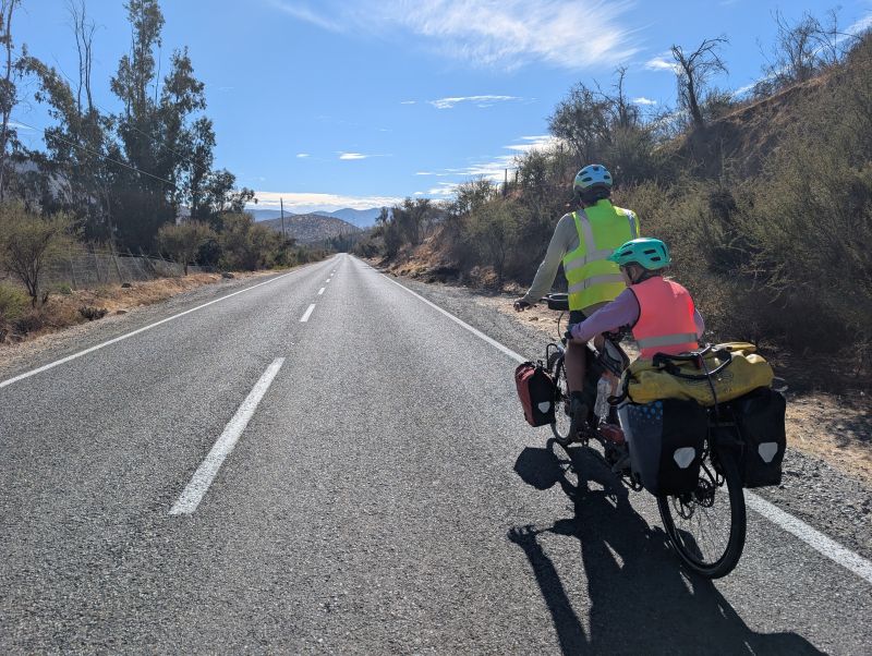
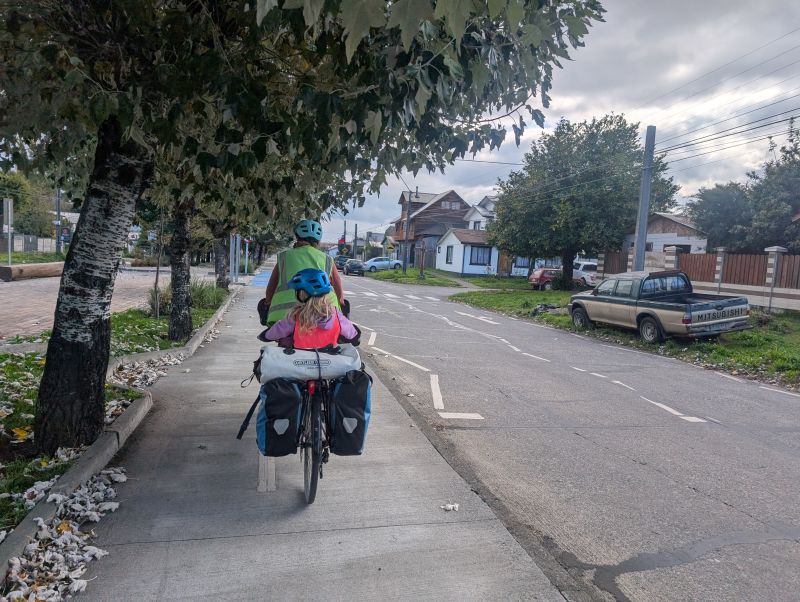
We rode past more vineyards after the too-steep descent and soon we were entering the city of Vicuña. To enter town there’s a long (half kilometer or so) one way bridge across the river Elqui. When we rode across the river was but a tiny trickle. It also wasn’t even lunch time yet.
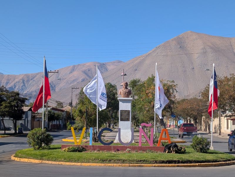
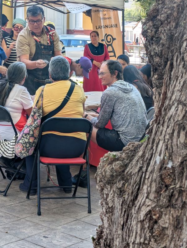
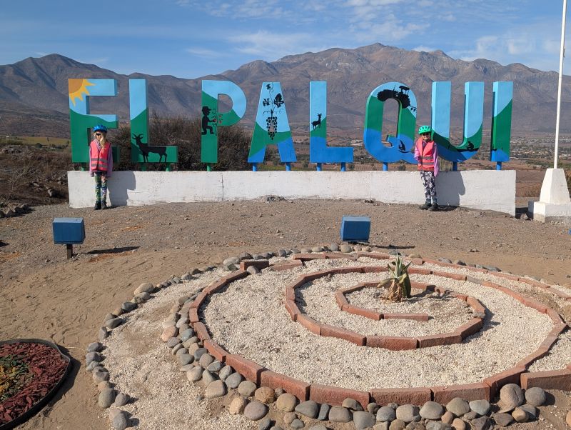
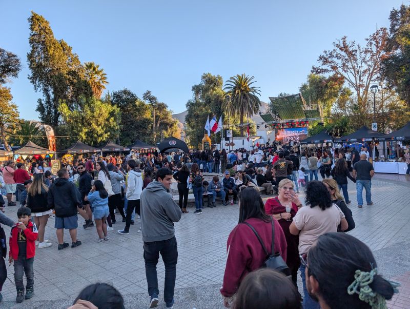
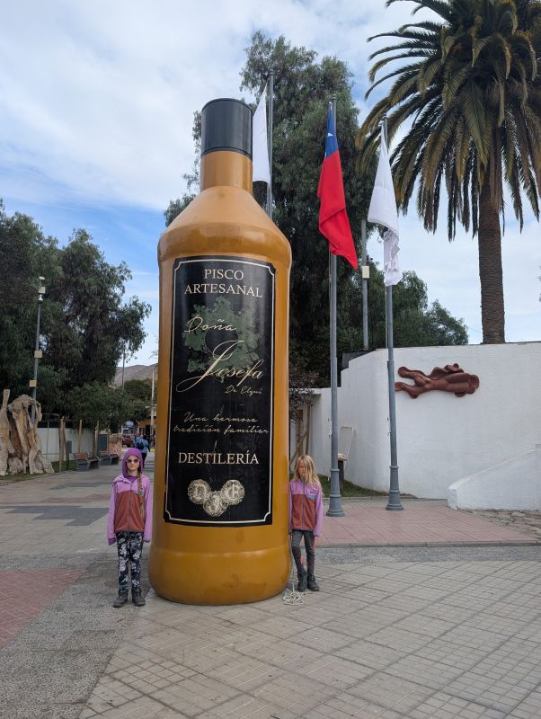
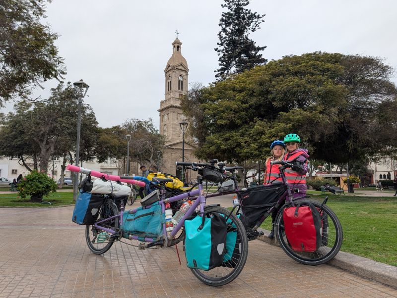
Vicuna is a truly lovely little city with a central square that happened to be having a huge party for Pisco. Pisco is a type of specialty alcohol made from the region’s grapes. Chileans love it. We wandered down the street and knocked on the door of a hostel recommended by some other travelers. It was so nice! The owner welcomed us and gave us a deal on a room for four. We were relieved to drop our stuff and go for a fancy lunch.
We ate at a nearby Peruvian restaurant, which was good since we aren’t going to make it to Peru on this trip. Jason and I loved Peru and the food there, so hopefully we will ride it again in the future.
Day 157: Rest day in Vicuna (0km)
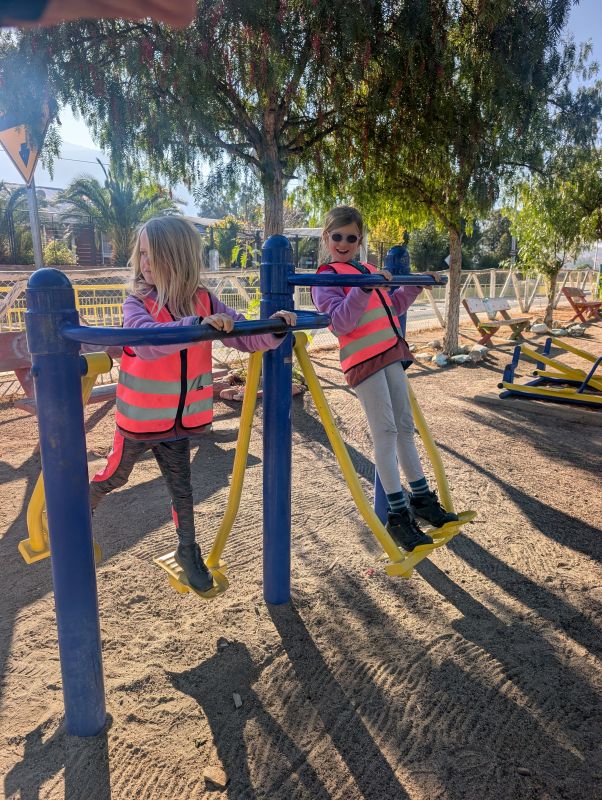
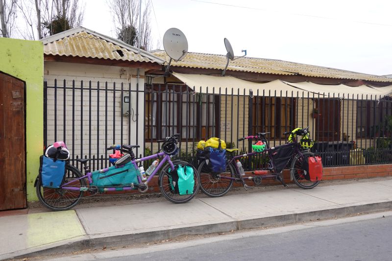
We spent this rest day doing mostly tourism and rest, with a couple chores thrown in. We tracked down some bicycle grease to fix a pretty obnoxious creak coming from Jason’s pedals. You can imagine how bad it must have been to bother fixing it for one final day of riding!
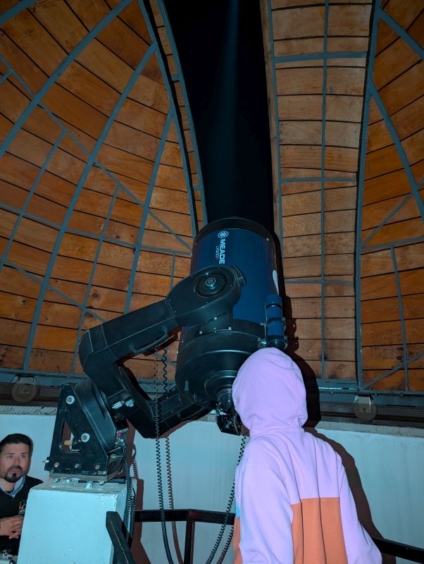
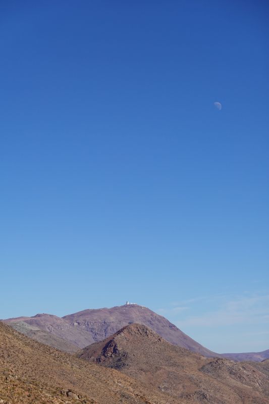
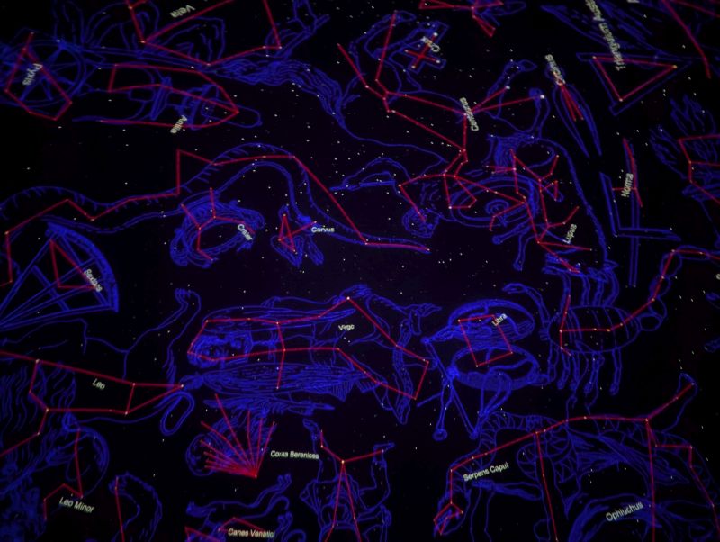
We ate at the same Peruvian restaurant again, and visited the local observatory to watch a movie in the Planetarium. The movie *almost* made us sick as it spun through the constellations! We were the only people there.
Day 158: Vicuña to La Serena (66 km / 41 mi)
Our final day of riding dawned gray and gloomy, but not rainy. We were slow getting out the door but fast once we hit the road. It helped that the route was almost entirely downhill and that the characteristic headwind for this route didn’t materialize.
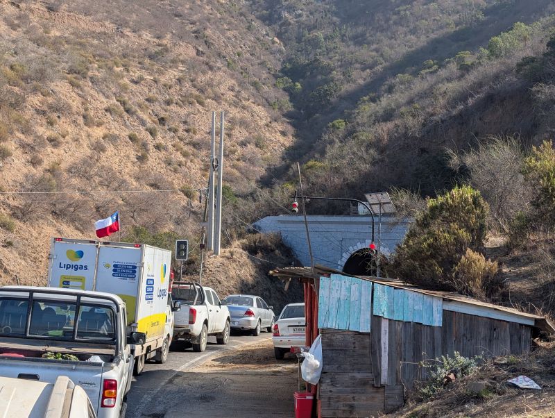
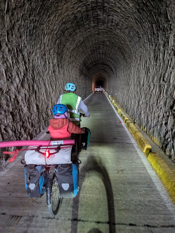
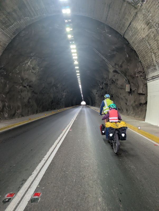
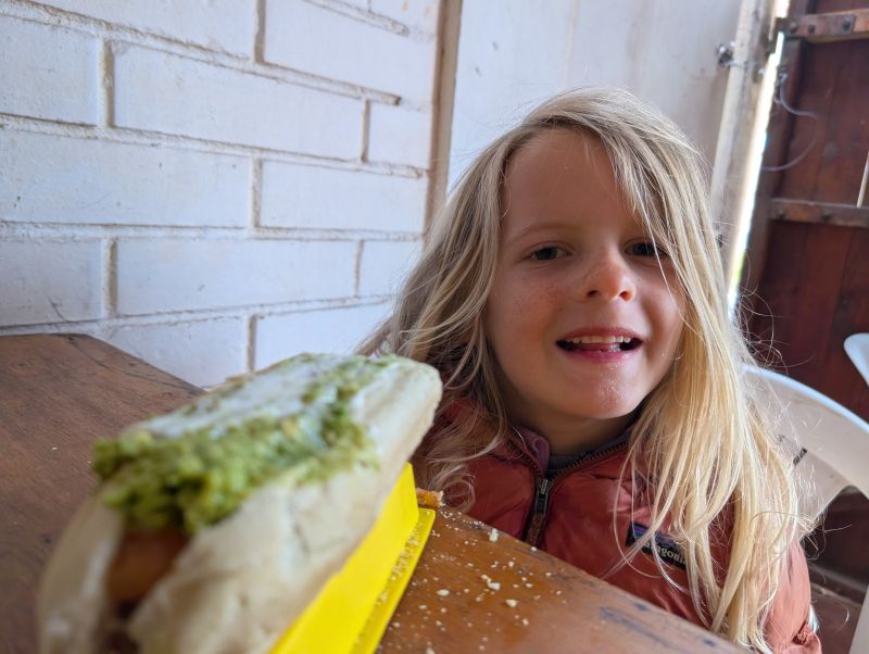
We passed a large (and depleted) reservoir, then zipped through a surprise tunnel before descending fast down the valley. As traffic picked up we took a side road that was incredibly quiet and wound through a few small towns. We stopped in one of these for a lunch of completos at a small roadside restaurant/food stand. We laughed when the cook/owner was explaining to her patrons that she usually offers fish but she doesn’t know where the fish guy ended up. Of course, she didn’t bother to remove ‘fish’ as an option from her daily menu which was written in chalk.
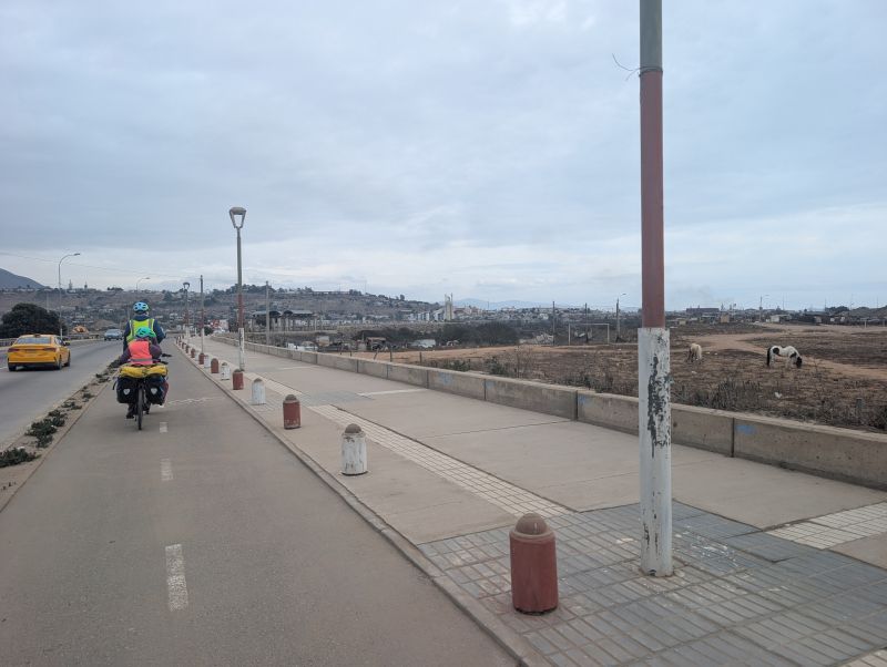
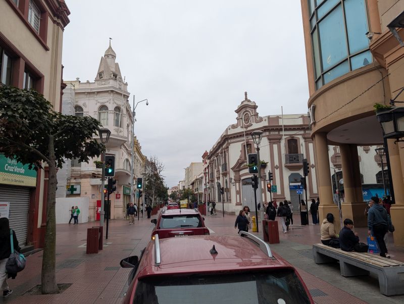
The final approach to La Serena was a bit chilly and gloomy. It didn’t really feel like a celebration, which was ok. We rode past some very depressed areas, over a long bridge, and were spat out near old town. We went to the central plaza for some photos (kids only went because we forced them), then checked into our airbnb.
Jason and I immediately set to work finding a bike shop to pack up our bikes. After six months, we wanted to pay someone to pack them up. We were tired. The smaller local shops in old town didn’t have boxes, so we set out for a bigger bike shop across town. They had the ability to pack up the bikes, but no boxes. They doubted that we would find any boxes, but we found some within a half hour at another shop nearby!
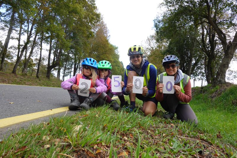
After delivering both the bikes and the boxes at the shop, Jason and I took an Uber back to the girls. Without having our bikes in Chile it felt like we were naked. We had finished our Chilean cycletour – both a huge accomplishment and just another day. The total was 4,230km ridden.