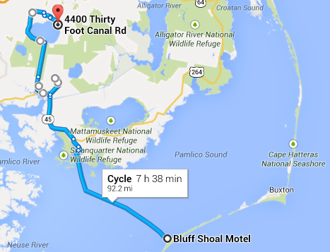
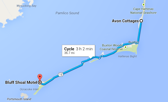
Loop through the Outer Banks of NC; 6 days of riding; 285 mi (460 km)
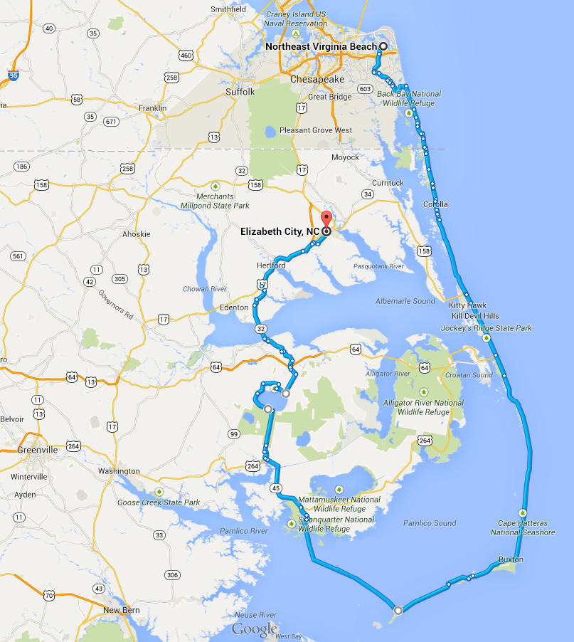
Bicycle route through the Outer Banks of NC
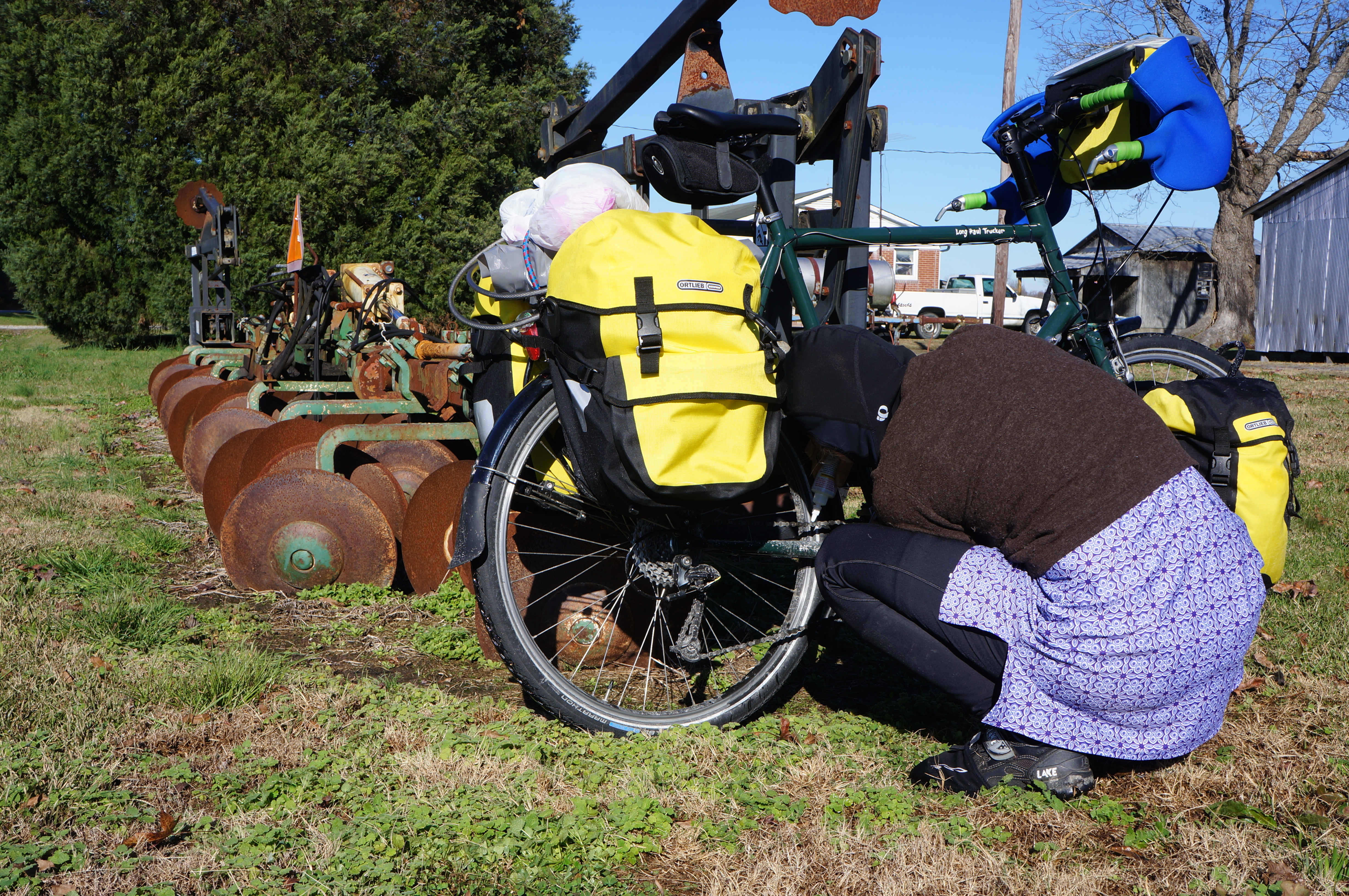
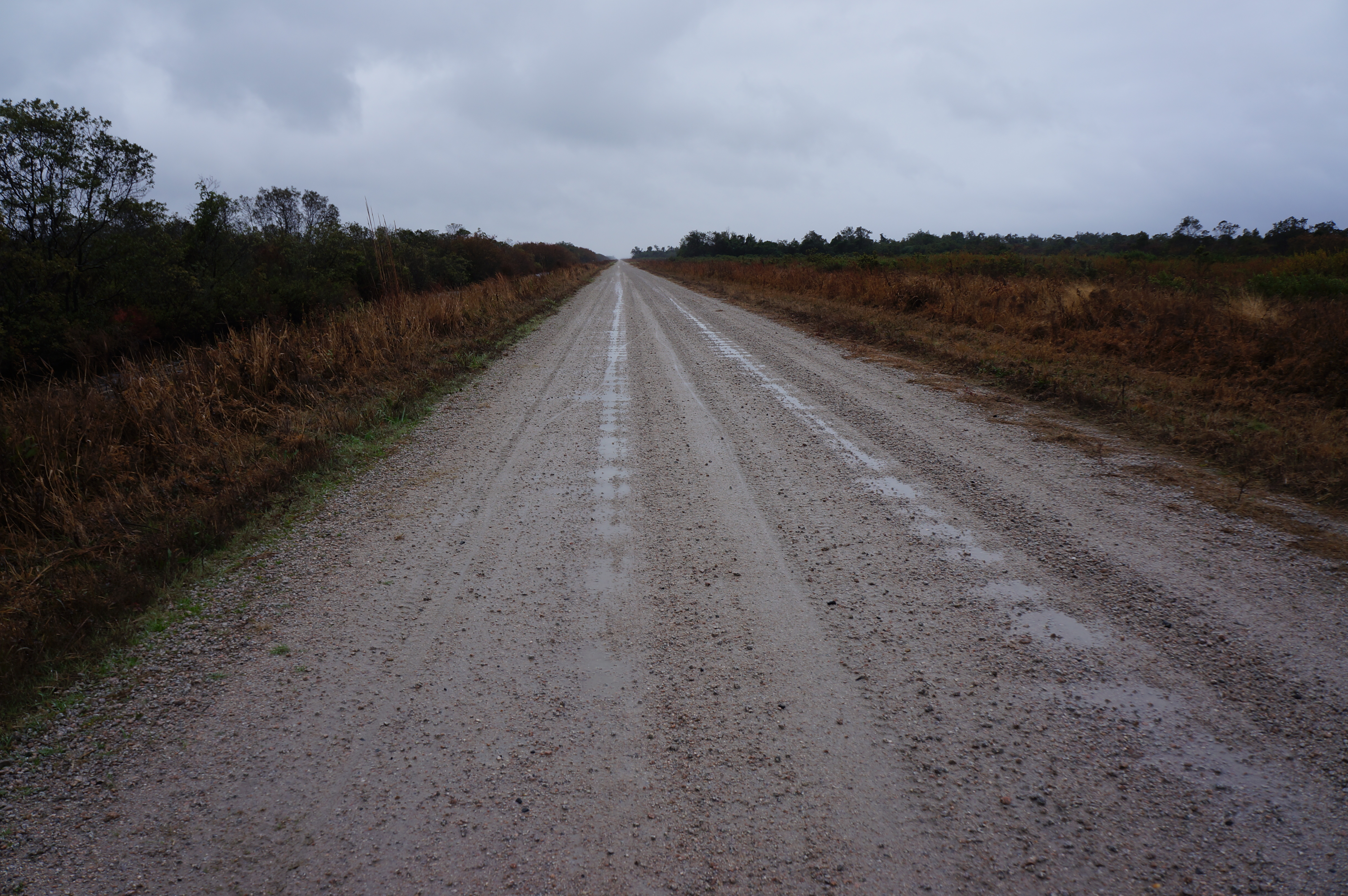
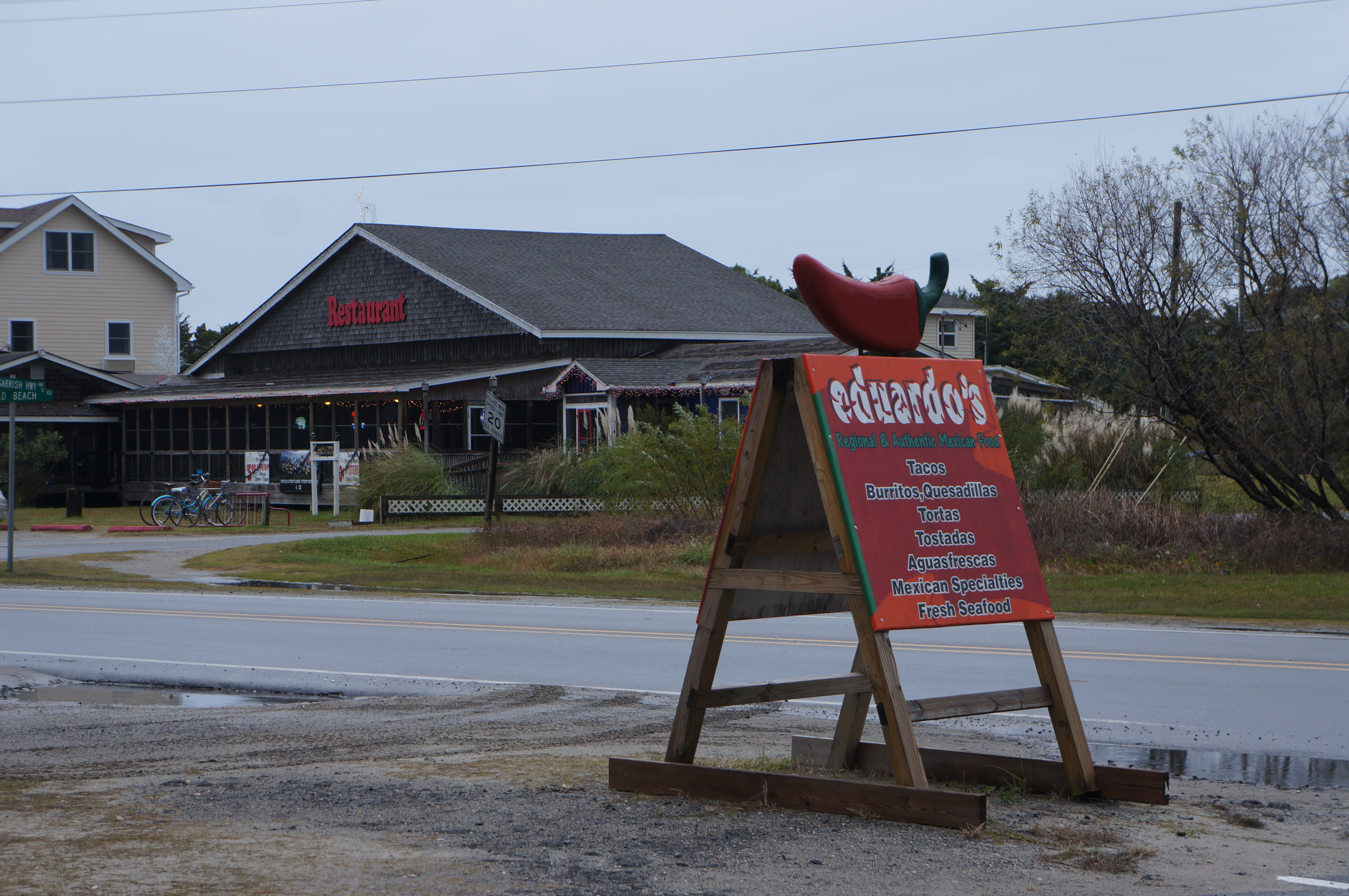
The trip was a resounding success! We had a great time, our bikes worked well, and we had enough warm gear to keep us going. We saw some awesome sights, including lighthouses and the Wright Brothers National Memorial. And we had quite a few adventures, like getting picked up by the Currituck Sheriff on the beach highway, the Sisyphean sand plows, and the (almost) never-ending muddy wildlife refuge road.
We knew we needed to head south from PA if we were going to have a pleasant bicycle tour in late November, but we were a little surprised by how cold the weather actually was in the outer banks!
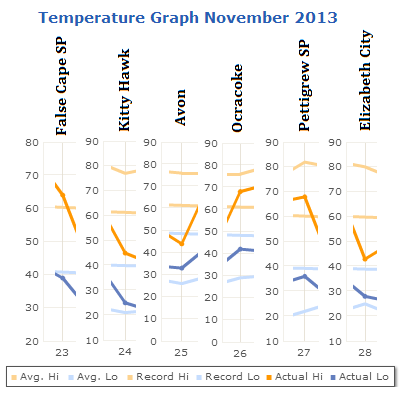
Daily temperatures on our trip – colder than average!
On half of the days, the daily high was actually close to or below the average low. Brrr. But this ended up being useful, in the fact that we could test our cold-weather gear. We wanted to do this anyway, since we are planning to start in Alaska in May, and depending on the year it is chilly. We learned that we have enough warm things for our cores, but could definitely use a few items…
#1: Thin wool gloves – Our hands were warm inside the bar mitts, but wool gloves would have been better for wet conditions
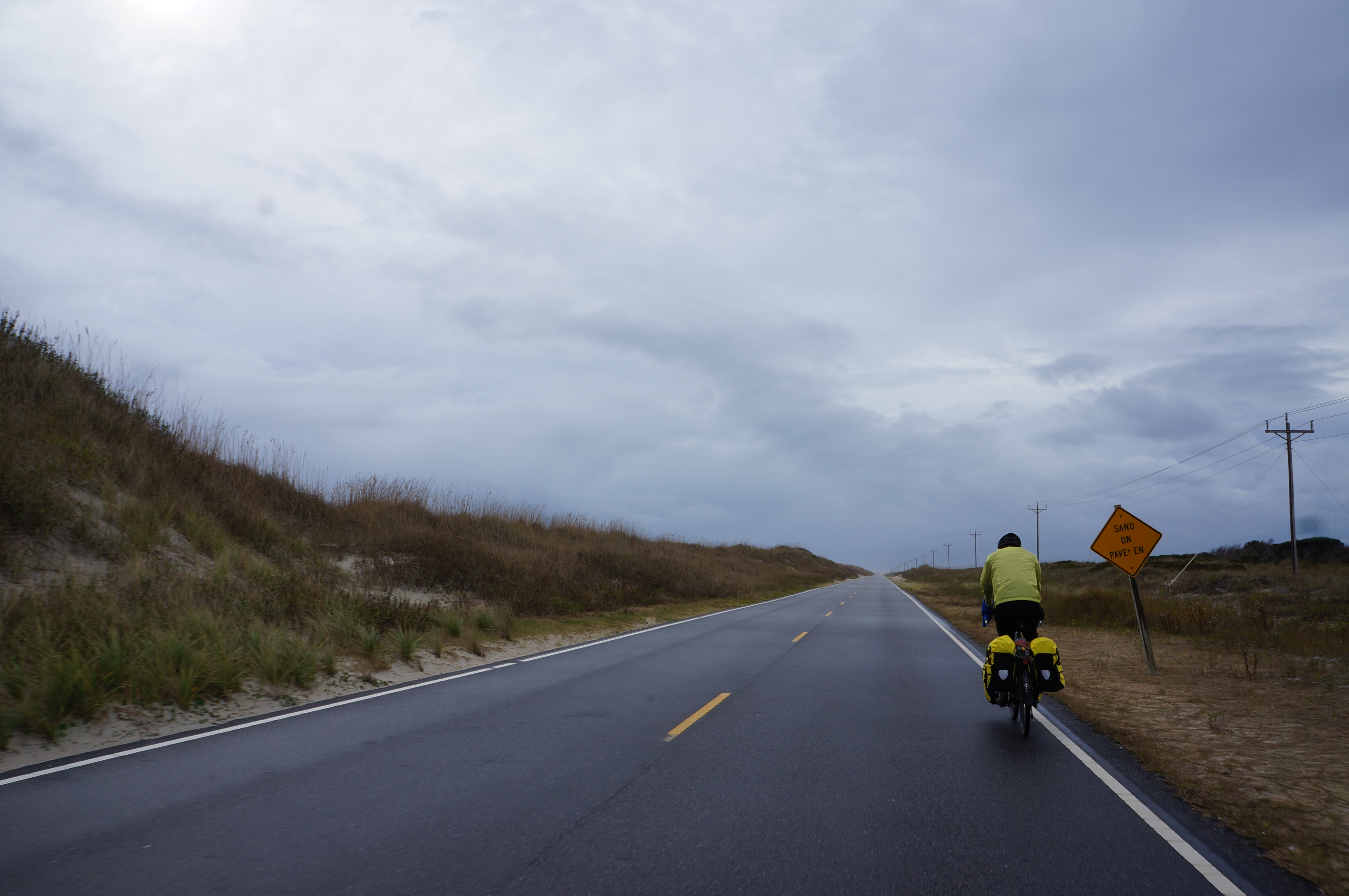
#2: Neoprene booties – Our rain covers for our shoes did not hold up, and once our socks got wet our feet got cold. Good booties could remedy this problem by keeping out the cold and wind.
#3: Warm waterproof hiking boots – Our SPD-style riding shoes are actually summer shoes with a lot of mesh for breatheability and contain vents in the bottoms. These vents were great at letting in water! So, for those days that are both quite cold and really wet having some hiking boots would be great to keep our feet both dry and warm. Also, it would give us an extra pair of shoes when one is wet, and for hiking in general.
#4: Flat pedal attachments – We’ll need some pedal attachments to allow use of “normal” shoes if we wear our hiking boots when riding.
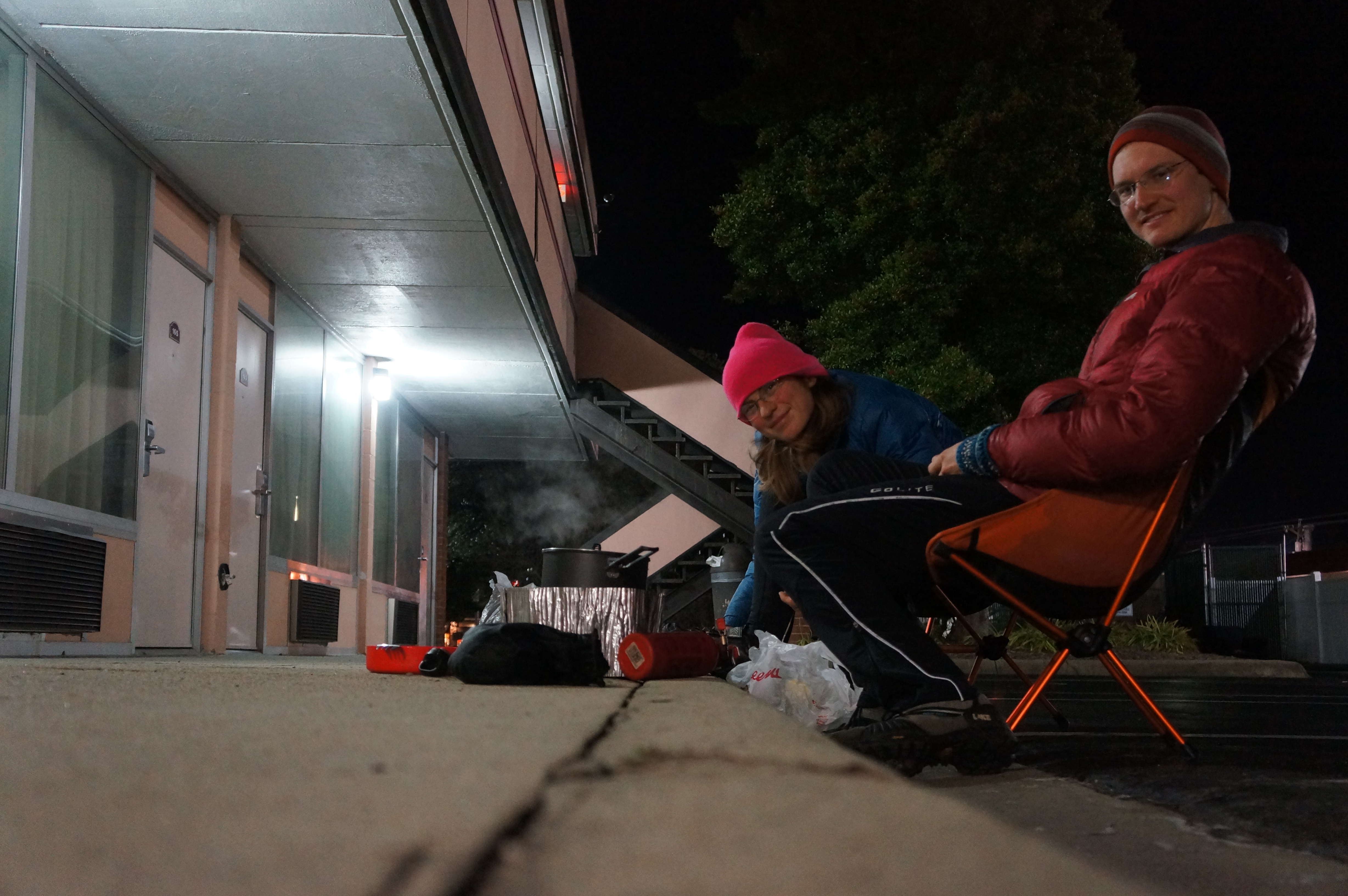
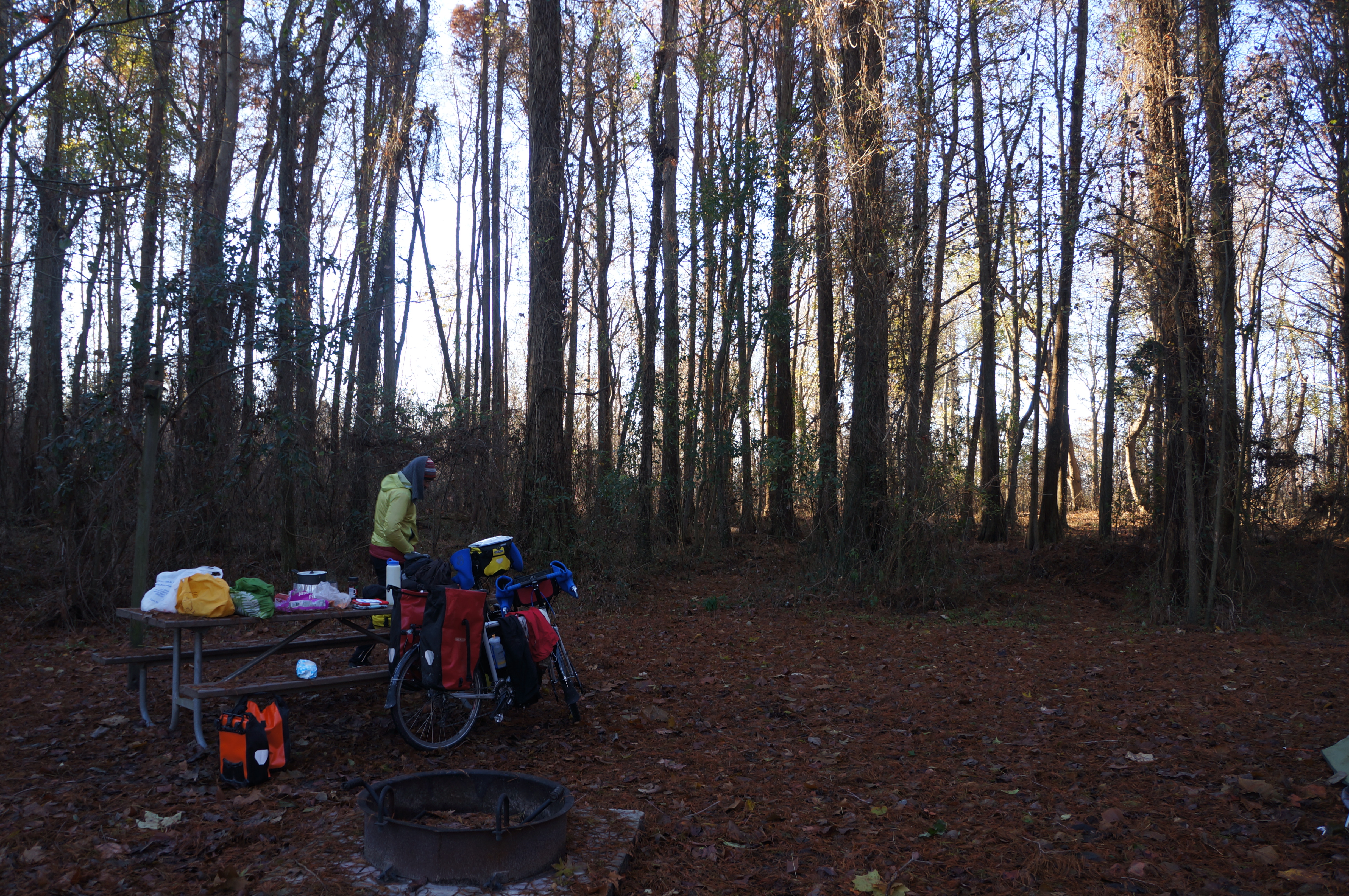
In other lessons learned… we definitely will be more careful with our use of Google Maps! There are a lot of roads on map services (and in GPSs) that are not very driveable – or rideable). This makes more of a difference when the road turns muddy, and the winter days are short. Speaking of which, this was our first winter-season tour, and we were caught off guard by how early it got dark! If we weren’t set up to camp by 4:30 or so we were in for a cold dinner — at around 5 PM it got dark.
The final lesson was that we need to get used to our new bicycles and the riding postures. I (Jason) started having knee pain part way through the trip, and it got so bad I couldn’t finish the ride back to Virginia Beach on the last day. We think it was brought on by a change in riding posture – our new bikes are set up to focus on the hamstring muscle group and pulling, as opposed to the quads and pushing – in combination with a lot of hard mashing into the wind. My knee is doing much better now, though, and this is good, since I commute via bicycle to work every day.
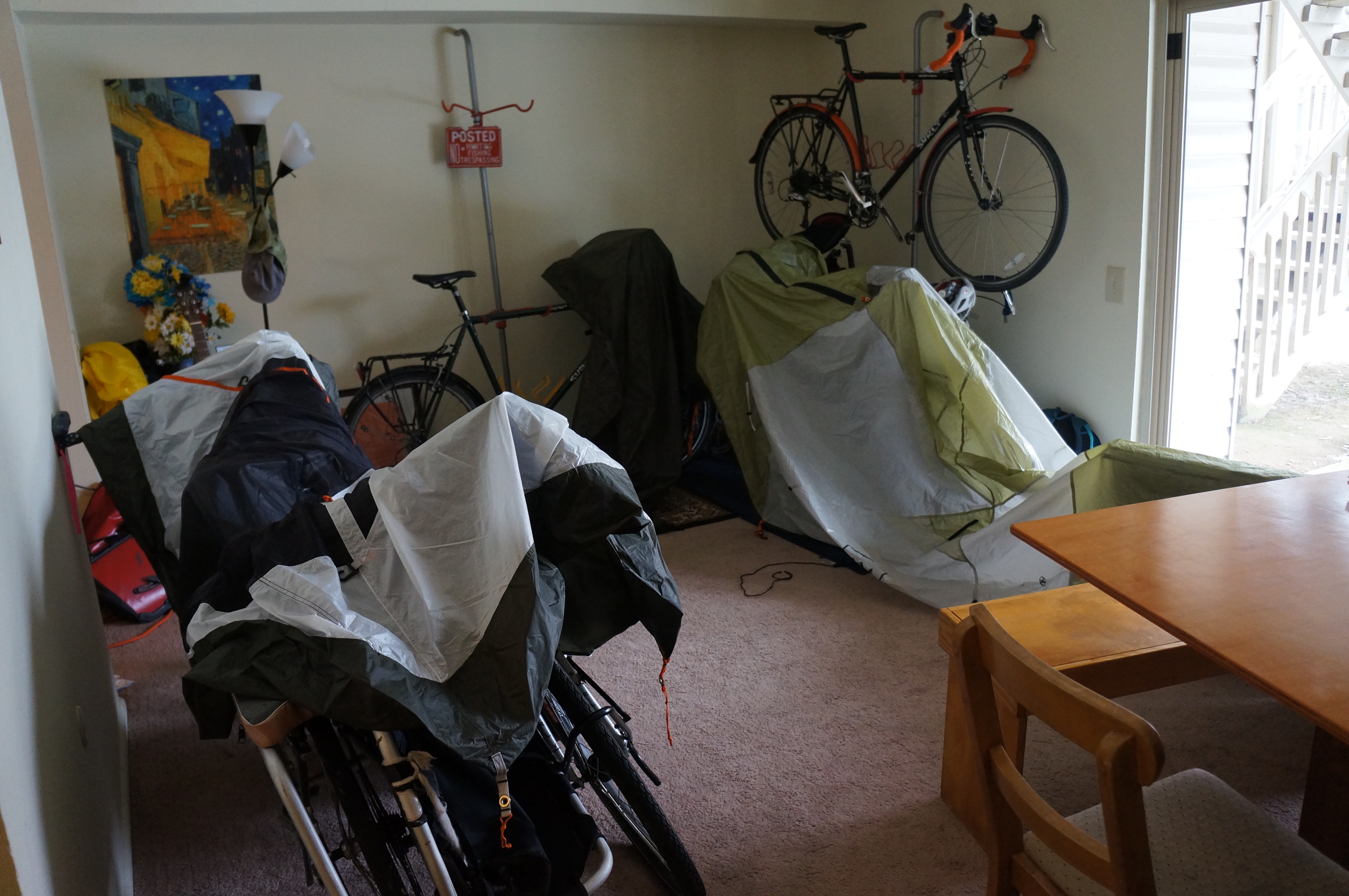
Drying the tent and rain fly after returning home.