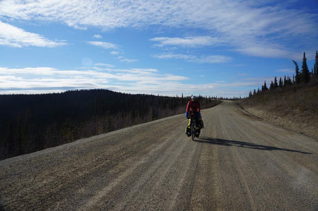
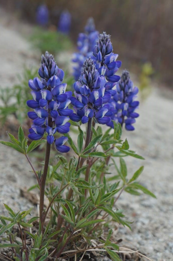
There are 333 miles between Dawson City and Whitehorse, which translates to five and a half days of riding through isolated, forested terrain. It was beautiful, and long, and almost always daylight. We saw ground squirrels, a fox, and a grizzly bear. We spent three nights camping next to the road, hidden in little pockets out of the view of drivers, and two nights in lovely Yukon government campgrounds. Now we are resting for a few days in Whitehorse, and staying with a friend I (Daisy) made on my last trip through the area nearly four years ago.
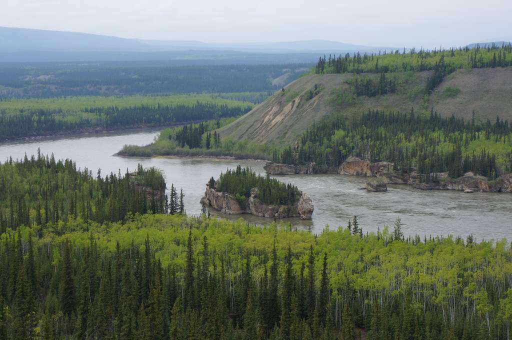
The 5-Finger rapids on the Yukon River.
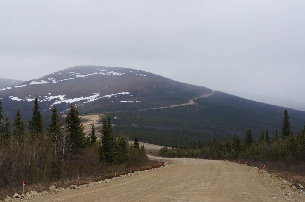
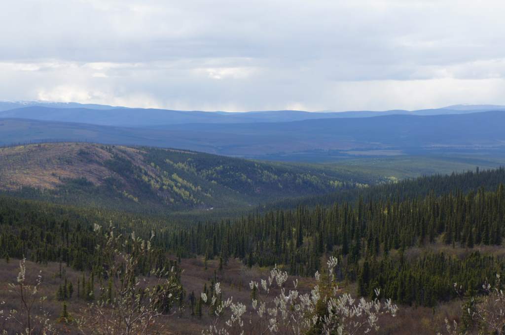
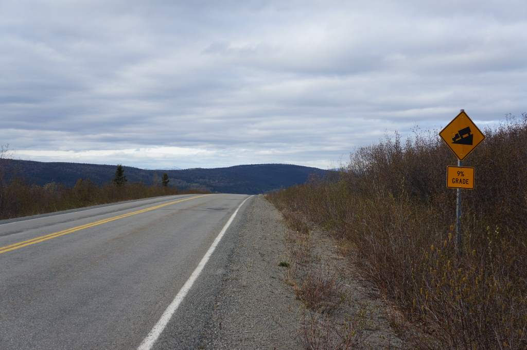
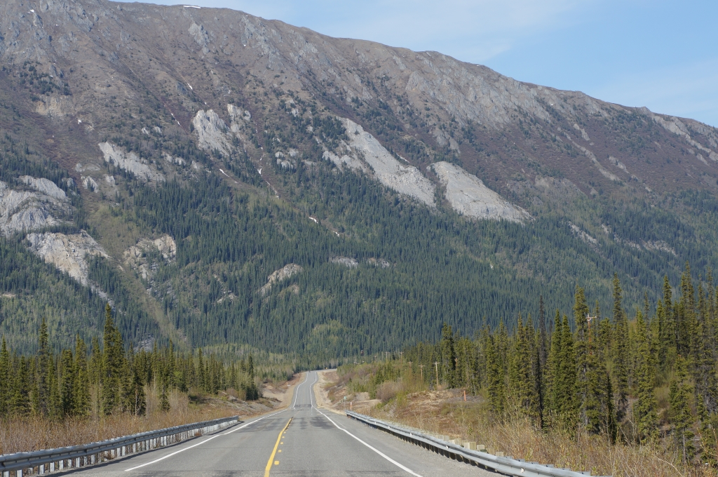
This part of our trip is challenging: we must plan for long stretches between grocery stores, and spend many hours pedaling through scenery that is vast and very slowly changing. At times, it is psychologically tiring, particularly when the road is straight for miles at a time with strong headwinds! I will give you the highlights in this post.
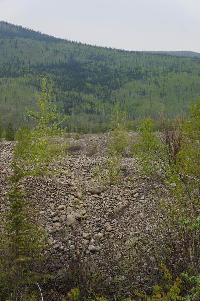
Tailings cover the entire valley as you leave Dawson City.
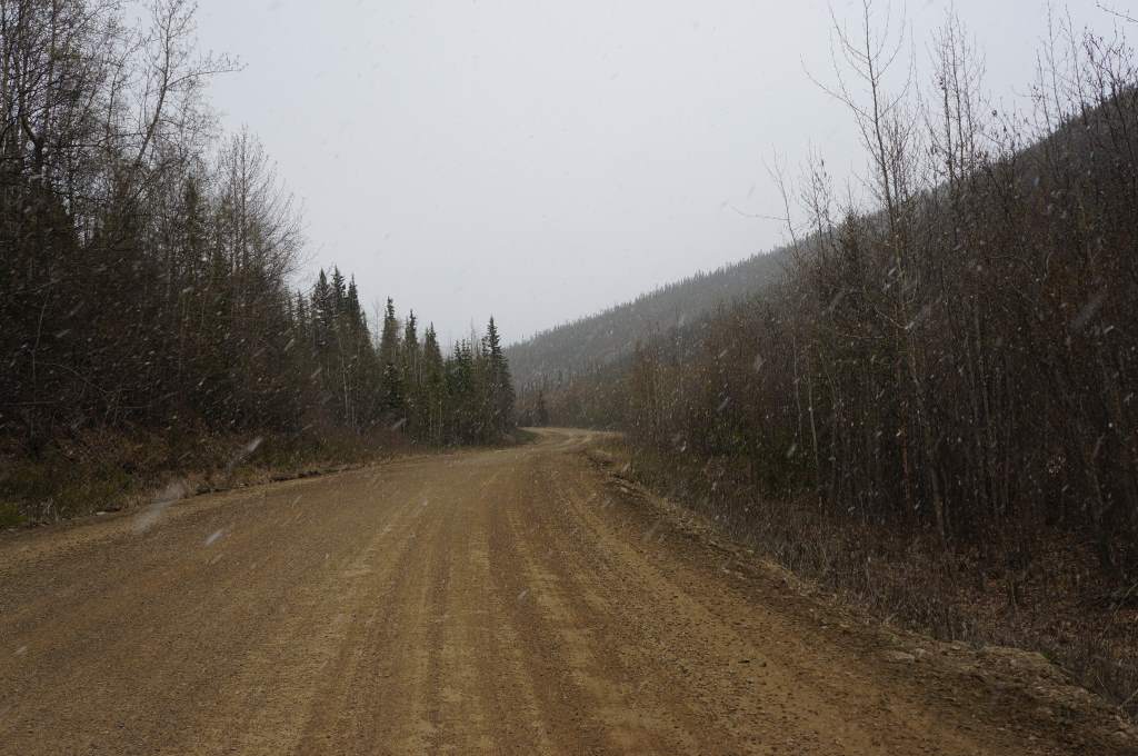
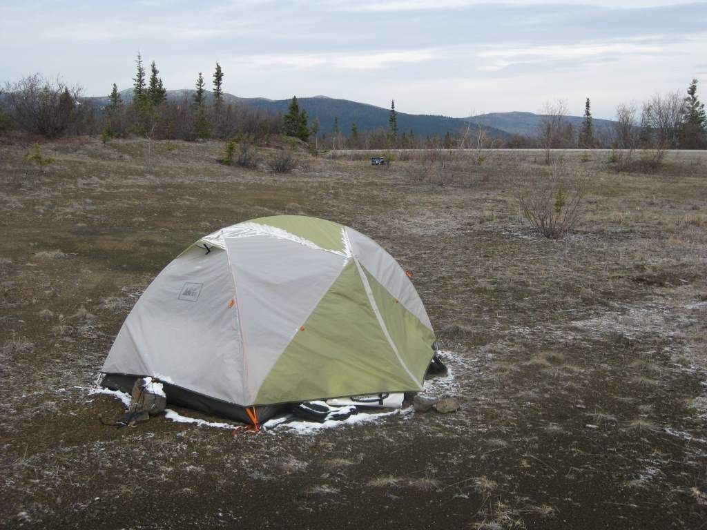
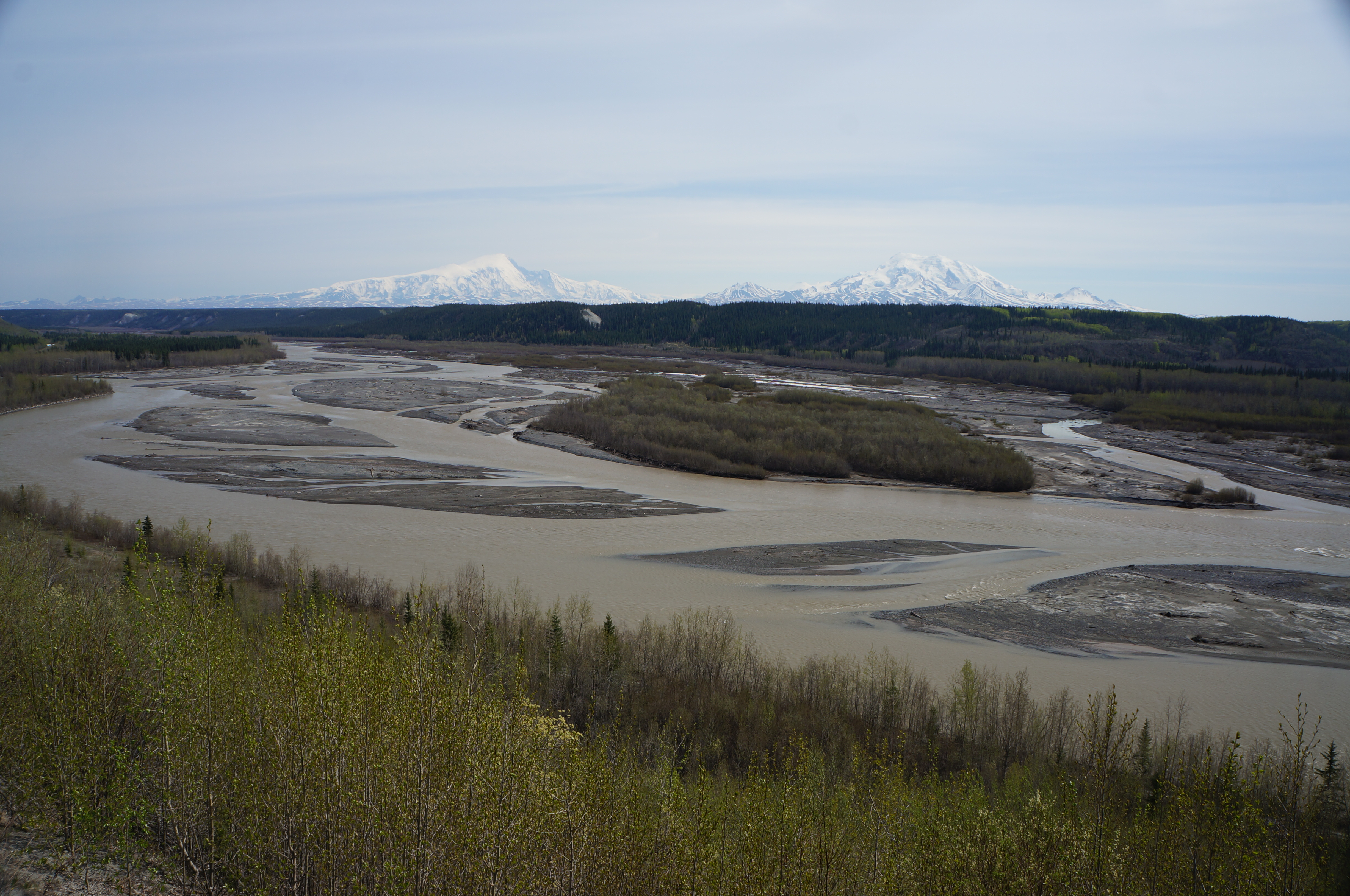
Outside of Dawson City we rode through miles and miles of ‘tailings’, the giant piles of rock that were left over after the massive dredges finished digging up the rivers in search of gold. It is absolutely remarkable how we humans have changed the landscape, even in these remote areas. The first day of riding south was good to us – there was a strong enough tailwind that we didn’t even mind the rain that blew over us. We rode through miles of forests, and spent our fist night camping near a gravel pile. It was actually very nice!

Gravel pile campsite. Not bad!
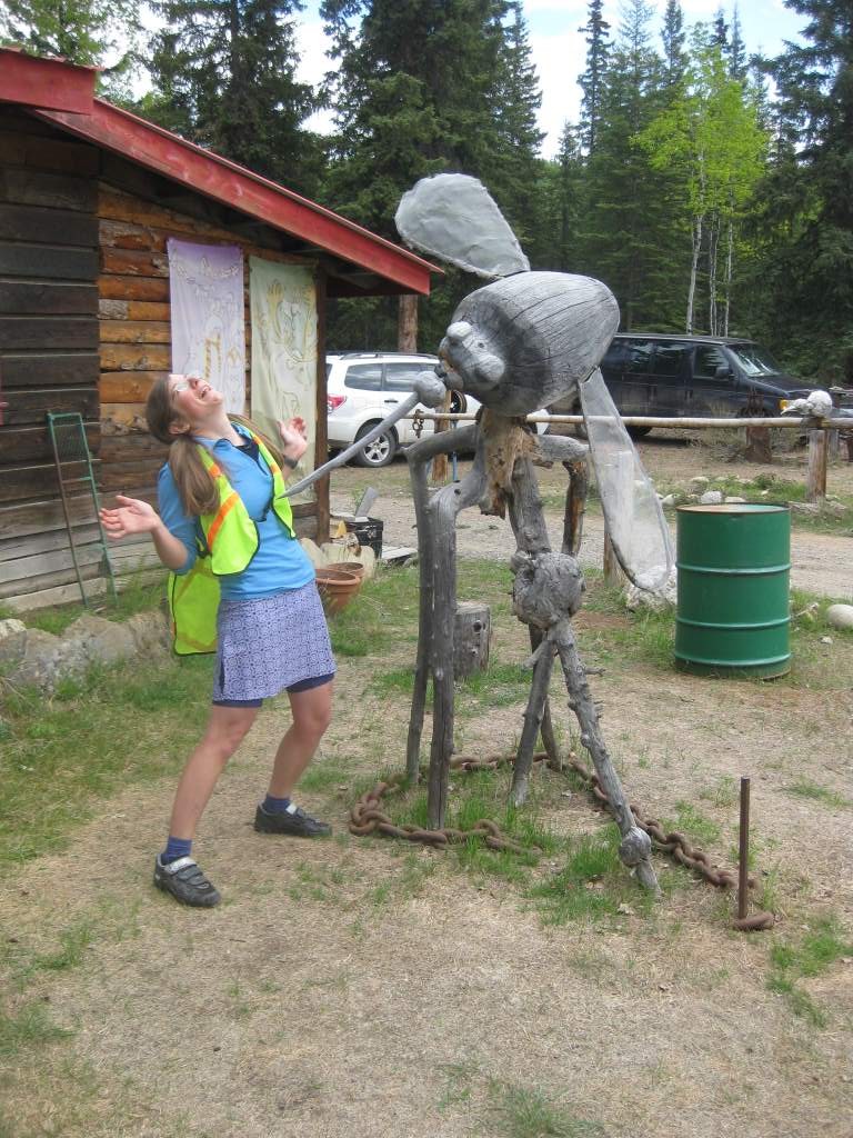
Daisy and the largest mosquito we’ve ever seen!
We kept riding and riding, and finally found a little outpost of humanity in the quirky Moose Creek Lodge, where we also had our first experience with a tour bus full of folks. It was a big group from New Zealand milling around this funny little spot full of moose antlers, funny sculptures, and baked snacks. We ate some, filled up water, and kept riding until we found another hidden spot to sleep near the road.
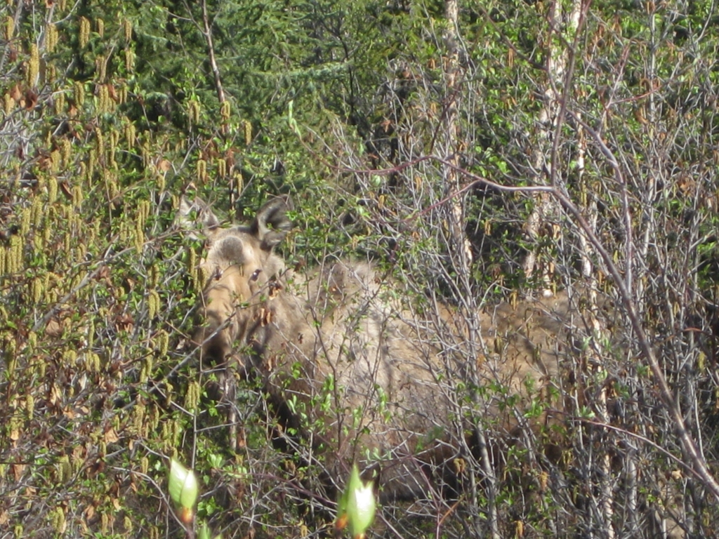
The weather really began to get warm our third day out of Dawson, and we rode in short sleeves and shorts. The bugs are out too, and we started to get many many mosquito bites. I even got bites on my rear while sitting in a camp chair. Those little things are vicious. Just as we were getting ready to find camp this third day we head a crash in the woods next to us and both looked in time to see the back end of a grizzly bear, running quickly away from us. Of course, we decided to ride a little farther before making camp! Don’t worry, we take basic bear precautions and always cook far far from camp (like 10 miles), and store our food away from where we sleep too. I always cuddle the bear spray.
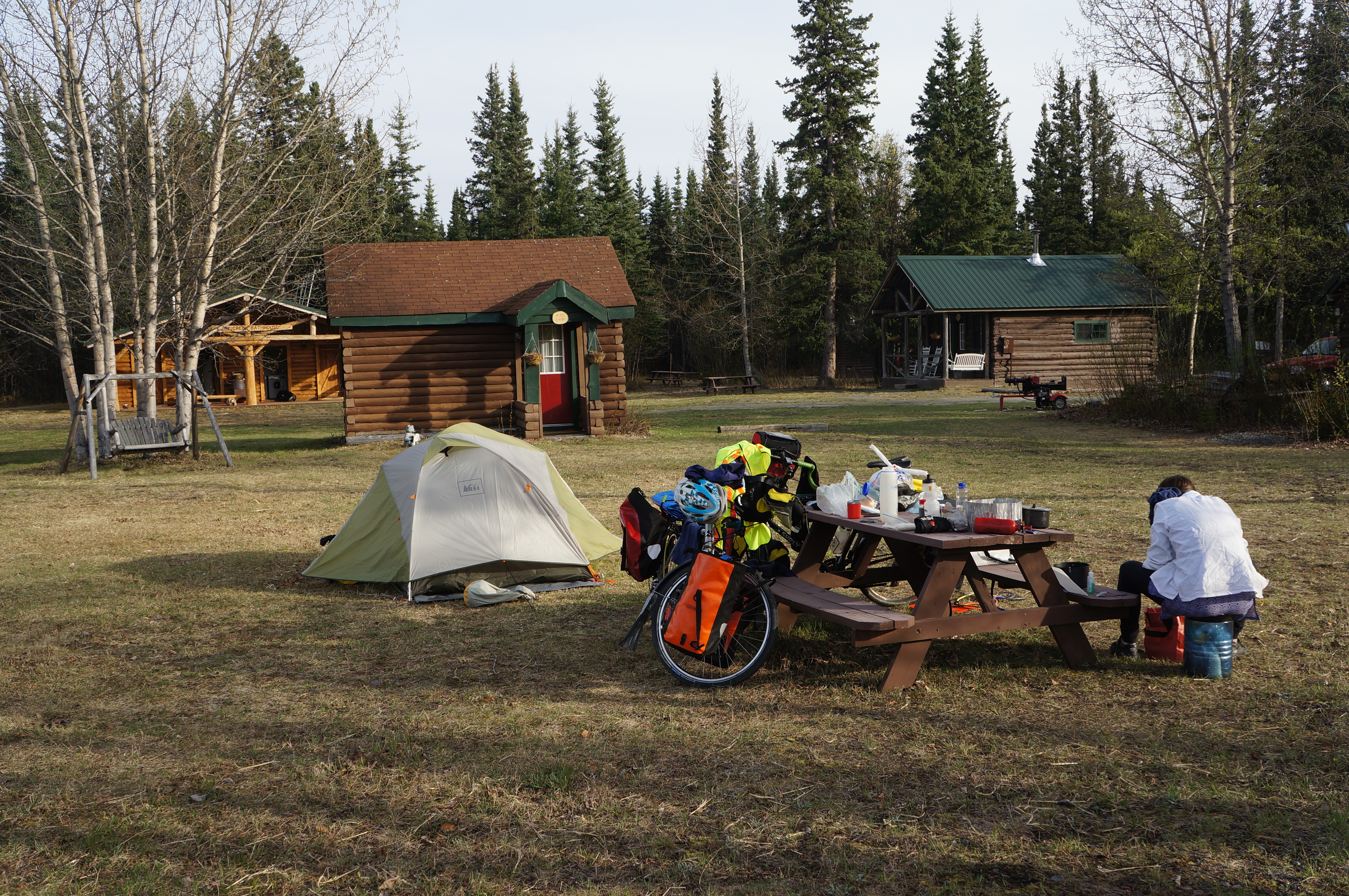
Our first glimpse of people and services again was in Carmacks on our fourth day out, where there was a wonderful grocery store with divine Nanaimo bars. We also met a fellow who had ridden from there to Guatemala and back. We spent far too long eating snacks and chips and cookies outside the grocery store, before carrying on to Twin Lakes: a lovely campground on the shore of a clear lake. We even waded in and splashed water on our tired, dirty arms and legs. What a treat!
Twin Lakes – just beautiful.
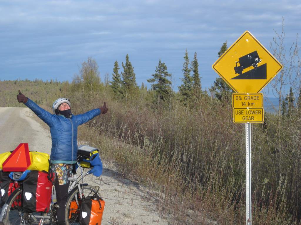
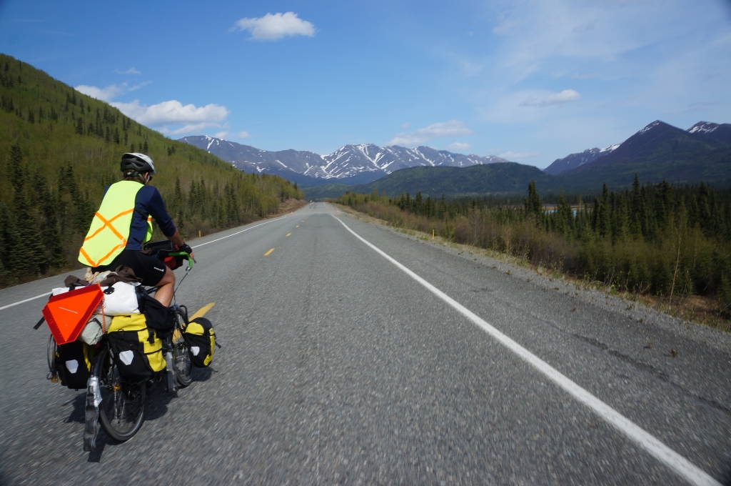
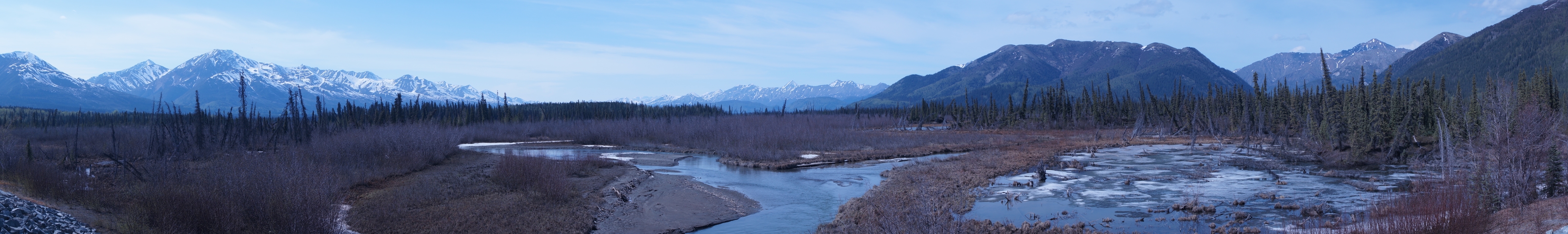
The scenery began to get fantastic the last two days before Whitehorse, and we had the sense that we were experiencing bike touring at its best. The valleys, rivers, and lakes next to us seemed almost prehistoric in their beauty, and I half expected to see Jurrasic animals loping across them. We made good time and loved watching the hills and mountains pass by us. We also loved stopping at a lodge for a meal-sized cinnamon bun. Yum! We actually didn’t even need lunch that day.
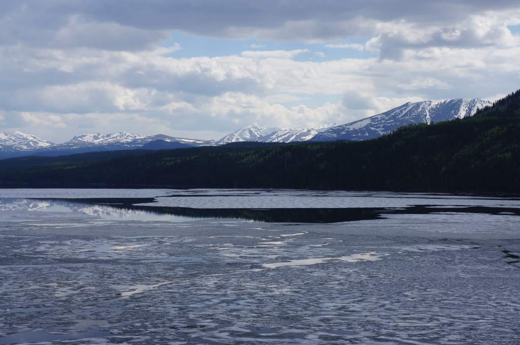
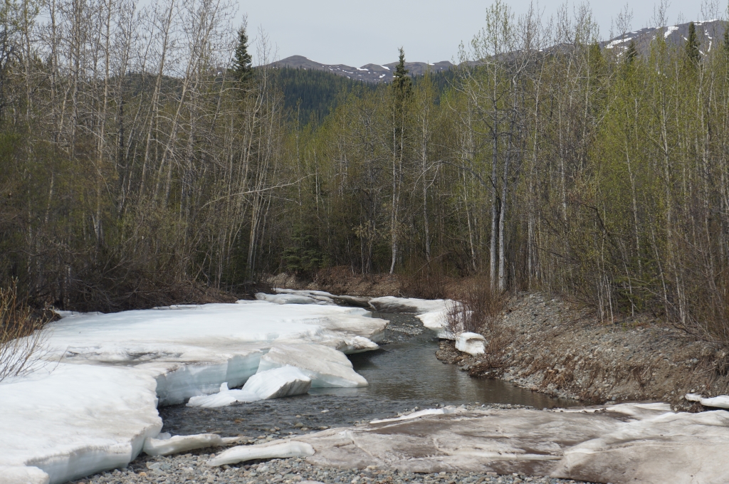
Fox Lake with partial ice cover. It was noticeably more chilly near the water.
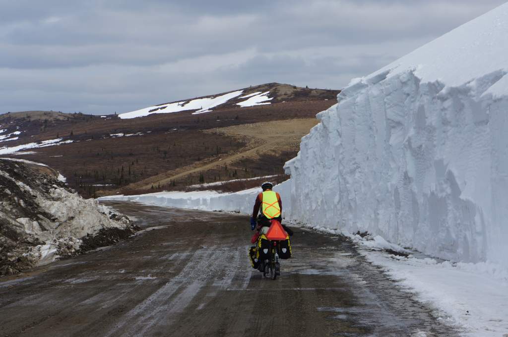
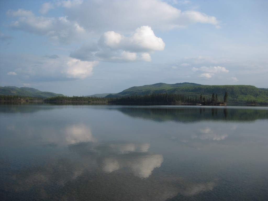
We spent our last pre-Whitehorse night on Lake Laberge, a stunning lake formed by the Yukon River. It was peaceful. When we awoke the next morning, however, the still air was gone and there was a roaring headwind all the way to Whitehorse. The highlight of that windy ride was a bold little fox, who didn’t mind our gawking at all.
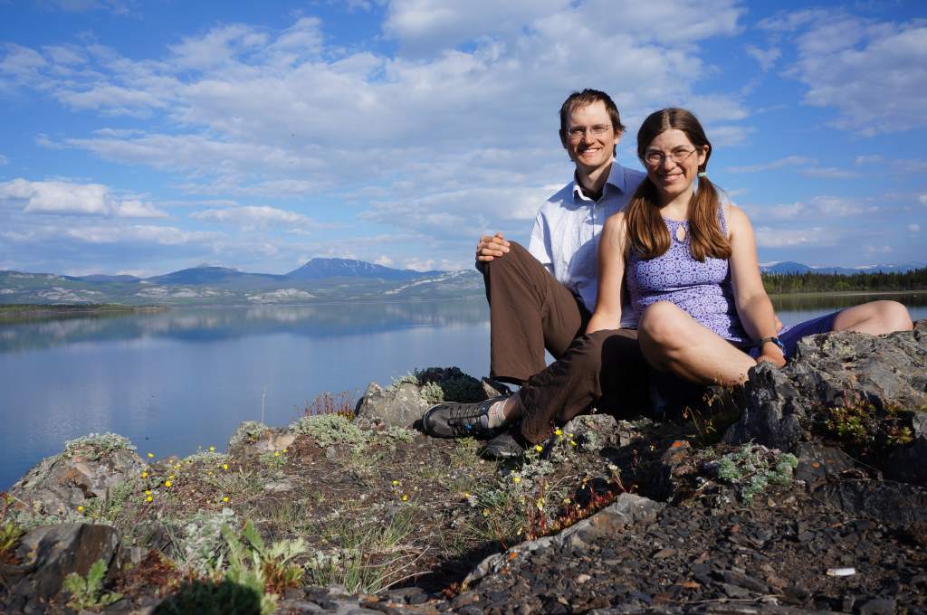
The happy couple at Lake Laberge.
Now we are resting, and feeling very pampered. We are staying with a fantastic cook who has been feeding us non-stop. She has a lovely condo overlooking the Yukon River, and directly adjacent to a trail leading downtown. We will finish these updates and go to town to be tourists!
After our time here, we will go back to Alaska and visit Haines, Juneau, and Skagway. The stories up here of the gold rush era are intoxicating, and I can’t wait to go find a few books on local history at the bookstore!
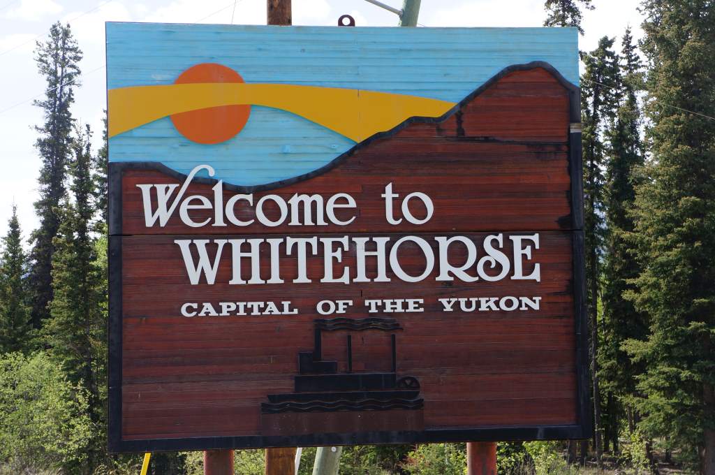
We made it to Whitehorse!