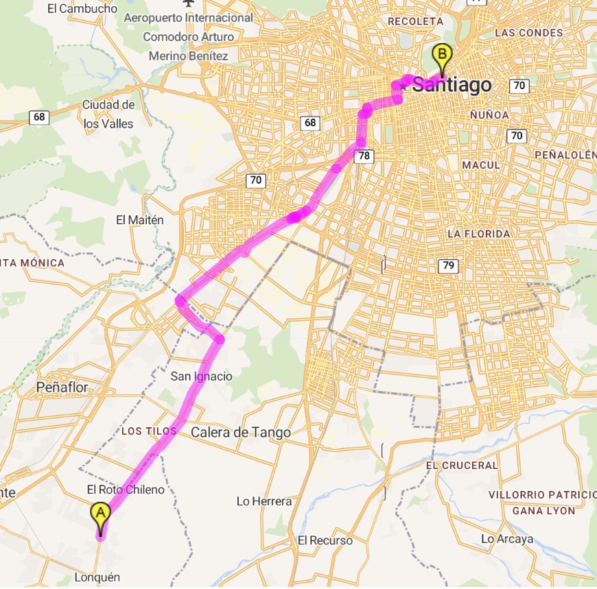
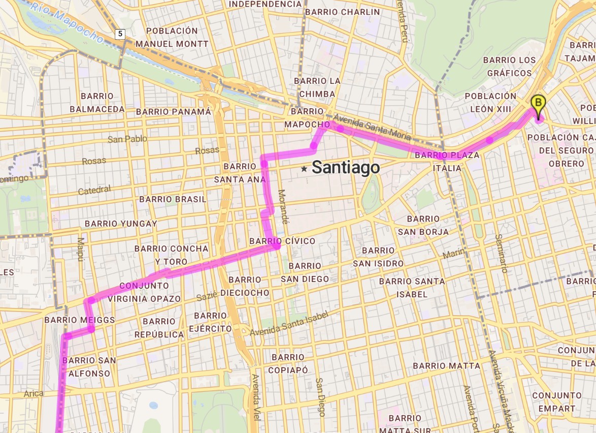
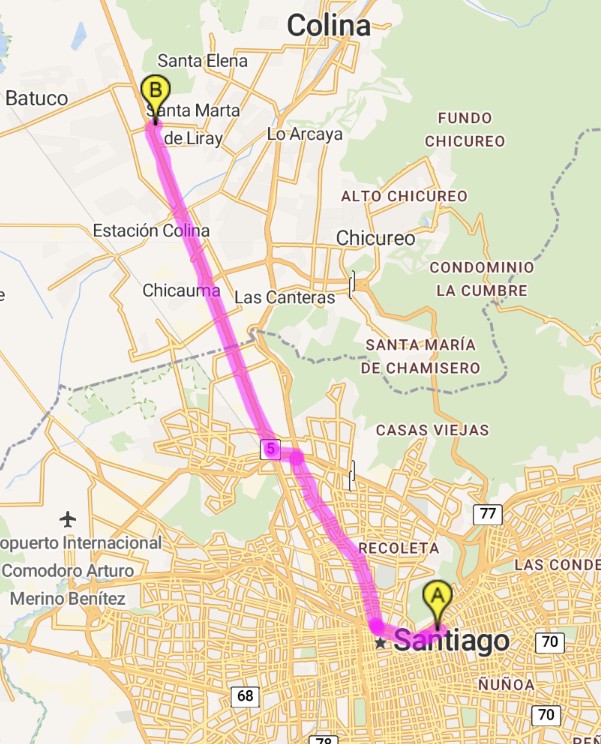
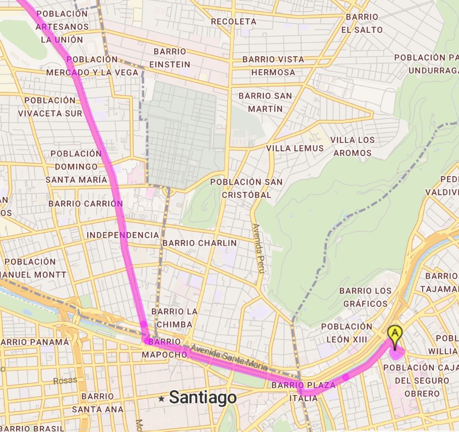
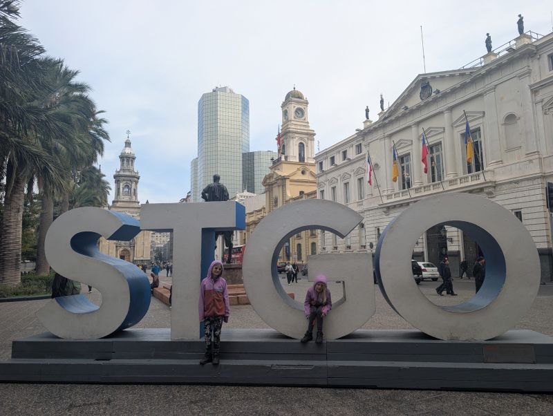
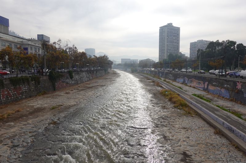
This post is a short update that only covers our 4 days in Santiago, and a few details on our route in and out of this big city. (Cyclists: at the end of this post are maps of our route, which followed cycle paths nearly the entire way.) Santiago is home to about 8 million people, and we really felt its size. Luckily, Daisy rented an apartment in the Triana neighborhood of Providencia, which felt small, quiet, and safely tucked away from the hustle and bustle of the city. Our spot was still just a block from the Mapocho River park and major cycle paths.
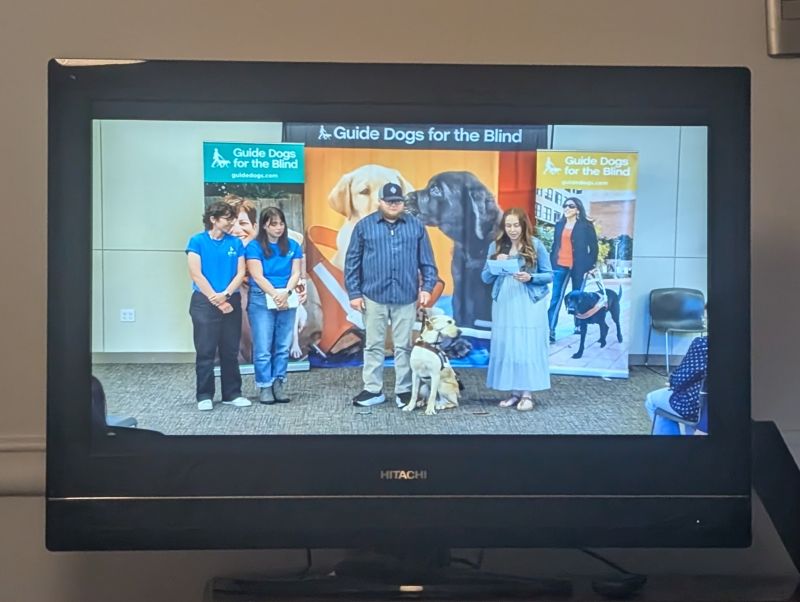
We spent our time in Santiago visiting tourist sights, eating delicious food, completing some bicycle maintenance, and, of course, relaxing. A true highlight was watching our last guide dog pup (Mookie) graduate from GDB live. He is officially a working guide dog!
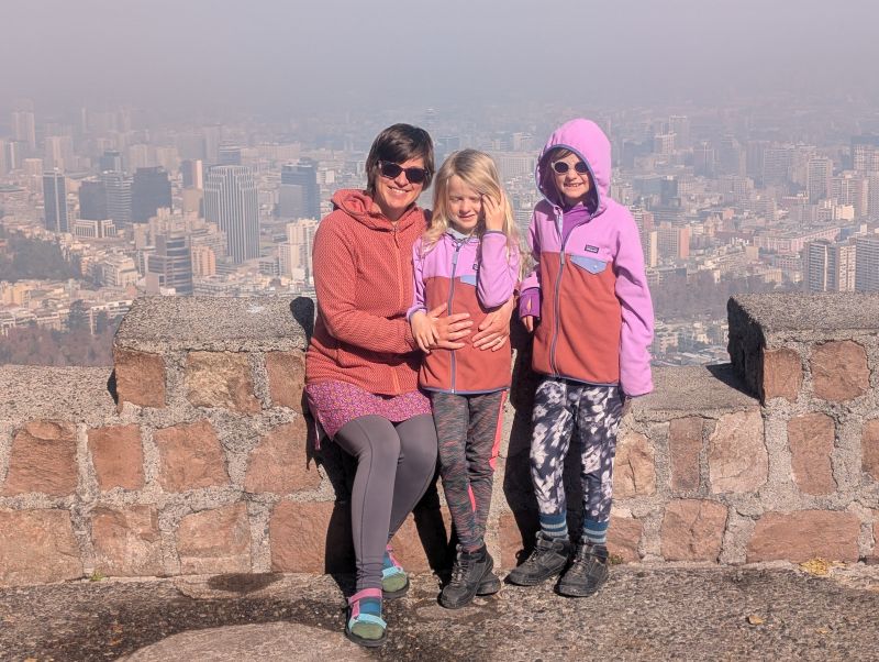
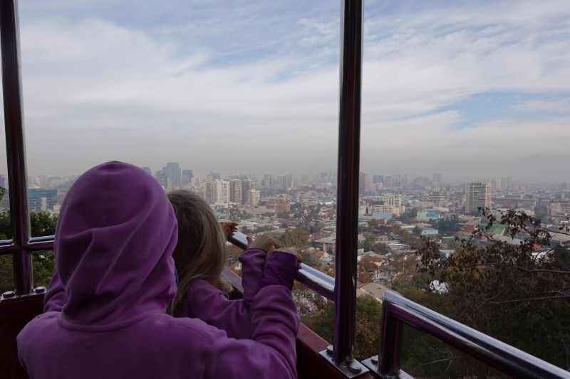
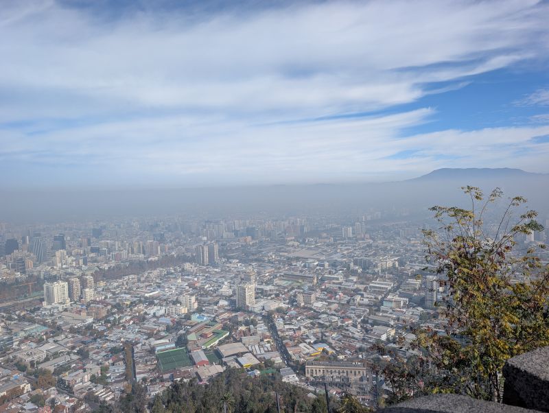
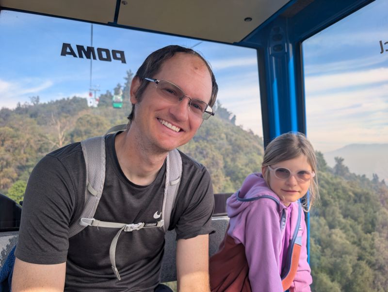
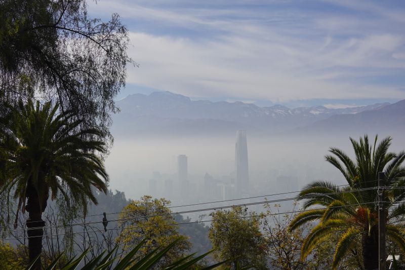
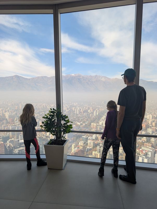
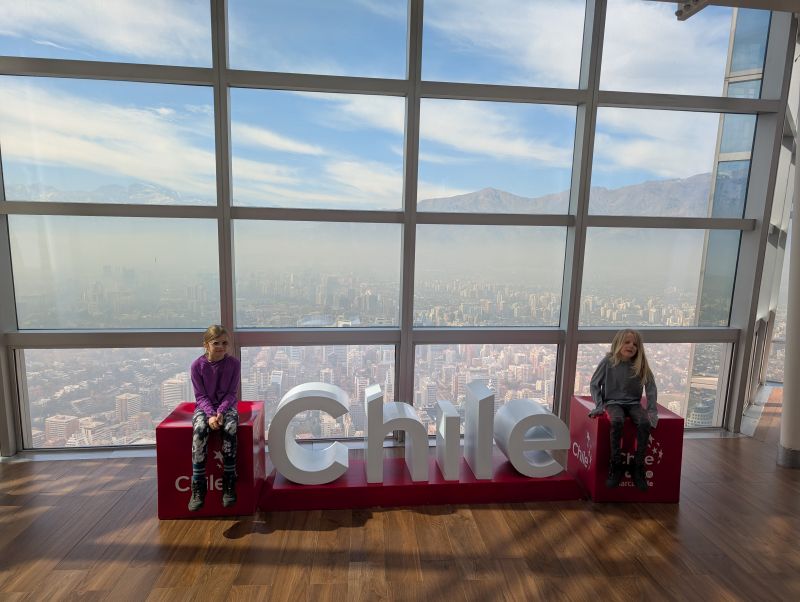
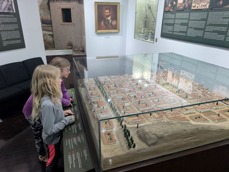
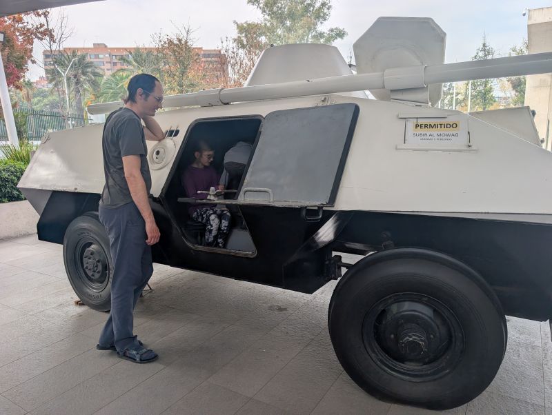
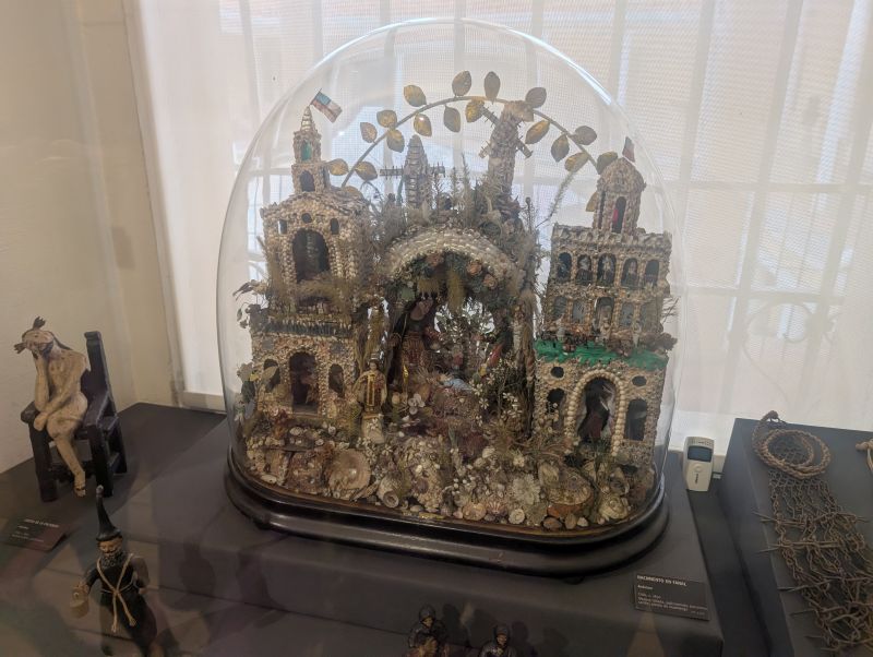
In the municipal park, we enjoyed riding the funicular up to Cerro San Cristobal and the teleferico back down. We also got an excellent view of the city (and the smog) from Sky Costanera, the tallest building in Santiago, at 300 m (1000 ft) up. We learned more about Chile’s history from the Carabineros Museum, the National History Museum, and Pablo Neruda’s house La Chascona.

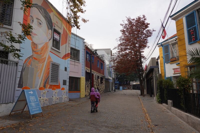
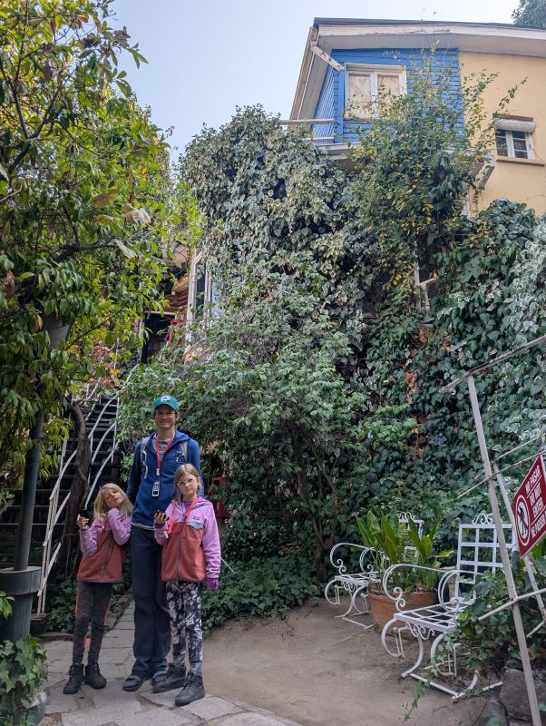
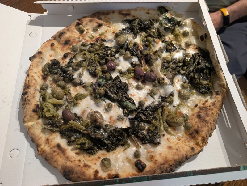
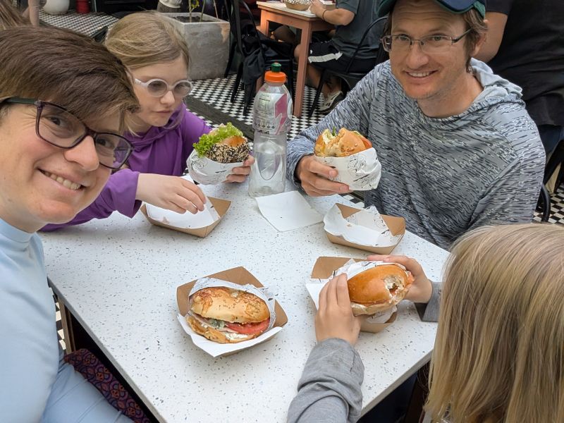
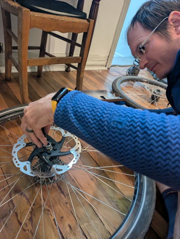
Within just a couple blocks of our apartment there were a ton of restaurants. We especially enjoyed the pizza place just down the street, and our bagel cravings were fulfilled by a cafe around the corner! On the way into Santiago we ran over a ton of glass and other trash on the side of the street and in the cycle paths. From this, Daisy got our first flat tire of the trip. I’ve also had warped disc brake rotors for awhile, that won’t seem to stay straightened. I went on a search to find new ones.
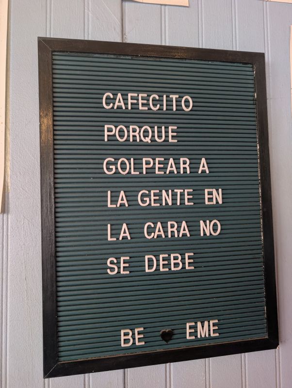
All in all, we had a fantastic time in Santiago and it was a pleasure to spend several days as “typical” tourists. When we pass back by Santiago on our flights home to the US we won’t have any time to visit the city, so we were glad to experience it now.
For cyclists: Initially, we were quite daunted by the task of choosing a route into and out of a city with 8 million people. Luckily, Santiago has a bunch of cycle paths. A quick web search will help you find several different maps of the known “ciclovias.” In some cases, there are additional cycle paths that extend before/after the ones on those maps. We found the cycle paths safe and generally easy to ride on within the city.