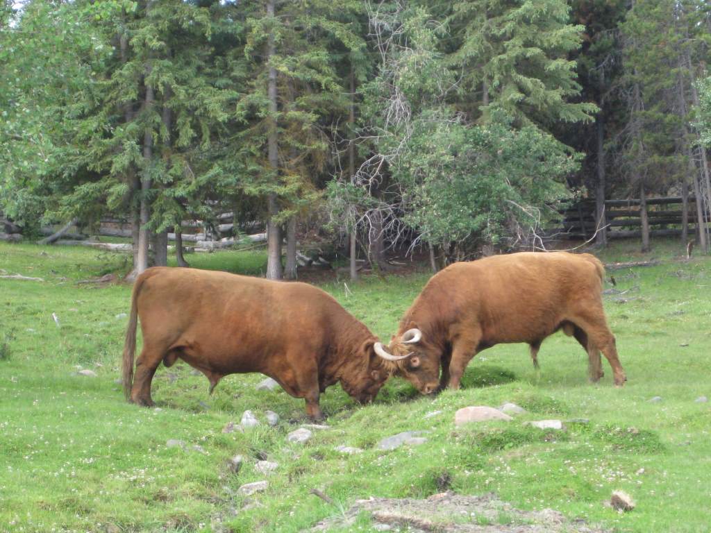
Bulls on a ranch
Wow, what an eventful week we have had. We are finally far enough south that we need our headlamps at night! Last time we wrote we were just outside of Prince George, and we had decided to push on with some long days to make the ferry on the 6th in Bella Coola. We made it! To see a map of where we’ve been, click on the Where are we Now? tab above. Here is a recap of our journey this week. Because so much happened, I am splitting this into 2 somewhat lopsided posts!
We’ve been riding by many farms and ranches.
The buffet is open in camp!
From Prince George, we headed south for two days along the busy Cariboo Highway. It really felt like we were just putting in the miles to get to nicer roads, since this one was full of traffic and through pleasant but uninspiring scenery. We stayed for one night in an RV park with a list of rules that took up most of a page, and another night in the camping portion of the local stampeded grounds.

Upon learning the ferry was full.
On July 1, we called the ferry to make sure there was going to be room for two walk-ons. They said no! Apparently there was only room for one more, so we reserved that space and got first in line on the waitlist. We decided to gamble, and make a go for the ferry hoping that someone would make a cancellation.
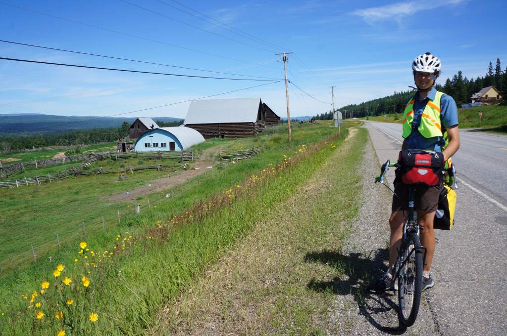
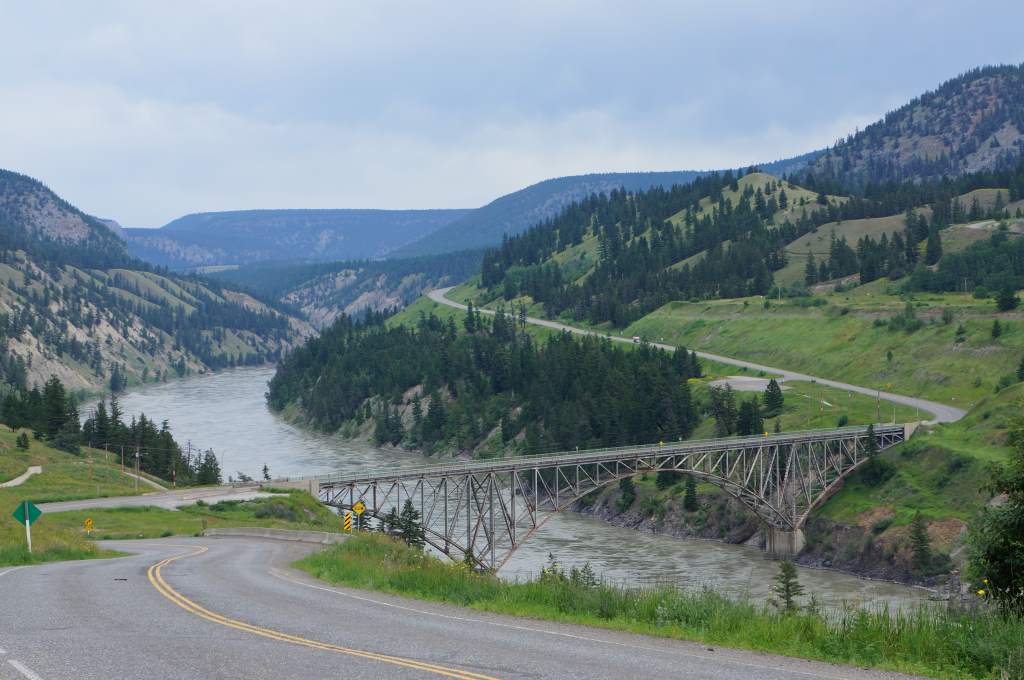
After finishing our ride south along the Cariboo, we turned sharply to ride west for four days. The scenery was to chance dramatically, and the traffic to be greatly reduced. We left the town of Williams Lake the morning on July 2, and quickly descended into ranchland alongside the Fraser River. This mighty river is a major Canadian landmark, and carves a deep canyon through the surrounding land. Deep canyon = steep climb out!
Climbing up and away from the Fraser
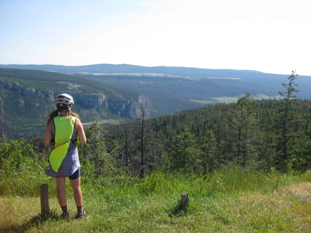
Scenic high country.
We climbed nearly 2000 ft. out of the canyon and emerged onto a high plateau of grassland, cows, and ranches. It was like a completely different world! We rode along the gently undulating plains, and met another pair of Spanish touring cyclists going the other direction. After weeks of cold and rain, it was sunny and hot hot hot. One day it reached 90 degrees!
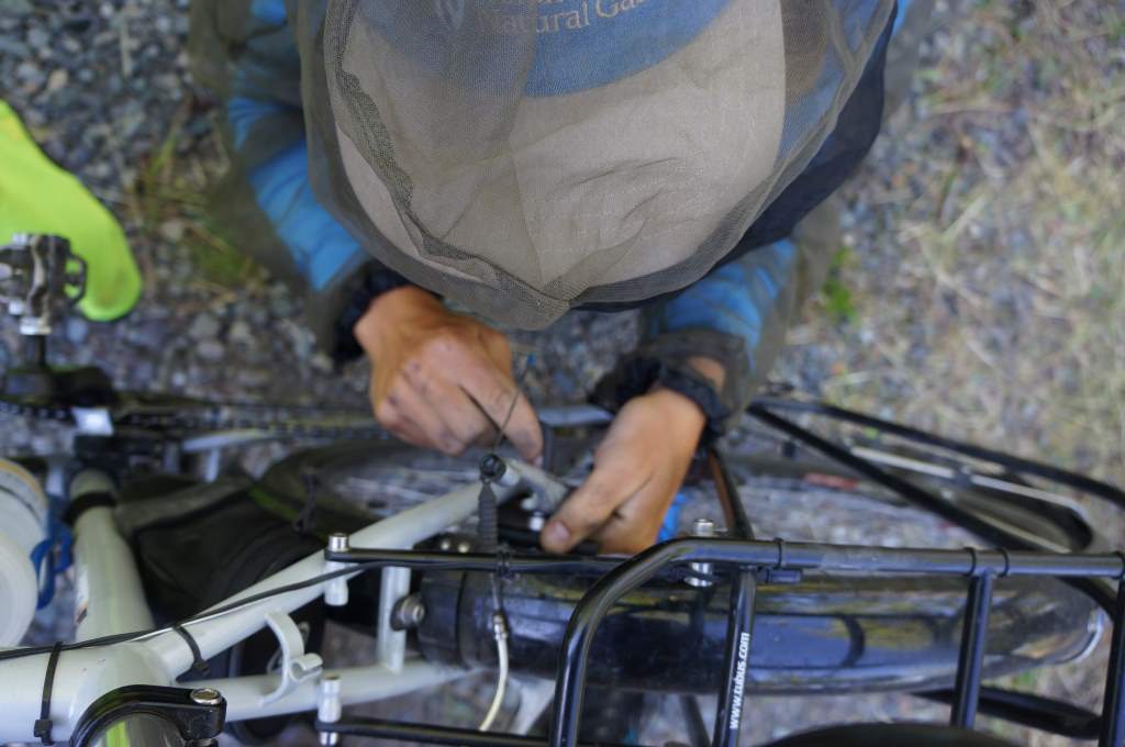
We put on fresh brakes for the descent down a gravel pass.
Our first night out we stayed at Bull Canyon Provincial park, right next to a swiftly flowing river. It was a peaceful spot, and we slept well. The next few days would see us gradually climbing up up up to the coast mountains. The scenery seemed brand new – like we had emerged into the Canadian Wild West. There were cows next to and on the road, and horses too. They all seemed unphased by cars but terrified of cyclists.

Horses ahead.
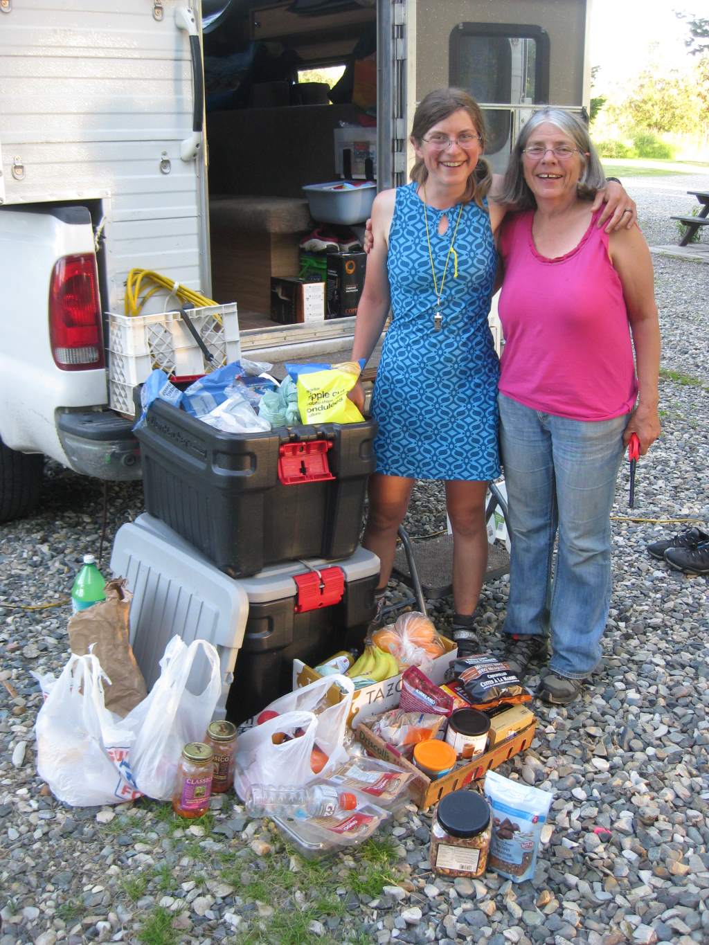
The next two days were full of headwinds, and more gentle climbing. By the end of those days we were exhausted from fighting the wind all day. My parents finally returned our bags and went their own way on the fourth of July. It was sad to see them go – we have had so much fun with them, and certainly appreciated the light bicycles and delicious food every night. Thank you!!
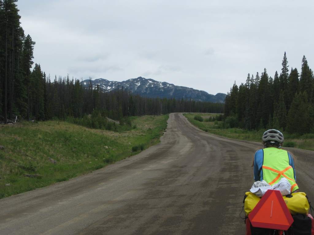
Gently climbing up the pass.
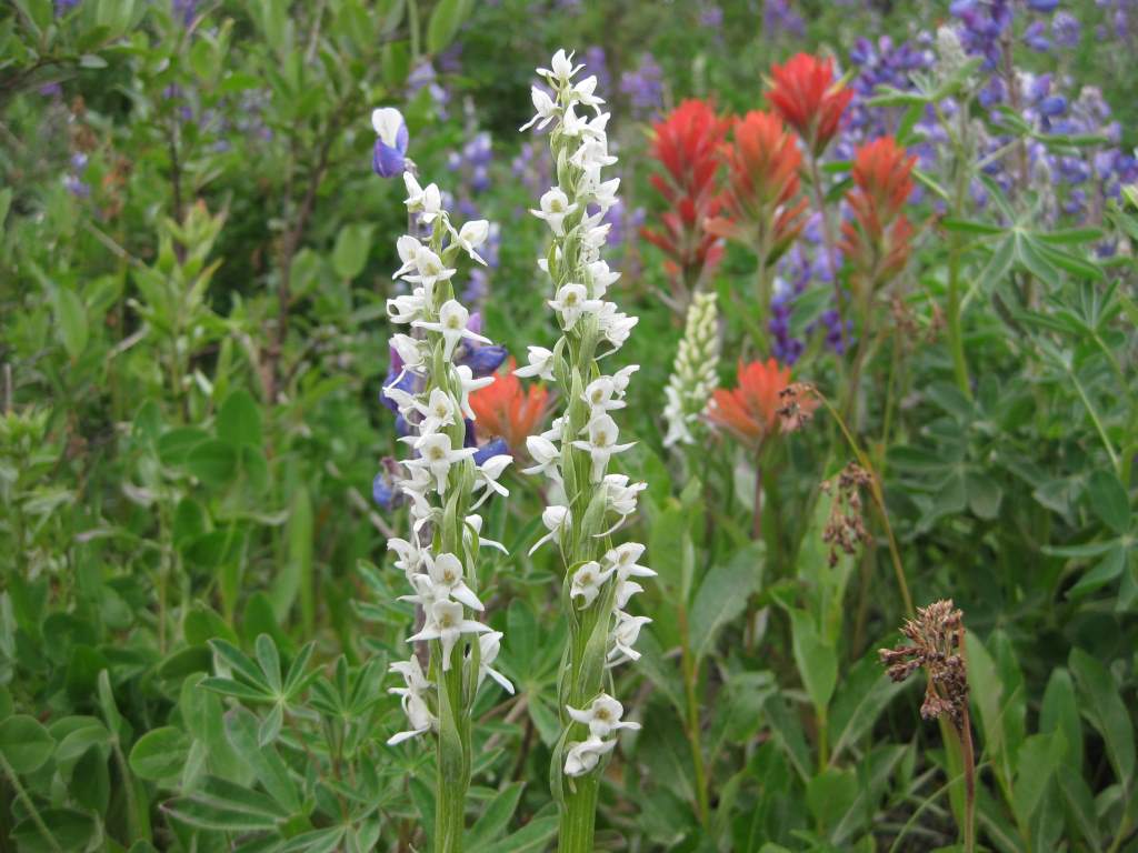 We got out bags back just when the pavement ended and the climb to the top of Heckman Pass (5000′) began. To be honest, the climb was pretty easy. The road slowly gained elevation over more than 20 miles through uninterrupted forest and a belt of wildflowers along the road. Most notable during our climb was our encounter with Crazy Fox. Crazy Fox was trotting along next to the highway when we first saw him, carrying about 5 dead mice in his mouth. He barked at us as we approached, and seemed to have no fear of us at all. I whistled at him, which at least got him off the road, but he continued to trot forward with us for a few miles. After a hill, we thought we had finally lost him and stopped for a snack. Suddenly, there he was again, approaching Jason and looking for a handout! Jason scared him off, and we quickly moved away again. Crazy Fox! Apparently, he had also approached other travelers who we spoke to down the road.
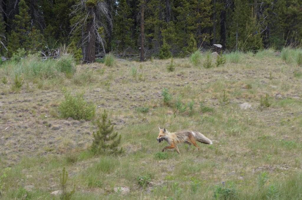
Crazy Fox!
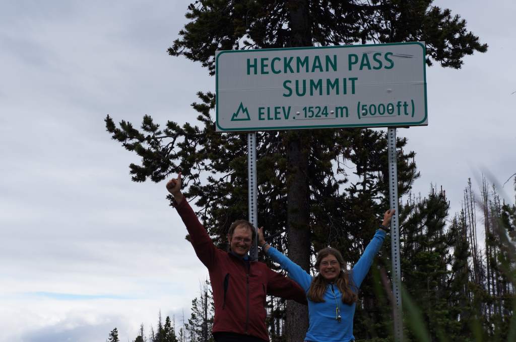
Summit! highest so far at 5000′
We finally reached the summit, and after the obligatory photo began riding the swift drop down to sea level. This is called the Freedom Highway, or Freedom Road, because the coast mountains are so forbidding the government refused to build the road for the locals. The locals, however, took matters into their own hands and bulldozed the road themselves. We saw the place where the bulldozers from both sides met. Now, the road is well-maintained but still a challenge. The grades range from 11% to 18% through steep switchbacks. We had to stop multiple times to allow our brakes to cool down, but we made it!
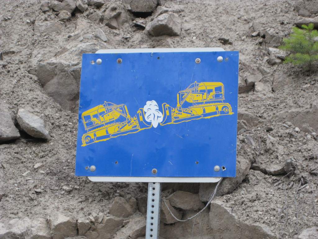
Where the bulldozers met when they made the road.
At the bottom we had planned to camp at a Provincial Campground, and we arrived around 9:00 to find it had been closed due to flooding. Yikes! We could have slept anywhere, but this was a pretty active bear area and Daisy freaked out and wanted to stay around other people. So, we pushed on about 10 more miles to the next campground, arriving exhausted just before dark. It didn’t seem like it would rain that night, but rain it did. It started in the night and continued until morning.

Stopping to let the brakes cool.
Next up – the ride into Bella Coola, and taking the 16-hour ferry ride to Vancouver Island.