Vancouver island: A surprisingly wealth of natural wonders.
Right now, we are in the trendy, surf-focused town of Tofino, spending a few days soaking up the atmosphere and fishing for salmon with my father. Last time we wrote we were in the seaside town of Port Hardy, recovering from a long ferry ride. Since then, we have ridden south through hills and alongside mountains.
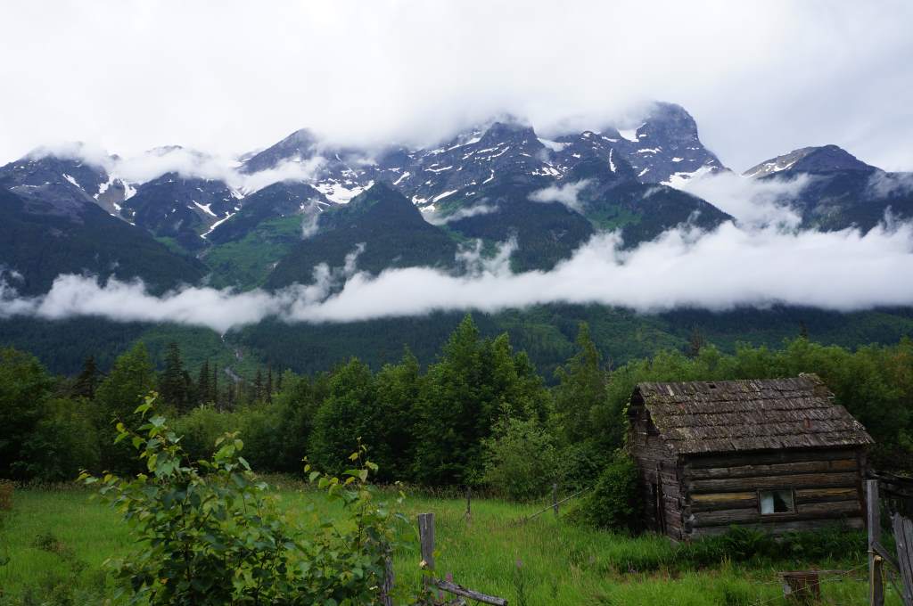
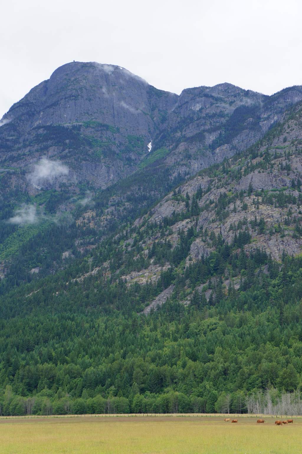
We have crossed a surprising number of rivers and streams, swam in lakes, and entered the busy world of Canada’s California. Vancouver Island is so much more than we ever expected it to be – more than a 300 mile long adventure island, it is a mecca for surfers, fishermen, beachwalkers, retirees. It has snowcapped mountains and sunny beaches, with raging rivers in between. In short, we decided this island has it all. If the apocalypse ever happens, Vancouver Island will be the one place where food and water will always remain plentiful.

More than two dozen First Nation Canoes in Port Hardy.
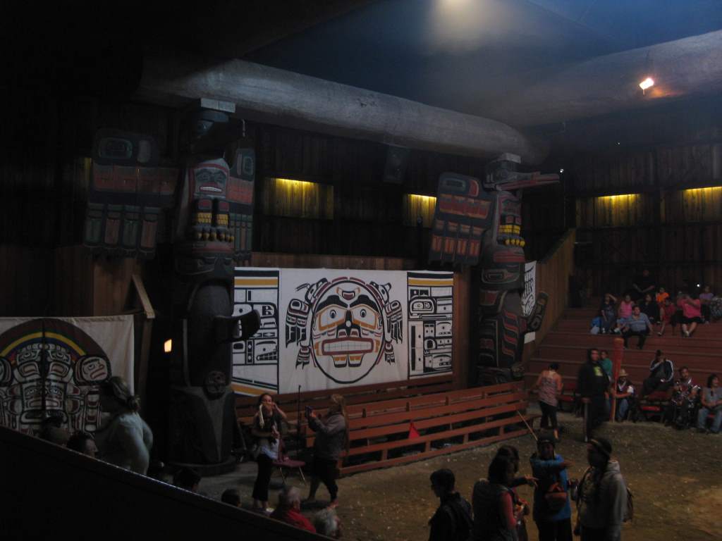
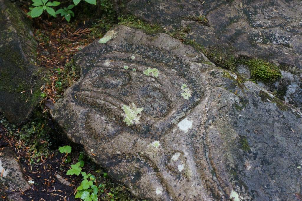
Inside the longhouse during the welcome ceremony.
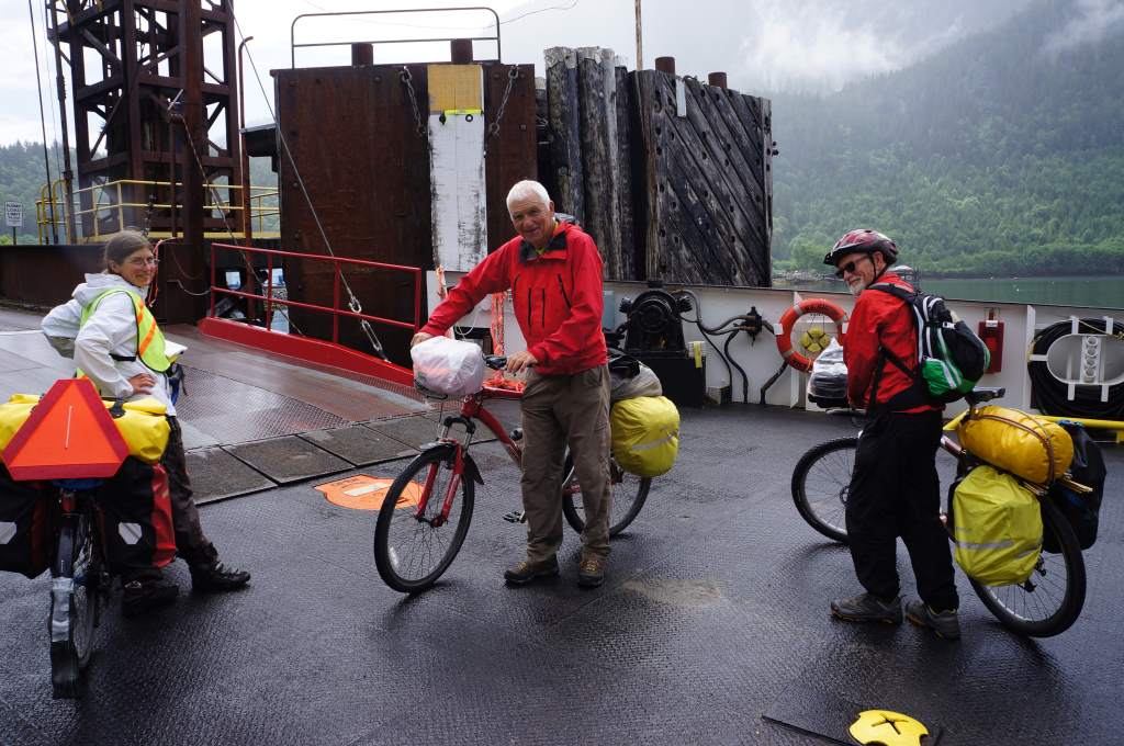
A few stories, then, of our last few days. We were remarkably lucky in Port Hardy to be there at exactly the same time as nearly two dozen first nation groups who are canoeing north to Bella Bella. We were invited to camp with them for the night, eat dinner, and witness their welcome ceremony in a traditional longhouse. Needless to say, it was an incredible experience in an incredible location. We walked the beach to admire their canoes, and saw half a dozen bald eagles.
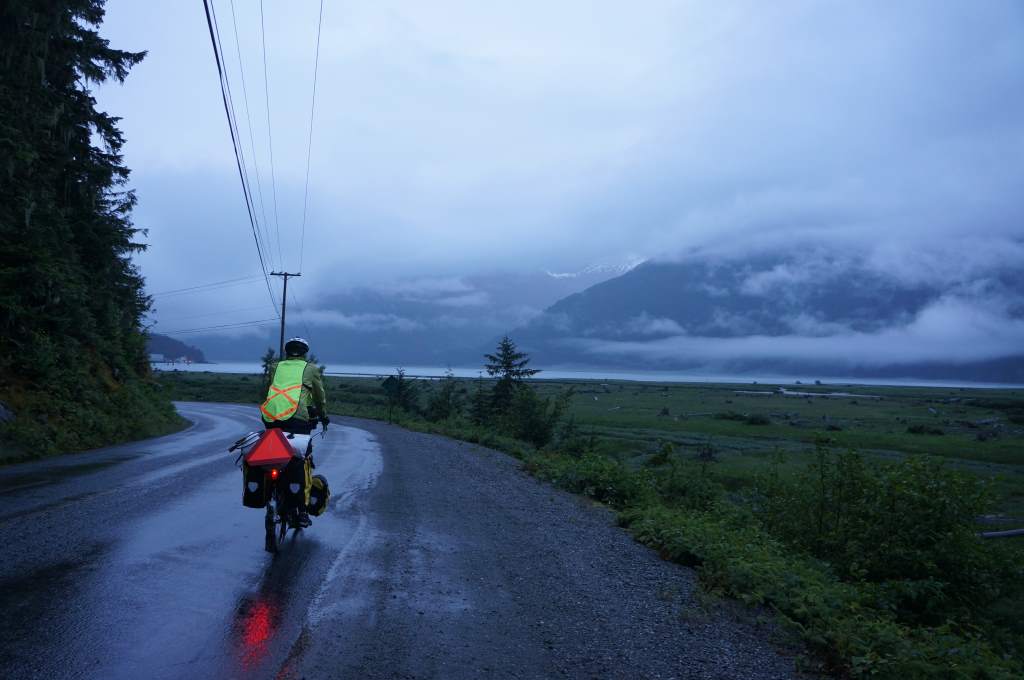
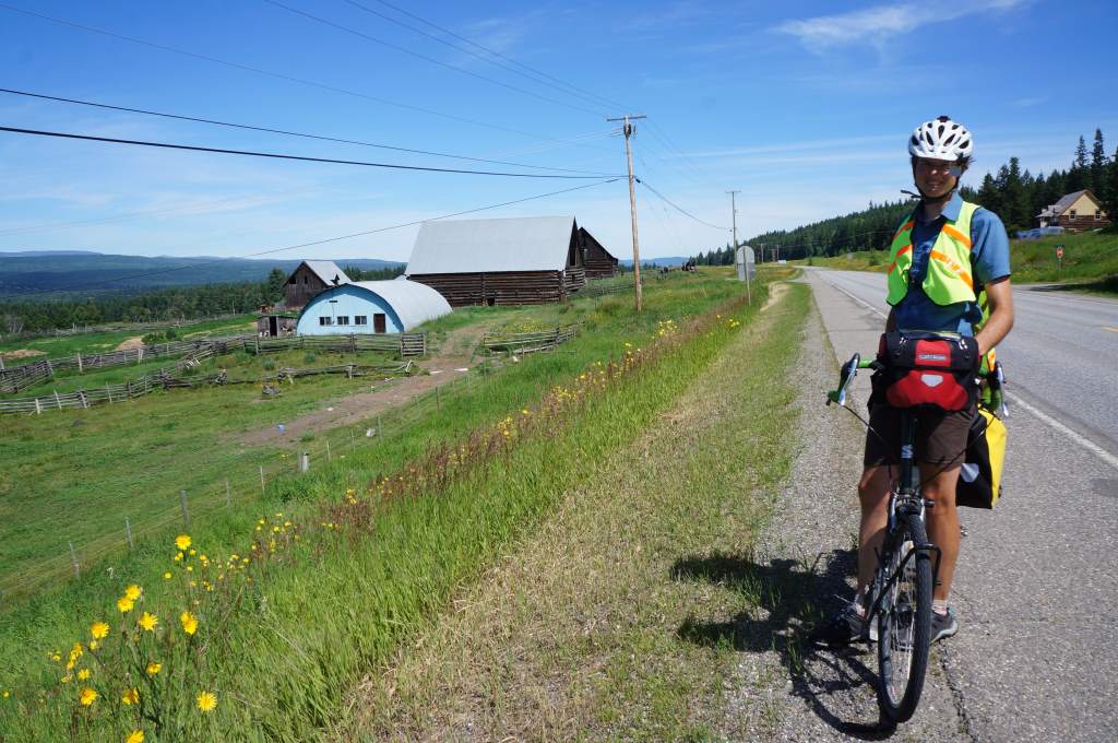
The next day we started the long road south along the sole paved road. It was a good road too, with an acceptable shoulder and gentle grades. We have begun to see other touring cyclists too! One in particular, Joe, was a blast to chat with. Great to meet you Joe, and happy riding on your trip North.
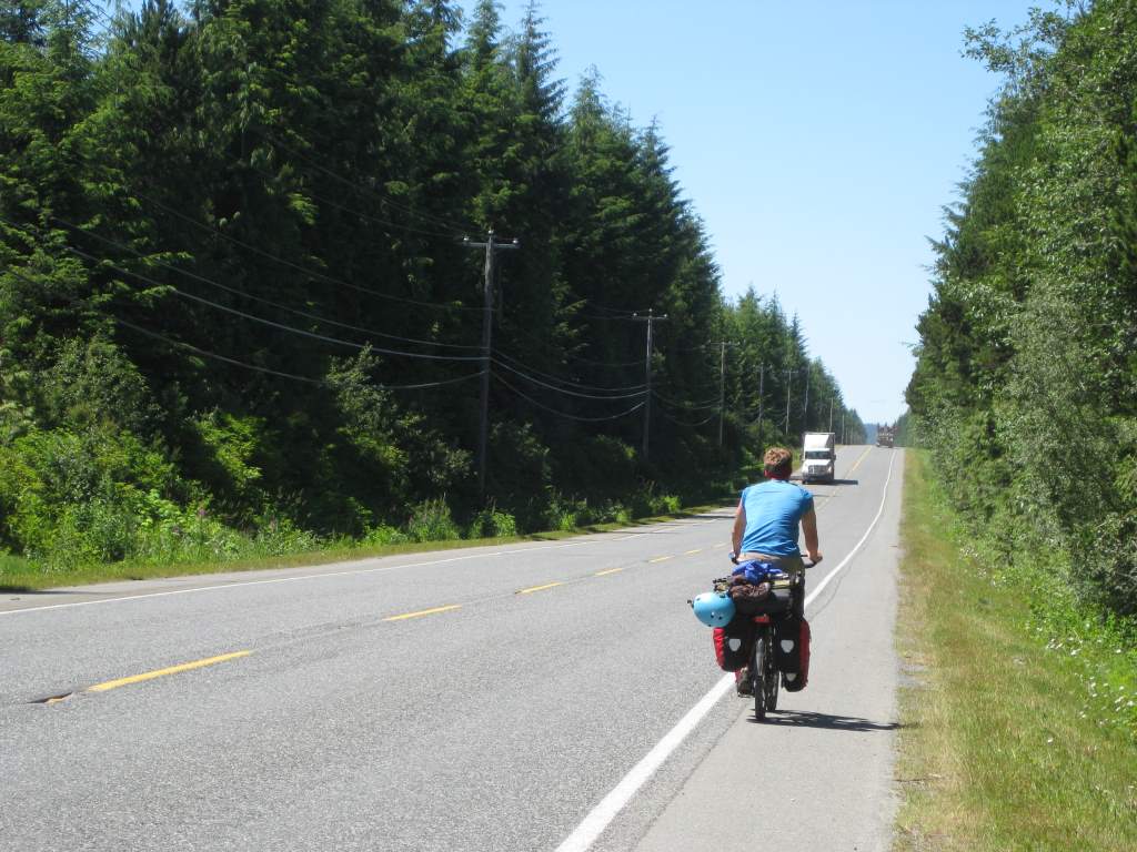
It is always fun to chat with other touring cyclists. This one is heading to the far North.

Gathering washing water at another wild camp.
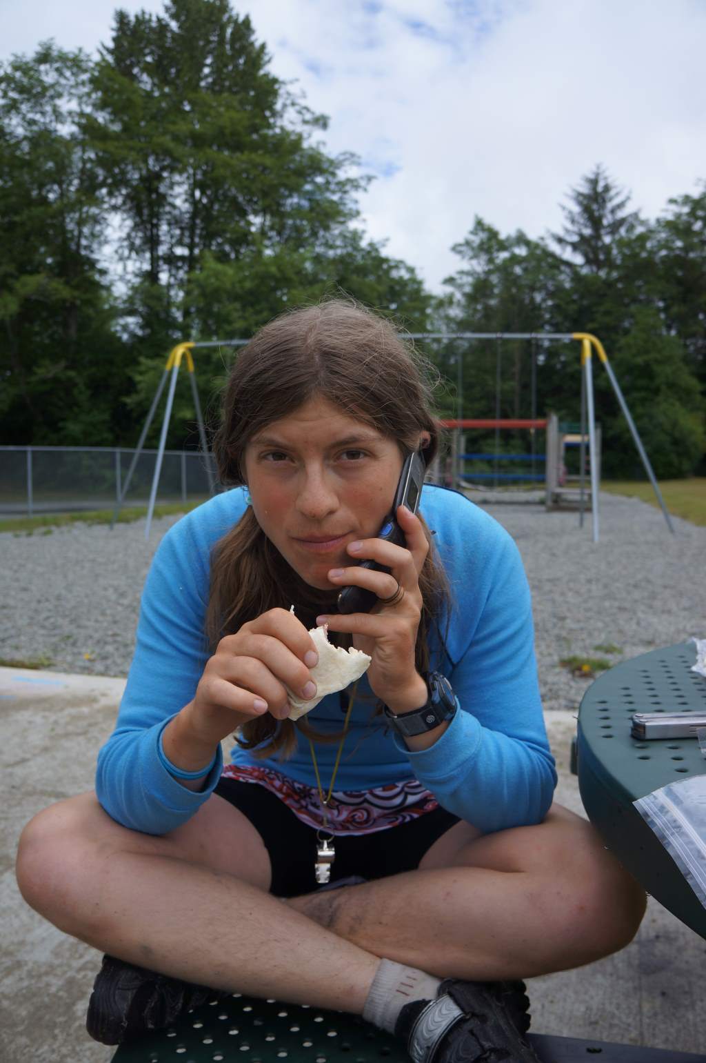
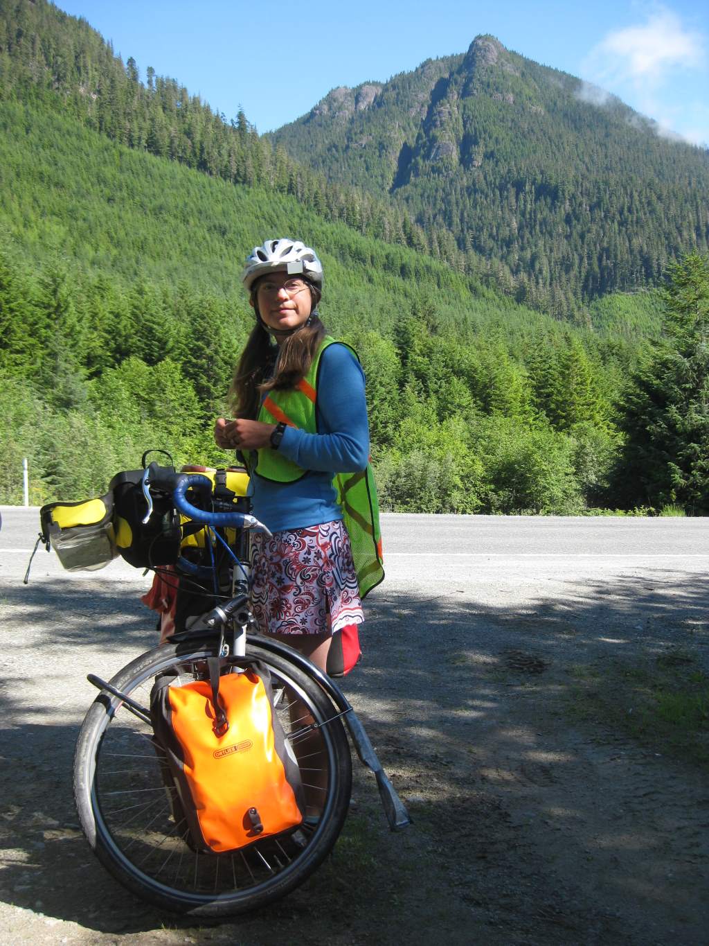
The weather has been fantastic, sun and pleasant temperatures. We have shifted our riding times forward – waking up progressively earlier each morning to ride while traffic is calmer. Surprisingly, we have managed to camp in lovely places for free each night. Our favorite spot was at Robert’s Lake Picnic Area. Technically, it is a day-use only area, but we were told by local residents and the visitors center that it would be no problem if a couple of cyclists spent the night there. It was beautiful. We did laundry and dried it on the fishing dock, spending an afternoon lazing in the sun and dipping in the sparkling clear water.
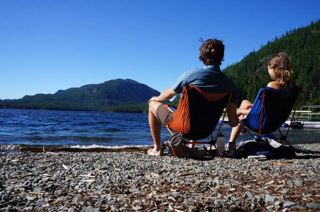
Relaxing at Robert’s Lake
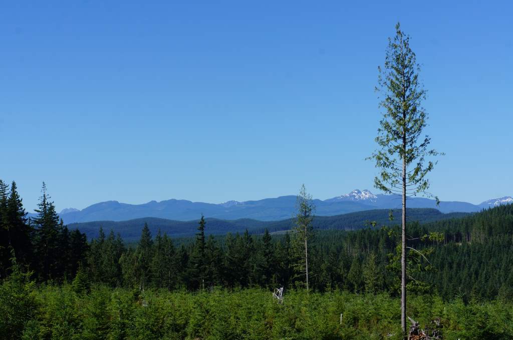
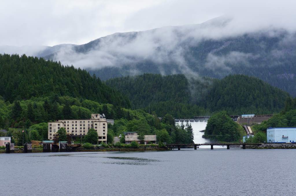
The island has a long logging history.
After two days riding in the more or less isolated northern part of the island, we were dumped unceremoniously into the bustle of modern towns. Actually, it was quite nice to find all the services we needed in Campbell River, and to chat with the folks at the visitor’s center. After refueling and getting food, we headed south along the extremely busy highway next to the sea. The shoulder was good, and we were comfortable next to the mostly-polite traffic. The views were very good all along the beach, and we reached yet another milestone: the 50th parallel! about 14 down, now just… about 105 to go! Hee hee.
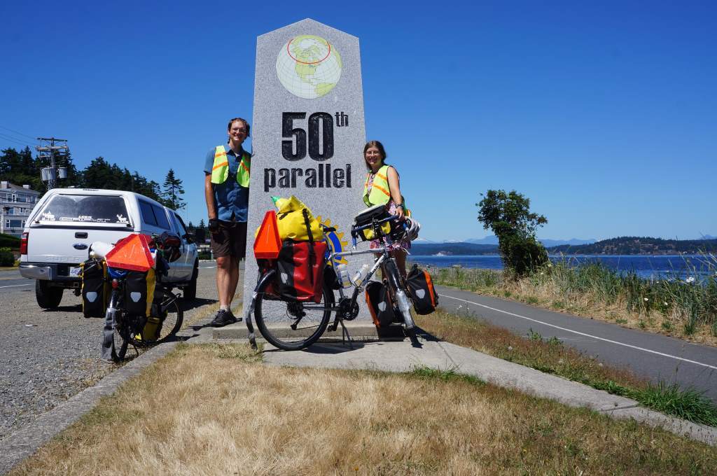
Woohoo! 50th parallel!

Creekside Camping – Daisy took a full dip here!
After Campbell river we tried to find a real campground to stay in, following small ‘camping’ signs to an organic farm that used to be a cyclist campground. Now, the goats live where the camping used to be, but we were told about a creekside campsite down the road, and given a fresh bag of lettuce, kale and peas. So lucky for us!
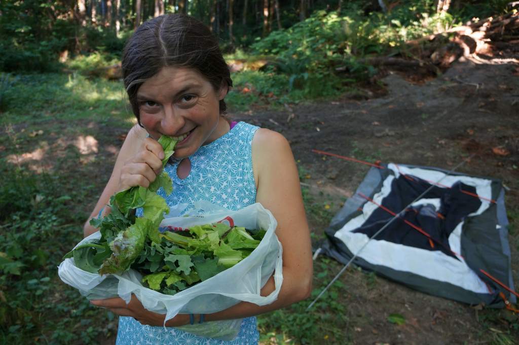
Yummy greens at our stealthy campsite.
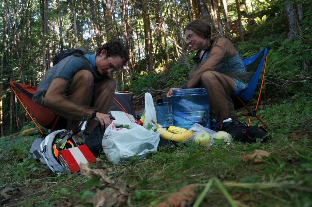
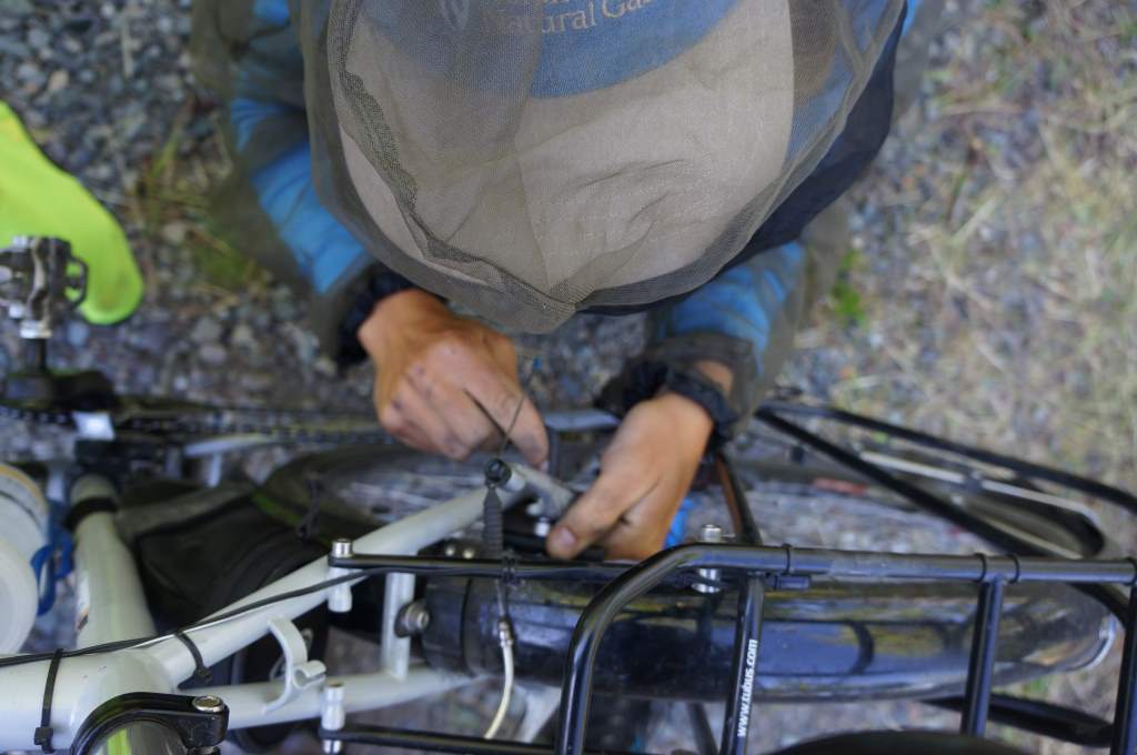
The show: preparing dinner in our bug suits.
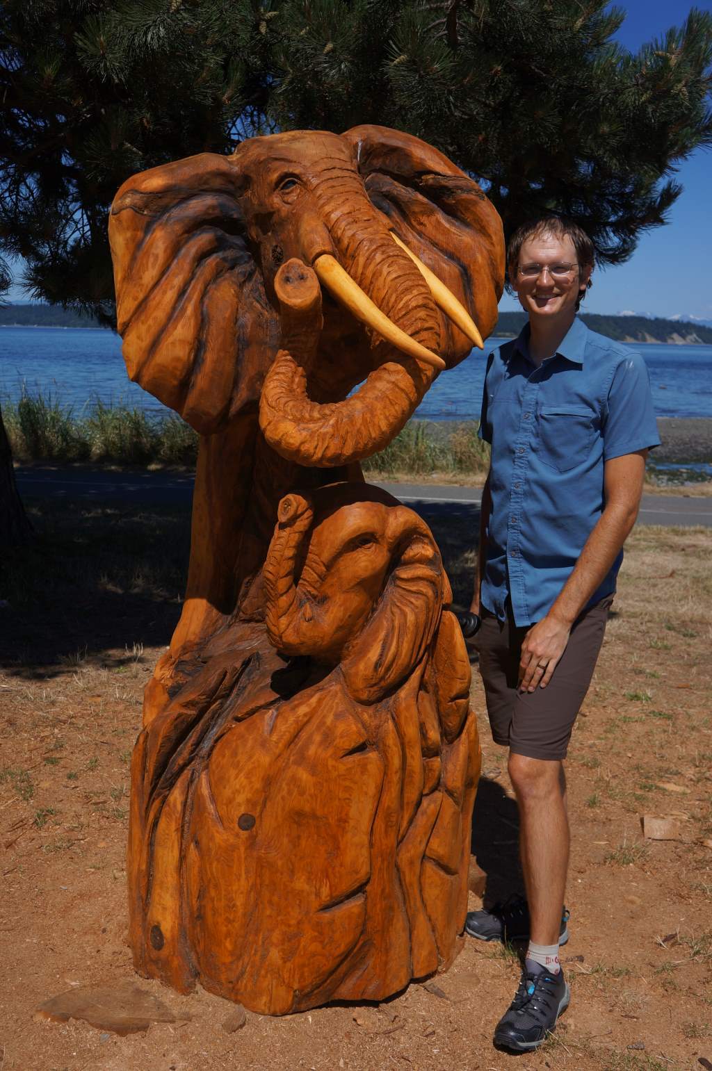
We also came upon a chainsaw carving competition display. Crazy!
Finally, we rode over the “hump’ from the east side of the island to the west. The road was crazy, insanely busy, and we were scared when the shoulder briefly vanished. Despite this, it was a beautiful ride through forest, past a large lake, and through an old-growth grove. We met the local iron-working crew who insisted on a picture. What a crew! Daisy jumped in the lake to cool off.
We are now taking a side trip to fish with Daisy’s dad for a few days. Believe it or not, we took a bus to Tofino (gasp!!). We were warned the road was a bit horrendous for cyclists, and since it’s a sidetrip we decided it wouldn’t be cheating. No busing north or south, but east and west side trips ok! Sure enough, the view from the bus was terrifying enough. The road was incredibly narrow, winding, and steep with heavy traffic. Yikes!

Iron workers of Vancouver Island.

Jason next to the biggest tree in an old growth grove.
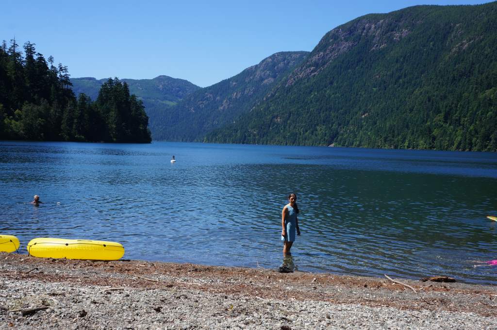
Daisy on the lake – right before she got all the way in!
We are now in a beautiful campground living the luxury life and getting out on the water soon. Next update about our fishing!