Yearly Archives: 2015

Cycling the world’s largest salt flat

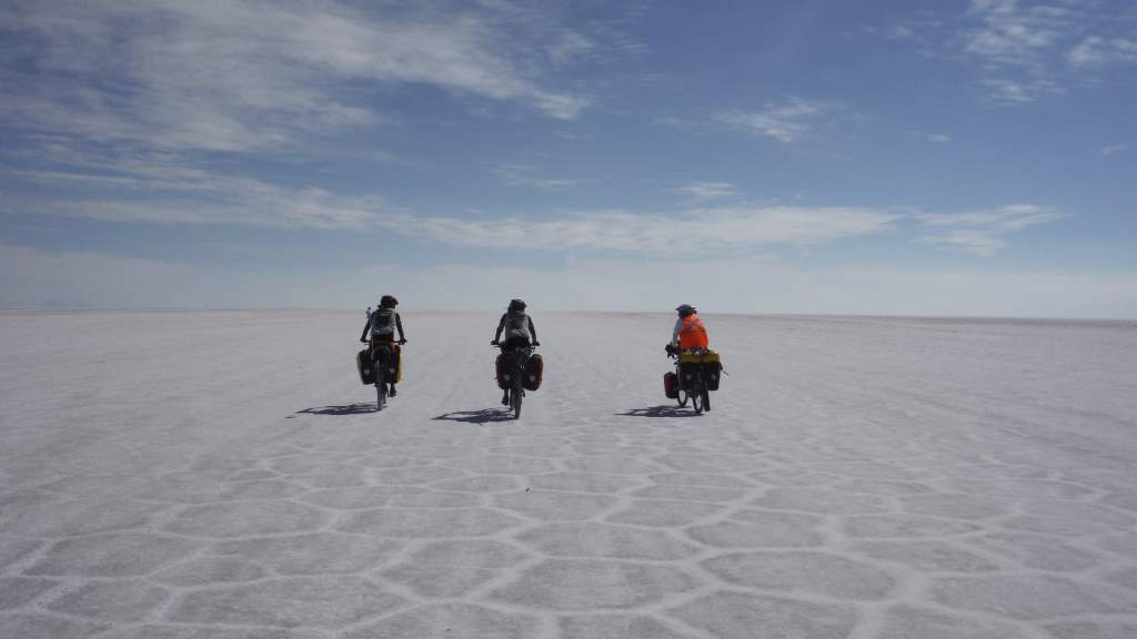
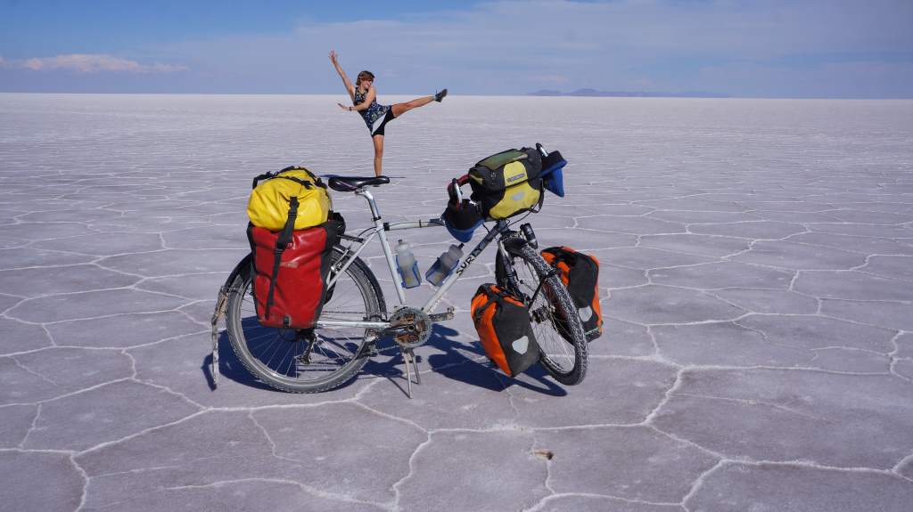
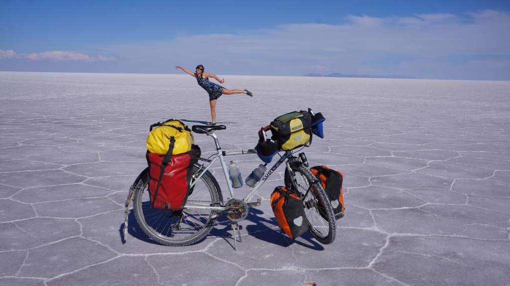
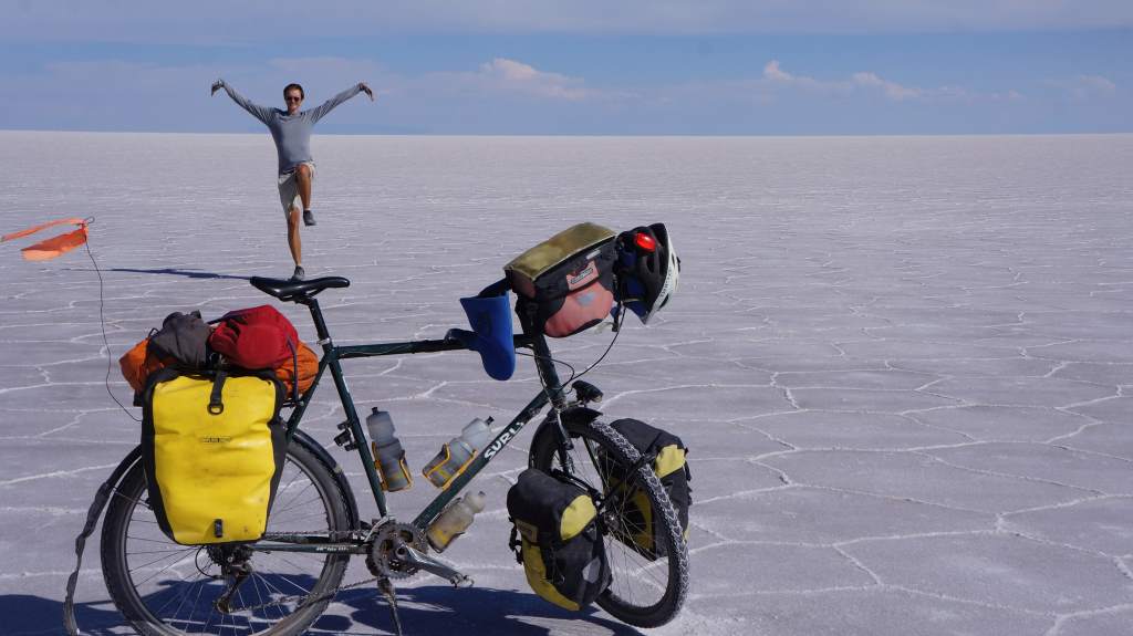
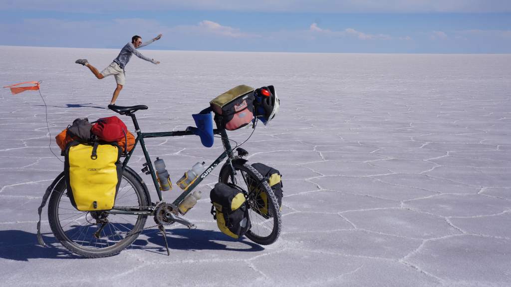
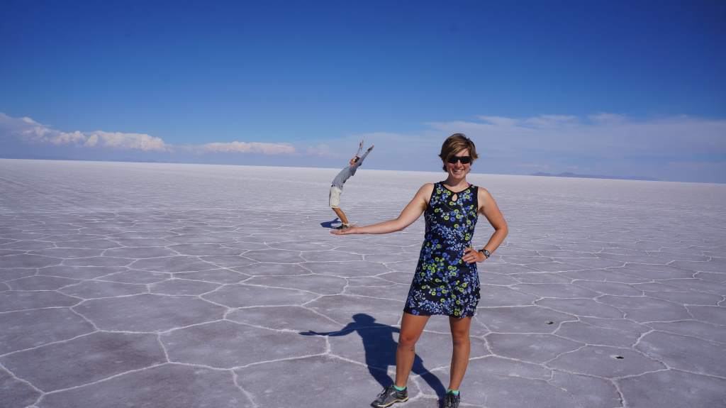
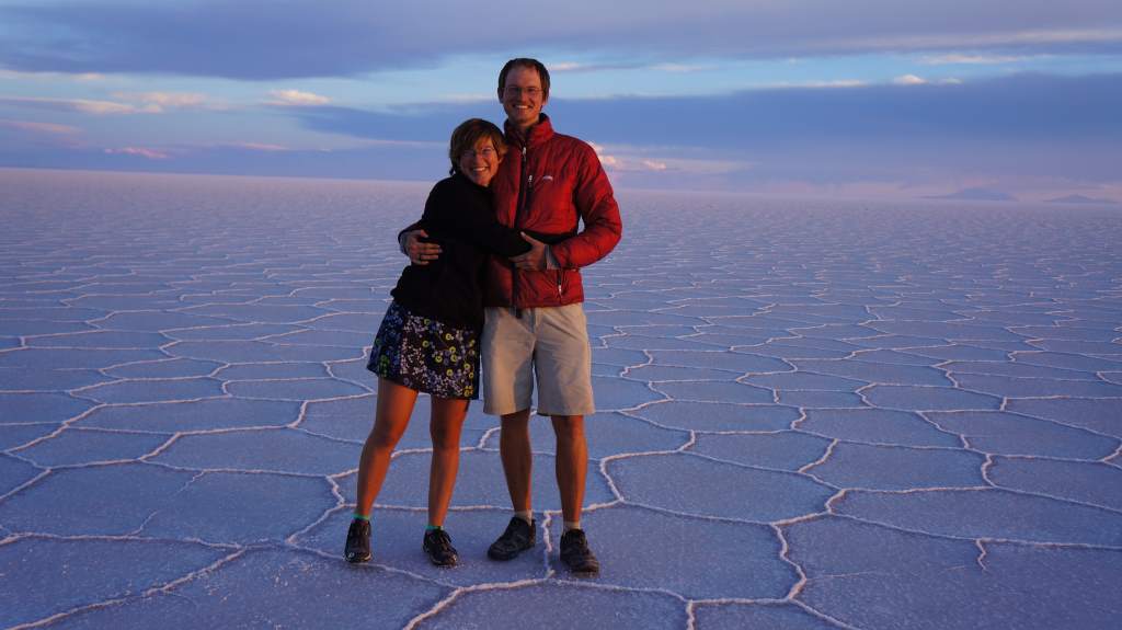
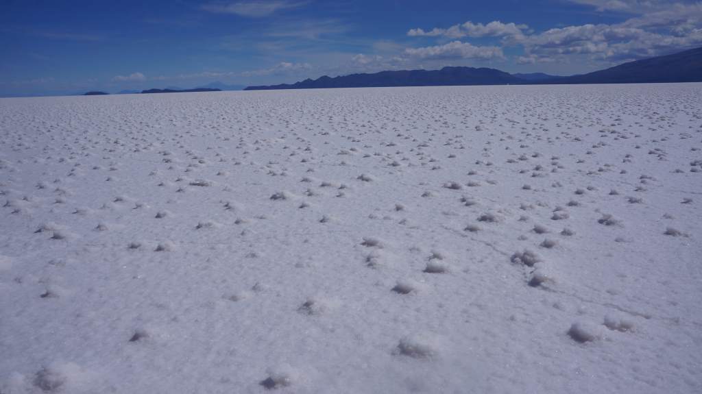
Since our last update we spent two magical days on the Salar de Uyuni, which has the distinction of being the world’s largest salt flat. The salt flat is the remains of an ancient (and massive) lake, and it provided perfectly flat riding on a lovely surface. It also warps your sense of perspective and scale, allowing for some fun and hilarious photo opportunities. For the most part, this post is just a good excuse to share with you some of the pictures we took during our ride on the salt. Of course, we also spent a magical night on the salt, explored a desert island in the salty expanse, made our own path back to land, rode through a llama field and a mud flat, and had a couple of adventures in small Bolivian towns. First, the salt!

The Philtrons as tourist attraction.

The Philtrons as tourist attraction.

The first part of the salt flat was packed with tourists in jeep tours. They all run out of the jeep to take perspective photos, and then when they see us they freak out and swarm. We had to answer the same questions umpteen times, but a few were new. One woman from New Jersey asked us if it was flat all the way to Ecuador! The answer is a resounding NO, for the record!

Apr27_007

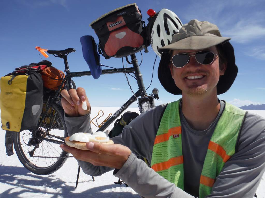
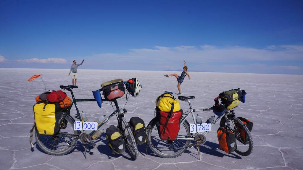
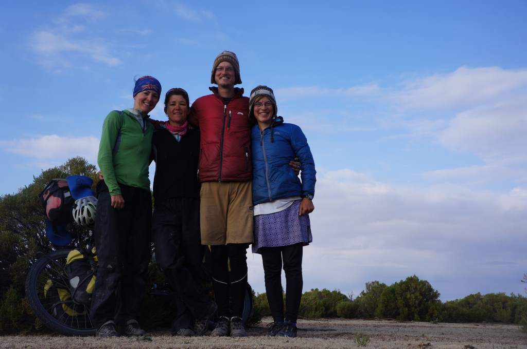
We rode away from the salt hotel and other tourist spots near the edge of the salar and headed towards the middle. About 40 miles from ‘land’ we stopped for our own photo shoot, since we had reached 13,000 miles! We are still riding with Emma and Debbie, the New Zealanders, so we were lucky to have someone else take our photo for once! Here are some of the photos:

Apr27_011 Apr27_010 Apr27_008 Apr27_009 Apr27_014

Did I mention we finally made it to 13,000 miles??!
Apr27_012

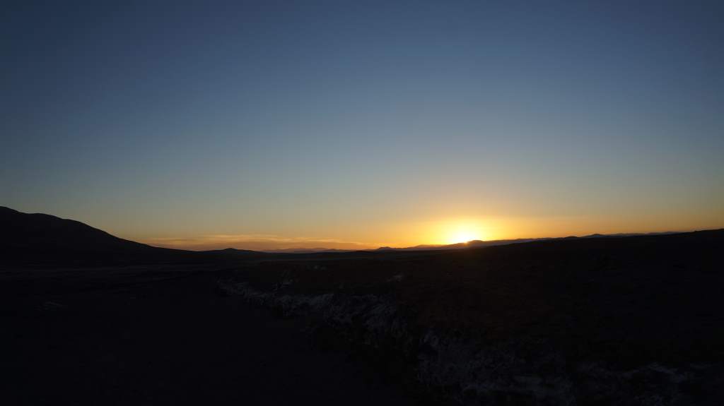
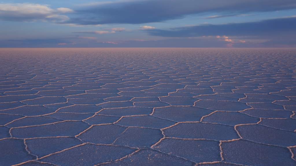
Apr27_024That night was camped on the salar in the vast expanse of nothing but hexagons formed by salt. We watched the sunset, which seemed to happen in slow motion, and then after dark we watched distant lightning storms in the mountains. It was a wonderful night.
Apr27_019

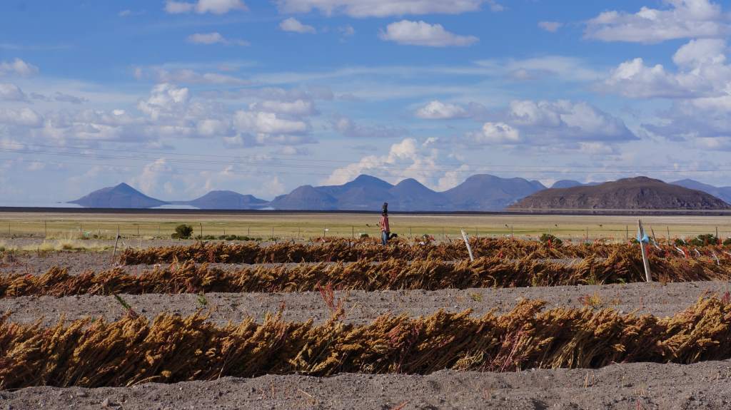
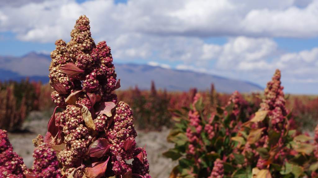
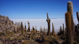
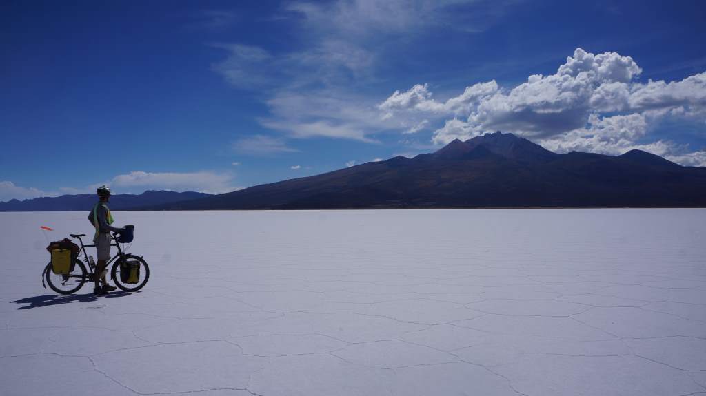
Apr27_021Apr28_005The next morning we reached the Island Incahuasi, which is another huge tourist draw. Lucky us, we had the whole place to ourselves since we are on a different schedule from the jeep tours. We hiked to the top of the island, saw many many cacti, and enjoyed the peace. From there we rode on the salt again, straight towards a towering volcano. It was a completely different experience to be off the jeep “road”, and to simply choose our own path. We decided to ride around the volcano on the salt, and then head for land on the far side. Sometimes the salt surface got soggy, and we had to race across it to keep from sinking! Even when we did reach land we had to cut through mud flats and across fields before finally finding a track to ride.  The track led us through fields of llama and quinoa before it led us to town.
Apr28_009

Apr28_014 Apr28_011 Apr28_017Apr28_019 Apr28_020Apr28_023That night we stayed in the town of Salinas, which was a charming place with a beautiful plaza, friendly little kids, and very nice women selling fresh bread on every corner. We stayed in a hotel which was clearly not up to earthquake code, but luckily we made it through the night anyhow.

Apr29_001


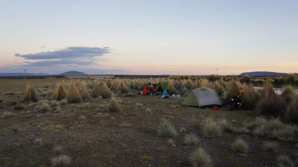
After Salinas we made fast time across the flats on good roads. We wanted to stay in more small towns, but the lodging options were abysmal or nonexistent so we had to camp. One night we had a wonderful campsite next to a river, and the next night we had a desperation sort of campsite along the road.

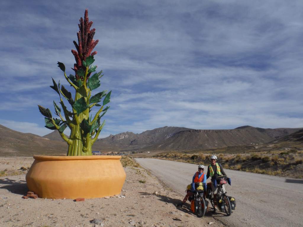
Quinoa statue!

Quinoa statue!

Apr29_003 Apr29_013

You see, we had planned to stay in the mining town of Poopo (funny name, right?). Poopo claimed to have a resort-style hotel next to a semi-olympic swimming pool, so we headed in to town after a long day of 70 miles riding into a headwind. We arrived at 4:30, but no one was at the hotel. A nice guy on the street called the number on the door for us, and learned that the attendants were watching a soccer game and would arrive in an hour. That sounded ok to us, so we just waited around for a bit chatting with the Kiwis. An hour and a half later… no movement. We got another nice guy to call for us, and the attendants said they’d be there in an hour. Uh oh. At this point it was starting to get dark, and we really didn’t like the sound of things. We asked the ladies at the pool if we could camp there – NO. We asked the city government people what to do, they said we should just wait. We asked the police if there was another safe place to camp, they told us to put the tent up in the street in front of the hotel!

A hotel we don't recommend.

A hotel we don’t recommend.

We were shocked and a bit sad that no one would help us, so we just got on our bicycles and rode out of town. It is never fun to set up camp in the dark, but we managed. It helped that there were four of us. We found an out of the way spot and settled in. Remarkably, it was a quiet night, and no one bothered us a bit. New rule: if we’re not in the hotel by 5:00 we move on and find a good place to camp! It gets dark around 6:15 here.

Now we are in the big city of Oruro. Our guidebook warned us that it was a gritty place without any good food, but we have found the opposite to be true. The streets are full of life here, and we spent all morning wandering around huge street markets. They are very different from the markets in Mexico: much quieter, with less yelling and a lot less food. We are learning to bargain a bit, but mostly just gawk at everything and everyone. In three more days we’ll be in La Paz, which is legendary for its markets. We are very excited!

Now, a few more photos that didn’t make the narrative:
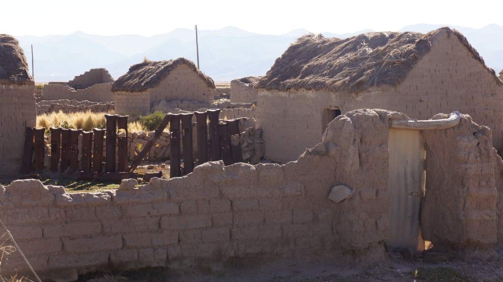
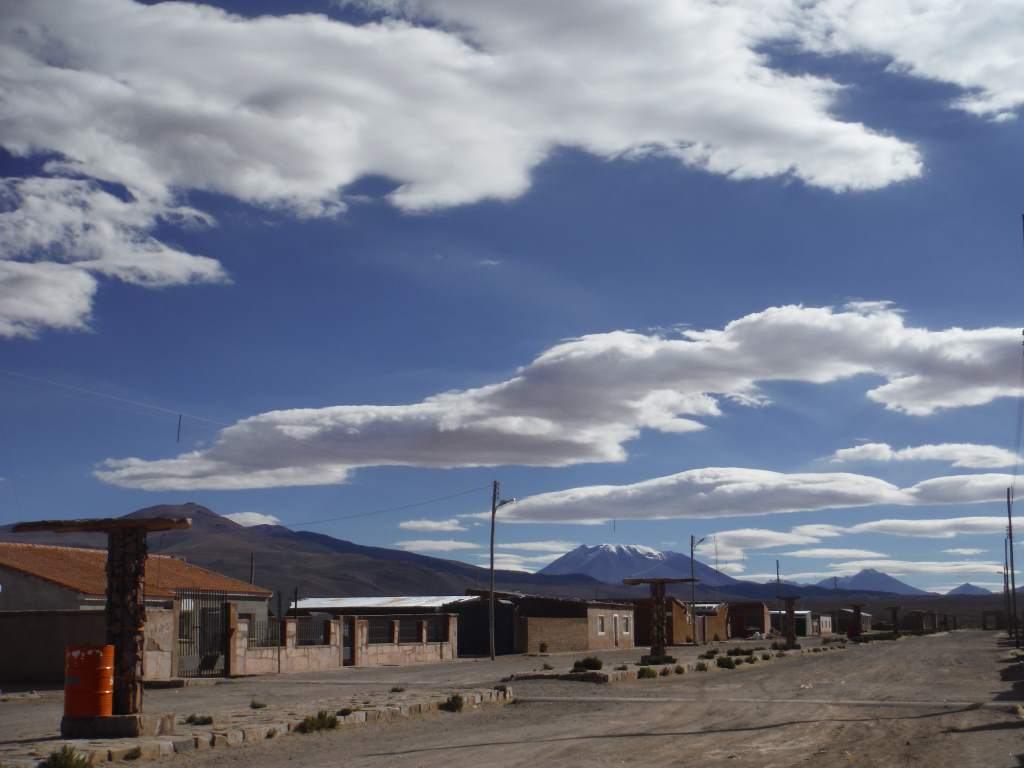
Small town in Bolivian Altiplano

Small town in Bolivian Altiplano

Quinoa, up close and personal.

Quinoa, up close and personal.

Us and the Kiwis!

Us and the Kiwis!

Welcome to Bolivia: Scenery, altitude, and roads in the sand

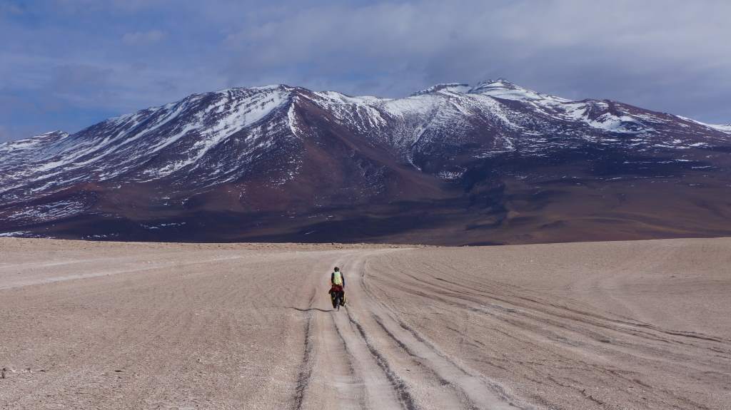
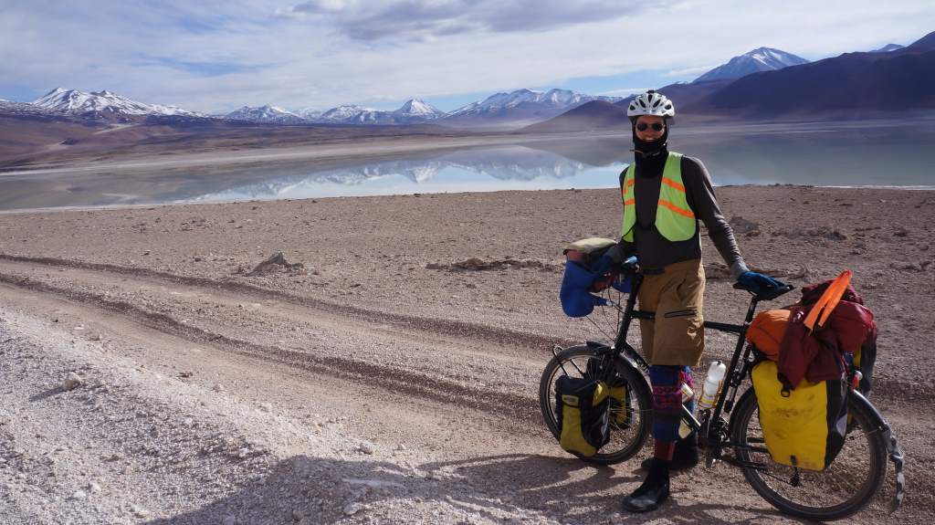
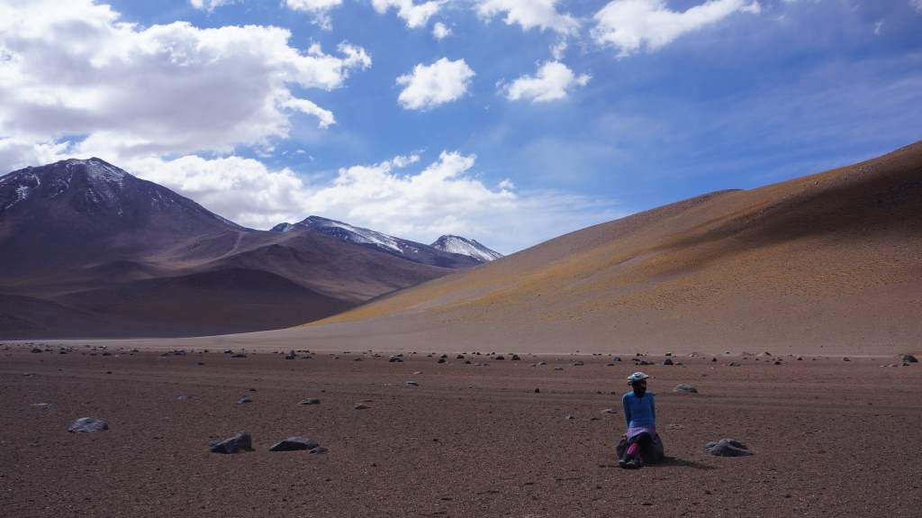
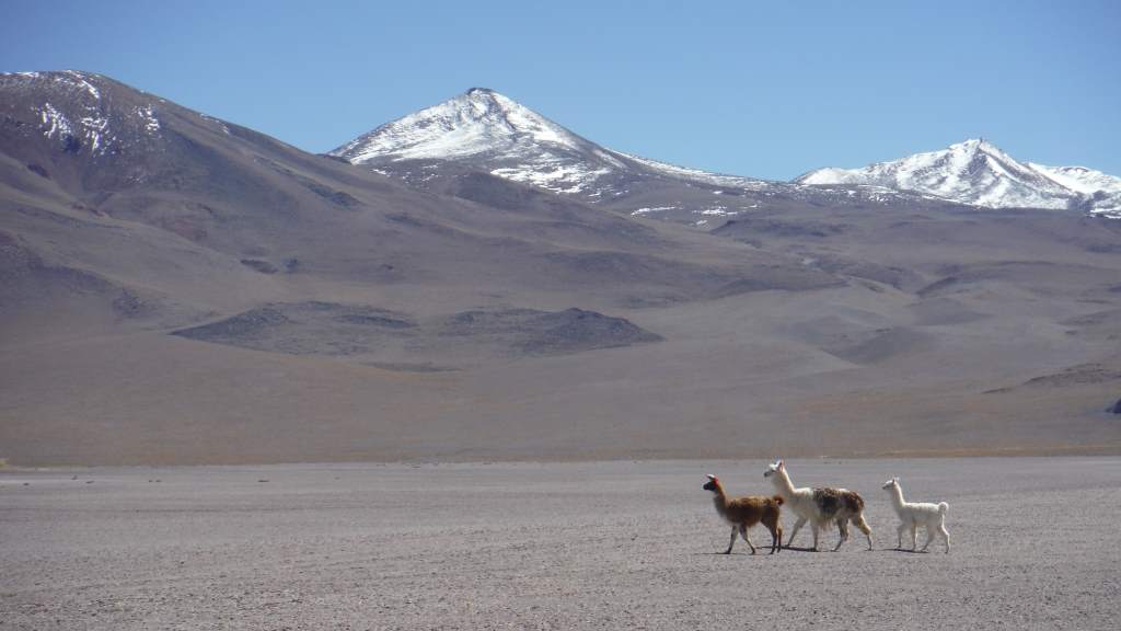
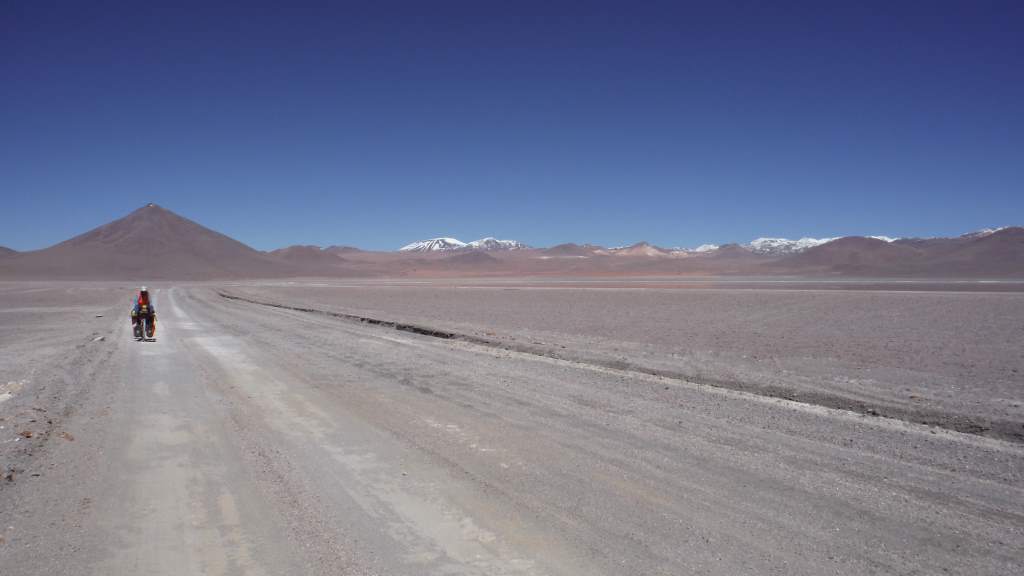
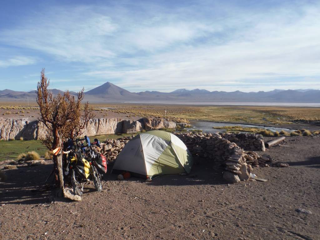
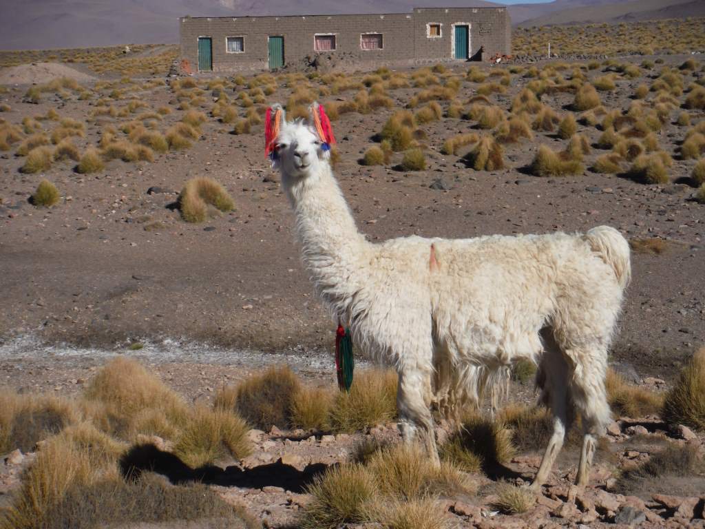
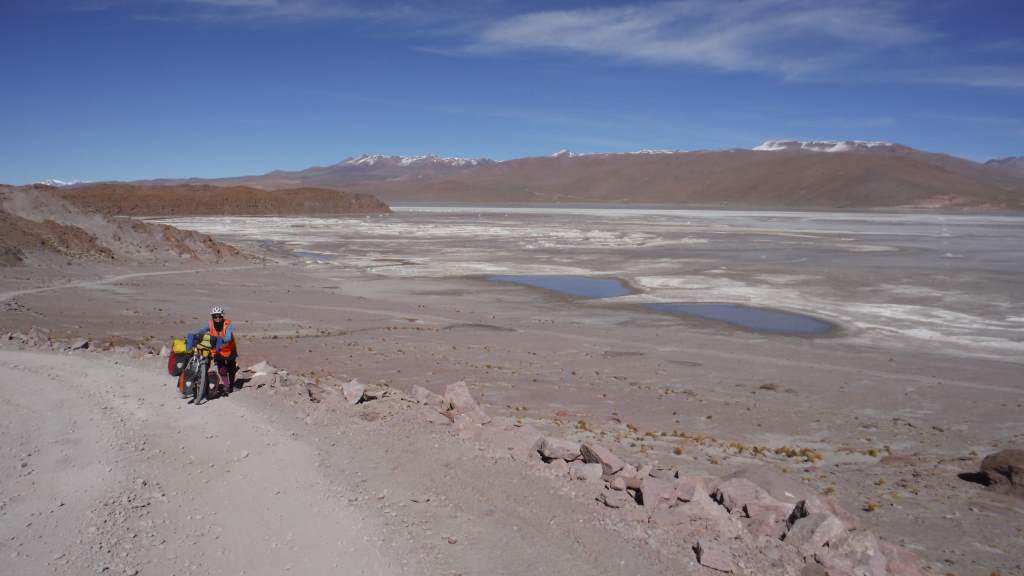
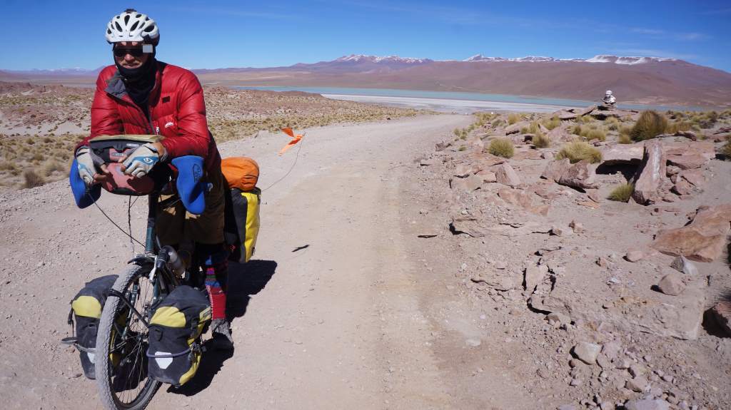
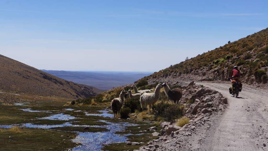
famblog_lagunasThe last nine days of riding have been by far the most difficult of the trip.  Of course, they have also been among the most scenic, otherworldly, and downright surreal.  Leaving San Pedro we climbed 7,700′ (2260 m) and entered Bolivia, country number six.  We then proceeded to spend the next five days above 14,000′ (4300 m) as we rode very slowly through the Bolivian Lagunas.  Up here in the altiplano we have seen too many llamas to count, a string of colored lagoons, snow-topped volcanoes, hot springs, tiny villages, and even other cyclists.  As you will see from the photos, this is adventure riding at its best.  What you won’t see from the photos is how brutally hard it was.  I will try and include some stories about that in the narrative!  Note, this post is a tad longer than normal with a ton of photos.  What can I say, it’s been an incredible section of riding.

How could we skimp on photos when the scenery is this good?

How could we skimp on photos when the scenery is this good?

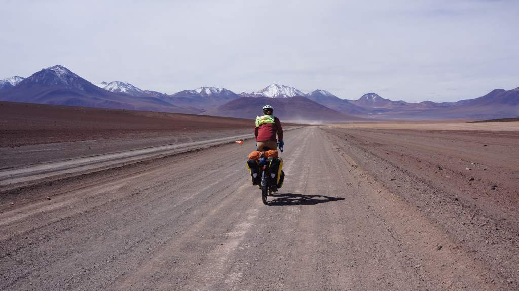
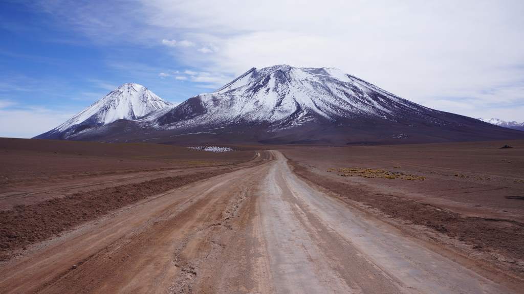
Leaving San Pedro was exciting for us, even though our bikes were heavily loaded with eight days worth of food and two days worth of water.  It was only 28 miles (45 km) to the top of the climb, but it would take us a day and a half.  The road wound up and up the same hillside, so our entertainment was in watching the huge Volcano Licancabur draw slowly closer.  Some sections were so steep that we were forced to push the bikes for miles at a time.  Even pushing, we could hardly go more than a tenth of a mile without resting to catch our breath.  We called it a day after only 20 miles (32 km) and made camp.

The climb is straight up that wall just to Jason's left.

The climb is straight up that wall just to Jason’s left.

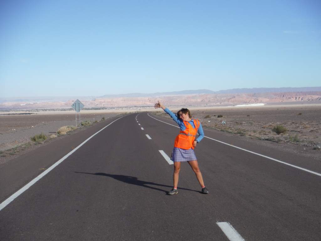
I got a new safety vest before leaving town.

I got a new safety vest before leaving town.

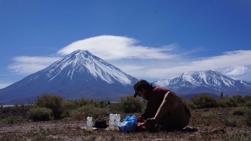
A fantastic spot for lunch.

A fantastic spot for lunch.

Up up up.

Up up up.

Jason looks classy in my jacket...?

Jason looks classy in my jacket…?

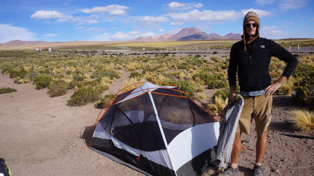
A pretty scenic spot to spend the night.

A pretty scenic spot to spend the night.

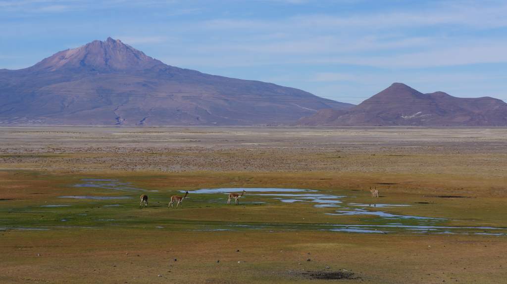
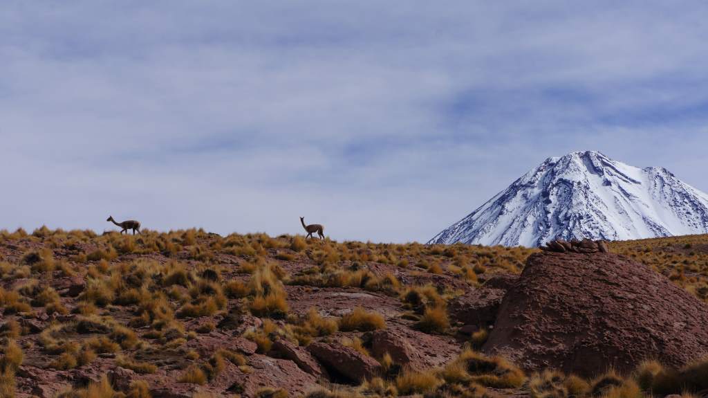
Vicunas (like llamas but wild) near the top of the climb.

Vicunas (like llamas but wild) near the top of the climb.

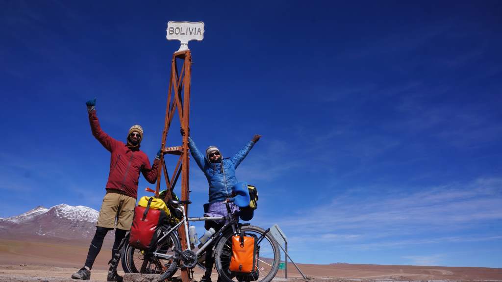
The next day we triumphantly finished the climb, topping out at 15,300′ (4665 m).  It was cold and windy up there, so we were glad to turn downhill and enter Bolivia.  We were granted 30 day visas by the friendly border guards and we rode off along a sandy road into a national reserve of Andean fauna.

Country number SIX.

Country number SIX.

Downhill (for a bit) into Boliva.

Downhill (for a bit) into Boliva.

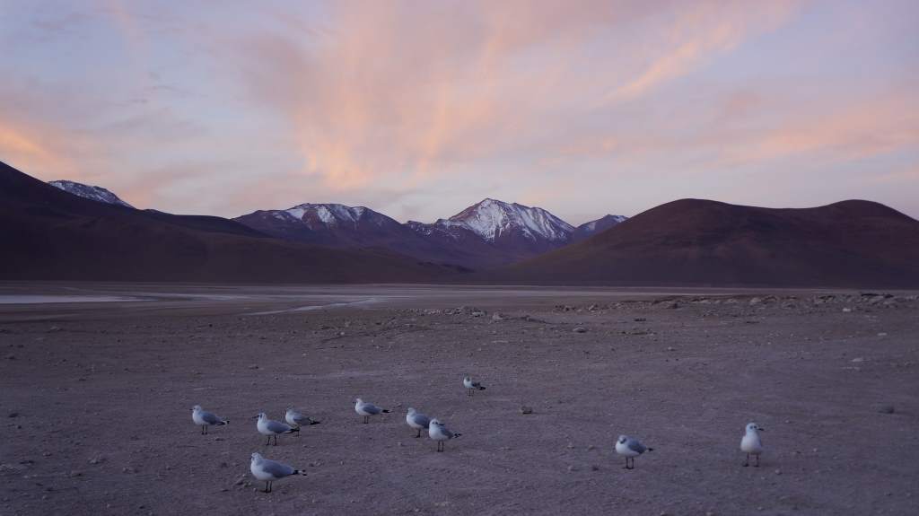
Seagulls at 14,000'.

Seagulls at 14,000′.

Apr17_014That first night we spent in a simple refugio with warm blankets. Even inside our room  it was near freezing.  Up here the nights are incredibly cold  despite being technically in the tropics.

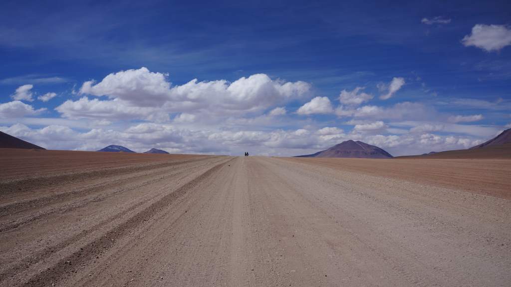
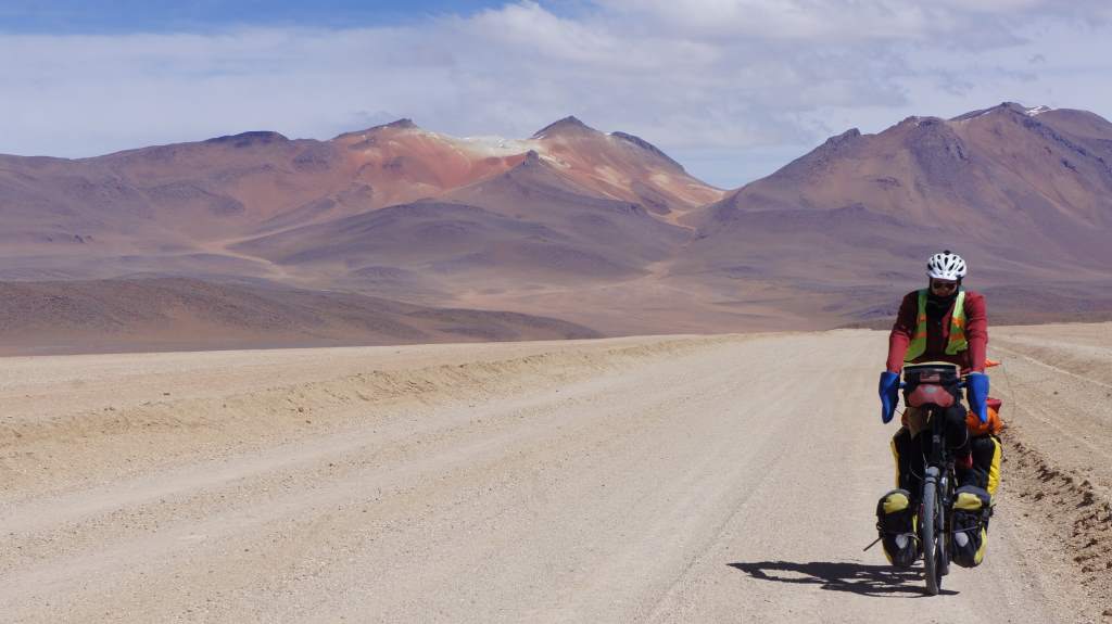
The next morning we set off into the sand to make our way around two lagoons, over an even higher pass, and finally to a thermal pool for a bit of relaxation.  Riding around the lagoons involved choosing our own path among the many sandy tracks created by tourist jeeps. It was a bit like a choose your own adventure book, but more “choose your own torture”, as most of the tracks alternated between jostling us senseless and sucking our wheels into deep sand.

Apr18__005 Apr18__006 Apr18__008

Apr18__011Eventually we joined a more major track and started a slow climb back up to 15,300′.  As we climbed we started to see bicycle tracks, and as we neared the top a pair of large, slow moving rocks became two cyclists!

After a brief chat with Anna and Ernesto, two young  Brazilians, we agreed to meet at the upcoming thermal pool.  What a wonderful pool it was too! Way up high in the frigid plains a volcanic hot spring bubbled up, creating both a tourist destination and a warm oasis for flamingos. We were allowed to sleep on the floor of a nearby dining hall, and had a fantastic soak with our new friends.

Apr18__012

Two little cyclists appear in the distance.

Two little cyclists appear in the distance.

Apr18__019

Soaking in the thermal pools.

Soaking in the thermal pools.

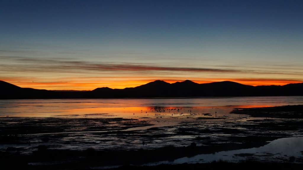
Spring-fed lagoon at sunrise.

Spring-fed lagoon at sunrise.

We left our new Brazilian friends behind after the hot springs.

We left our new Brazilian friends behind after the hot springs.

Pushing slowly up.

Pushing slowly up.

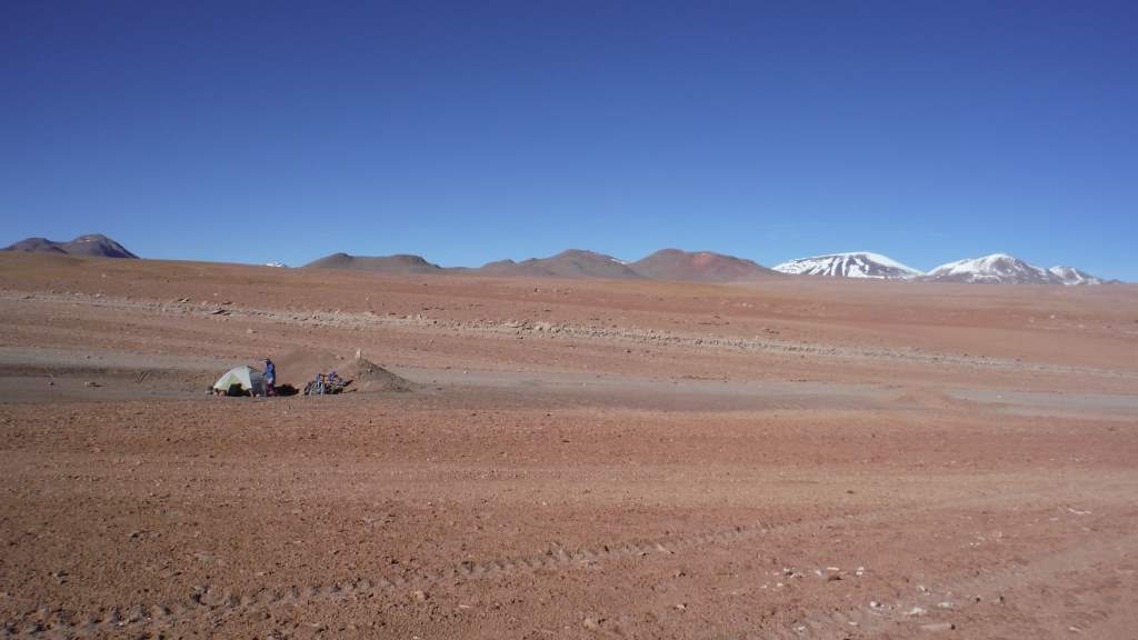
The next day was a true challenge.  In the morning we wound our slow way up a high pass.  When I say ‘high’ I really mean it: we topped out at 16,200′ (4940 m).  We were gasping for air and fighting a vicious cold headwind.  The plan was to descend nearly 2,000′ (600 m) before camping, but the road surface became absolutely horrible and our progress slowed to a crawl.  We were forced to camp at 15,600′ (4750 m ) in the inadequate shelter of a dirt pile.  As soon as the sun set the temperature plummeted.  We wore all our clothes, zipped the sleeping bags together, and settled in for a shockingly cold night.  Just before dawn our thermometer read -6 degrees F ( -22 C).  Our breath had created ice on the sleeping bags themselves, and any water that we hadn’t brought in the bags with us was frozen solid.  Mostly, we were just happy to have survived.

Can you find our tiny tent?

Can you find our tiny tent?

Freezing cold in the morning.

Freezing cold in the morning.

After that unreal night we took two very short days to recover some strength.  There were more sand roads, more lagoons, flamingos, and llamas.  We spent two more cold nights in the tent, but nothing approaching the dangerous cold of that one night.  Some pictures from these days:

Apr20__005 Apr20__009 Apr20__010 Apr20__014 Apr21__001 Apr22__006

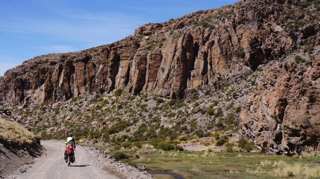
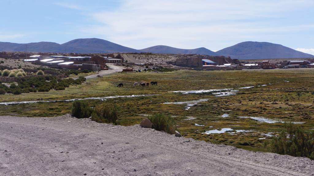
On our sixth day in Bolivia we finally descended from the very high plains to the high plains.  It was a lovely ride down a canyon populated by llamas and tourists in jeeps.  At the bottom we rode through a wide valley to a small village.  It was with great excitement that we found beds in a simple hostel. For dinner the hostel owner made us delicious llama steaks and vegetable soup.  Finally we spent the night warm and snug in real beds.

Apr22__007 Apr22__010

So many jeep tourists drive through here, stopping only to get a handful of photos.

So many jeep tourists drive through here, stopping only to get a handful of photos.

Apr22__016 Apr22__018

Our first Bolivian village in the background.

Our first Bolivian village in the background.

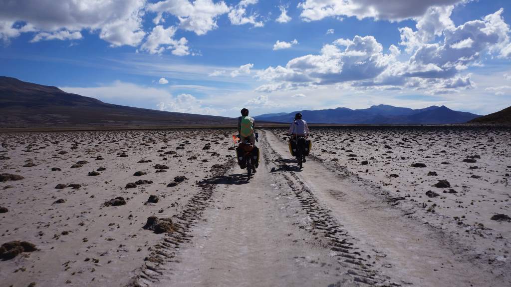
The next day we descended even further to 12,600′ (3800 m).  The air here was starting to feel thick and oxygen rich!  Just outside the next village we met two more cyclists: Emma and Debbie.  They are two women from New Zealand on a 6 month trip  and they are tough as nails.  We had a great evening with them in another hostel, and they convinced us to take the flat road into the next major town.

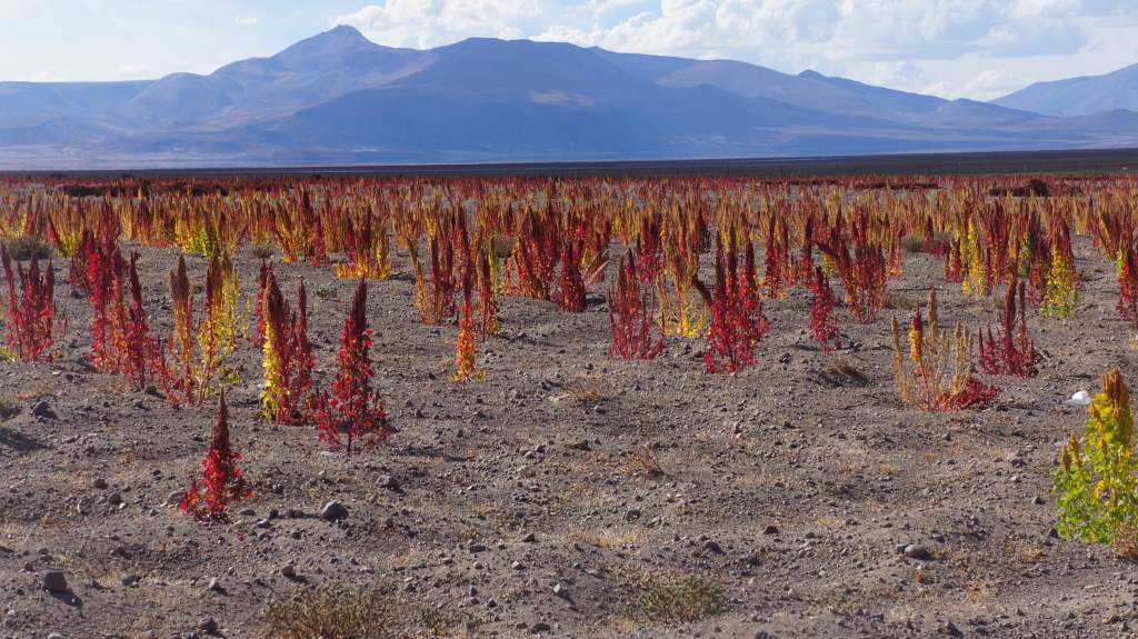
Quinoa fields in Bolivia.  It's hard to believe we're actually here.

Quinoa fields in Bolivia. It’s hard to believe we’re actually here.

Apr23__010 Apr23__009

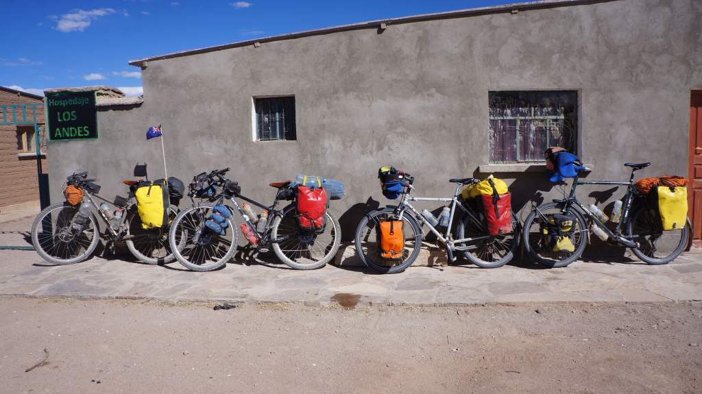
Four bikes at a hostel.

Four bikes at a hostel.

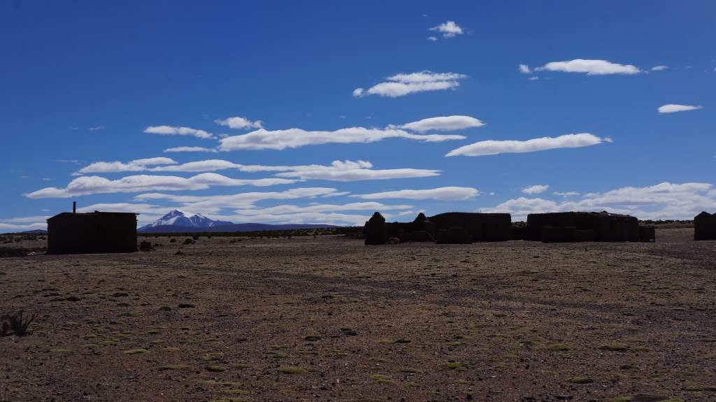
A quiet Bolivian village.

A quiet Bolivian village.

After a day of flat, fast riding we camped with them in a wide field, and the next day we rode together to the dusty frontier city of Uyuni.  After nine days of truly remote riding, we were all overjoyed to enter a full service city.   Together we did an extensive hotel search before settling on a backpackers hostel.  Sure, it is a bit pricey ($10 US per person), but the bunks are comfortable and warm, breakfast is included, and the internet actually works!

We are resting for a day here and enjoying our time with Emma and Debbie.  They are super fun and have tons of good stories.  Tomorrow we will leave this comfort to start another iconic adventure: riding the Salar de Uyuni, the world’s largest salt flat.  It might be a bit before we can update (again). Maybe that’s the new norm for us now that we’re in Bolivia!
The Atacama Desert, part 2

CaptureNow that we’ve shared our experiences travelling through the flood ravaged areas of Northern Chile (in the last post), we can focus more on our experiences pedaling through the utterly vast and barren expanse that is the Atacama.  From Chanaral it was 4 long days of riding to the next populated area.  In this time our only resupply areas were small posadas, which are roadside diners that mainly cater to truckers as they drive across the desert.   We witnessed stunning sunsets and sunrises, were awed by the stars, visited a famous (and massive) sculpture of a hand rising from the desert, and were welcomed into the home of a wonderful Chilean family.  In short, it was an incredible week of riding!

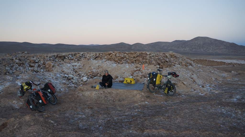
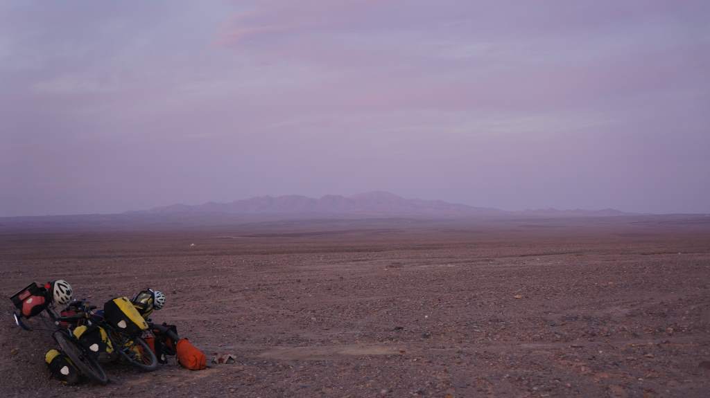
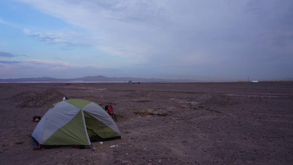
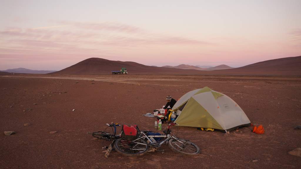
One of the best things about this part of the desert is how easy it is to camp.  There are no spiny things to worry about, no mosquitoes to sting us, and no ants to eat our tent.  We can walk off the main highway and set up just about anywhere.  Once night falls, the wind dies down, traffic tapers off, and it’s like we have the whole vast expanse to ourselves.  We spent a few nights camping this way:

Apr09_001

Apr10_012 Apr11_001

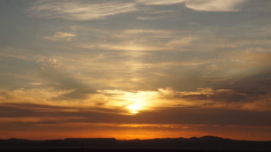
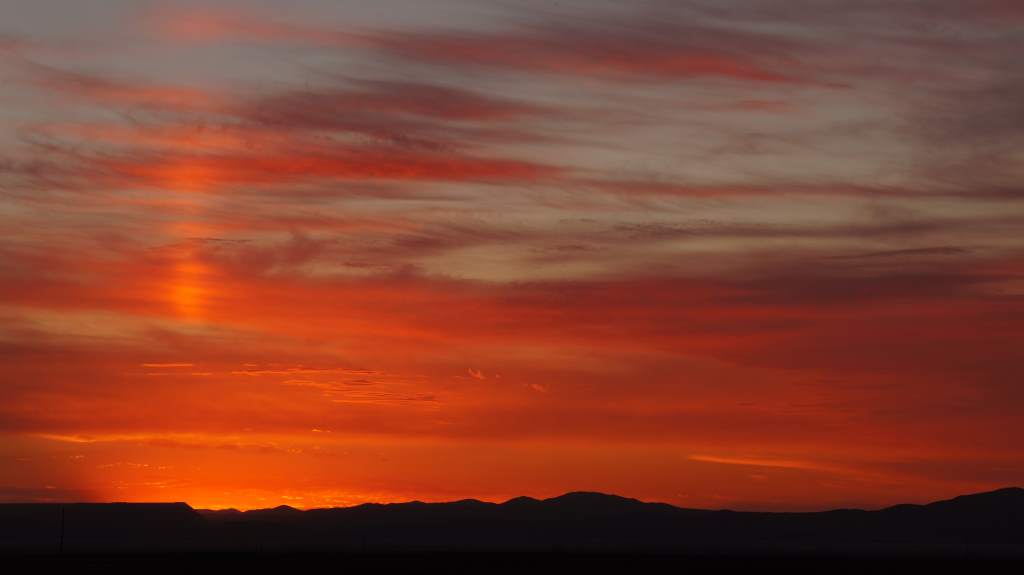
We saw some incredible sunsets and sunrises, too:

Apr10_010 Apr10_013 Apr09_003 Apr09_004

Apr08_007At the posadas we often stopped to get their fixed lunch menu and to fill up on water.  In the US, restaurants are expected to have multiple menu options, but that is not the case here.  We love it that the offerings are simple, hearty fare for a very cheap price.  For example, we got a small salad, a bowl of hearty chicken soup, and a plate of fried fish with rice for a whopping $5.50 each.  And this in the middle of the desert!  Our options were chicken or fish with the rice, but they had already run out of chicken.  At another place we decided just to get the soup, and were surprised when Jason’s dish arrived with a chicken neck included!

Apr07_002


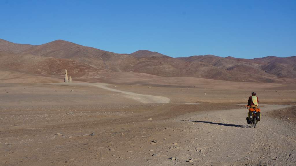
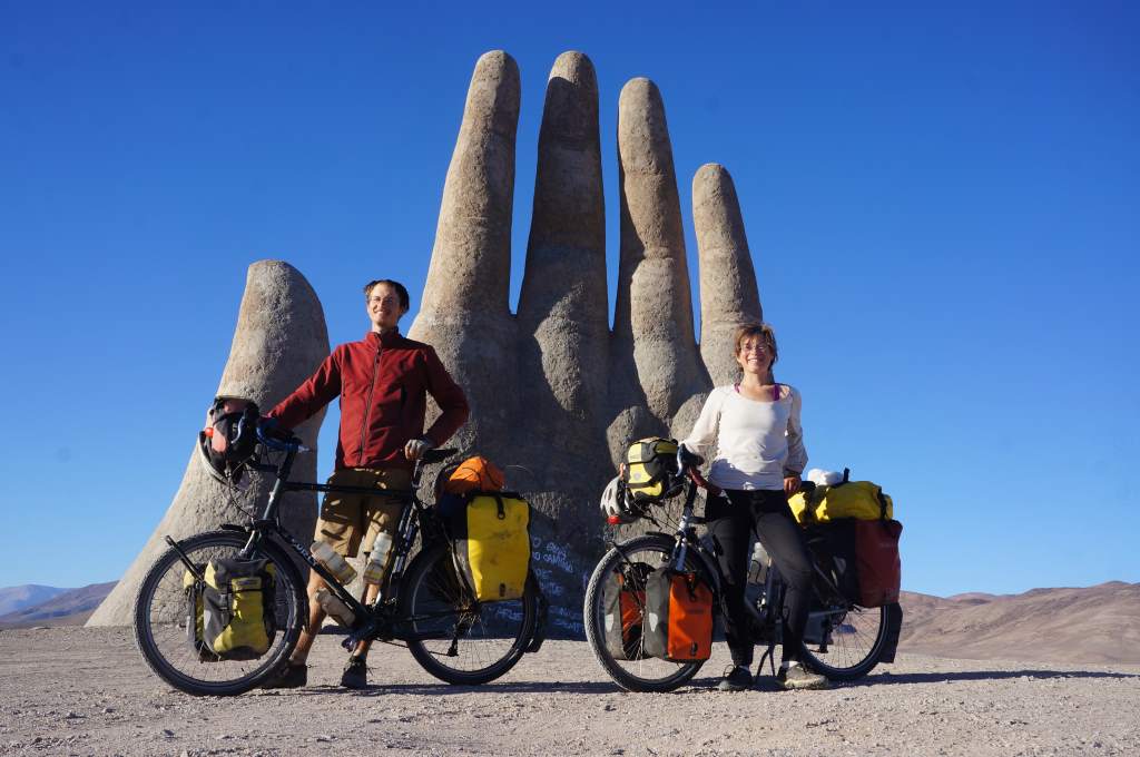
Apr08_004 Apr10_006The posadas were sometimes few and far between, at one point we had 101 km between them.  For this stretch we simply carried lots of water and kept pedaling.  Luckily, the winds were with us for most of the uphill stretches.  Over the course of two days we climbed up up up to 7,000′ elevation.  Of course, that also means we got to go down down down for the next two days!  During the descent we came across the iconic concrete sculpture of the ‘Mano del Desierto’, or ‘Hand of the desert’.  It is simply a giant hand that rises out of the featureless sand.  Of course, we had ourselves a little photo shoot.

Apr09_005 Apr09_006 Apr09_007

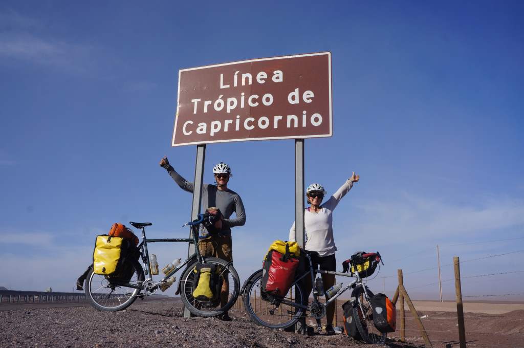
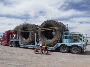
Apr09_009We skipped one of Chile’s largest cities, and continued north towards Bolivia along the main highway.  We passed some absolutely massive copper mines.  The tailings from these mines are piled up in such a way that they appear to be mountains.  Upon closer inspection they are giant terraces upon which over-sized dump trucks drive and deposit their loads.  It was just as we passed our first mega-mine that we also hit another big trip milestone:  the tropic of Capricorn.  It’s hard to believe that we’ll be in the tropics for the remainder of our trip.
Apr09_010

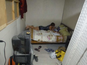
That same night we slept in a funky hostel run by a retired miner who had built a number of Apr09_013small rooms next to his house.  Our room was mostly finished, but still had stacks of mattresses and smelled like paint.  We had privacy though – he came in and nailed up a blanket over the room’s window for us.  Ha!

The next night we camped in the desert again, but this time the stars were almost overshadowed by all the bright lights from the surrounding mines.  We are truly in copper country now.  Chile has some of the world’s richest copper deposits, and is home to the world’s largest open pit copper mine.  Clearly, mining is king around here.  We got to spend some time with many of these miners just the next day.

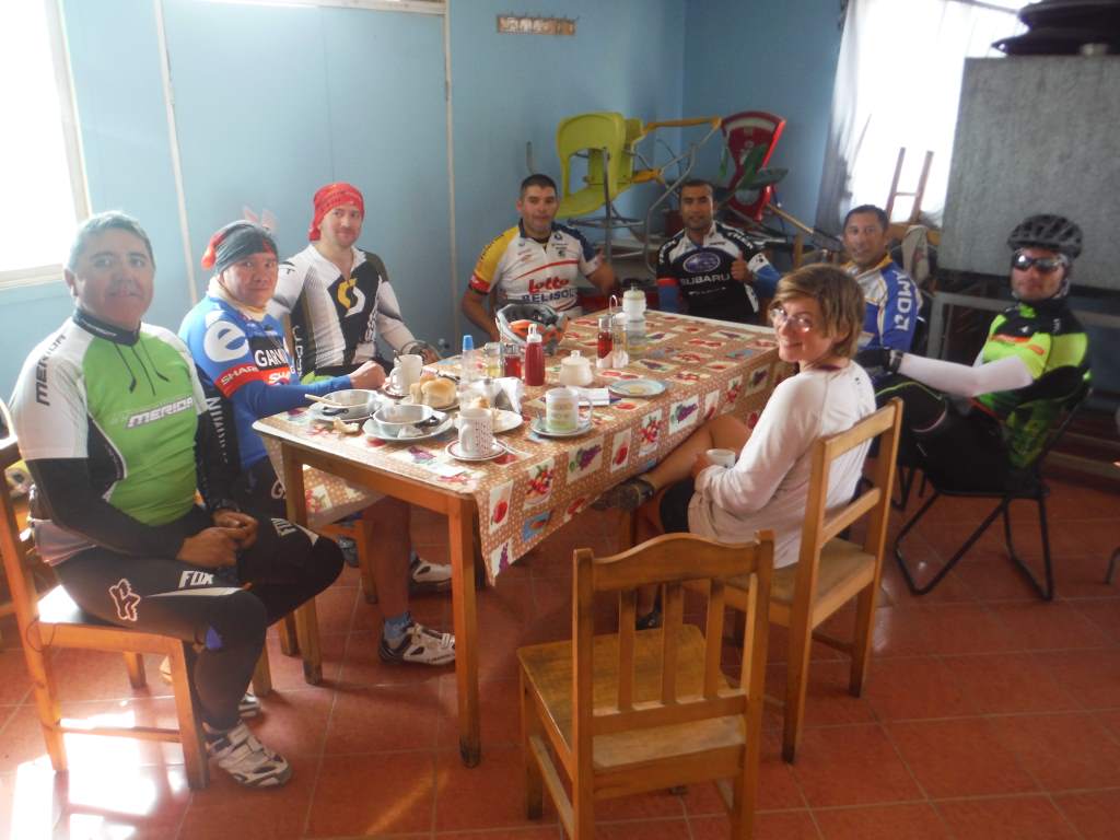
Apr10_003We met a group of mountain bikers in a posada, and they invited us to share a second breakfast with them.  Of course we accepted (well, Jason did, I just had coffee).  What followed was a fun hour of chatting and laughter.  One cyclist, Eduardo, invited us to his house in Calama and drew us a lovely little map.  We all set off from the posada at the same time and started pedaling up the hill towards the city.

Apr11_002

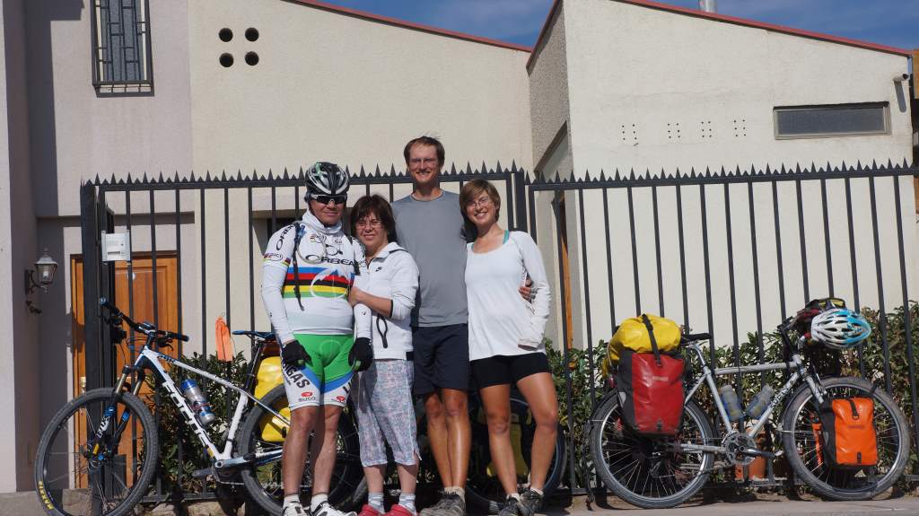
Apr11_009We soon learned that cycling on pavement with heavy bikes is easier than cycling on the dirt with light bikes.  Shortly after leaving we passed all the mountain cyclists!  We decided we had to stop and take a long rest to give Eduardo a chance to get back to his house before us! It was still a nice ride, and we received a warm welcome from Eduardo and his family.  They even organized a Chilean barbecue (asadero) in our honor.  We got to spend the evening drinking Chilean wine and laughing with the cycling guys we met earlier.  Thank you all so much!

Apr12_001

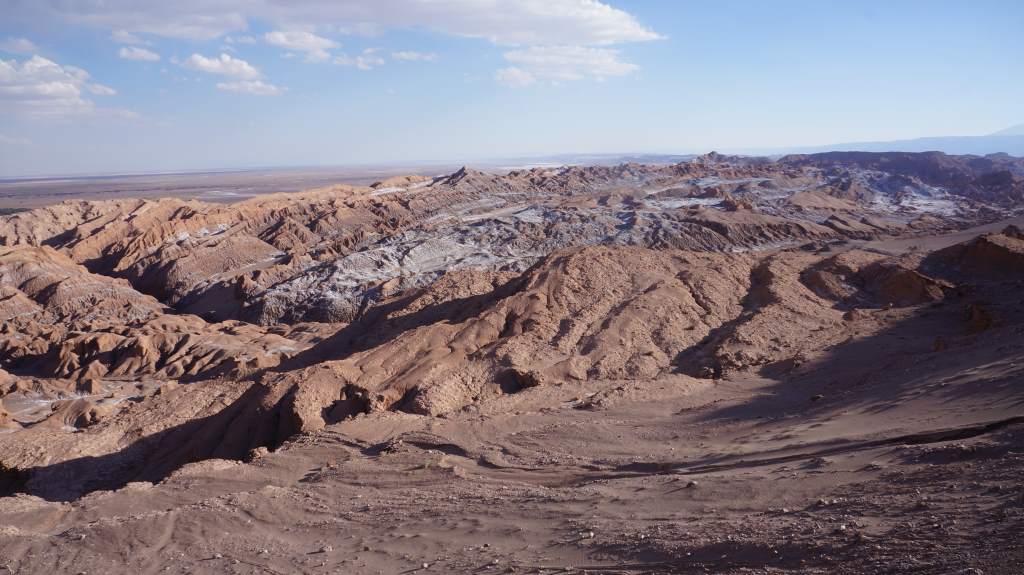
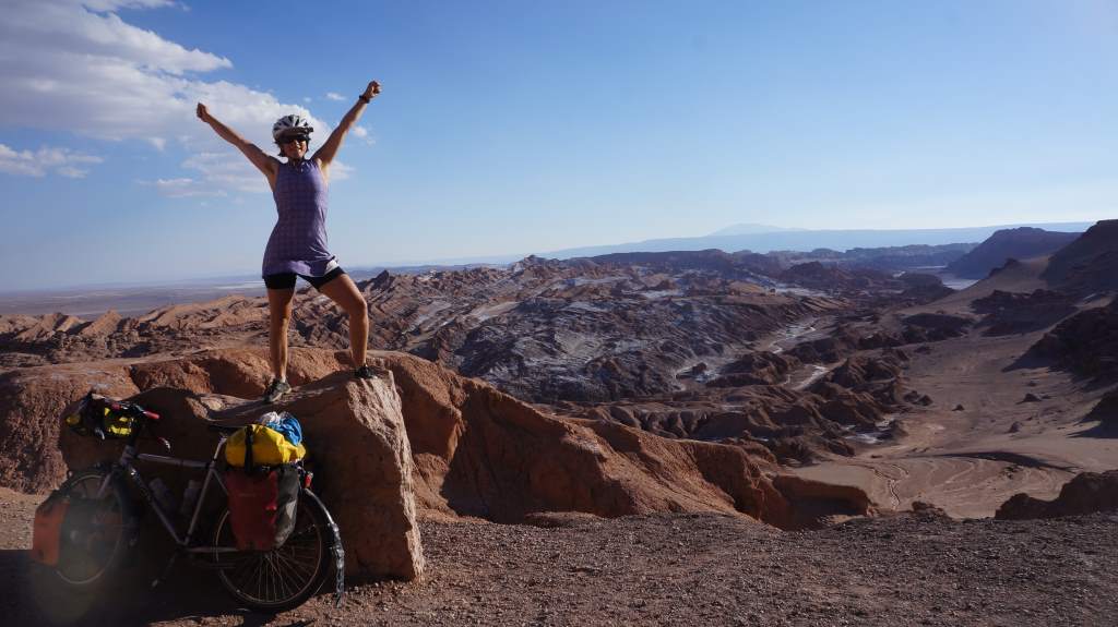
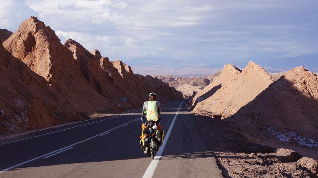
Apr12_002Despite being up late at the party, the next day we headed off towards the tourist town of San Pedro.  We climbed up and up to 11,240′ of elevation.  This is the highest we’ve been in our entire lives!  As we descended towards town we passed many lovely rock and salt formations.  Towering above the town is a string of volcanoes along the Chile-Bolivia border.  We are spending 3 days resting here, and acclimating to 8,000′ before climbing ever higher into Bolivia.

Apr12_012Apr12_013 Apr12_017 Apr12_015


Next up, we’ll pedal to over 14,000′ into Bolivia and stay there for weeks as we ride dirt roads through scenery that promises to amaze.  Don’t be surprised if we don’t update for a while though, as we expect internet to be increasingly scarce and precious during this stretch.  We are very excited to enter a new country!

Apr12_006

The Atacama desert, part 1

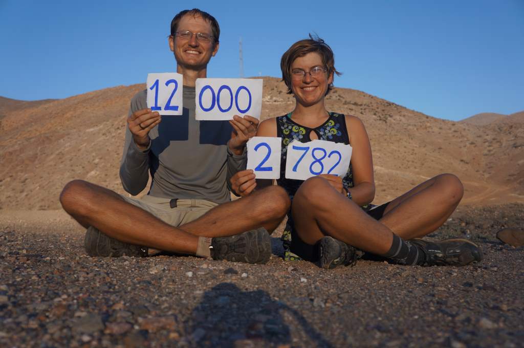
CaptureWe just completed 12 days and 760 miles of riding through the world’s driest desert.  When we started on this route we imagined high temperatures, blowing sand, and the potential for days without water.  We were also very worried about supplies and road conditions, since the major towns were severely damaged by flooding a mere week earlier.  In spite of our worries, we sincerely enjoyed this challenging and desolate stretch of road.  The temperatures were bearable, the wind was almost always at our backs, and we never had to carry more than one day’s worth of water. Oh, and we hit 12,000 miles!

In the Atacama desert.

In the Atacama desert.

Apr04_009In this update we will share our journey from the lovely city of La Serena through the flood-ravaged towns of Copiapo and Chanaral.  In Copiapo we had to ride in streets coated in a thick layer of mud, and in Chanaral we saw the destruction that flash floods are capable of.  It’s been a wild ride, but let’s start at La Serena, on April 1.

The excitement began before we even left town – there was a 5.5 magnitude earthquake that shook us out of our beds at 5:20 am.   We both awoke with the motion, but Jason was much faster to realize what was happening.  He shouted ‘doorway!’, and we leaped out of our beds to huddle together in the doorway.  Doorways are a bit more structurally sound than ceilings, so they provide a bit more protection in case the building falls down.  It was over quickly, but we were a little out of sorts.  That was scary!

As we left the seaside city we had lots of climbing to get into the higher valleys of the desert.

Tendrils of fog creeping over the mountains into the desert.

Tendrils of fog creeping over the mountains.

We spent most of the day coated in a thick layer of marine fog before emerging suddenly at the top of a climb.  Suddenly we were in the real desert.  We hit 12,000 miles and decided to camp in the soccer field of a small town (with permission of course!).  It was a good introduction to the desert.

Big desert roads.

Big desert roads.

Morning visitor at our soccer field camp.

Morning visitor at our soccer field camp.

The next day we once again awoke to another earthquake.  This one was only a 4.9 magnitude, but we still got woken up.  We weren’t as worried this time though, as we were quite confident the tent wasn’t going to collapse around us.

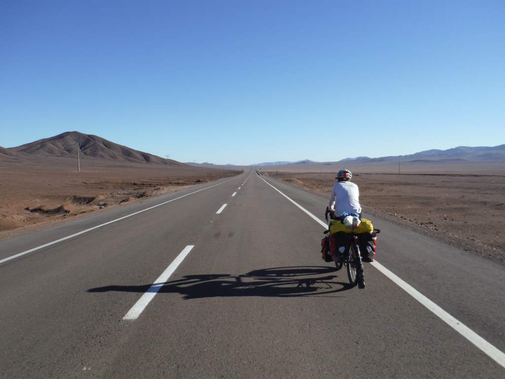
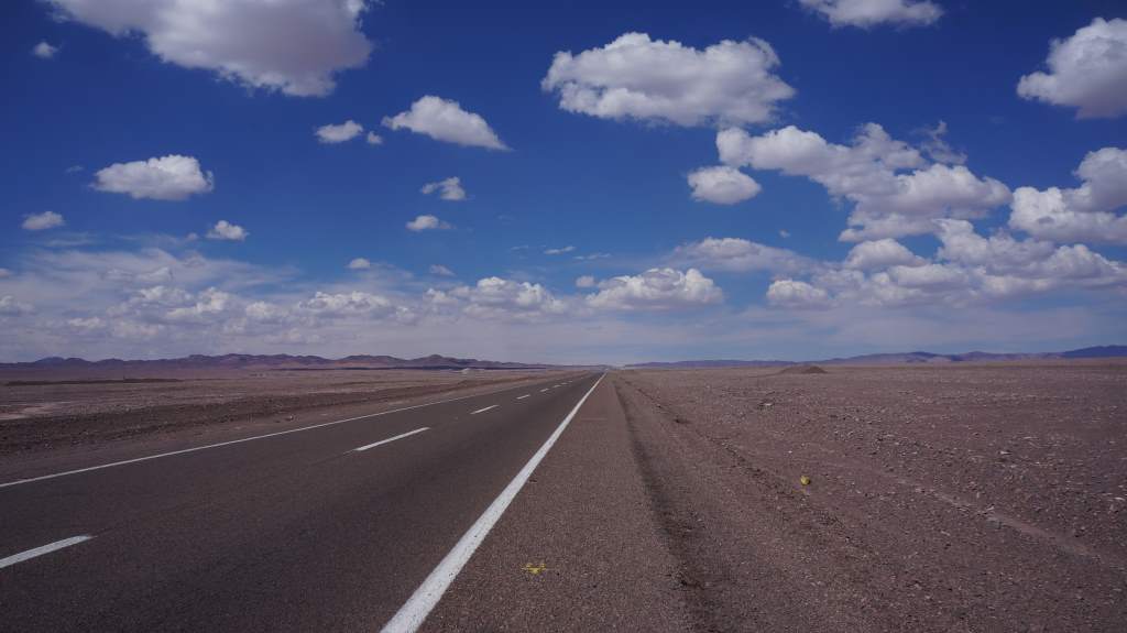
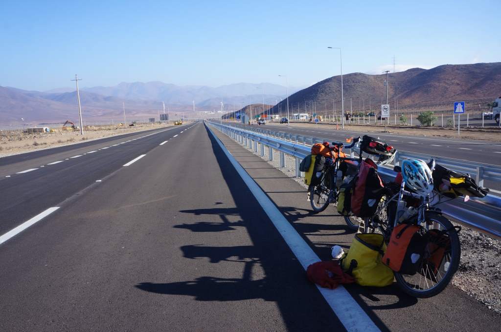
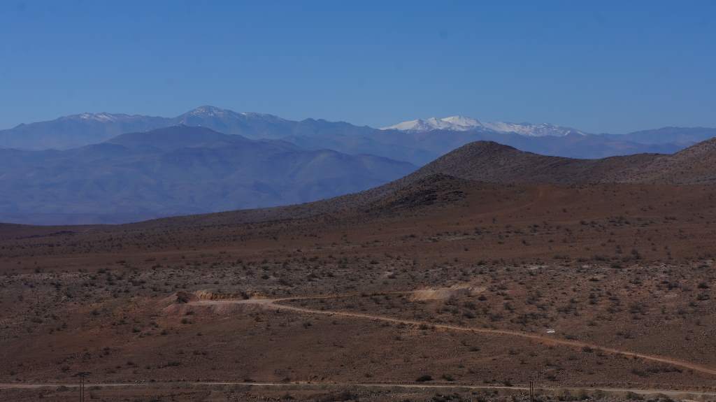
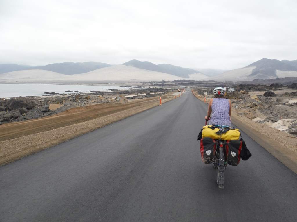
From there it was just long, straight roads through the desert with the occasional long climb.  We were very lucky with road construction, and had one half of a divided highway all to ourselves for well over 50 miles.  It was a dream bike path through the desert.   Something that we really noticed these past days has been the true vastness of the desert.  It is so big, and so stark, that it messes with our sense of scale.  Sometimes we can’t tell how far away things are, and what we think are small rock are in fact distant boulders the size of a house.

Apr01_010Apr03_007 Apr02_007

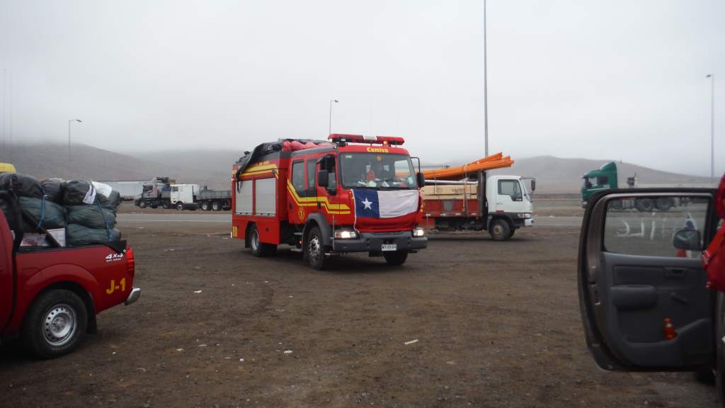
We saw a surprising amount of pick up trucks, cars, and firetrucks draped in Chilean flags and driving north.  They were all packed with emergency supplies like food, water, toilet paper, and clothes.  These folks were driving themselves to the north to help the disaster relief.  It was surprising and uplifting.  Chileans are no stranger to natural disasters, and seem to jump at the chance to help each other out.

Firemen driving supplies and volunteers north.

Firemen driving supplies and volunteers north.

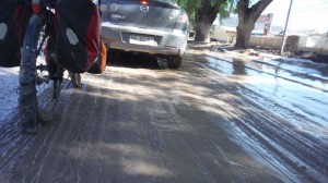
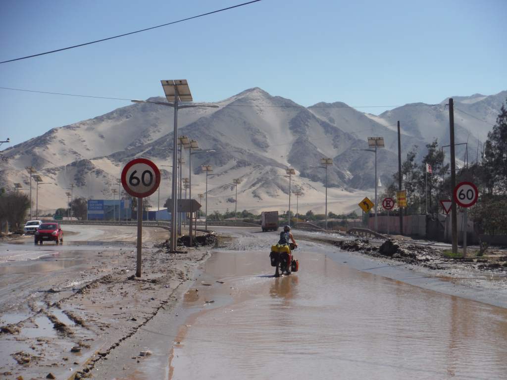
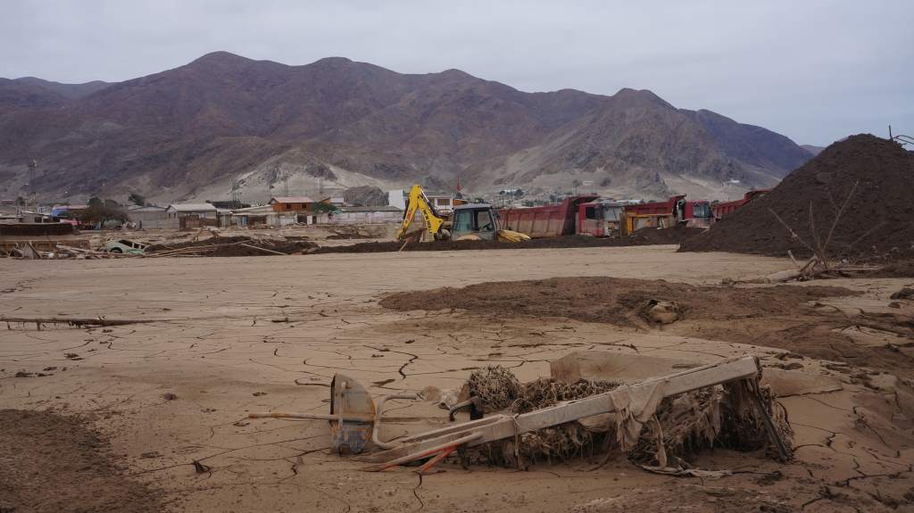
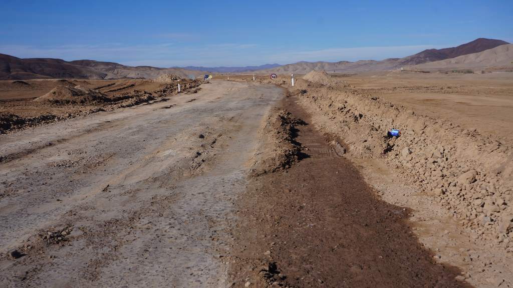
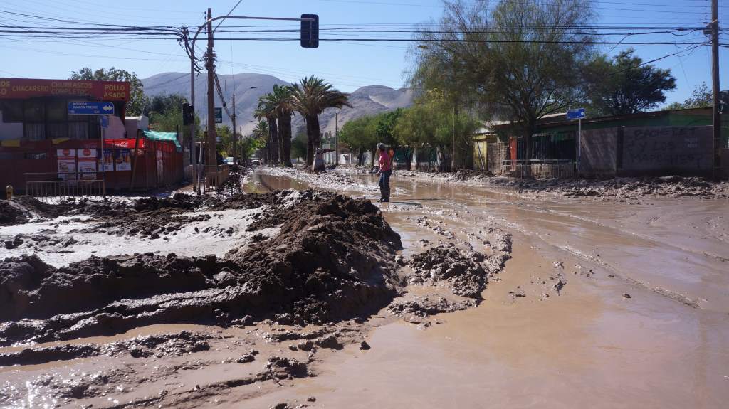
After 3 days we came to the big city of Copiapo.  This is a city that powers the entire region with the money from copper mines in the hills, and about a week ago it was hit by a flash flood following torrential rains in the mountains.  When we arrived we were blown away by the amount of mud still coating everything.  The main road was barely passable and coated by a thick layer of mud, and oftentimes standing water.  The side roads?  We didn’t even dare explore them, but we would occasionally see earth-moving machines pushing small floods out of them and onto the main road.

Apr04_010

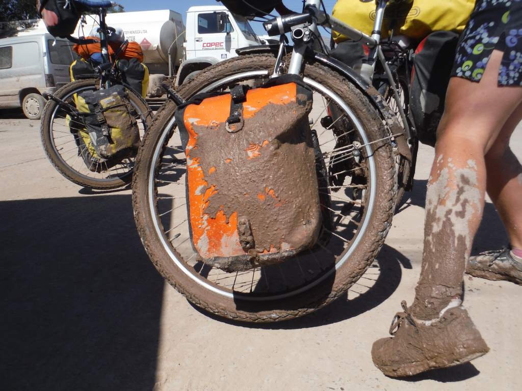
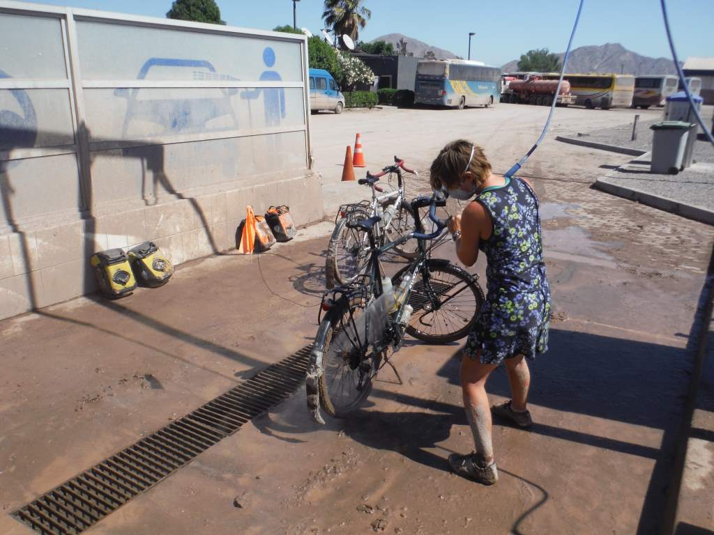
Apr04_012Because the sidewalks and bike paths were impassable, we were forced to ride through the muck in traffic.  At times the mud was 4 inches thick, and at times we were riding through standing water.  Needless to say, when we finally emerged we were dirty, and our bikes were coated in filth.  Luckily, just a short ways out of town we found a gas station with a car wash. That’s right, we took the bikes (and ourselves) to the car wash.  2.5 hours later we were clean and back on the road.

Apr04_013

Apr04_014 Apr04_015The fun wasn’t over yet though.  We had two more mostly uneventful days of desert riding:
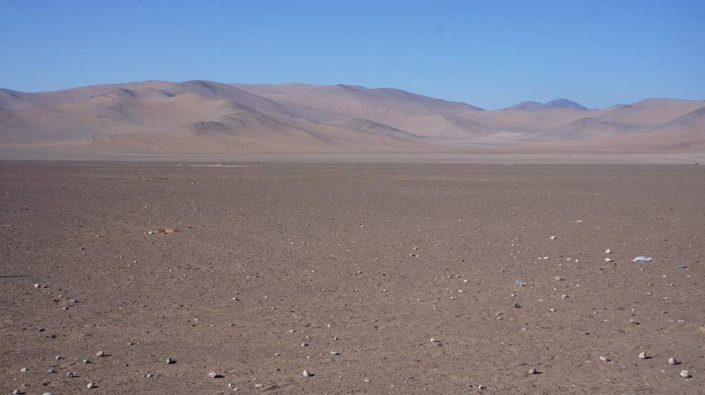
Nothing here.  Just sand and rocks.

Nothing here. Just sand and rocks.

Apr05_011

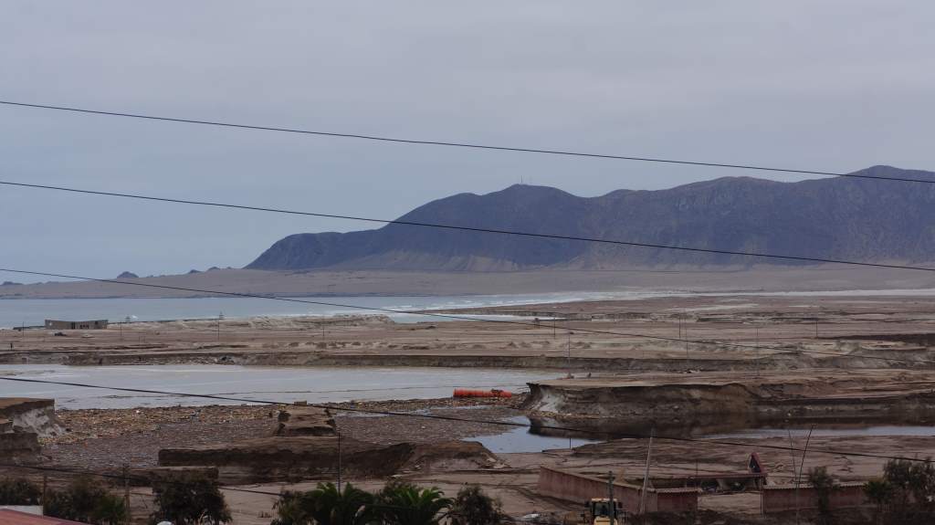
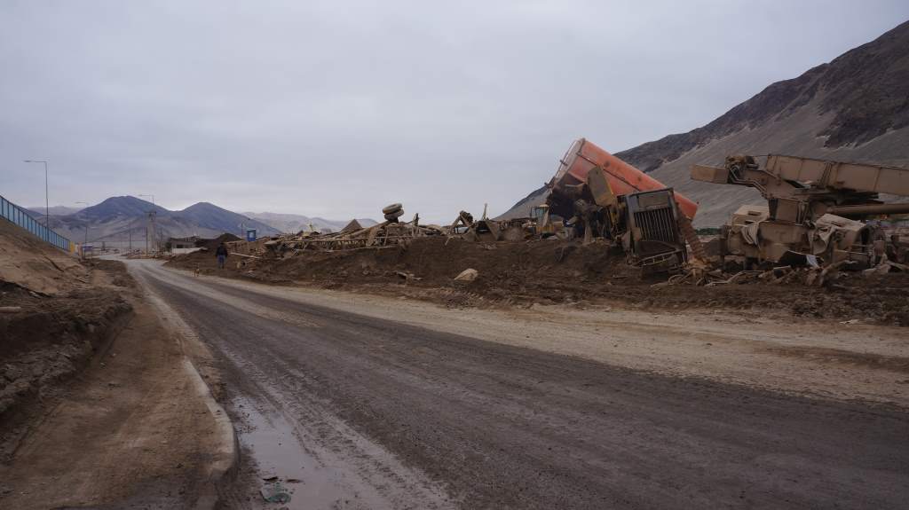
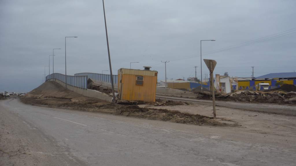
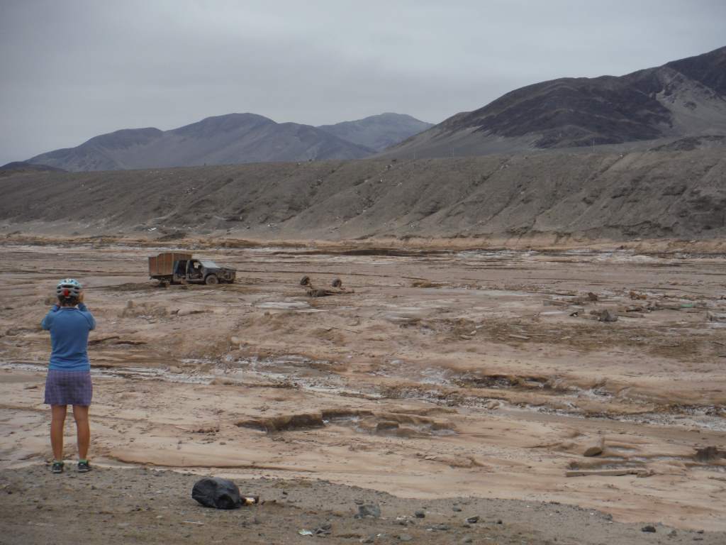
Next we reached the town of Chanaral.  This town had been built, really, in a place that should have been left free of human settlement.  It was at the outlet of a wide river valley draining a vast stretch of high-altitude mountains.  When the flash flood reached the town it came with massive force.  Large trucks carrying toxic waste from the nearby copper mines were turned over and over again, eventually coming to rest (ruined) in the mud.  Houses were swept away.  The main highway vanished and was literally washed out to sea.  All that was left was a new inlet where seawater crept closer to what remained of town.

There is supposed to be a highway here.

There is supposed to be a highway here. Excuse the power lines.

An alternate route had been created for traffic, so we could sneak through and witness the destruction.  It took us longer than expected because there was so much to see.

Apr06_006 Apr06_008 Apr06_007 Apr06_009 Apr06_010

Ultimately, we were happy to leave this area behind and head into the wide and isolated desert.  We loaded up our bikes with over 30 pounds of extra water and headed back into the hills. There were still scattered areas that had seen flood damage, and a surprising number of huge puddles in the desert, but for the most part the next section of riding was punctuated less with sad disaster areas and more with unique desert highlights.  More on that in the next update!

An alternate road we didn't take.

An alternate road we didn’t take.

Beautiful, stark camping spot int he desert.

Beautiful, stark camping spot in the desert.

More road damage - this is Chile's main highway!

More road damage – this is Chile’s main highway!