Author Archives: Daisy

The training begins!

We realized on Friday that there were only 77 days until the start of our tour, so we decided to ride 77 miles this weekend to kick-start our training.  The weather in State College has been so awful that we have been taking the bus to school, bringing our riding time down to nearly zero.  This weekend, however, was sunny and warm.  Perfect!

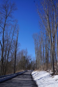
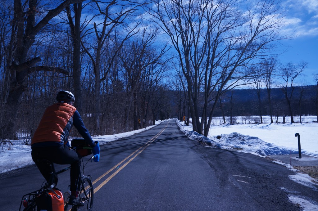
The snow is finally off the road!  A beautiful day to ride.

The snow is finally off the road! A beautiful day to ride.

We took off from school early on Friday and took a mostly peaceful 30 mile ride.  At one point, however, we got chased by three very aggressive turkeys in the middle of the road!  They were huge, with scary blue and red faces.  As we approached we saw them try to attack a pick-up truck.  We pedaled past as quickly as we could, but they pursued us for a moment even after we were safely away. That certainly got our blood pumping!

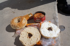
A lunch reminiscent of the Pacific Northwest

A lunch reminiscent of the Pacific Northwest

We rode a 47 mile loop on Saturday through farmland and small Pennsylvania towns.  The wind was pushing us along for the first half of the ride, so we made excellent time on the way out.  We stopped for lunch at a small church – yay for smoked salmon and bagels!

The terrain in central Pennsylvania is surprisingly varied, even in the valley that Penn State sits in.  On one side of the valley lays an abundance of small hills divided by streams.  On the other side the scenery is open and windswept.  We certainly noticed the wind when we turned around and came out of the trees.  A strong headwind accompanied us back.

Winter is still here - I cannot wait until there are leaves on these trees again.

Winter is still here – I cannot wait until there are leaves on these trees again.

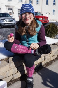
My favorite part of the ride was stopping at a little country store just north of the small town of Centre Hall.  They sell pickled eggs and beets for 50 cents an egg.  Each egg includes one pickled beet.  We stopped for a rest to eat the bright pink eggs.

DSC08424

A pickled egg to match my socks!

During our tour, a 47 mile day will be typical, or even a little short, so we will need to get in shape to handle this kind of mileage regularly.  We were tired by the time we got back home though, it is only the beginning of training after all!

We hope to start doing overnights in late March when the weather is better and we return from a spring break trip out west.  Until then, we will try to fit in day rides anytime the roads are clear.

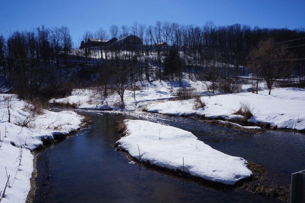
The streams were full from the snow melt everywhere we went.

The streams were full from the snow melt everywhere we went.

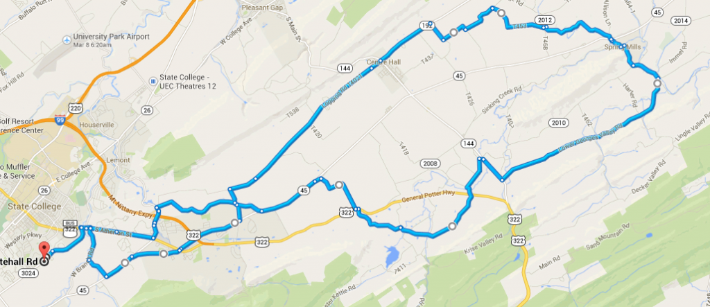
Here is a map of the route, for the interested.
47 mile loop

47 mile loop


Training in Spain’s Canary Islands – Part 2: Tenerife

A few weeks ago I wrote a post about riding on El Hierro, the smallest of all seven Canary Islands.  Over winter break I spent about a week there with my host family and my Brompton folding bicycle.  After the new year dawned (welcome 2014!) we caught a ferry to go to Tenerife, the largest of the islands.

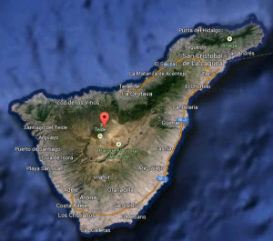
Overview of Tenerife - I spent all my time this year in the northernmost part of the island.

Overview of Tenerife – I spent all my time this year in the northernmost part of the island.

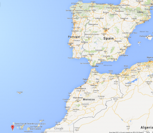
The red dot in the figure to the left marks El Teide – the highest peak in all of Spain.  It rises 12,198′ above the sea in only 4.5 miles (as seen from above).  The entire island is very mountainous, and riding through the various elevations showcases a fantastic diversity of plant life.  The warm temperature and polite cars certainly added to the wonderful time I had cycling!

I did three main cycling day trips during my time there.  The first trip was the most ambitious:  I started in the university town of La Laguna, and climbed into the scenic, northern part of the island.  This area is mainly a national protected area.  Unfortunately, it is also famous for the clouds that form when the warm ocean air hits the steep hills.  On this particular day, the clouds were out in full force and I even got rained on.  The ride was still stunning, however.

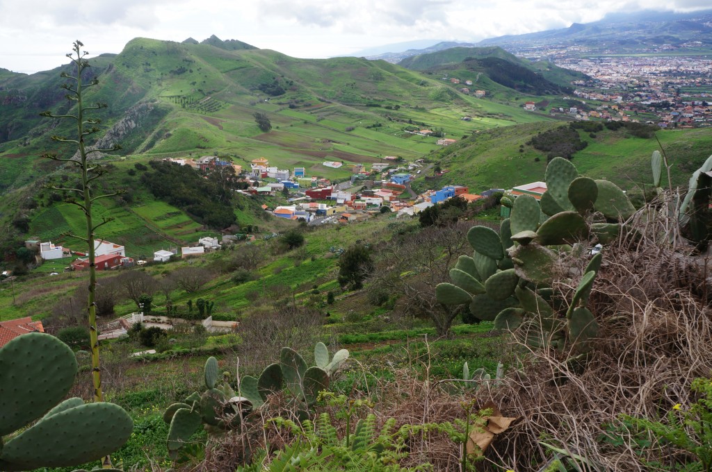
Looking back at La Laguna as I climb into the hills.

Looking back at La Laguna as I climb into the hills.

Within an hour I was out of the heavily populated zone and into the protected area.  The trees grew over the roadway, the pavement was smooth, and traffic was sparse due to the cloud cover and the extreme curviness of the route.

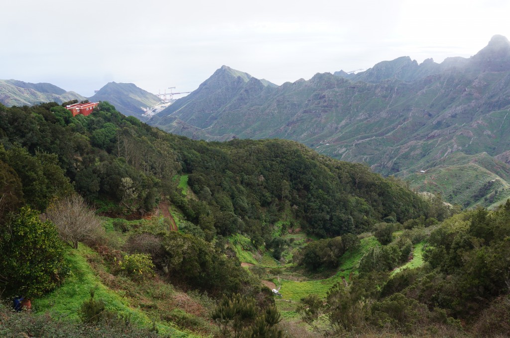
A view of the Atlantic between slivers of hills.

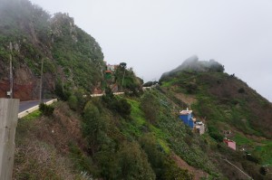
A view of the Atlantic between slivers of hills. Notice the red house perched precariously on the cliff.

DSC08199To the left is the road I traveled on.  At this point a couple of men got out of their car to take a photo.  They complained of the cold weather.  It was about 50 that day, and I smiled and told them how cold it was at that moment in Pennsylvania.  They gasped obligingly.


DSC08223

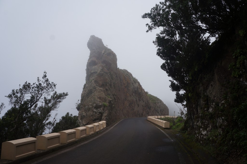
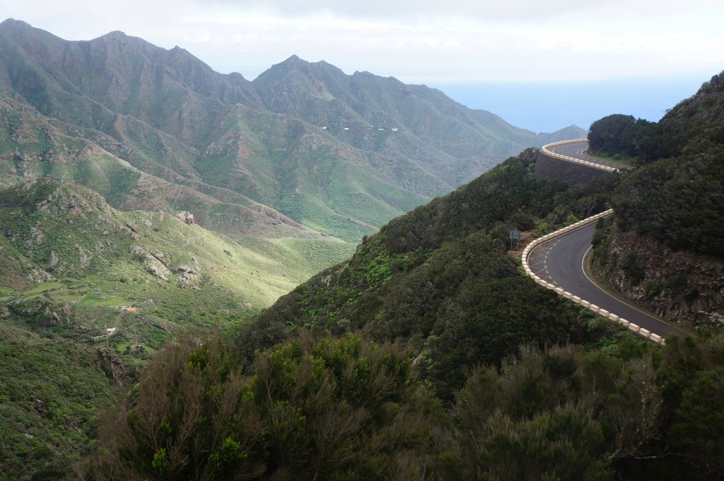
A particularly photogenic curve in the road.

There is a sheer drop on either side of the road here.

There is a sheer drop on either side of the road here.

Eventually, I began to descend back to sea level.  It was a very long descend, but it was wondrous to finally emerge from the clouds to find a warm, sunny day below.  The road ended in the small town of San Andres.  Most of the houses here are built into the steep walls of the mountains, and the region is famous for its seafood stews.

Finally! Out of the clouds!

Finally! Out of the clouds!

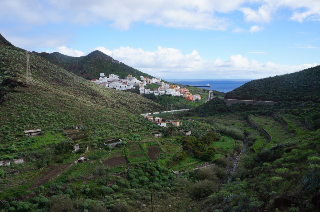
San Andres in sight - buildings constructed on the sides of the steep hills.

San Andres in sight – buildings constructed on the sides of the steep hills.

San Andres is connected to the big city of Santa Cruz by a narrow strip of highway next to the ocean.  There is a nice pedestrian walkway the entire length of the road, which I used to arrive quickly.  Once in the city I folded the Brompton up and boarded the light rail to return to La Laguna, where my family was waiting.  It was a beautiful little loop!

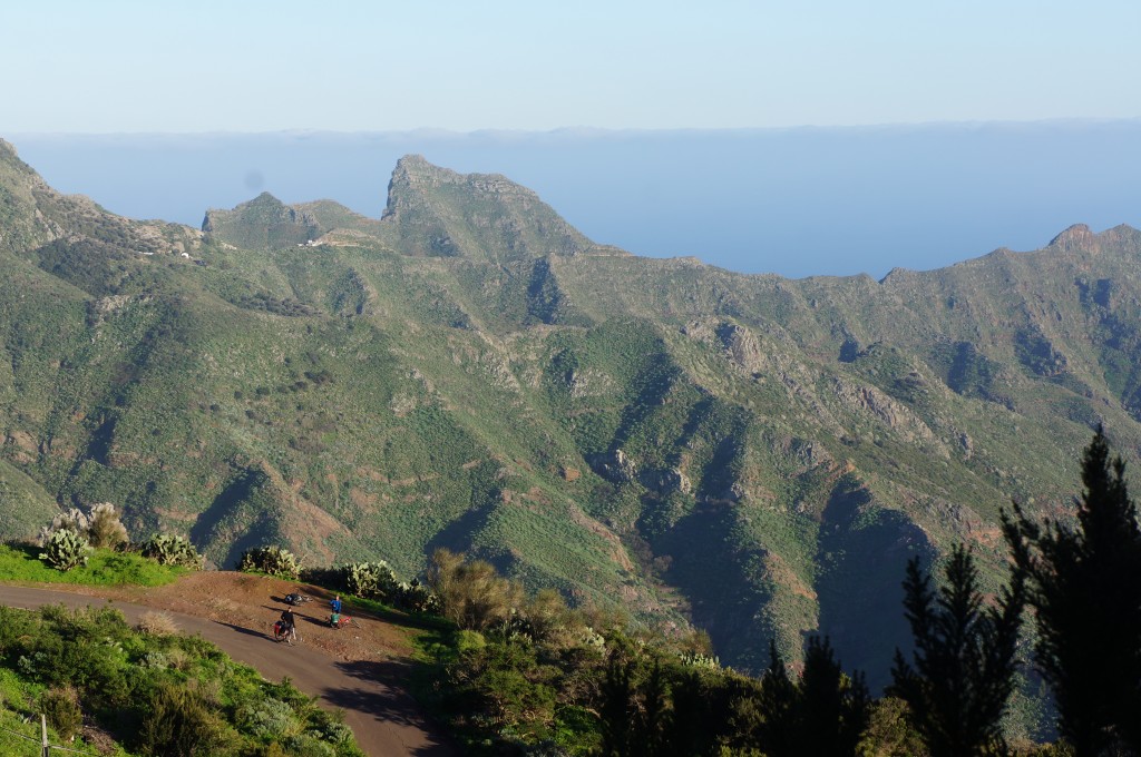
My other two day rides were in the same protected areas, but on lesser-traveled roads and on sunnier days.  I even met up with a trio of touring cyclists one day!

I made these three touring cyclists who later set up camp at this spot.  They spoke neither English nor Spanish, so our communication was rather limited

I met these three touring cyclists who later set up camp at this spot. They spoke neither English nor Spanish, so our communication was rather limited.

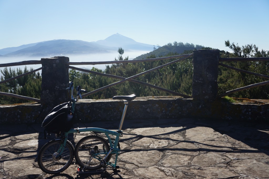
The Brompton and El Teide.  The little bike that could, as I call it, is posed in front of Spain's tallest peak.

The Brompton and El Teide. The little bike that could, as I call it, is posed in front of Spain’s tallest peak.

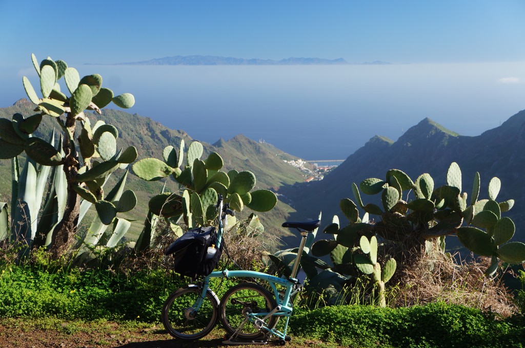
One last picture of the Brompton on Tenerife.  Gran Canaria, another island, rises above the clouds in the background.

One last picture of the Brompton on Tenerife. Gran Canaria, another island, rises above the clouds in the background.


Training in Spain’s Canary Islands – Part 1: El Hierro


The Canary Islands - part of Spain but much farther south!

The Canary Islands – part of Spain but much farther south!

It’s true, I spent my winter break in the fantastic Canary Islands.  Nearly every winter for the past eleven years I have spent this time with my wonderful host family, who I met when I was an exchange student during my junior year of high school.  They are such marvelous people that I am willing to sacrifice 2 days of travel in each direction for the privilege of seeing them again.  This year was no different, except that I spent even more time than usual riding my bicycle.

For the past three years, I have brought my folding bicycle (a Brompton) along for adventures, exercise, and exploration.

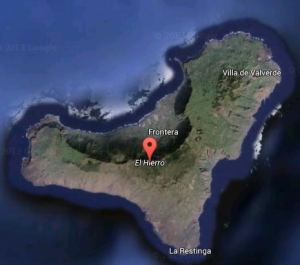
El Hierro - the smallest of the Canary Islands

El Hierro – the smallest of the Canary Islands

The islands we stay on, El Hierro and Tenerife, are known for their biodiversity, volcanic origins, and very steep roads.  El Hierro is approximately one half of a massive volcanic cone.  The other half of it fell off into the ocean millenia ago.  The island, however, is far from volcanically dormant.  For the past two years there have been earthquakes and an underwater eruption off the southern part of the island.  I was there for the biggest earthquake yet – 5.1 on the Richter scale.

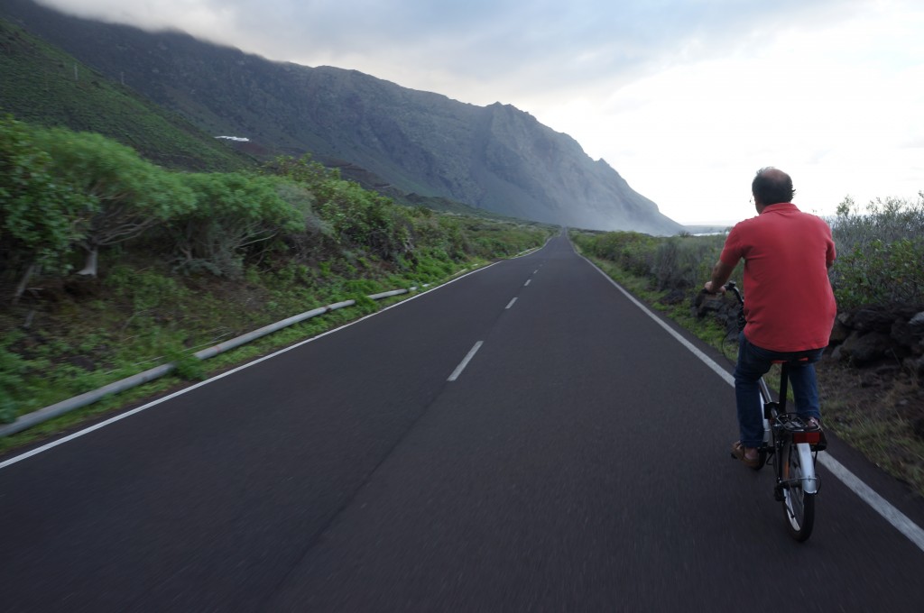
My host-father riding on a somewhat flat part of the island.

My host-father riding on a somewhat flat part of the island.

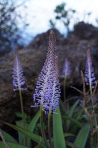
A flowering cactus plant

A flowering cactus plant

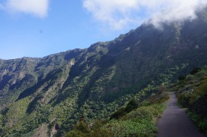
My family stays near the center of that crater, and so I took trips on my bicycle up and over the lip of the cone.  This is a climb of nearly 4,000 feet!  Needless to say, the roads are steep and the views breathtaking.  The descents are chilly, but it’s nearly always warm at sea level.  My host father came along on a few adventures.  We always seem to find new unexplored pockets of the island, and new bits of plant life to identify.  Here are a few pictures from around the island.

A road perched on the steep mountainside


Of course, some of the most spectacular vistas are found along the ragged shore where half the island seems to be missing.  The trailing rocks leading from the island into the Atlantic are called the ‘Roques del Salmor’ and are a symbol of the island.

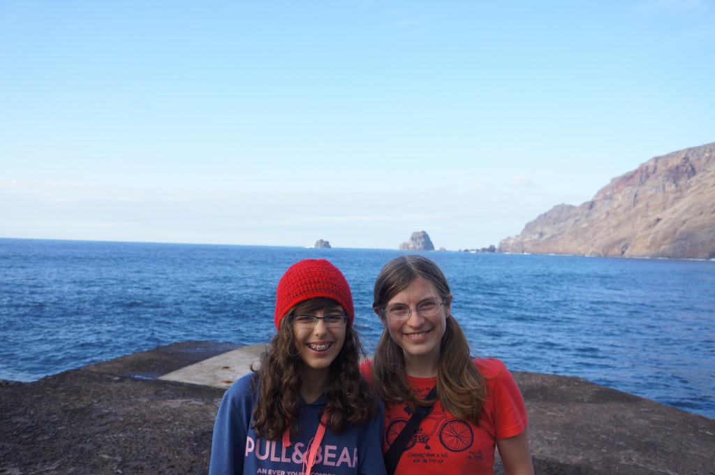
Me and my wonderful host-sister.  Her father was sure to pose us with the Roques growing out of our heads.

Me and my wonderful host-sister. Her father was sure to pose us with the Roques growing out of our heads.

A road perched on the steep mountainside

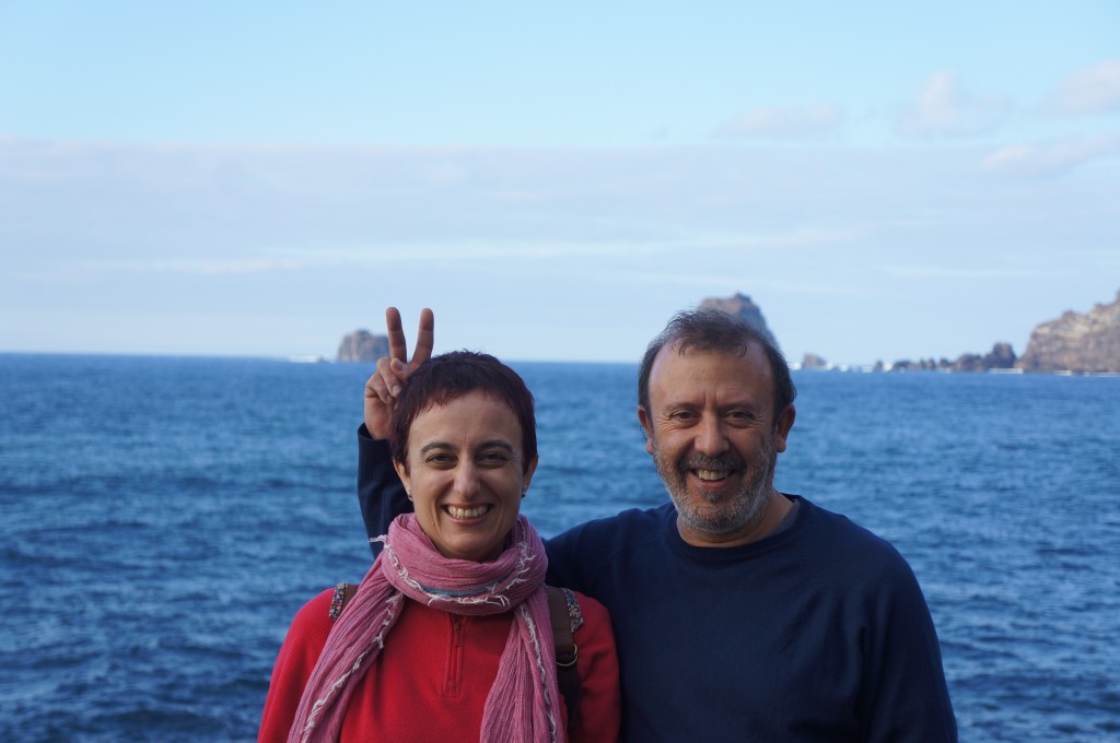
My host parents, also posed with the Roques.

An example of the off-the-beaten path roads.

An example of the off-the-beaten path roads.


On the high part of the island, it feels like you are on the top of the world, just perched on the edge.  On a clear day, you can see three other islands in the archipelago: La Palma, La Gomera, and Tenerife.

Grazing land on the high part of El Hierro.

I hope to some day return to the Canary Islands with Jason to take a hiking holiday in La Palma or La Gomera.  Both are islands with extensive hiking networks, friendly people, and pleasant year-round weather.  Perhaps after the trip, on my next visit to see my family!

Even after three years pedaling this small island of El Hierro, there are still more roads here I haven’t had the chance to ride.  This years rides provided me with a much-needed dose of vitamin D and a few extra muscle fibers for our upcoming trip!

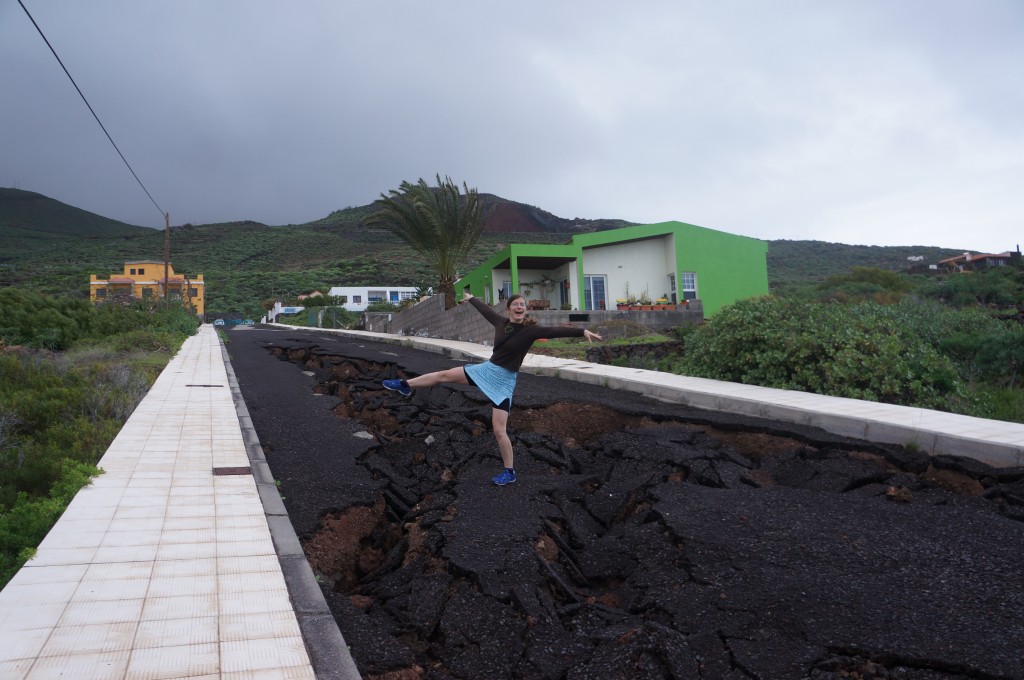
Some roads were in better shape than others...

Some roads were in better shape than others…


Honeymoon – Day 5

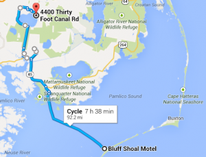
Ocracoke, NC to Pettigrew State Park, NC; 62 miles

Route for day 5

Route for day 5

What a day!  It was supposed to be a nice, easy 36 miles to the state park.  We failed to notice, however, that a few of the roads that Google sent us on were unnamed.  The adventure started even earlier though, around 2 am.

The storm that blew in over the Outer Banks the night before caused the power in our motel to go off around 2 am.  Sometime later we got cold from the resulting lack of heat, and had to resort to using our sleeping bags to stay warm!  In the morning we had to be at the ferry before 7am, and so had to get prepared while it was still dark out. Without the lights we had to pack up using our headlamps in the motel!

The ferry had generator power, so it was still on schedule.  The woman selling tickets told us there were 7 inches of standing water in her lawn.  Yikes.  It took 2.5 hours to ferry back to the North Carolina mainland, and the rain continued.  It would continue all day.

We rode for about 2 hours into a strong headwind and rain.  Our directions sent us down a road with a sign: ‘road ends 1 mile’.  Uh oh.  Foolish us, we pushed into the wind anyway, hoping the sign was wrong.  It wasn’t – we reached the end of the road and found only a farmhouse and a large building with tractors.  We stepped in for directions and met Reed and Randy, two cotton farmers.  They invited us in out of the rain and peppered us with questions about life on bikes.  Reed even helped us plan a route to the state park we were aiming for, and gave us a new map.  Best of all, they gave us a big bag full of raw North Carolina peanuts.  I’m not sure how Jason fit the bag into his pannier, but he did.

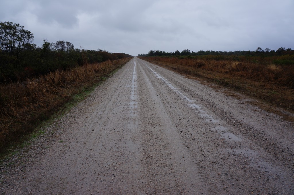
As we left the rain started again, and we still had a long way to ride.  10 of the remaining miles were on a dirt/sand/gravel road through a wildlife refuge.  On another day it would have been beautiful, but on that day it seemed to go on forever, and we were exhausted when we finally reached the edge of the lake we were aiming for.

10 slow, difficult miles into the wind on this muddy road nearly finished us.

10 slow, difficult miles into the wind on this muddy road nearly finished us.

At the end of the mud road we met a gravel road, and luckily a park ranger who provided us with yet another map to find the campground.  We didn’t know it at the time, but there were still 20 miles left to ride.  We were already exhausted, but the promise of a picnic table, restroom, and spot for the tent kept us pushing as the temperature dropped.

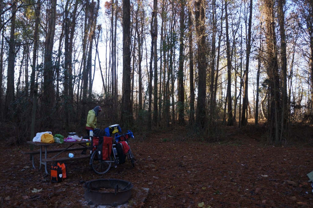
We arrived at the park at dusk – just in time.  The ranger was very nice and helped us find a sheltered campsite.  I spent nearly half an hour in the restroom hitting the hand drier over and over to warm up and dry my shoes out.

Our campsite at Pettigrew State Park.

Our campsite at Pettigrew State Park.

We were so tired that we didn’t even have energy to read after climbing in the tent.  Honestly, we were asleep at 7:30.