Author Archives: Daisy

Our first section of the fabled Carretera Austral

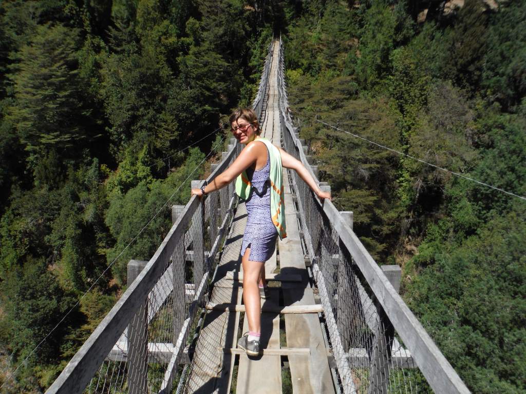
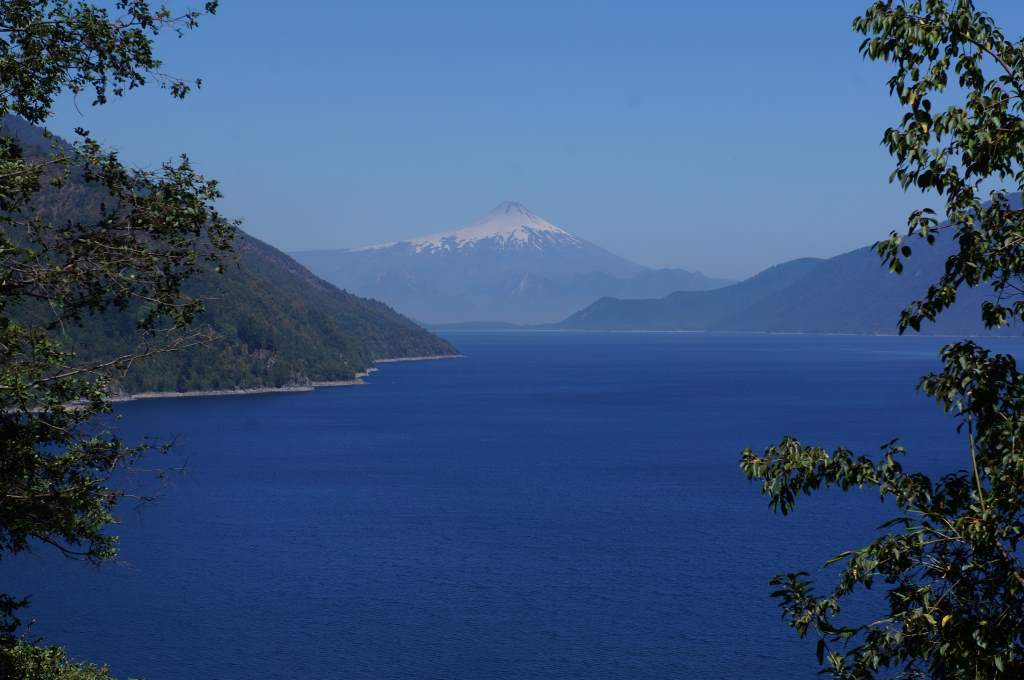
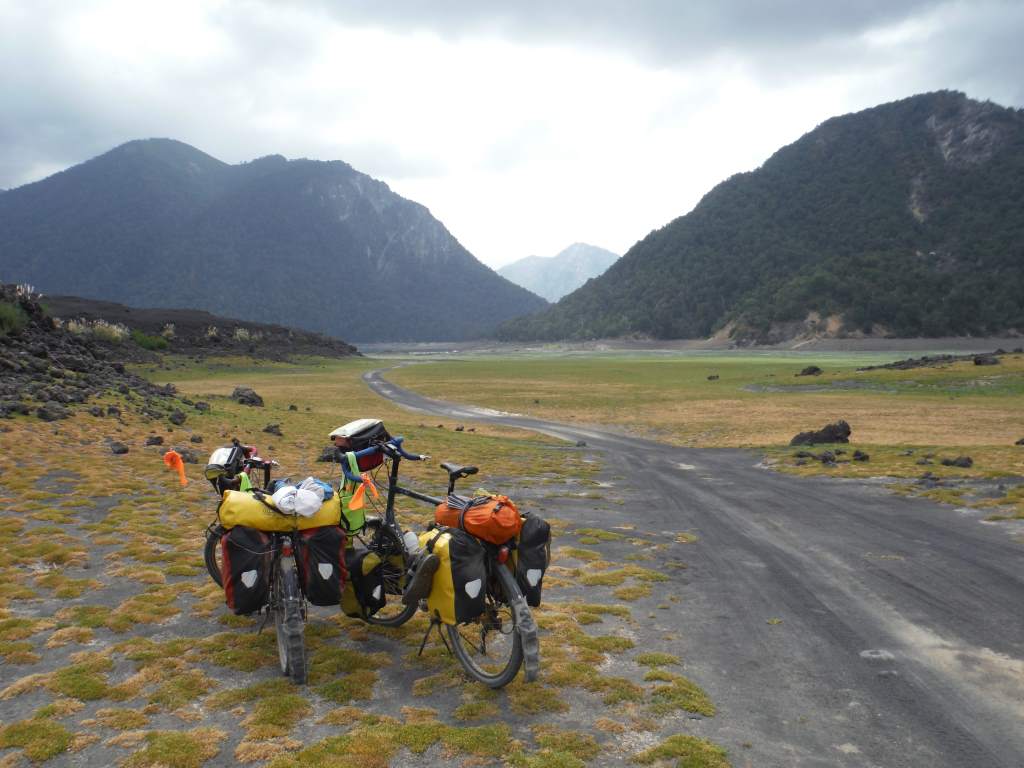
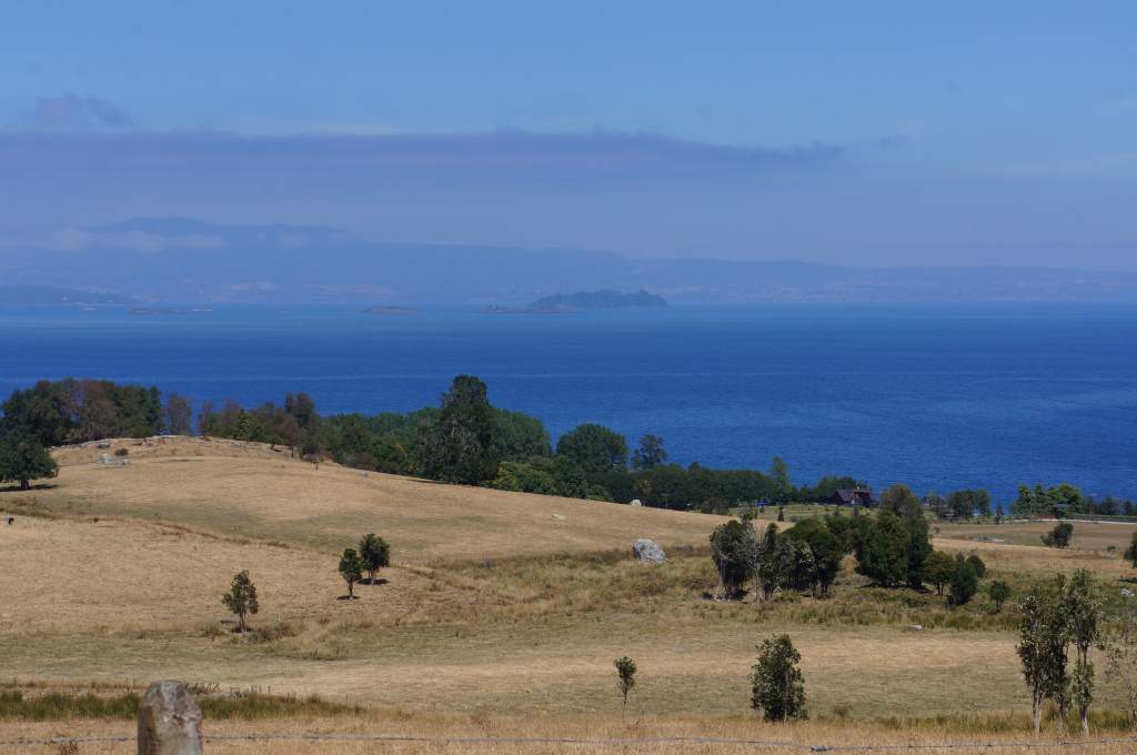
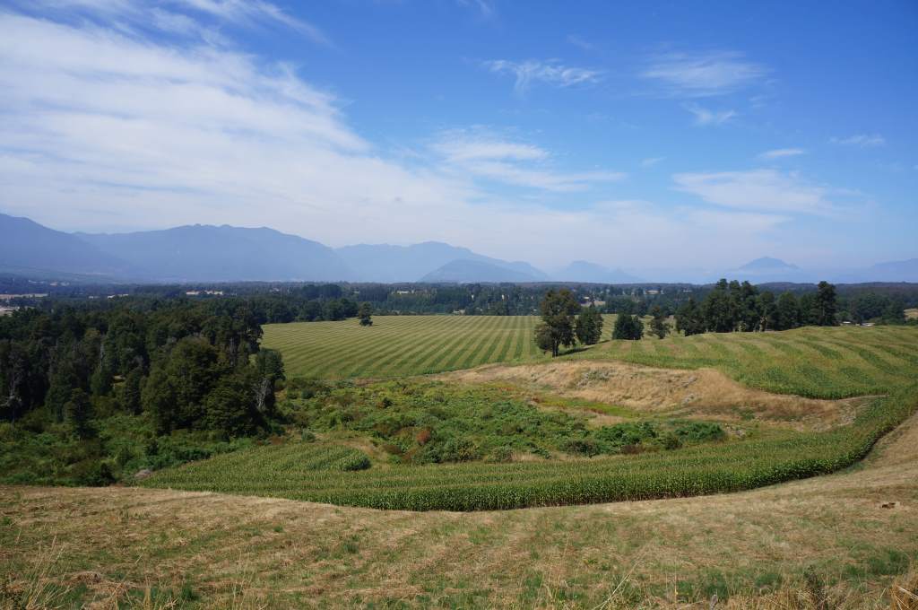
Just another incredible vista...

Just another incredible vista…

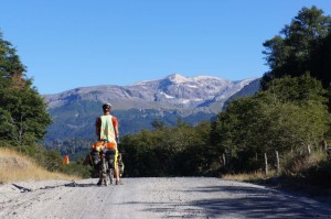
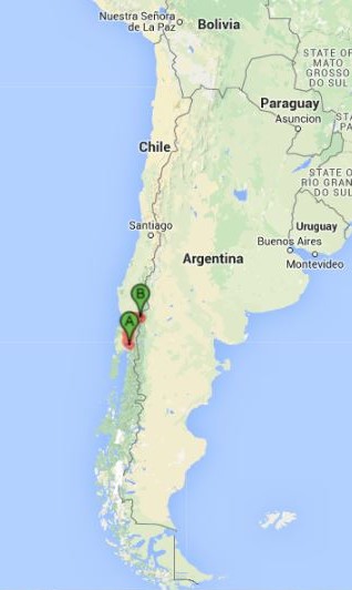
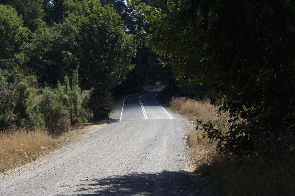
The Carretera Austral is a (mostly) gravel road extending into Chilean Patagonia. Construction of the road began in 1976, but didn’t reach the southern terminus in Villa O’Higgins until 2000. The road reaches into vast, untouched, and pristine lands of fjords, glaciers, forests, and mountains. Since it was opened it has gained fame as one of the world’s classic cycling routes, so of course we have to ride it. In fact, this route was a main motivating factor in our decision to fly south and ride north, since otherwise it wouldn’t be open when we finally reached the southern extreme. Enough preamble though – we are finally here and it is wonderful!

Jan27_005 Jan27_008

Jan27_010

Many of these cascading glacial streams throughout each day.

Many of these cascading glacial streams throughout each day.

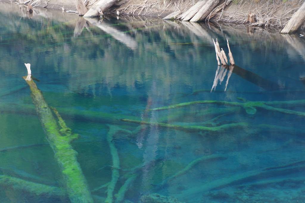
The first 100 km were some of the best of the trip so far. The traffic was almost non-existent and the road surface was pleasant despite being dirt. There were mountains everywhere, and we constantly were crossing streams from glacial run-off. In the afternoon the first day the weather took a turn for the rainy, and we decided to call it a short day. The road ahead seemed to lead straight into a nasty looking cloud. We found a great spot next to a clear, still pool and set up camp. It started to drizzle as we cooked dinner, so we retreated to the tent quite early. Out of boredom we ate too much chocolate and ended up being as giddy and silly as small children right around bedtime. Oops! Eventually we finished our sugar-high and fell asleep to the light sound of rain.


Jason at breakfast on a misty morning.

Jason at breakfast on a misty morning.

Our guests across the road from camp.  There are cattle even in Patagonia.

Our guests across the road from camp. There are cattle even in Patagonia.


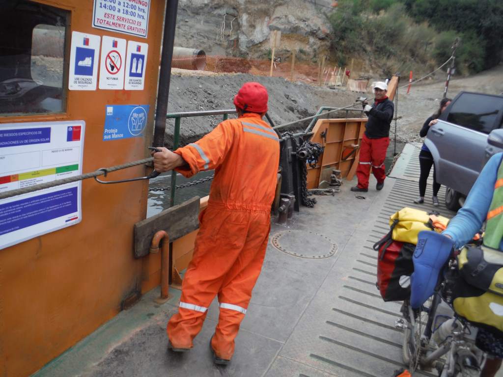
The next day we continued on this beautiful stretch of road, and finished off the day by taking a ferry across a wide river. This ferry was free, and there were beautiful waiting rooms on either side where many cyclists have spent nights. We had planned to spend the night in one of these shelters, but just as we were settling in an extremely chatty hitchhiker showed up to spend the night too. We decided that we wanted to actually sleep that night, so we rode out of town to find a wild campsite. In the end we slept on a gravel terrace with an amazing overlook at the river valley below. We’ve really slept in some wild places on this trip!

Jan28_007

It always helps to have the view of a glacier as motivation to get to the top.

It always helps to have the view of a glacier as motivation to get to the top.

We made the ferry!

We made the ferry!

Our surprisingly comfortable campspot.

Our surprisingly comfortable campspot.

We had to interrupt the goat party hour on the way to Tortel.

We had to interrupt the goat party hour on the way to Tortel.

Next we took a side trip to the charming town of Caleta Tortel, which is famous for being a truly car-free community. It was founded in 1955 at the outlet of the untamed Baker River, its existence owed to the harvest of cypress trees. The town is built entirely of wood, and houses are suspended on stilts on the steep hills overlooking the glacial water. The buildings are all connected via an extensive system of wooden boardwalks. It was only in 2003 that the town became accessible by road, and all traffic stops at a parking lot above town. We loved wandering this town on foot!

Jan29_017 Jan29_022

The path to town.  We left the bike in the parking lot!

The path to town. We left the bike in the parking lot!

A lovely house, but a scary location for a rocking chair.

A lovely house, but a scary location for a rocking chair.


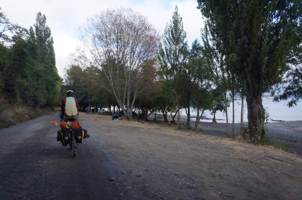
The final leg from Caleta Tortel to where we are now (the big city of Cochrane: population 3,000) took 2 days over rough gravel roads. We got jostled, bumped, and jarred for hours, but luckily the scenery was enough to make up for it. There was rain, too, but we’ve got plenty of raingear and perseverance. We even got to sleep in a wonderful protected bit of woods with some other cyclists. Actually, we’ve been seeing 6-10 or more southbound cyclists each day. That is very “busy” in cycling terms, and reminds us of the California coast. The difference is only in the scale – we are in remote country here!

Jan30_004 Jan30_007

Jan30_012 Jan31_003

A somewhat scary spot to get water.

A somewhat scary spot to get water.

When we finally reached the town of Cochrane it was with great excitement and relief. We had just endured five shower-free days, and were ready for a good wash, a good dinner, and some electricity for our many gadgets. This town is like an oasis for us! A lovely camping area is a mere block from the central square, there is reasonably fast Wifi, and a large supermarket. Oh, and it’s cheaper than camping at many state parks with no services whatsoever. Win for Patagonia!

The town of Cochrane.

The town of Cochrane.


That night in camp we undertook a major project: cleaning our camping stove. Over the course of the last eight months its flame has gotten gradually weaker, until it was finally taking up to half an hour to get a liter of water boiling. In order to clean it we had to yank a cable out of a fuel line, swish it back and forth many times, and eventually flush the whole thing out with clean gas. Needless to say, it was not as simple as it sounds. It took about 40 minutes of yanking on that cable with all our strength before it was finally convinced to emerge from the fuel line! We persevered, and now our stove is back to sounding like a jet engine.

A somewhat shaggy-headed Daisy is excited to have extracted the cable for cleaning the stove.

A somewhat shaggy-headed Daisy is excited to have extracted the cable for cleaning the stove.

We took a full rest day in Cochrane, mostly charging devices and updating this blog. It was heaven to just sit around drinking tea all day. Tomorrow we head out onto the open road again, where we’ve been warned of the road surface, the wind, the steep grades… pretty much everything. These southbound cyclists can sure be full of gloom and doom! We know the truth though: we’ll be fine. We might be slower if the road is rough, the wind is bad, and the hills are steep… but we’ll get there!

Now, a couple bonus photos that didn’t make it into the narrative above.

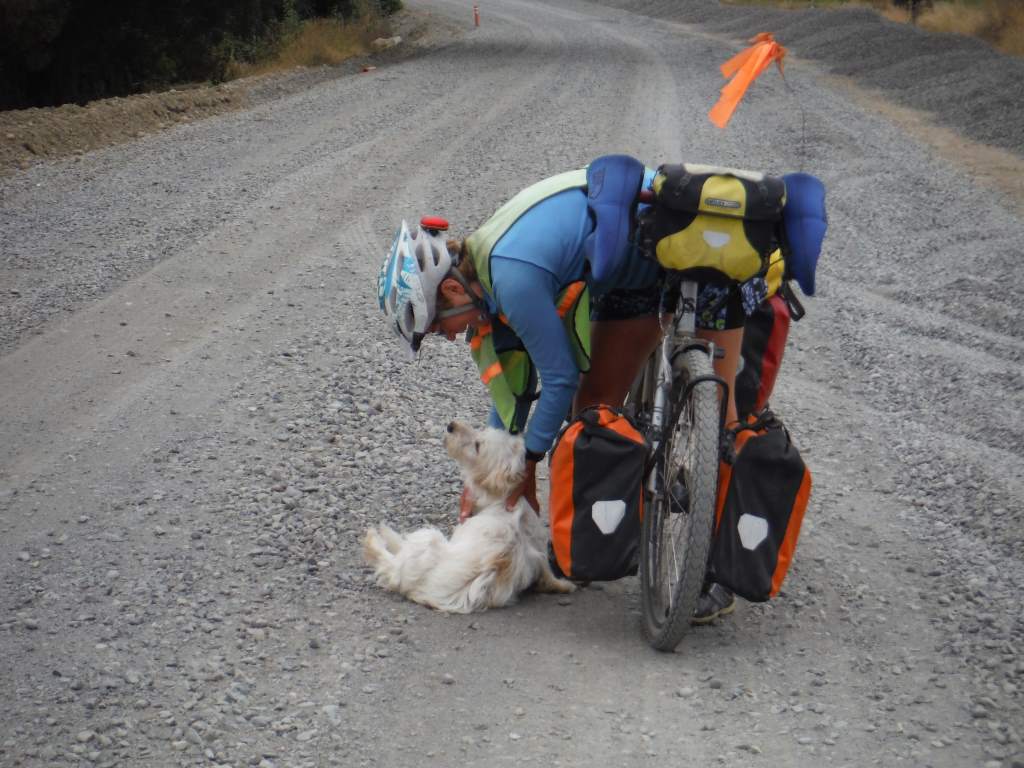
Another morning visitor to our camp...

Another morning visitor to our camp…

So many vistas here, it's hard to keep the cameras charged.

So many vistas here, it’s hard to keep the cameras charged.

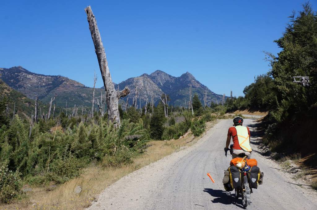
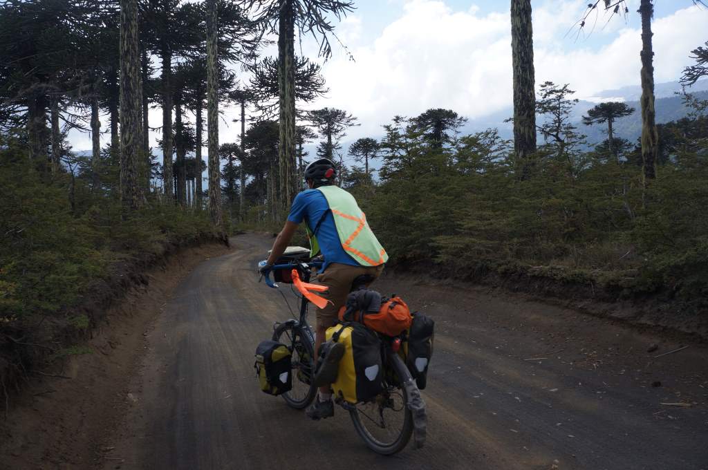
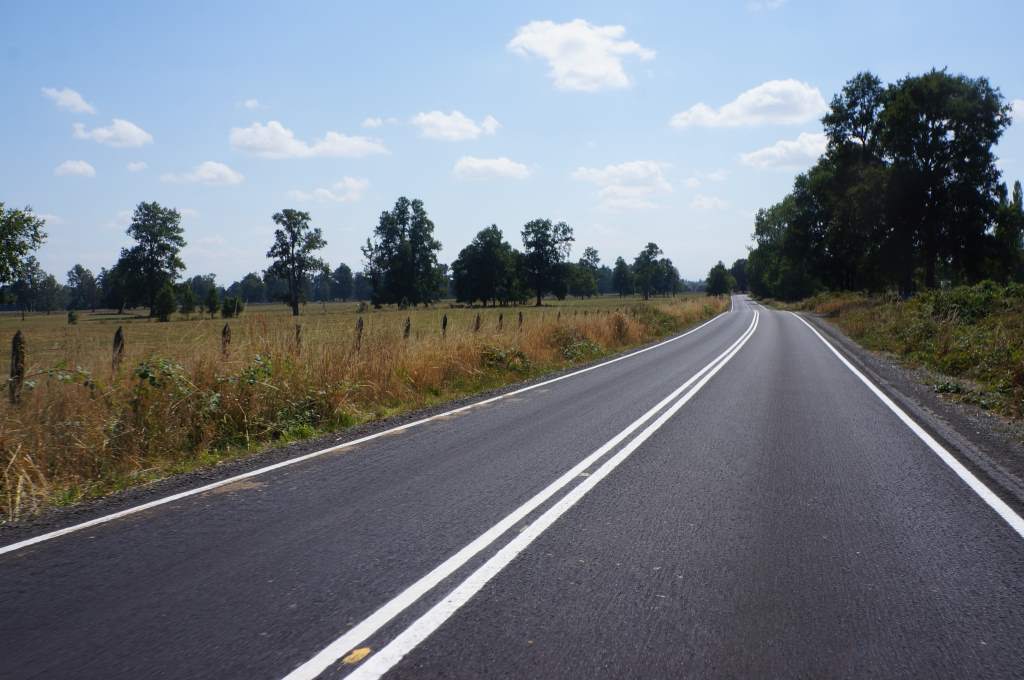
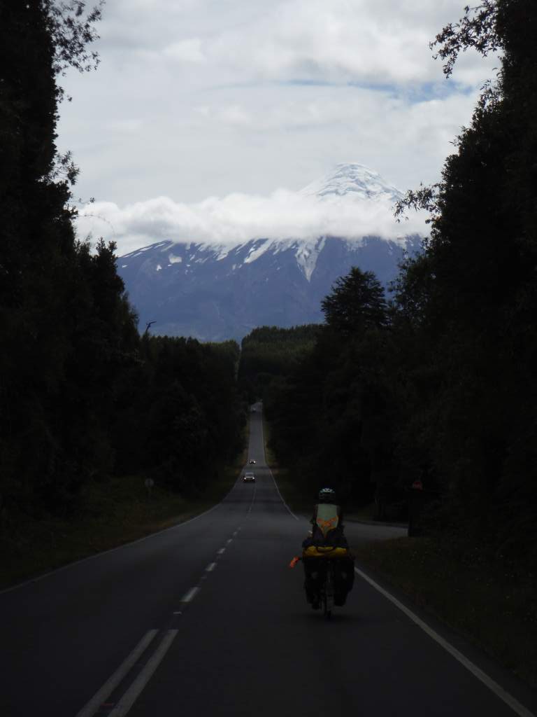
Yet another shot of this stunning road.

Yet another shot of this stunning road.

How's this for a great campspot?

How’s this for a great campspot?

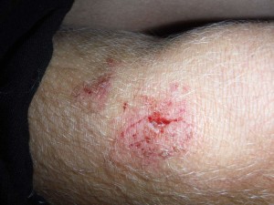
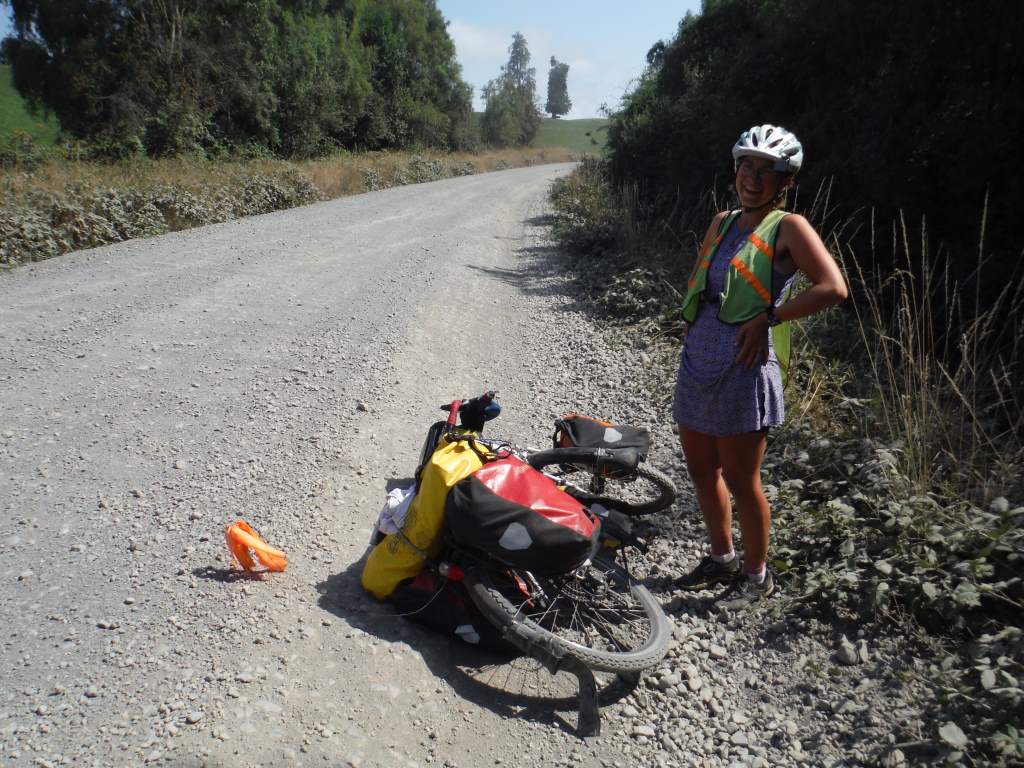
Uh oh. Daisy fall down AGAIN.

Crossing the hiker- biker border into Chile.

No complains when the scenery is like this!

No complaints when the scenery is like this!

The sign that led us to the hiking trail.

The sign that led us to the hiking trail.

This day was so incredible, that we’re dedicating an entire blog post to it.  You see, there is a little-known border crossing between Argentina and Chile that only hikers and cyclists can cross.  It is a 22 km stretch that links two lakes and two countries.  It is stunning and exhausting and epic.  Although we were warned by a great many southbound cyclists of the ‘struggle-fest’ that awaited us, we actually loved this short section that required so much effort.  We didn’t have a strict timeline, so we took our time and had fun.

Jason's ingenious bike set-up.

Jason’s ingenious bike set-up.

The crossing is a mere 22 km (13 miles), but the first 6 km are on a narrow, steep hiking trail and the rest are on a rough dirt track.  Those first 6km took us a total of 5 hours!  At first, the campground kitty kept pace with us as we pushed and tugged our bikes up the trail. It was super steep, but quite good as far as footing goes. I often had to remove my front panniers and rack pack and take everything up in two trips to manage the weight.  In each of the three pictures below, try to find the kitty!

Jan25_004

Jan25_006

Jan25_007

Jason got his own bike across at this stream.

Jason got his own bike across at this stream.

Sometimes the trail was like a bobsled chute, and our front panniers literally couldn’t fit through while on the bikes. Jason was smart and put his front panniers hanging on his top tube, so he almost never had to take two trips. At every stream crossing I took both bikes across so that Jason could keep his feet dry.  Ah, the things we do for love…

Stream crossing with Jason's bike.

Stream crossing with Jason’s bike.

Pushing through the forest.

Pushing through the forest.

We stopped for lunch about 3 km in, setting up in a shaded forest. We had several stream crossings, but sometime after lunch we had the worst stream crossing of all: the bog. The mud was super deep! It tried to suck my sandals off my feet and at times reached halfway to my knee. At one point I got stuck and the bike almost fell in. Luckily, Jason was there and he saved both of us. About an hour after lunch Jason got stuck on a particularly hard section and let his bike fall down. He just left it on the ground, in the path, and declared that it was break time.

This bog was awful!

This bog was awful!

Obligatory border photo.  Pretty quaint border marker though.

Obligatory border photo. Pretty quaint border marker though.

After 5 hours we made it to the border at the top of the pass. Woohoo! We took the celebratory photos and ate the last of a peanut dessert we had bought a few days back. Immediately the rough trail became a rough, but very rideable, track. It felt so good to ride again! There were a few steep uphills, but we mostly got to coast downhill. We passed a (very) primitive landing strip, cows, and horses.

Sometimes the road was very steep downhill, and loose too, so we had to ride with one foot bouncing along on the dirt. Sometimes we had to walk. Soon enough we turned a corner to see the lovely Lake O’Higgins stretching out below us.

The dirt track stretch out before us after the border.

The dirt track stretch out before us after the border.

Some pretty rough bridges on the Chilean side.

Some pretty rough bridges on the Chilean side.

Lago O'Higgins and the road snaking downward.

Lago O’Higgins and the road snaking downward.

Uh oh.  Daisy fall down.

Uh oh. Daisy fall down.

At about 4 o’clock we reached the border control shack, and got through with no problems. We even got to keep our veggies! I think the agent just forgot to ask us about them.

Yippee!  We're getting on the boat!

Yippee! We’re getting on the boat!

By 4:15 we were at the ferry dock, and we decided to catch the boat. While we waited we cooked up a pot of rice, veggies, and tuna to eat on the boat. When the craft actually arrived we were nervous that there wouldn’t be room or that they wouldn’t take our tickets that were technically for tomorrow. No worries though, they just decided that it was ok to have more people than the technical capacity, and they told us we had to sit in the kitchen.

We did spend a bit of time on deck enjoying the scenery before retreating to the warm and comfortable kitchen for a nap all the way to the other side of the lake.

A very nice day for a boat ride.

A very nice day for a boat ride.

Once offloaded, we dealt with the expected chaos of nine cyclists sorting out their bikes and gear after a ferry ride. We took the obligatory photos at the ‘End of the Carretera Austral’ sign, and rode towards town. Although we had originally planned to camp in town, we stopped halfway there to camp for free next to some abandoned boats. It was nice and quiet there, although we were actually ravenous again.

A new chapter begins on the fabled Carretera Austral.

A new chapter begins on the fabled Carretera Austral.

We ate oatmeal for second dinner, and finally went to bed. It started to rain as we ate, and continued through the night. The next morning we made the short ride into town.  You’ll have to wait for the next update to hear more about this fantastic dirt road we’re spending the next three weeks on!

Peaceful camp with some old boats.

Peaceful camp with some old boats.

Glaciers, plains, and finally entering the mountains.

The Perito Moreno Glacier.

The Perito Moreno Glacier.

Another impressive view of the glacier.

Another impressive view of the glacier.

When last we updated, we had just completed our first week of riding in Patagonia. There had been wonderful mountain scenery, open vistas, and strong winds. We stopped for a day in the small town of Calafate, which is mostly new construction and infested with crowds of tourists. Because of this almost overwhelming tide of trendy tourists in outdoor gear, we didn’t spend much time in town. We did, however, go to the area’s main attraction: the Perito Moreno glacier. It was well worth it!

This glacier is one of only two in all of South America that is actually advancing. Every day it advances up to 2 meters, and chunks of ice are constantly breaking off its face to crash into the lake below. We took a 90 minute bus ride to the viewing area, which was actually 5 km of metal boardwalks that criss-cross the hill overlooking the glacier. It was incredibly well-done, and despite the large volume of tourists we never felt like it was a zoo, and we always had a great view.

The blue of a glacial lake never ceases to impress.

The blue of a glacial lake never ceases to impress.

We even got to play with this piece of iceberg that some kids had retrieved from the lake.

We even got to play with this piece of iceberg that some kids had retrieved from the lake.

It was fun to just relax in the sun and watch chunks of ice calve off the glacier. The glacier is as tall as a 24 story building. For you folks back in Bellingham – that’s 9 stories higher than the tallest building in Bellingham! The sound of the ice chunks falling all the way to the water below was a deep rumble that we could feel even from our relatively far off vantage point. We couldn’t get close because it is dangerous. Before they restricted access, 32 people had died at this glacier after being struck by ice spears. Scary stuff indeed.

Our first glimpse of the ice sheet as we approached the national park.

Our first glimpse of the ice sheet as we approached the national park.

Exterior of the famous 'Pink House'

Exterior of the famous ‘Pink House’

After we left Calafate we headed back out into the Argentine plains for another couple days. The wind was yet again a major factor, but we were lucky to shelter in an abandoned house for a night. This house is somewhat of a legend among touring cyclists, and over time it has been cleaned up a bit with many cyclists having left their mark.


Interior of the house.  We shared with Benjamin, a very friendly Austrian cyclist .

Interior of the house. We shared with Benjamin, a very friendly Austrian cyclist.

Our last day of riding through the flat, windy expanse was a bit of a tease. We could see the iconic peaks of the Patagonian Andes slowly growing closer over the course of five hours of riding. The wind got stronger and stronger, until we were crawling along at 6 miles an hour. Eventually, however, we reached the base of those incredible peaks and entered the small town of Chalten.

The 'beware of wind' sign really describes this area well.

The ‘beware of wind’ sign really describes this area well. 

Far off mountains in the morning.

Far off mountains in the morning.

After lunch, getting closer!

After lunch, getting closer!

Almost there!

Almost there!

Holy mountains!

Holy mountains!

Casa de ciclistas - jam-packed.

Casa de ciclistas – jam-packed.

Outside of the Casa de Ciclistas.

Outside of the Casa de Ciclistas.

This town was like a theme park for hikers and backpackers. It is known as the ‘National Trekking Capital’, since for some reason here folks always ‘trek’ and never ‘hike’. Perhaps hiking sounds too mundane. In any case, the town was incredibly scenic and we enjoyed a free night of camping at our first ‘Casa de Ciclistas’. It was a private home run by a local woman who loved to host touring cyclists. Her backyard was jam-packed with tents.
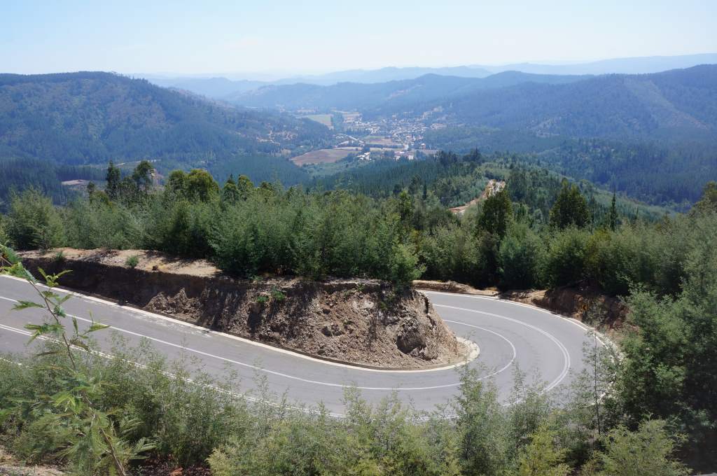
When we finally left Chalten it was to ride 22 miles on a gravel road to a secluded lake where we would catch a pair of ferries separated by a hiking trail where we would need to push the bikes. More on that in the next post. For now, here are some photos from that phenomenal gravel road and the first boat ride.

Heading into the mountains!

Heading into the mountains!

Jan24_008

Maybe we'll use this photo for a calendar in the future.

Maybe we’ll use this photo for a calendar in the future.

A view of the lake from the south side.

A view of the water from the south side of Lago Desierto.

These four British guys were pretty excited to get their bikes on the ferry.

These four British guys were pretty excited to get their bikes on the ferry.


Argentine customs, with Patagonia geese.

Argentine customs, with Patagonia geese.

We camped on the far side next to Argentine customs, and I’m not sure I’ve ever slept in so scenic a location.

The view from our campsite.  No kidding!

The view from our campsite. No kidding!

Our first week of riding in the far South

A couple of Rheas - essentially a Patagonian ostrich.

A couple of Rheas – essentially a Patagonian ostrich.

We are currently in the tourist town of Calafate in Argentina, after spending six days riding the 325 miles from Punta Arenas.  It has been quite a journey.  To us, it feels like we’re living inside a National Geographic magazine.  Around every corner there are exotic animals on windswept plains, or twisted Juniper trees that have been deformed by the gusts.  We see far off mountains and glaciers, and we’ve slept everywhere from rodeo stalls to lake shores to portable construction housing.  In short, it’s like a whole new adventure down here.

Grey goodbye to the Strait of Magellan.

Grey goodbye to the Strait of Magellan.

Apparently there are a few minefields near the border regions. We didn't venture any closer.

Apparently there are a few minefields near the border regions. We didn’t venture any closer.

Our first day out of Punta Arenas was grey. It rained for most of the morning, but the wind was blessedly calm.  Since I grew up in the Pacific Northwest, I thought this situation was perfect.  We waved goodbye to the cyclists who had decided to wait out the weather in the city, and we rode off into the wide open.  The riding was good, and we saw some of our first South American wildlife:  guanacos, rheas, flamingos, and sheep.  Ok, so the sheep aren’t so wild, but the rest are!  Guanacos are wild llama-like creatures, and rheas are huge flightless birds that look a lot like ostriches (or chocobos).  That night, we got permission to camp in a sheltered stall at the rodeo grounds of a small town.  Good thing, too, since the wind picked up and blew all night long.

Finally, some of the lovely flowers!

Finally, some of the lovely flowers!

It was so windy that are tarp just stuck on the wall.

It was so windy that are tarp just stuck on the wall.

Our sheltered spot in a rodeo stall.

Our sheltered spot in a rodeo stall.

Nearly perfect conditions here.

Nearly perfect conditions here.

It took two more days for us to get the next town of Puerto Natales, and the scenery continued to be lovely.  One morning we had a raging tailwind that pushed us uphill at 15 miles an hour!  Each day we met other cyclists on the road, some of whom made us feel like short-term tourists.  There was a Mexican fellow who had ridden from Cancun and was about to start riding back on the other coast of South America, and a young guy who had ridden all the way from San Francisco.  Our second night out, we camped on the shores of a lovely lake and watched the birds all evening.

You can tell which way the wind blows here...

You can tell which way the wind blows here…

Can't get enough of this!

Can’t get enough of this!

Patagonia Ranches.

Patagonia Ranches.

Our lovely wild camp on the lake.

Our lovely wild camp on the lake.

Sunrise - worth the sleep interruption

Sunrise – worth the sleep interruption

Campground in Puerto Natales.

The town of Puerto Natales is a hopping destination for backpackers who are on trekking trips in Patagonia.  It is right on the water and surrounding by beautiful mountains.  Folks in fancy outdoor clothes were everywhere.  Jason and I stayed in a no-frill hostel that allows camping in the backyard.  We were pleased to find a spot for our tent near the back of the yard against a fence.  Unfortunately, we forgot to take a walk around the back to see what was behind the fence.  It was the bonfire / party area, and we heard folks having a good time all night long!

Puerto Natales

Puerto Natales

Looking back towards Chile.  Goodbye mountains!

Looking back towards Chile. Goodbye mountains!

Puerto Natales was also funny because we expected it to have a limited grocery supply.  Because of this expectation we were happy when we found a funky little store with only somewhat limited selection and inflated prices.  Sure, we had to run to other stores about town to find all our supplies, but we were happy.  Then… we turned a corner and found the big, complete, and lovely supermarket.  At this point, it was far too late, and we walked back to the hostel laughing at our unnecessary scavenger hunt.


Lovely fields of flowers, too.

Lovely fields of flowers, too.

DSC06953

Leaving Puerto Natales we had a wonderful morning with views of the mountains, lakes, and a pleasantly gentle wind.  All too soon we were at the Chilean-Argentinean border, and the pavement ended.  We needed to get an exit stamp to leave the country, and Jason had somehow managed to throw his ‘tourist card’ away.  There was a moment of panic when he realized it was necessary to leave the country, and another moment of panic when the border agent said that he would have to go to jail.  After a pause, the agent smiled and gave him a new bit of paperwork to fill out.  Less than a minute later, we were on our way.

Looking back at the Chilean side.  Goodbye Mountains!

Looking back at the Chilean side. Goodbye Mountains!

The road to Argentina.

The road to Argentina.

Entering country number 5!

Entering country number 5!

Right after crossing the border the scenery changed to a stark, flat land of pale yellow grass.  This scenery remained for the next two days.  The first night we slept in a construction trailer, protected from the wind.  The next night we slept in an old house next to a police stop on the highway. In between we spent 40 miles on a rough dirt road, practically getting our teeth shook out of our head. 

DSC07008

Our lodging for the night: construction trailer.

Our lodging for the night: construction trailer.

Now we are in El Calafate, our last full-service town before setting out on the remote and beautiful Carretera Austral.  We are very excited!  This town is quite touristy, and packed with people from everywhere.  We’ll write about our rest day here in the next post!


We like Patagonia.

We like Patagonia.