Author Archives: Jason

Wildflowers of the north – part 1

I have had a bunch of wildflower photos waiting for me to post them, and it is finally time! My mother has spent several hours pouring over a book of wildflowers to bring you the names of these flowers, and a little info to go along. (Thanks, mom!!!!)

These photos are all from Canada – British Columbia and the Yukon. Daisy and I have since seen many of the same flowers on our path south, especially when we venture into higher elevation.
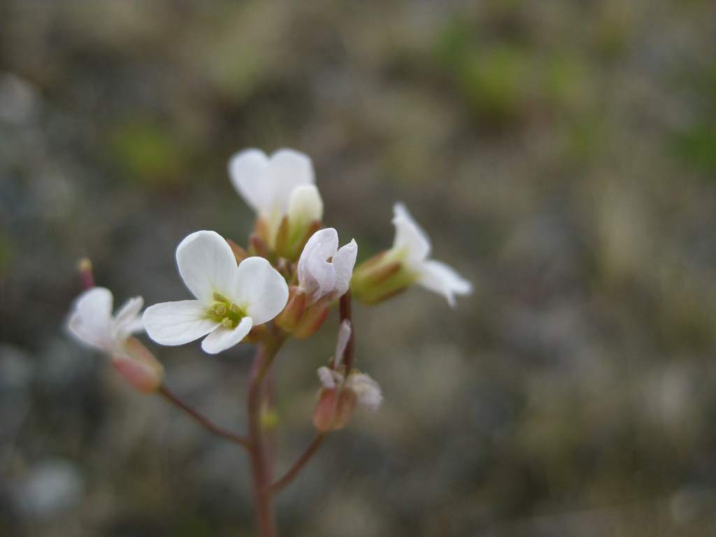
Watercresses (nasturtium officinale). These small (1/4”) flowers enjoy growing on the banks of cold water springs and streams.
Watercresses (nasturtium officinale). These small (1/4”) flowers enjoy growing on the banks of cold water springs and streams.

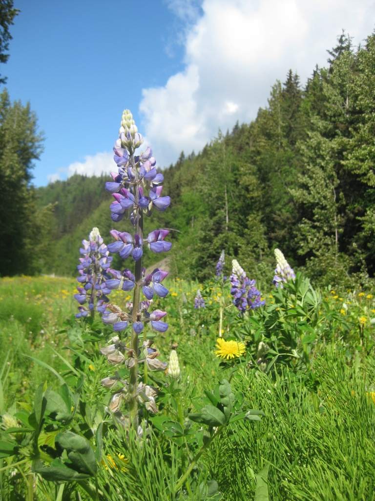
Blue lupine (lupines perennis). Another Lupine! We have seen so many of these on our trip - probably because there are more than 200 species. They have hard round seeds eaten by quail and other game birds. Some species contain an alkaloid which is toxic.
Blue lupine (lupines perennis). Another Lupine! We have seen so many of these on our trip – probably because there are more than 200 species. They have hard round seeds eaten by quail and other game birds. Some species contain an alkaloid which is toxic.


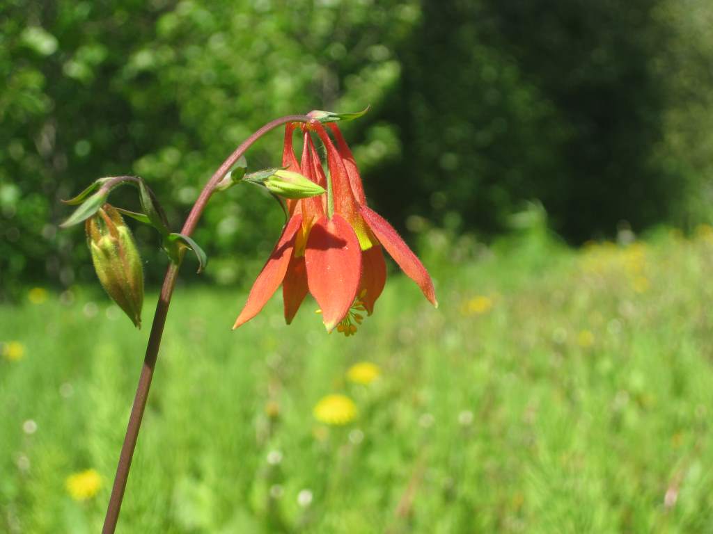
Wild Columbine (aquilegia canadensis). The 5 petals stretch back into a spur, giving it a bird-like form. This inspired the common name “columbine” which means dove, and the scientific name “aquilegia” which is Latin for eagle.
Wild Columbine (aquilegia canadensis). The 5 petals stretch back into a spur, giving it a bird-like form. This inspired the common name “columbine” which means dove, and the scientific name “aquilegia” which is Latin for eagle.


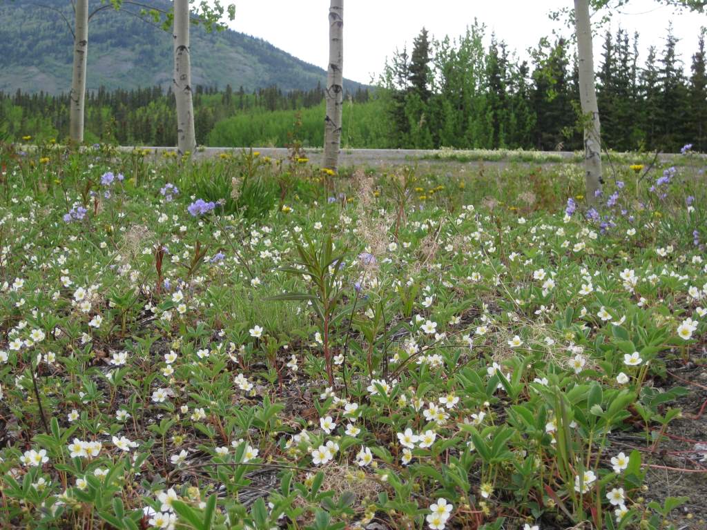
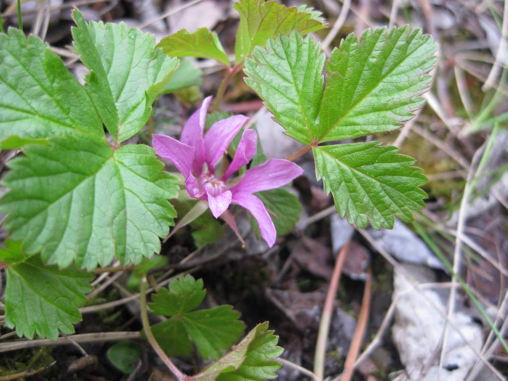
Wild strawberry (fragaria virginiana). Yum! We found a couple small fruit, but obviously the size isn’t much like the cultivated variety. Apparently the strawberry is not a berry at all but the pulpy center of the flower and each of it's apparent seeds is actually a complete one-seeded fruit!

Wild strawberry (fragaria virginiana). Yum! We found a couple small fruit, but obviously the size isn’t much like the cultivated variety. Apparently the strawberry is not a berry at all but the pulpy center of the flower and each of it’s apparent seeds is actually a complete one-seeded fruit!
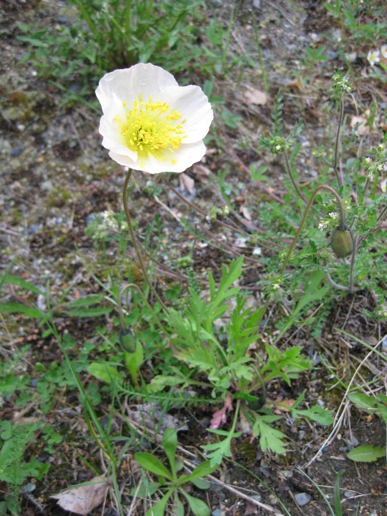
 

Creamcups (platystemon californicus). The color of these flowers range from yellow to white. Botanists debate whether there are up to 60 species or only one with variations.
Creamcups (platystemon californicus). The color of these flowers range from yellow to white. Botanists debate whether there are up to 60 species or only one with variations.

Marsh Cinquefoil (potentilla palustris). This flower is found in wet meadows and swamps. Although “cinquefoil” means 5-leaf, and many are, they can vary from 3 to 15 or more.
Marsh Cinquefoil (potentilla palustris). This flower is found in wet meadows and swamps. Although “cinquefoil” means 5-leaf, and many are, they can vary from 3 to 15 or more.

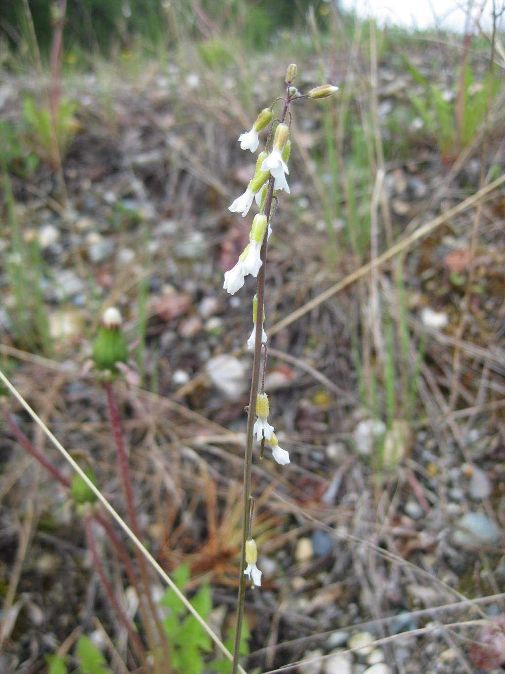
Fringepod (thysanocarpus curvipes). This flower is in the mustard family and the long stalk matches the dry mountain grasslands it grows alongside. The tiny white flowers sure are pretty!

Fringepod (thysanocarpus curvipes). This flower is in the mustard family and the long stalk matches the dry mountain grasslands it grows alongside. The tiny white flowers sure are pretty!

Golden Aster (chrysopsis villosa). This flower has been very prolific along hillsides and the road shoulder. The flowerhead is composed of two kinds of florets. In the center are tubular florets. Around the outside are ray flowers that look more like petals than blossoms although each is a separate floret with five petals of its own fused into a flat surface. (OK, that got a little technical - but it is a pretty cool flower!)

Golden Aster (chrysopsis villosa). This flower has been very prolific along hillsides and the road shoulder. The flowerhead is composed of two kinds of florets. In the center are tubular florets. Around the outside are ray flowers that look more like petals than blossoms although each is a separate floret with five petals of its own fused into a flat surface. (OK, that got a little technical – but it is a pretty cool flower!)
Reaching the coast, the Redwoods, and a lot of traffic

Since we last posted, we have made our way to the Oregon coast and down into California. Our progress was marked by many tall, tall trees, a lot of traffic, and an amazing remote road through the coastal mountains in Oregon.

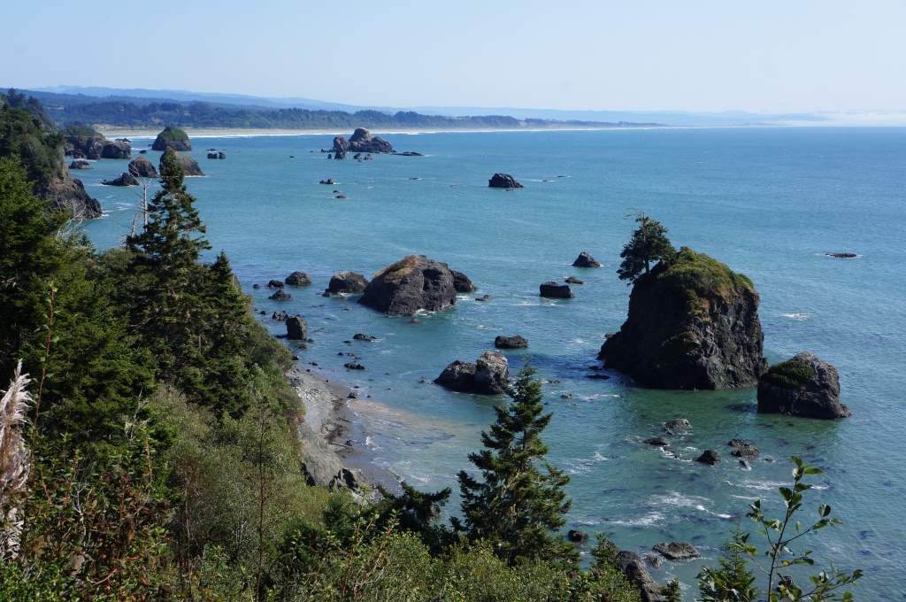
Rocks abound on the OR and CA coast

Rocks abound on the OR and CA coast

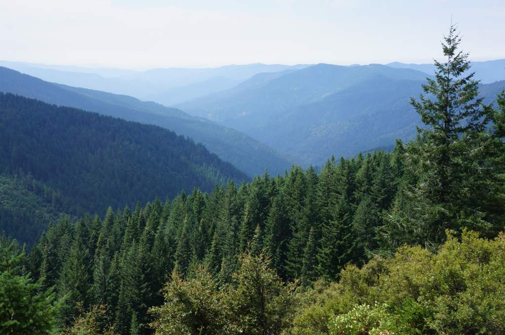
Instead of taking Hwy 199 from Grants Pass, OR to the California coast, we decided to take a forest road known locally as Bear Camp Road. We followed the Rogue River, and then split off to climb the coastal mountain range. The (mostly paved) road took us up, up, up along a tiny creek and then popped us out on top of the hills. We had a commanding view of nearby valleys, and it was reminiscent of Top of the World Highway back in the Yukon.

Looking down into the valleys from Bear Camp Road

Looking down into the valleys from Bear Camp Road

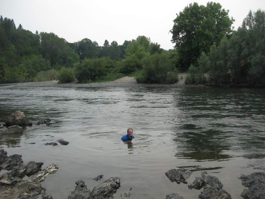
Jason swimming the Rogue River. We spent a couple hours here during one hot afternoon.

Jason swimming the Rogue River. We spent a couple hours here during one hot afternoon.

Eventually we descended back down to the Rogue and followed it out to the ocean. Not without a few more hills to climb, though! We met the ocean at Gold Beach, OR, a small beach town full of motels and not much else. We found a nice RV park that had tent sites in the back, separated from the noise of generators and the hustle and bustle of the big rigs. It also had a cafe where we got a great breakfast.

4-egg omelettes do not disappoint! We saved the pancakes as a nutella-covered snack for later.

4-egg omelettes do not disappoint! We saved the pancakes as a nutella-covered snack for later.

Chalk "graffiti" in Harbor, OR

Chalk “graffiti” in Harbor, OR. The folks who wrote the message in the top left got it right!

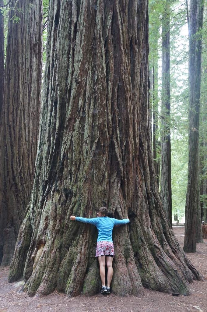
Daisy hugs a Redwood tree

Daisy hugs a Redwood tree

The next day was our 101st from leaving State College, and it was our first day on the coastal Hwy 101! We enjoyed seeing the rocky beaches and meeting a few other cyclists. We actually had our first celebrity sighting – that is, some other cyclists recognized us and asked if we were The Philtrons!

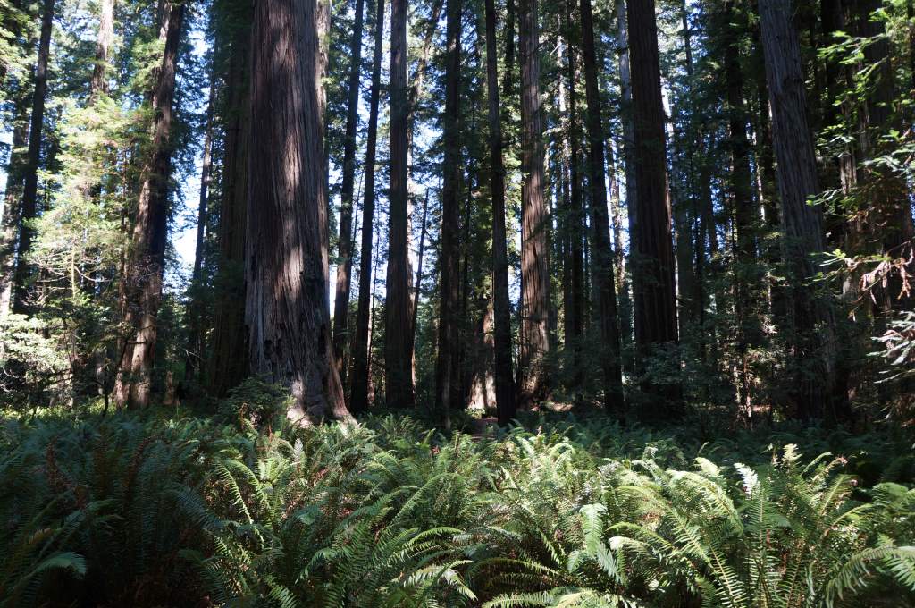
Every day the mist is heavy, but it usually it burns off by early afternoon. We stayed in a hiker/biker campsite in the famous Jedidiah Smith Redwoods State Park. Smith was the first European to lead an overland expedition to the coast. The park protected some old growth redwood forest. We later learned from a ranger talk that 96% of the redwoods were logged, so only 4% of the old growth remains! The next day we set out on a gravel road that led towards Crescent City from the park. It took us past Stout Grove and many more very tall trees.

Stout Grove in Jedidiah Smith Redwoods State Park

Stout Grove in Jedidiah Smith Redwoods State Park

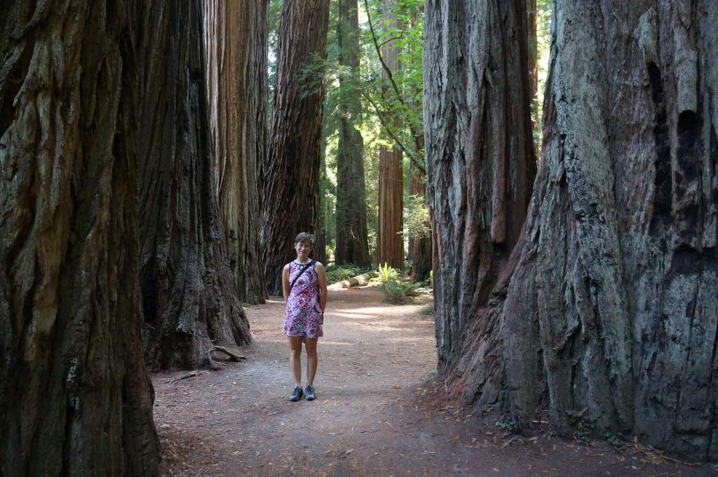
Daisy stands among the old growth

Daisy stands among the old growth

Last night we had the pleasure of rolling into the Arcata area and staying with some longtime friends of Daisy’s family. Today we are taking a rest day in Arcata and Daisy just sent off a complete dissertation draft to her advisor. So exciting! Tomorrow we head to the Lost Coast and are looking forward to getting away from the traffic for a little while.

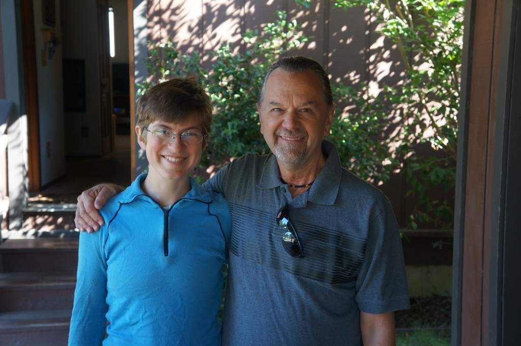
Daisy and Peter

Daisy and Peter

A few more photos (from Oregon)

We are having a great time in Oregon! Here are a few more photos we wanted to share…

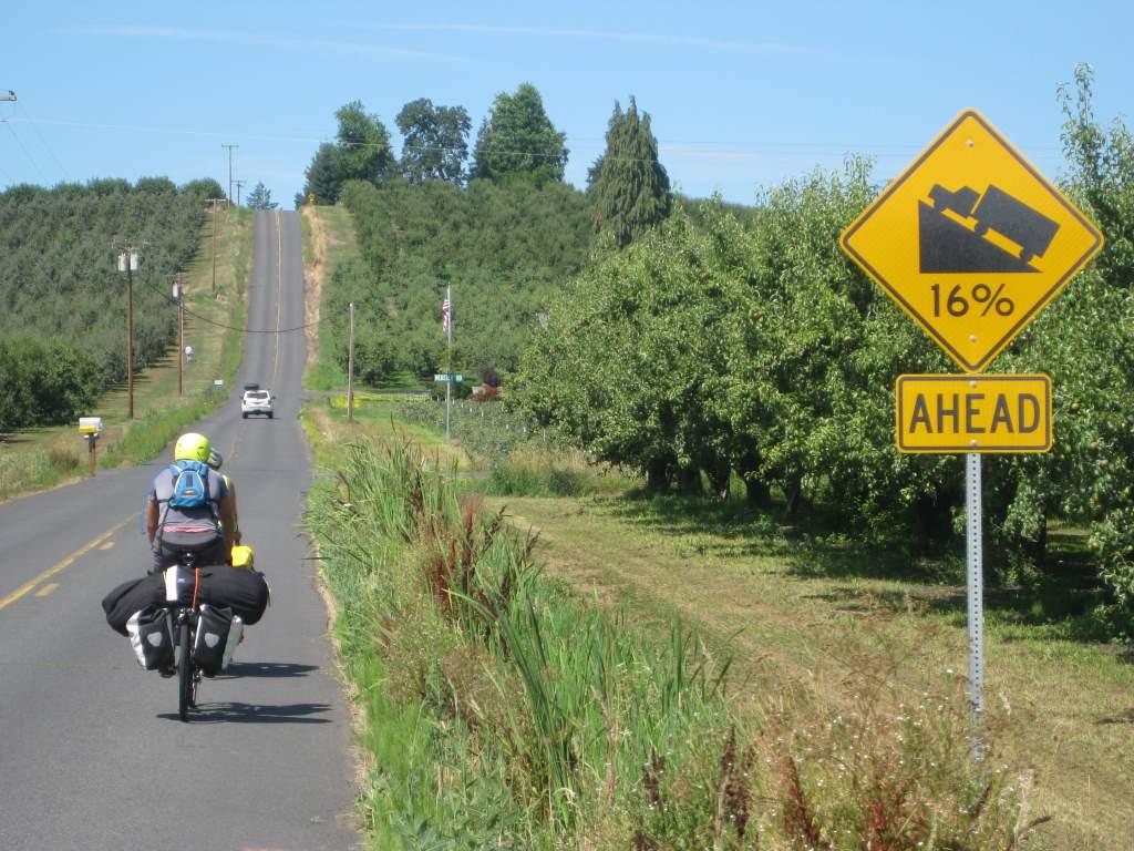
Farm roads sometimes have no respect for grade. This one at least gives us warning!

Farm roads sometimes have no respect for grade. This one at least gives us warning!

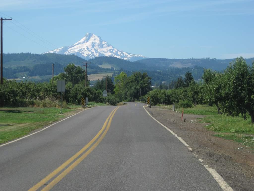
Riding towards Mt. Hood. I can't believe views of these majestic mountains are an everyday occurrence for people who live around here.

Riding towards Mt. Hood. I still can’t believe views of these majestic mountains are an everyday occurrence for people who live around here.


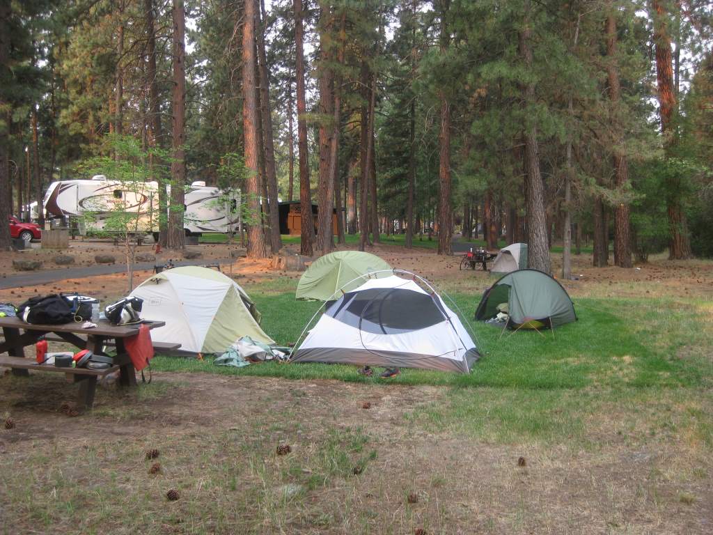
The hiker/biker campsites in the city park in Sisters, OR. A nice town with friendly folks. (Especially when compared to our previous night in Detroit...)

The hiker/biker campsites in the city park in Sisters, OR. A nice town with friendly folks. (Especially when compared to our previous night in Detroit…) I love that they brought in sod for us to camp on.

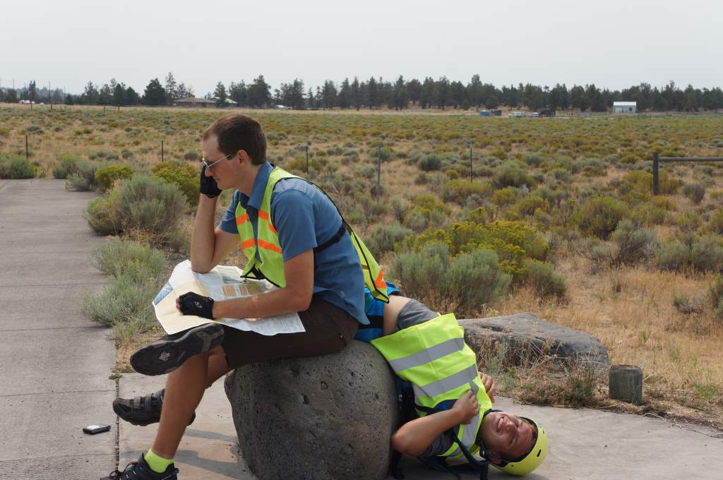
Jason calls a bike shop in Bend, and Ray is ... what?

Jason calls a bike shop in Bend, and Ray is … what?

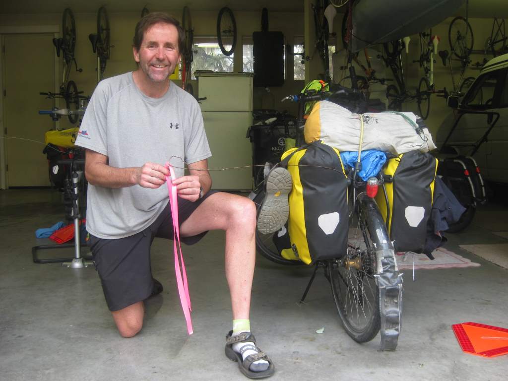
Dave, the friendly cyclist who adjusted Ray's bicycle and hooked us up with safety tape coat hanger flags. (Bye, bye safety triangles!) They work great - the cars give us lots of space now.

Dave, the friendly cyclist who adjusted Ray’s bicycle and hooked us up with safety tape coat hanger flags. (Bye, bye safety triangles!) They work great – the cars give us lots of space now.

On a side note, we learned that the passing distance for cars to go around bicycles in Oregon is: “far enough so that if the cyclist falls over the car wouldn’t run over them.” We’re not exactly sure how many feet that is, but it sounds like more than the 4 ft that is currently the law in PA!

Question Time – June 8

Q: How do you make sure you are going the right way and prevent from being lost? Especially if you side track to look for campsites and whatnot. Do you use an old fashioned atlas and follow a route that you mapped out beforehand? Do you look up campsites on the map or do you just find them based on signs you see on the road?

A: Luckily, up here in the far north, there is only ever one road to go down, so getting lost isn’t a problem! What we’ve been using to help guide us is The Milepost, which is an Alaska/Canada travel planner. They give mile-by-mile highlights on all the amenities and turnouts, etc., including campgrounds. Further south, in the US, we’ll use Adventure Cycling Association maps, which have turn-by-turn directions and amenities information. Further south still, we’ll probably just right down directions on paper and ask locals. I’ve read that some of the maps in South America just aren’t accurate and cannot always be trusted. At the beginning of the day we like to have an approximate destination in mind.  Also, we just ask folks along the way.  They are usually happy to help us, and sometimes even offer us a place to stay!


Silly display on side of road to Haines

Silly display on side of road to Haines

Q: How do you keep from scratching at your mosquito bites all the time? Seriously, itchy itchy! You must have a strategy. Inquiring minds want to know!

A: Daisy just scratches! Seriously! I try not to for 10 minutes, which is usually enough time for the main itchiness to subside. Mostly, though, trying not to get bitten in the first place is best. We’ve had good luck so far – since the weather has been cool at night most places the mosquitos haven’t been that bad.  At night sometimes we wear ridiculous bug hats.


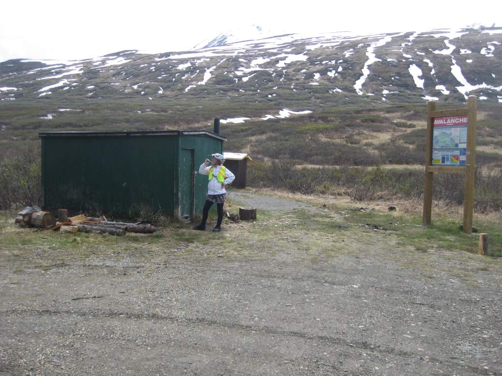
The green shack near Haines Road summit.

The green shack near Haines Road summit.

Q: How far do you ride each day?

A: After asking where we are riding to and from, the next question people always ask is this one. The answer is that we aim for 60 miles on a riding day. We’ve gone as much as 79 and as few as 40 miles over the course of a full day. On previous trips we have been able to do more miles daily, but our current set-up makes more than 60 or 70 pretty difficult.  Usually, we average about 10 miles an hour and ride 6 or 7 hours.


Q: Aren’t you going the wrong way?

A: Well, yes, and no.  Up here in the far North we get asked this a lot, because we have spent time riding East, West, South, and North instead of just heading straight south.  We just have a lot to see!  There is plenty of time for dawdling and seeing some extra sights while we are here, and the wiggles in route have been well worth it.