Category Archives: camping

Posts about where we stayed the night.

The Bella Coola Valley and the ferry odyssey

Riding in the stunning valley.

Riding in the stunning valley.

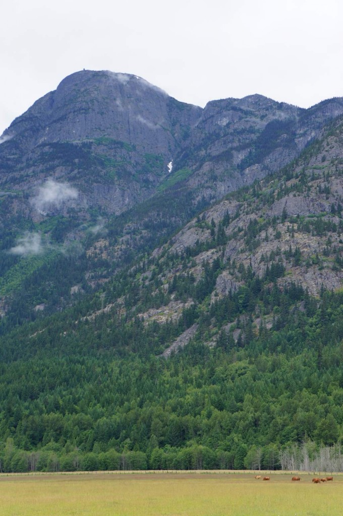
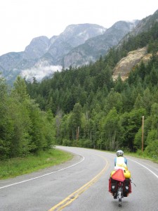
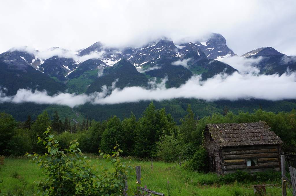
The road from the base of the steep hill to the village of Bella Coola passes through absolutely stunning scenery that we believe rivals even Yosemite. There are sheer cliffs and mountains on either side of a swift river, with hanging glaciers towering above. The forest is lush because of the frequent rain, and there are healthy populations of salmon and bears. We were so in awe of the place that it took us all day to ride less than 40 miles downriver – we had to stop to take picture after picture.


Cabin with a view

Cabin with a view

Cows with a view

Cows with a view

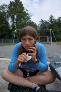
Calling for news about the ferry.

Calling for news about the ferry.

We stopped for lunch at an elementary school, and made a phone call to see if there was room on the ferry for both of us. There was! Celebration!

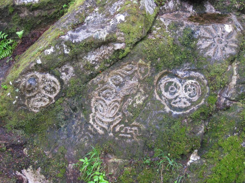
We also managed to locate a very well-hidden site of ancient petroglyphs. The collection of more than 100 rock-carvings is at the end of a trail that starts at the end of an unmarked dirt road, which in turn starts at the end of a minimally marked side road. Once there, we chanced upon a first nations man giving a tour to a German guy, and we happily joined up. It was a wonderful experience to hear the stories from the carvings, and also to hear songs from their culture. He showed us how the English alphabet has been adapted to write their language down, and even let us read along as he sang the words.
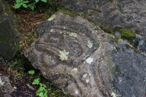
Ancient rock carvings

Ancient rock carvings

DSC00940After leaving the petroglyph site we finally made it into Bella Coola proper. We arrived at 5:45 to learn that the grocery store closed at 5:30. No! It was ok though, because we had only wanted to buy muffins for the morning. We did locate the campground in town, which was a blast. It was just a field behind a motel with a few picnic tables and another pair of hilarious touring cyclists. The ‘showerhouse’ was actually a mostly-abandoned house with a funky bathroom and kitchen that all were free to use. We got set up, showered, chatted with the cyclists who are travelling in southwest British Columbia for a little more than a week, and finally went to sleep prepared for an early start to catch the ferry.

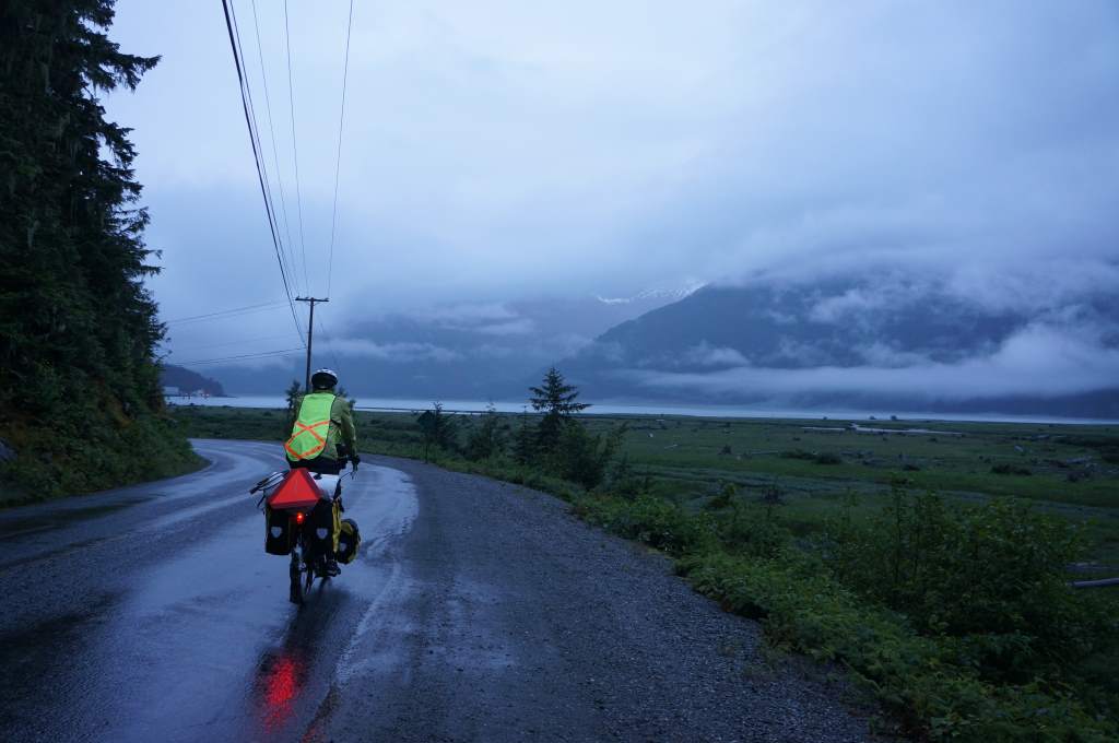
dawn light as we ride to the ferry dock.

dawn light as we ride to the ferry dock.

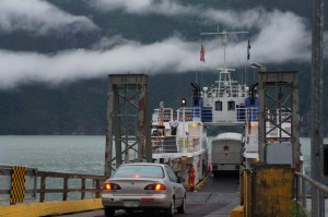
loading up the little ferry.

loading up the little ferry.

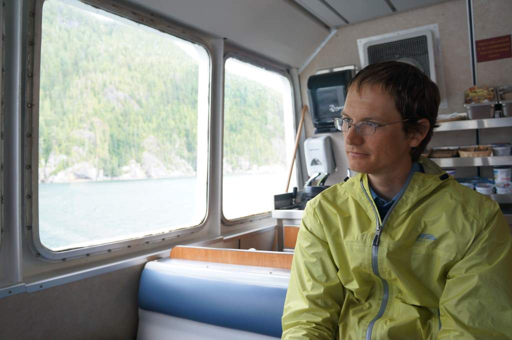
It truly was an early start for us – the alarm went off at 4:30 and we awoke to pouring rain again. It didn’t take too long to pack up our soggy gear, eat a breakfast of oatmeal, and ride to the ferry dock. We were there at 6:00 as they told us to be, just so that we could hurry up and wait for boarding at 7:00. The ferry was small, with room for a maximum of about 13 cars. On this particular trip, however, there was a coach bus full of seniors on a travelling tour. It made for crowded seating on the boat, but hours of entertainment. They loved to talk! We talked about our trip, about Canadian government, about all sorts of things. It was a riot.

Jason on the tiny ferry.

Jason on the tiny ferry.

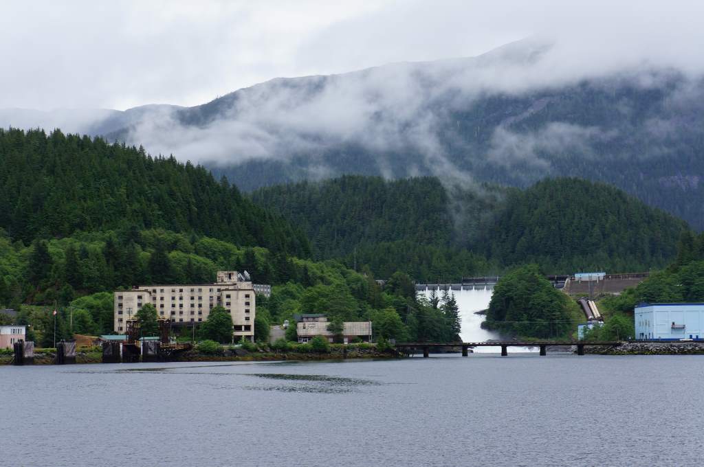
Tiny, mostly abandoned town.

Tiny, mostly abandoned town.

Rock meets water.

Rock meets water.

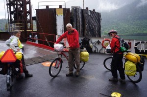
The tiny ferry carried us through deep fjords and we stopped in three small ports. At the first stop all the cars and bicycles were required to get off the ferry, turn around, and get back on. At the second stop, the bus and all the bicycles had to get off and on again to make room for an oncoming pick-up, and at the third stop everyone disembarked to change ferries. Holy cow! The second ferry was giant, and fast. It had multiple restaurants, state rooms, a bar, etc. We ate surprisingly good burgers with our new cyclist friends and also a pair of guys that had just completed an eight-day kayak trip.


Unboarding and reboarding...

Unboarding and reboarding…

After a nap on board, we finally arrived in Port Hardy at 11:00 pm. It was a 6-mile ride in the darkness from the ferry to our hostel, but we were very visible. As someone who passed us said, ‘it was like a lightshow’. Ha! To our surprise, we were upgraded from hostel bunks to a bed and breakfast in the hostel owners home. We had our own room, a big, soft bed, and a shower. What a treat!


Now, we are in the little town of Port Hardy at the northern end of Vancouver island. There seems to be so much to see and do on this long island, and we are looking forward to exploring a bit. We found a place to buy Maple Smoked Salmon, and already devoured half a pound of it. We plan to buy more this afternoon…
Canada’s Cowboy Country: The push for Bella Coola


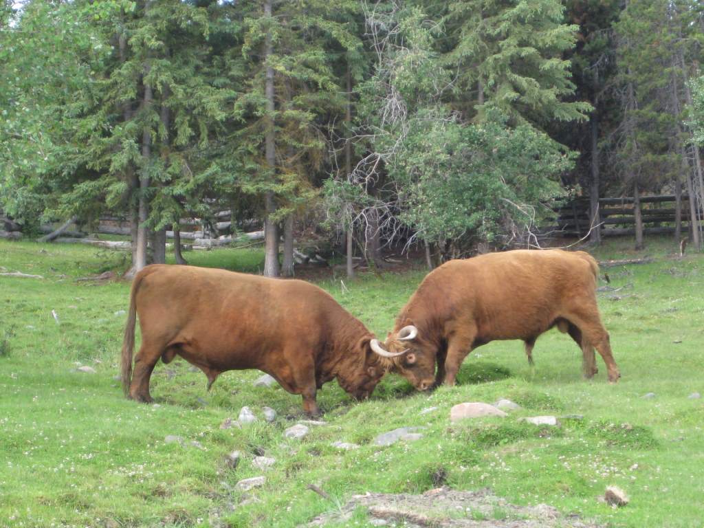
Bulls on a ranch

Bulls on a ranch

Wow, what an eventful week we have had. We are finally far enough south that we need our headlamps at night! Last time we wrote we were just outside of Prince George, and we had decided to push on with some long days to make the ferry on the 6th in Bella Coola. We made it! To see a map of where we’ve been, click on the Where are we Now? tab above.  Here is a recap of our journey this week. Because so much happened, I am splitting this into 2 somewhat lopsided posts!

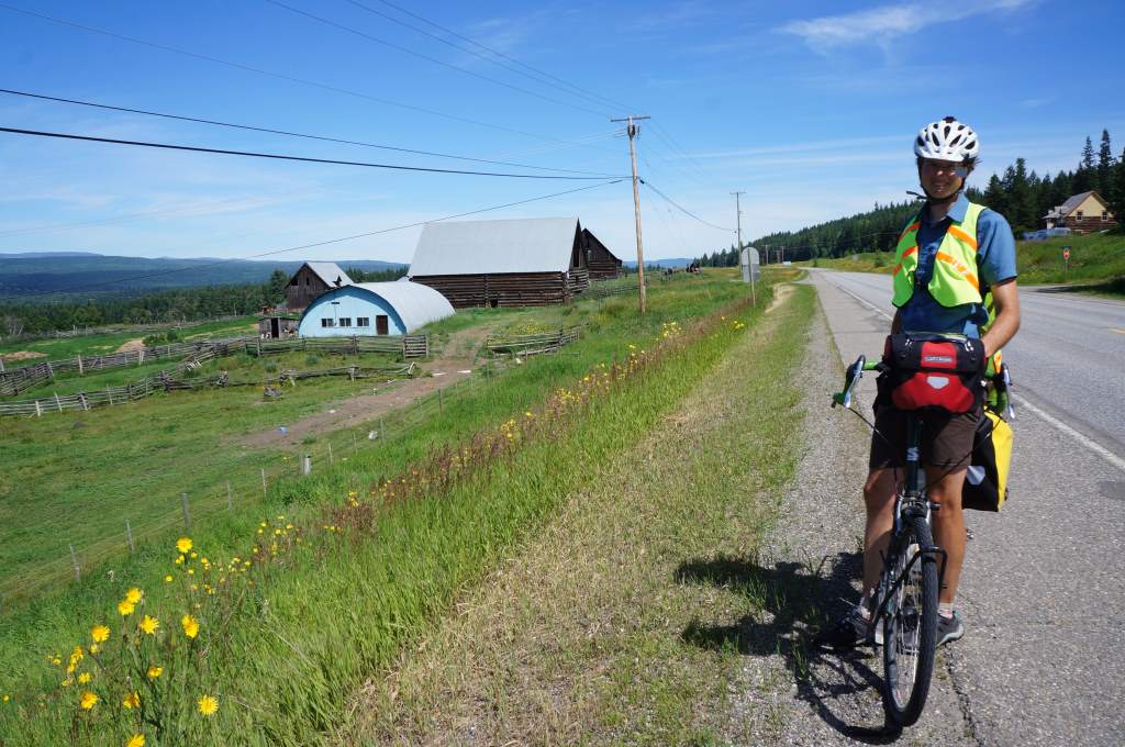
We've been riding by many farms and ranches.

We’ve been riding by many farms and ranches.

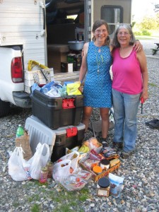
The buffet is open in camp!

The buffet is open in camp!

From Prince George, we headed south for two days along the busy Cariboo Highway. It really felt like we were just putting in the miles to get to nicer roads, since this one was full of traffic and through pleasant but uninspiring scenery. We stayed for one night in an RV park with a list of rules that took up most of a page, and another night in the camping portion of the local stampeded grounds.


Upon learning the ferry was full.

Upon learning the ferry was full.

On July 1, we called the ferry to make sure there was going to be room for two walk-ons. They said no! Apparently there was only room for one more, so we reserved that space and got first in line on the waitlist. We decided to gamble, and make a go for the ferry hoping that someone would make a cancellation.

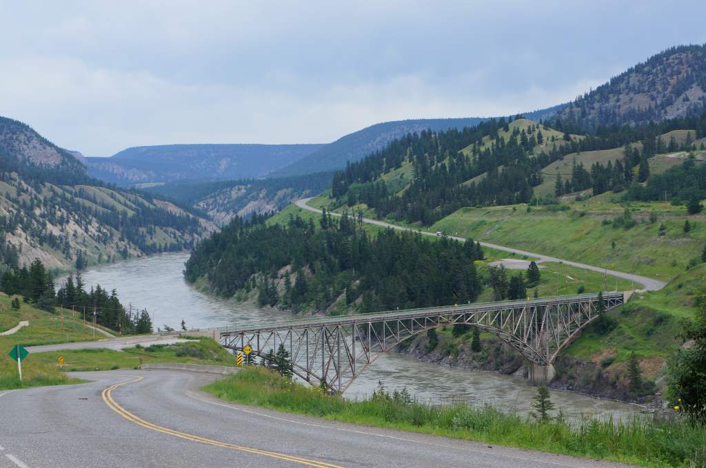
After finishing our ride south along the Cariboo, we turned sharply to ride west for four days. The scenery was to chance dramatically, and the traffic to be greatly reduced. We left the town of Williams Lake the morning on July 2, and quickly descended into ranchland alongside the Fraser River. This mighty river is a major Canadian landmark, and carves a deep canyon through the surrounding land. Deep canyon = steep climb out!

Climbing up and away from the Fraser

Climbing up and away from the Fraser


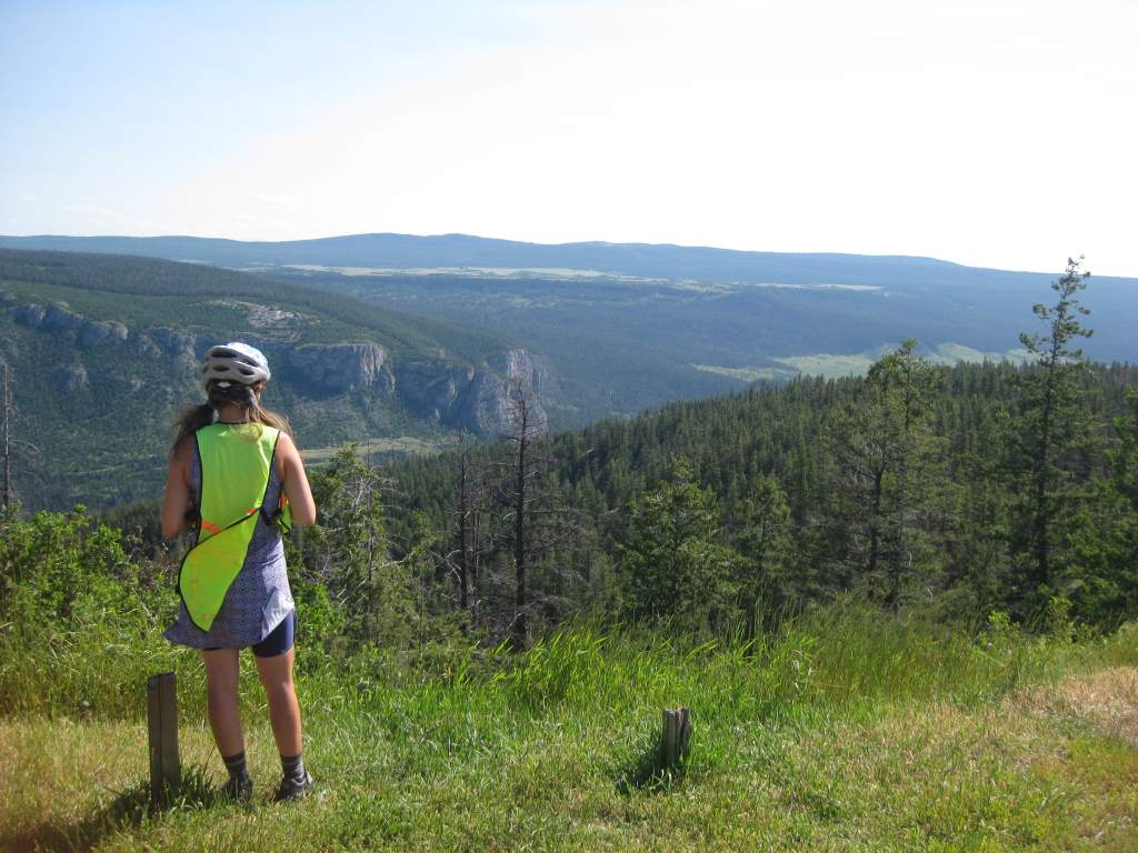
Scenic high country.

Scenic high country.

We climbed nearly 2000 ft. out of the canyon and emerged onto a high plateau of grassland, cows, and ranches. It was like a completely different world! We rode along the gently undulating plains, and met another pair of Spanish touring cyclists going the other direction. After weeks of cold and rain, it was sunny and hot hot hot. One day it reached 90 degrees!

We put on fresh breaks for the descent down a gravel pass.

We put on fresh brakes for the descent down a gravel pass.

Our first night out we stayed at Bull Canyon Provincial park, right next to a swiftly flowing river. It was a peaceful spot, and we slept well. The next few days would see us gradually climbing up up up to the coast mountains. The scenery seemed brand new – like we had emerged into the Canadian Wild West. There were cows next to and on the road, and horses too. They all seemed unphased by cars but terrified of cyclists.

Horses ahead.

Horses ahead.

The next two days were full of headwinds, and more gentle climbing. By the end of those days we were exhausted from fighting the wind all day. My parents finally returned our bags and went their own way on the fourth of July. It was sad to see them go – we have had so much fun with them, and certainly appreciated the light bicycles and delicious food every night. Thank you!!


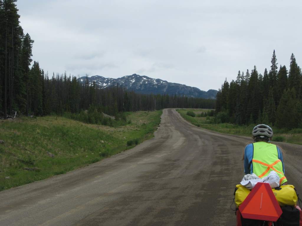
Gently climbing up the pass.

Gently climbing up the pass.

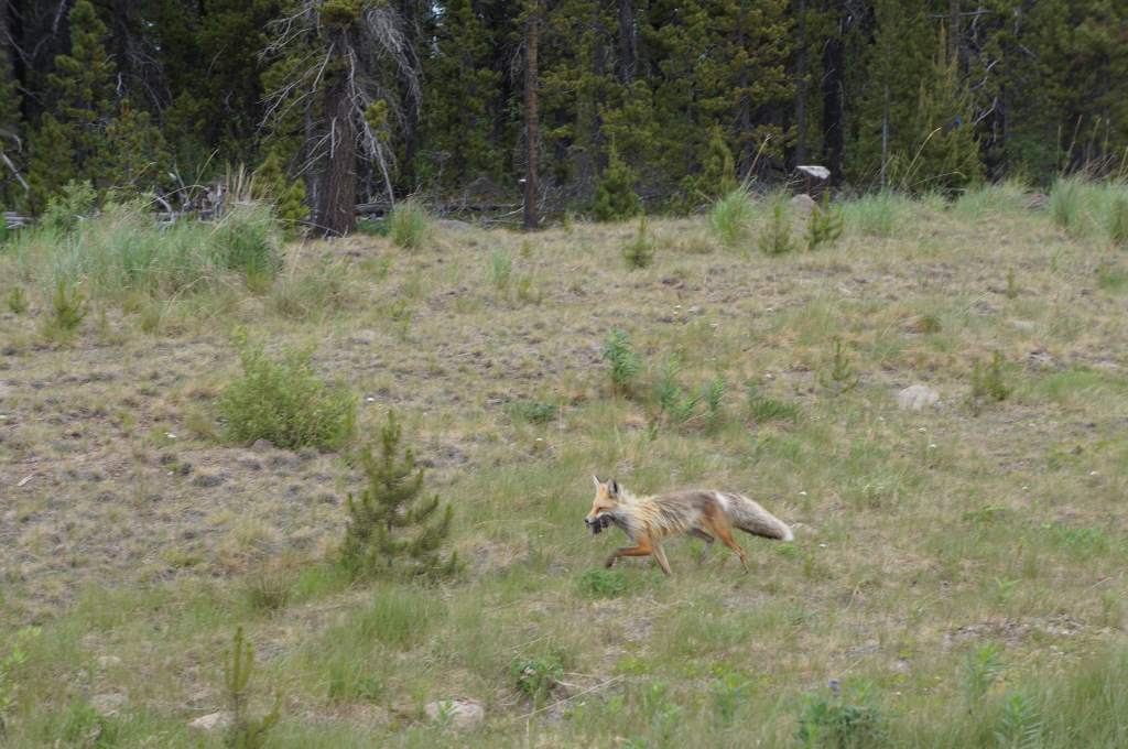
IMG_0780We got out bags back just when the pavement ended and the climb to the top of Heckman Pass (5000′) began. To be honest, the climb was pretty easy. The road slowly gained elevation over more than 20 miles through uninterrupted forest and a belt of wildflowers along the road. Most notable during our climb was our encounter with Crazy Fox. Crazy Fox was trotting along next to the highway when we first saw him, carrying about 5 dead mice in his mouth. He barked at us as we approached, and seemed to have no fear of us at all. I whistled at him, which at least got him off the road, but he continued to trot forward with us for a few miles. After a hill, we thought we had finally lost him and stopped for a snack. Suddenly, there he was again, approaching Jason and looking for a handout! Jason scared him off, and we quickly moved away again. Crazy Fox! Apparently, he had also approached other travelers who we spoke to down the road.

Crazy Fox!

Crazy Fox!

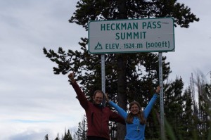
Summit!  highest so far at 5000'

Summit! highest so far at 5000′

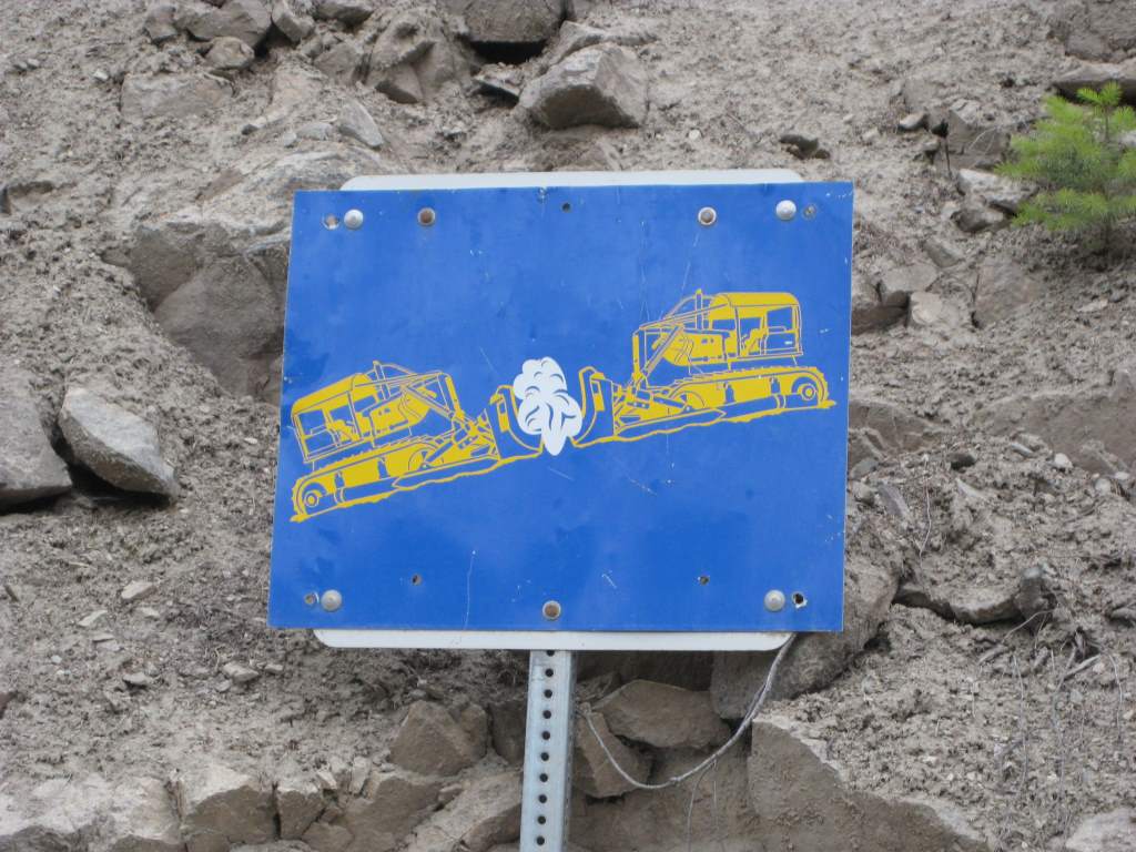
We finally reached the summit, and after the obligatory photo began riding the swift drop down to sea level. This is called the Freedom Highway, or Freedom Road, because the coast mountains are so forbidding the government refused to build the road for the locals. The locals, however, took matters into their own hands and bulldozed the road themselves. We saw the place where the bulldozers from both sides met. Now, the road is well-maintained but still a challenge. The grades range from 11% to 18% through steep switchbacks. We had to stop multiple times to allow our brakes to cool down, but we made it!

Where the bulldozers met when they made the road.

Where the bulldozers met when they made the road.

At the bottom we had planned to camp at a Provincial Campground, and we arrived around 9:00 to find it had been closed due to flooding. Yikes! We could have slept anywhere, but this was a pretty active bear area and Daisy freaked out and wanted to stay around other people. So, we pushed on about 10 more miles to the next campground, arriving exhausted just before dark. It didn’t seem like it would rain that night, but rain it did. It started in the night and continued until morning.

Stopping to let the brakes cool.

Stopping to let the brakes cool.


Next up – the ride into Bella Coola, and taking the 16-hour ferry ride to Vancouver Island.

Civilization! We made it to Prince George

We have moved from the mountains to the open skies!

We have moved from the mountains to the open skies!


DSC00634

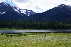
A horse with a mountain backdrop.

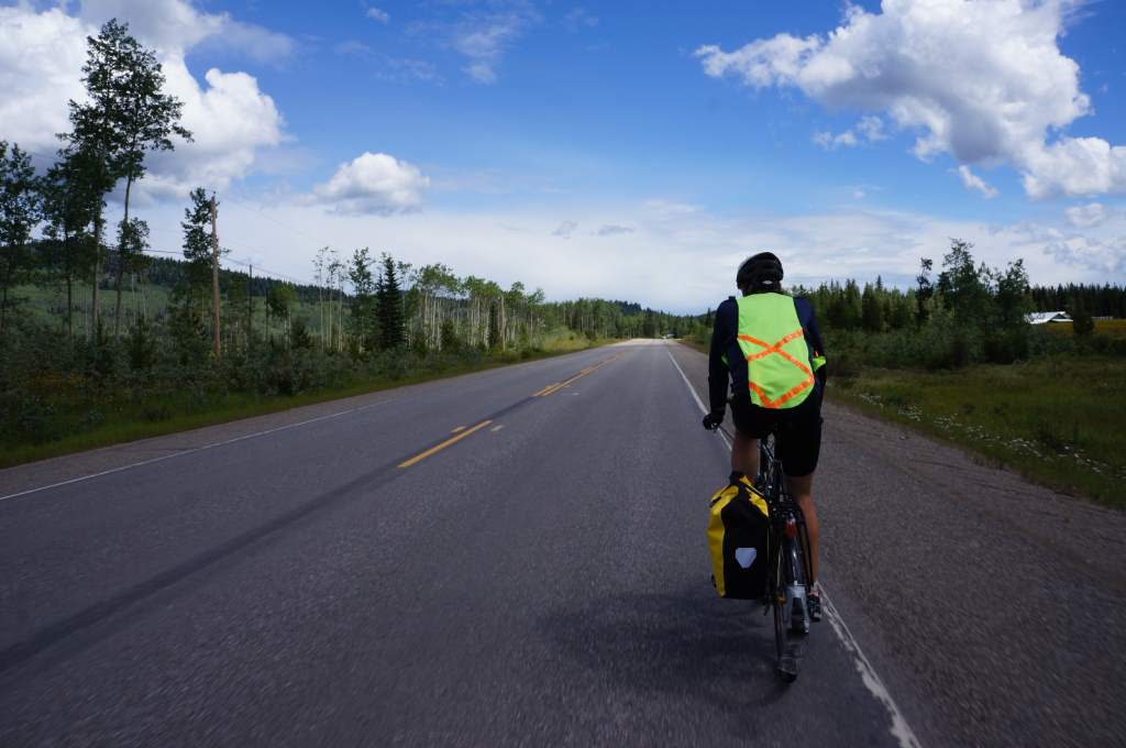
The ride from the bottom of the Cassiar to Prince George has taken us through many small towns, increasing levels of agriculture, and a gradual transition from mountain scenery to plains. We have taken some very easy days, as few as 40 miles one day, and also one long long day of 84 miles! The road has gotten increasingly busy, and the shoulder has varied from excellent to non-existent. Our little bicycle mirrors, attached to our helmets, have been invaluable to us. We always know what is approaching from both behind and ahead, and we always are ready to “bail” if needed. We did so no less than four times today, as large cars came from both ahead and behind with no room for us. Don’t worry, readers, the roads will be better for us as we head south from here, at least for a while.

Since in our last post I forgot to include a shot of the rainbow at the end of the Cassiar, I include it now:

DSC00605

A beautiful sight from camp.

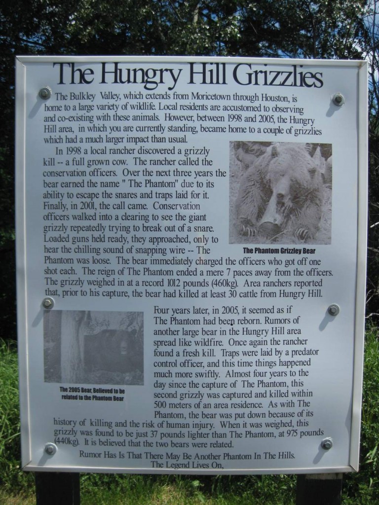
Click to enlarge for reading!

Click to enlarge for reading!

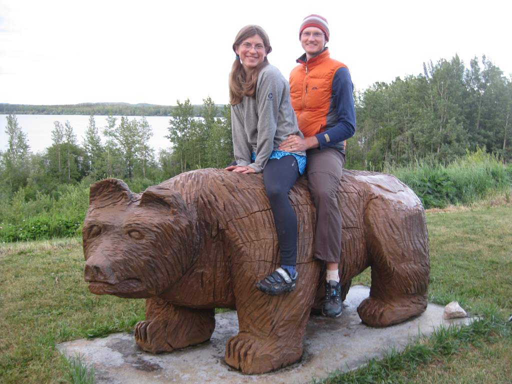
In general, our days have been pleasant; the rain and headwinds now seem to be a distant memory. At first there were some decent hills, even with summit signs! Our favorite was called `Hungry Hill’, and it came with a neat story on local history. In summary, there was a giant grizzly bear in the area in the late 1990s that was feasting on cows. It evaded capture for four years, and when it was finally caught it broke the trap and was shot by panicked deputies. It weighed over 1000 pounds! A few years later in 2004, a relative of this ‘phantom bear’ again began to eat cows. This one was captured more quickly, and also weighed around 1000 pounds. That is a HUGE bear, and it is more than a little terrifying to think of bears that size prowling about!

Would a 1000 pound grizzly be this big??

Would a 1000 pound grizzly be this big??


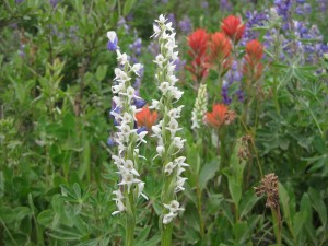
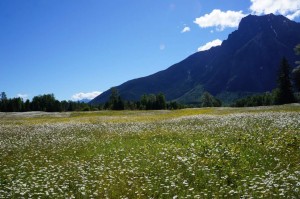
So many flowers next to the road!

So many flowers next to the road!

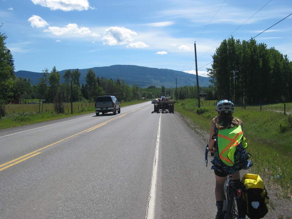
We have seen some fun sights along this road, from huge fields of flowers, to a traffic back-up involving three touring cyclists, a tractor, and passing cars.


A traffic back-up - there was another touring cyclist ahead of the tractor!

A traffic back-up – there was another touring cyclist ahead of the tractor!

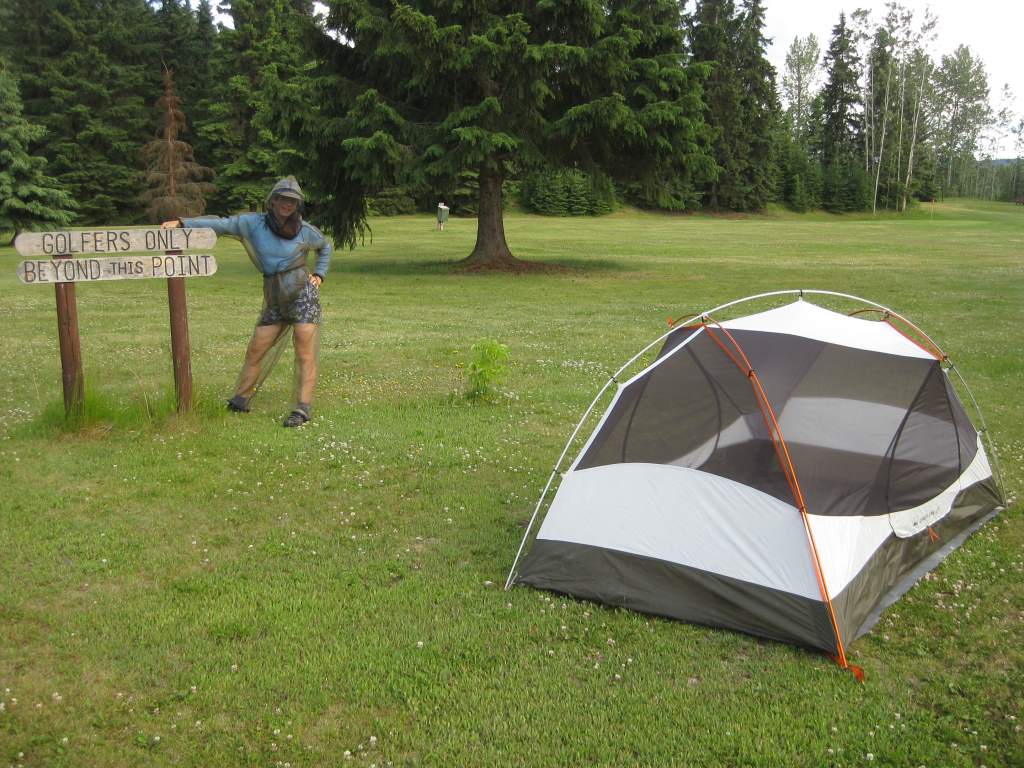
We have spent nights in a long string of funny RV parks, and one free municipal park in a small town. My parents continue to feed us mountains of vegetables and fresh food every night. One night we stayed at a golf course, and found great amusement watching golfers go by. One group was particularly hilarious, because they were five ‘bros’ in baggy pants and ball caps. Playing golf!


A night at the Par 3 and RV.  That is my bug suit!

A night at the Par 3 and RV. That is my bug suit!

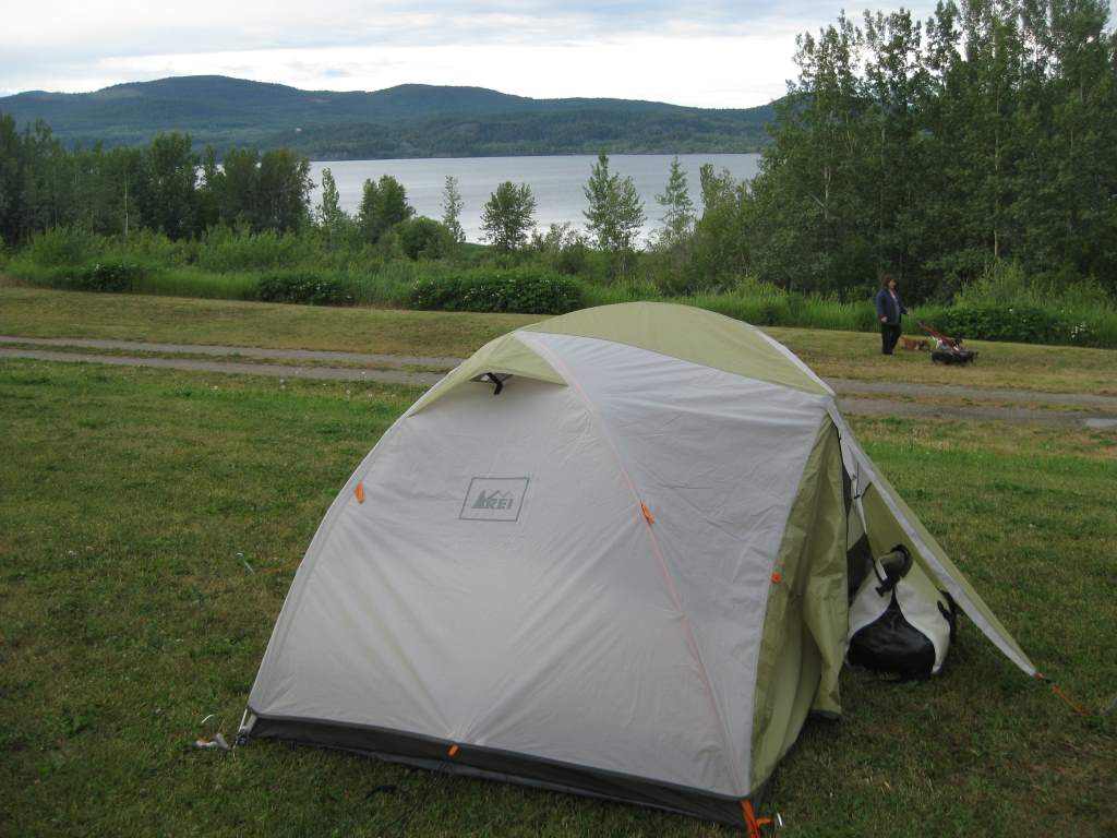
This park had a lovely view.  We didn't even mind the trains going by next to lake!

This park had a lovely view. We didn’t even mind the trains going by next to lake!


Surely I should be doing something besides pleasure reading...

Surely I should be doing something besides pleasure reading…
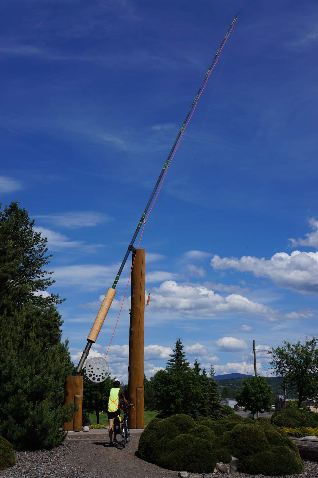
I have been finishing a long series of books, so it’s been difficult to focus on much in the evenings besides my Kindle. Don’t worry, statisticians out there, my dissertation is still coming along, just… more slowly until I finish this novel. Oh! We also saw the tourist attraction of the world’s largest fly rod. How silly – it is 6 times larger than a normal fishing pole, and of course completely useless. We took the obligatory photos of course.


World's largest (but not most useful) fly rod.

World’s largest (but not most useful) fly rod.

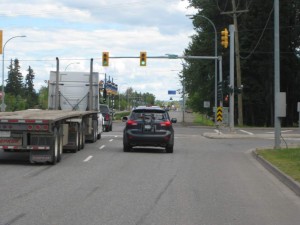
A traffic light!  Panic!

A traffic light! Panic!

It is interesting to ride into a biggish city – Prince George has about 80,000 inhabitants, so the highways are busy busy, and also the only way in or out of this town. We hadn’t planned on arriving today, but a tailwind and the reduced Sunday traffic convinced us to ride later and arrive a day earlier than planned.  We made it despite the first flat tire of the trip.  Jason got a staple stuck in his tire.  A staple! It was easily fixed.

Originally, we were going to take a rest day here and then head leisurely south and to the coast to catch a ferry to Vancouver Island on the July 11th. We checked the ferry schedule though, and the service has been reduced greatly. Now our options are July 6 or July 12, and we’ve decided to press on to get ahead of schedule. Inland British Columbia has been a wonderful experience, but we are ready for a new adventure on Vancouver Island. Hopefully conditions are good, and we are able to make it in time to catch the ferry!

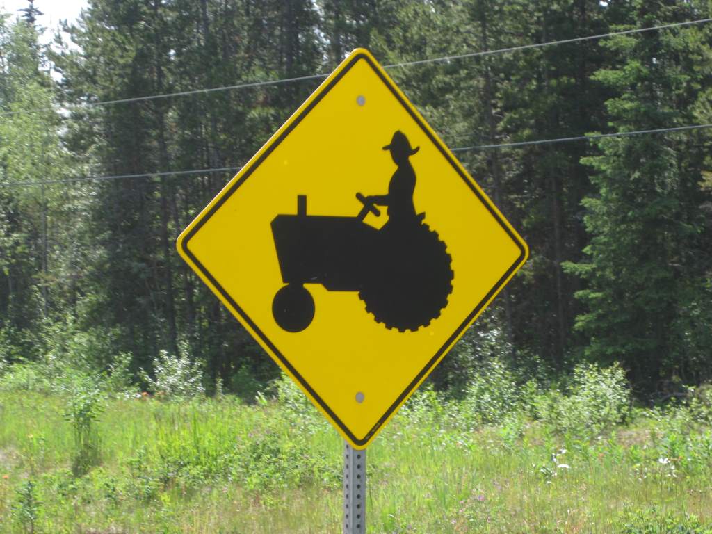
We love the detail on these signs.  Look at that hat!

We love the detail on these signs. Look at that hat!

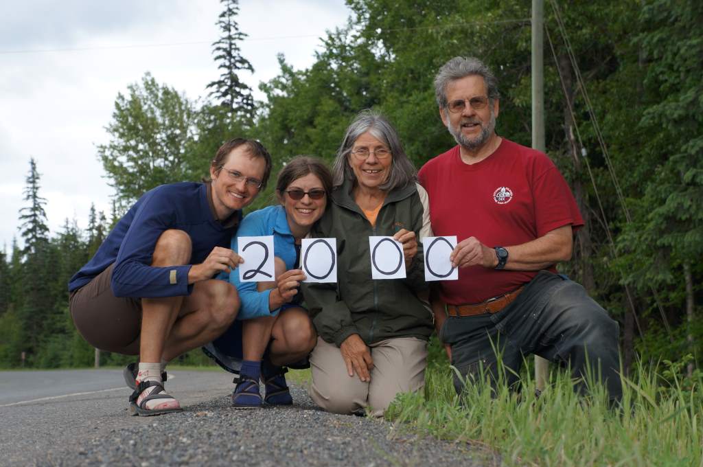
We completed the Cassiar! And hit 2000 miles.

We have now ridden 2000 miles since Anchorage!

We have now ridden 2000 miles since Anchorage!

Well, we have now ridden all of the Cassiar, and we are well on our way to our next ‘wiggle’ that takes us East, South, and West (in that order).   Finishing the Cassiar is a big deal for us – for so long it has seemed a highway of mystery, mountains, and above all bears.  It took us 8 riding days and was certainly a challenge, despite having lightened loads thanks to our parents.   Here are a few things that made it a challenge:

1.  Headwinds.  We had headwinds for 7 of the 8 days we spent riding.  This affected both speed and morale, because it is quite dispiriting to have to pedal hard while going downhill, just to keep above 8 miles per hour!

2. RAIN.  It rained every day but the first!  The mountains poked out occasionally, but were more often shrouded in low clouds.  At night, thunderstorms often rolled through camp and we got used to packing up a soaked tent.  The damp also prevented us from doing laundry in any serious sort of way.

3. Bears.  Ok, so seeing bears along the side of road is amazing, and thrilling, and scary!  I (Daisy) would get a serious adrenaline jump at the sight of a black spot ahead.  In all, we saw 13 bears on this road.  This includes cubs, mommas, and singletons.  Some we saw very close to us, within ten feet.

Another day, another bear sighting...

Another day, another bear sighting…

Despite of, or perhaps because of these things, we feel very satisfied to have ridden the Cassiar Highway in its entirety.  It’s a big checkmark on our bucket list now.  And, of course, when it wasn’t pouring rain it was lovely!

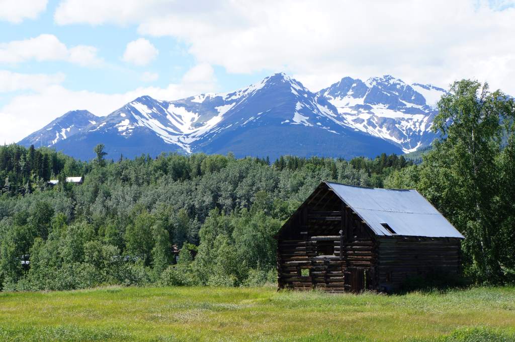
At the end of the Cassia, we started to see houses, including some very old ones.

At the end of the Cassia, we started to see houses, including some very old ones.

Let me share a few highlights from our miscellaneous adventures since our last update.

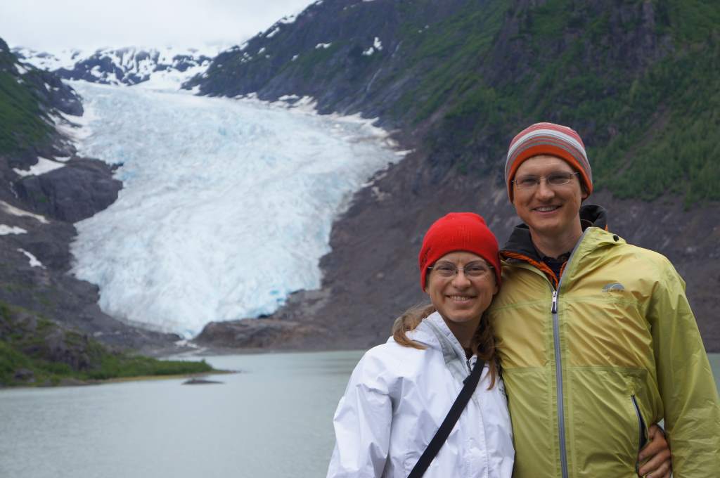
We took a rest day to visit the tiny little towns of Stewart, BC and Hyder, AK.  They are both at the head of a 90 mile fjord in from the Pacific and are surrounded by mountains.  We drove in on a spur road with my parents.  The road went right by Bear Glacier:

A pretty phenomenal roadside attraction.

A pretty phenomenal roadside attraction.

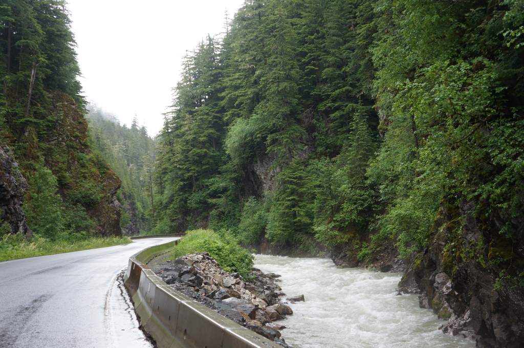
  And through a tight, steep canyon along a river:

On the road to Stewart.

On the road to Stewart.

Climbing down to rescue the dog.

Climbing down to rescue the dog.

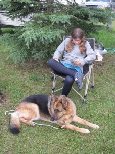
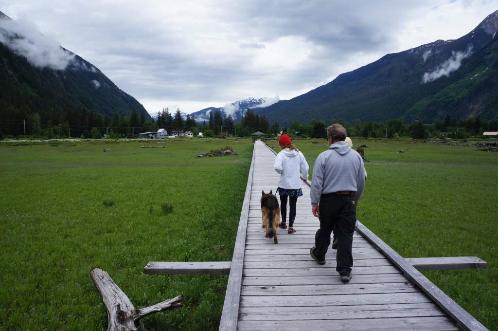
The most remarkable part of our visit to Stewart was our stroll along the estuary boardwalk with my parents and their German shepherd, Citrus.  It was a lovely, peaceful walk until we met another group of walkers.  They had a small dog running along beneath the boardwalk who barked up at us.  In a moment of confusion, Citrus stepped backward and off the side.  She fell more than six feet!  Luckily, the ground was soft and she miraculously landed without injury.  I am not sure who was more surprised: Citrus, who learned suddenly that she cannot fly, or the small dog who saw a German shepherd fall from the sky.  My dad and I climbed down and managed to lift her back to safety.  We all agree to never take Citrus on another boardwalk!

Walking along the surprisingly treacherous path.

Walking along the surprisingly treacherous path.

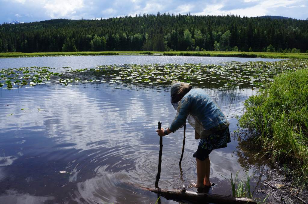
We stayed a night at a miniature campground on the miniature Bonus Lake.  There were three campsites! The lake held unexpected fun for us too.  I tried to retrieve water for washing, but retreated when some leech-looking creature got too close to my leg.  We kept seeing lots of fish jumping all over the lake, and decided to lure them closer by tossing bits of bread in.  It was so fun to see them swimming up for a little snack!  The party didn’t last long, however, before a powerful thunderstorm blew in and sent us all scurrying for shelter.  Drat!

A complicated attempt to retrieve clear water from a very muddy lake-pond.

A complicated attempt to retrieve clear water from a very muddy lake-pond.

A sneak peek into Jason's snack-filled handlebar bag!

A sneak peek into Jason’s snack-filled handlebar bag!

Our last day on the Cassiar was super super full of adventures.  We saw an ore truck that had driven off the road in the storm.  Workers were busily shoving ore back into giant sacks next to the overturned semi.  Soon after that, we saw a momma bear with three cubs eating dandelions right next to us on the road.  Later that afternoon, we also saw a juvenile bear who seemed interested in approaching us, until I used our bear deterrent: a whistle.  At the first blow, he put his ears back in distaste, and at the second he ran away!  Phew, what a relief.

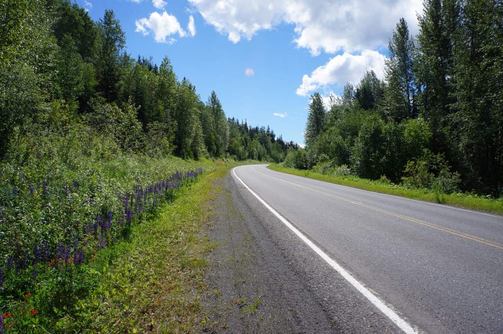
When the clouds cleared, there was blue sky, and so many wildflowers.

When the clouds cleared, there was blue sky, and so many wildflowers.

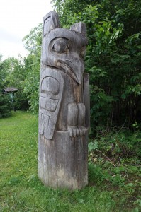
A sentry at the entrance.

A sentry at the entrance.

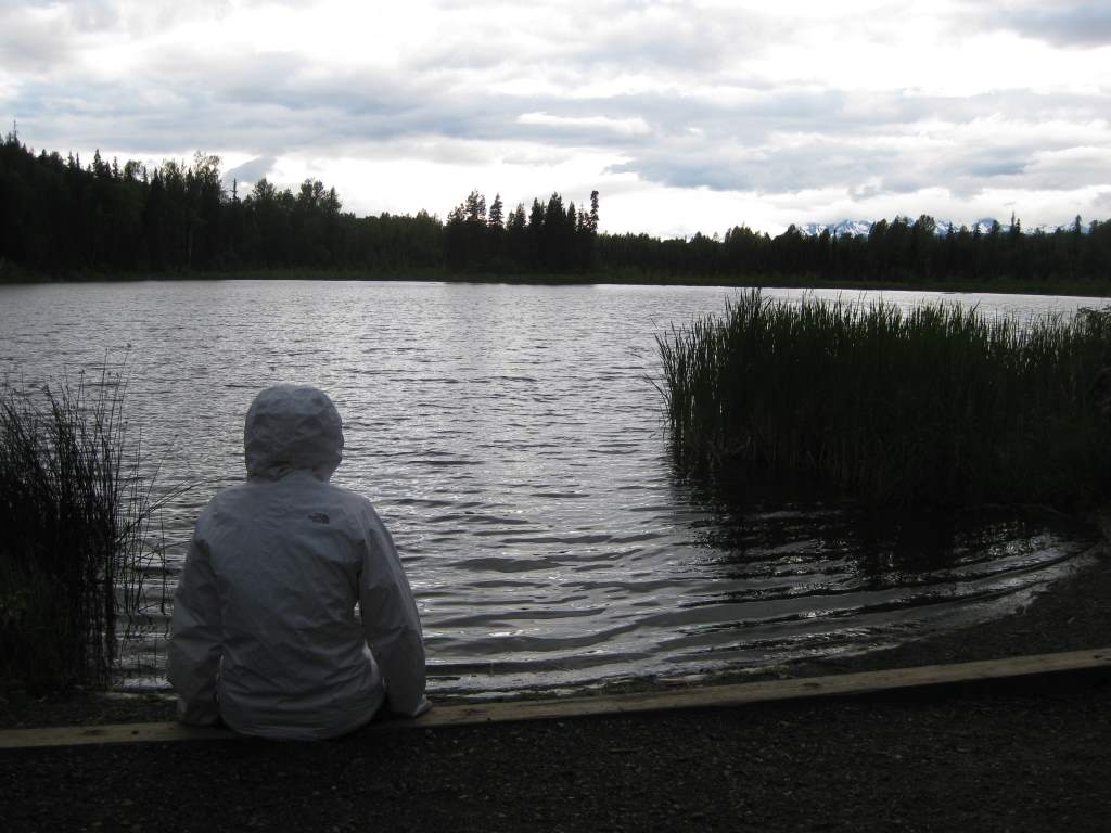
In the evening, we took a side trip to historic Old Hazelton, crossing a high suspension bridge and viewing first nation totems and artwork.  That night we stayed in a Provincial park campground with world’s tiniest swimming area.  I used it to gather water, and discovered a wealth of tadpoles.  When the inevitable rain came that night in the form of a thunderstorm, we were gifted a beautiful double rainbow over the mountains.  Wow.

The thunderclouds moved in past the tall totems.

The thunderclouds moved in past the tall totems.

Now, we are on the Yellowhead Highway, and suddenly in the land of services, grocery stores, and (gasp!) agriculture.  Today, we even saw cows!  We will head west to Prince George, then south again for a bit.  The highway is busier, but the shoulder is better, so it should still be a pleasant ride.

Overlooking "world's smallest swim area".

Overlooking “world’s smallest swim area”.