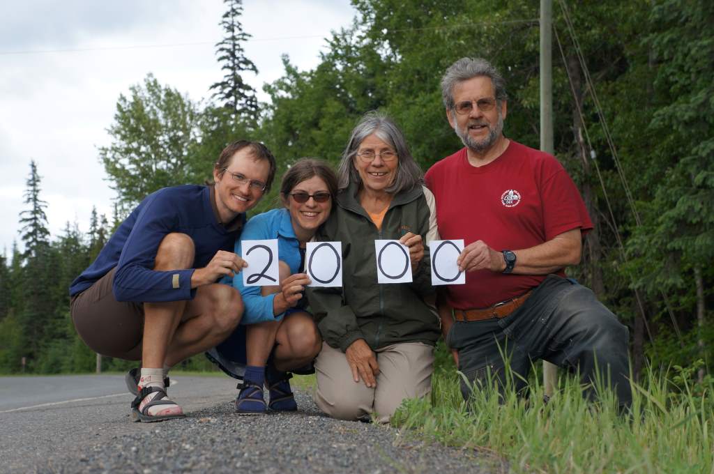
We have now ridden 2000 miles since Anchorage!
Well, we have now ridden all of the Cassiar, and we are well on our way to our next ‘wiggle’ that takes us East, South, and West (in that order). Finishing the Cassiar is a big deal for us – for so long it has seemed a highway of mystery, mountains, and above all bears. It took us 8 riding days and was certainly a challenge, despite having lightened loads thanks to our parents. Here are a few things that made it a challenge:
1. Headwinds. We had headwinds for 7 of the 8 days we spent riding. This affected both speed and morale, because it is quite dispiriting to have to pedal hard while going downhill, just to keep above 8 miles per hour!
2. RAIN. It rained every day but the first! The mountains poked out occasionally, but were more often shrouded in low clouds. At night, thunderstorms often rolled through camp and we got used to packing up a soaked tent. The damp also prevented us from doing laundry in any serious sort of way.
3. Bears. Ok, so seeing bears along the side of road is amazing, and thrilling, and scary! I (Daisy) would get a serious adrenaline jump at the sight of a black spot ahead. In all, we saw 13 bears on this road. This includes cubs, mommas, and singletons. Some we saw very close to us, within ten feet.

Another day, another bear sighting…
Despite of, or perhaps because of these things, we feel very satisfied to have ridden the Cassiar Highway in its entirety. It’s a big checkmark on our bucket list now. And, of course, when it wasn’t pouring rain it was lovely!
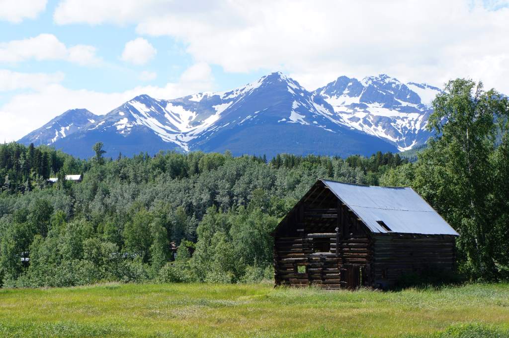
At the end of the Cassia, we started to see houses, including some very old ones.
Let me share a few highlights from our miscellaneous adventures since our last update.
We took a rest day to visit the tiny little towns of Stewart, BC and Hyder, AK. They are both at the head of a 90 mile fjord in from the Pacific and are surrounded by mountains. We drove in on a spur road with my parents. The road went right by Bear Glacier:
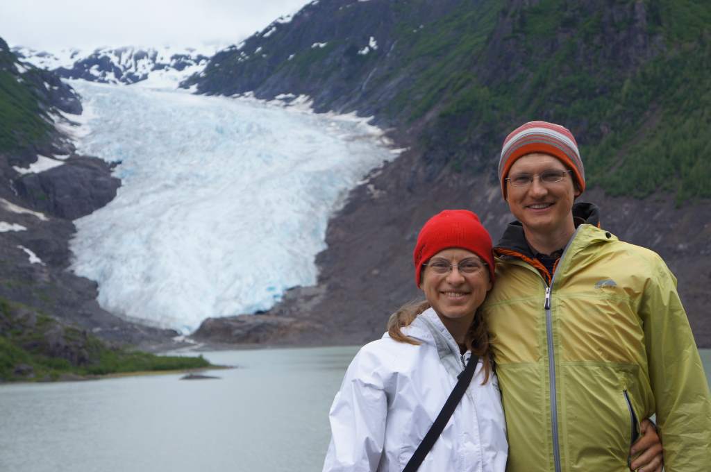
A pretty phenomenal roadside attraction.
And through a tight, steep canyon along a river:
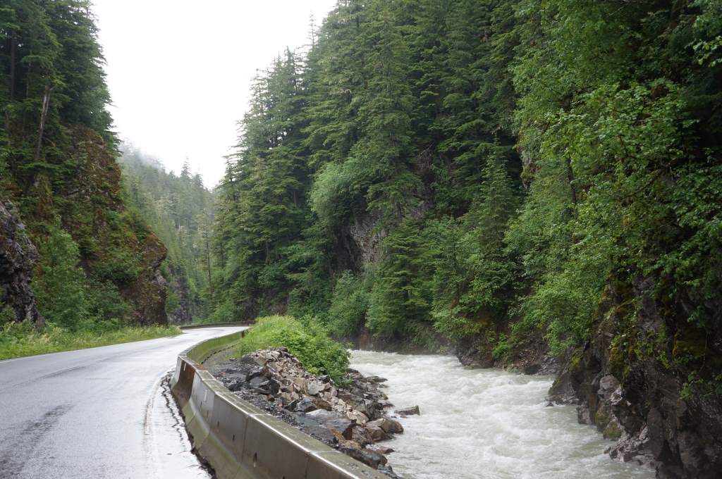
On the road to Stewart.

Climbing down to rescue the dog.
The most remarkable part of our visit to Stewart was our stroll along the estuary boardwalk with my parents and their German shepherd, Citrus. It was a lovely, peaceful walk until we met another group of walkers. They had a small dog running along beneath the boardwalk who barked up at us. In a moment of confusion, Citrus stepped backward and off the side. She fell more than six feet! Luckily, the ground was soft and she miraculously landed without injury. I am not sure who was more surprised: Citrus, who learned suddenly that she cannot fly, or the small dog who saw a German shepherd fall from the sky. My dad and I climbed down and managed to lift her back to safety. We all agree to never take Citrus on another boardwalk!
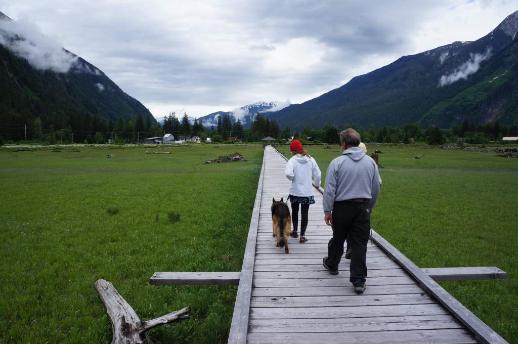
Walking along the surprisingly treacherous path.
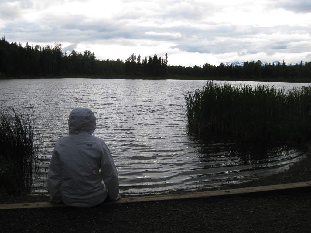
We stayed a night at a miniature campground on the miniature Bonus Lake. There were three campsites! The lake held unexpected fun for us too. I tried to retrieve water for washing, but retreated when some leech-looking creature got too close to my leg. We kept seeing lots of fish jumping all over the lake, and decided to lure them closer by tossing bits of bread in. It was so fun to see them swimming up for a little snack! The party didn’t last long, however, before a powerful thunderstorm blew in and sent us all scurrying for shelter. Drat!
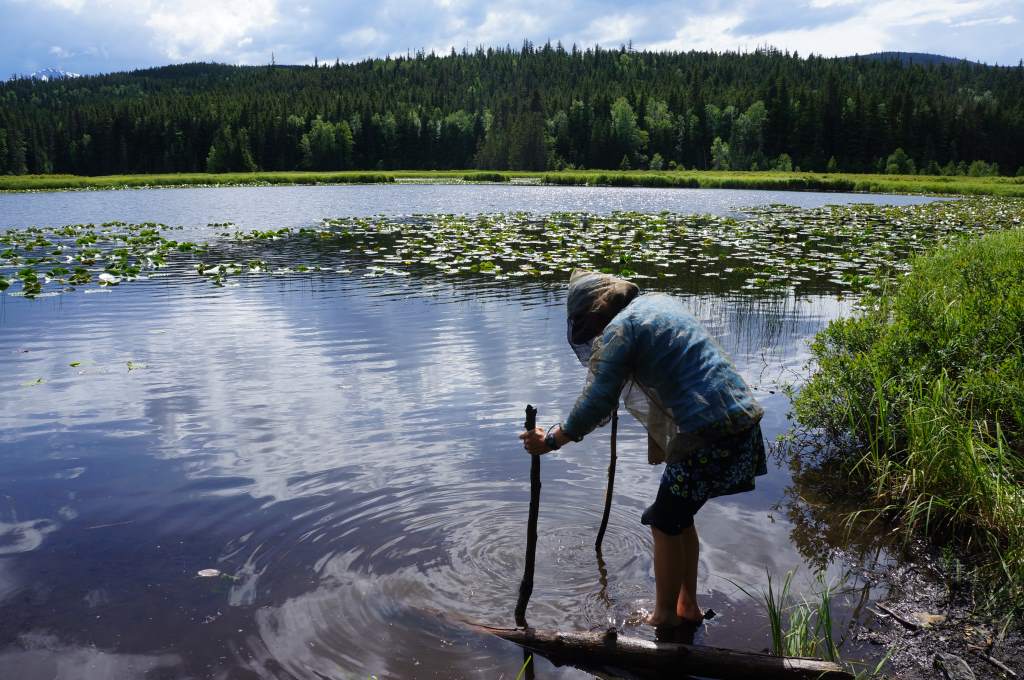
A complicated attempt to retrieve clear water from a very muddy lake-pond.

A sneak peek into Jason’s snack-filled handlebar bag!
Our last day on the Cassiar was super super full of adventures. We saw an ore truck that had driven off the road in the storm. Workers were busily shoving ore back into giant sacks next to the overturned semi. Soon after that, we saw a momma bear with three cubs eating dandelions right next to us on the road. Later that afternoon, we also saw a juvenile bear who seemed interested in approaching us, until I used our bear deterrent: a whistle. At the first blow, he put his ears back in distaste, and at the second he ran away! Phew, what a relief.
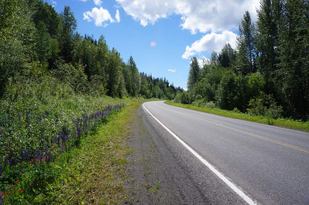
When the clouds cleared, there was blue sky, and so many wildflowers.

A sentry at the entrance.
In the evening, we took a side trip to historic Old Hazelton, crossing a high suspension bridge and viewing first nation totems and artwork. That night we stayed in a Provincial park campground with world’s tiniest swimming area. I used it to gather water, and discovered a wealth of tadpoles. When the inevitable rain came that night in the form of a thunderstorm, we were gifted a beautiful double rainbow over the mountains. Wow.

The thunderclouds moved in past the tall totems.
Now, we are on the Yellowhead Highway, and suddenly in the land of services, grocery stores, and (gasp!) agriculture. Today, we even saw cows! We will head west to Prince George, then south again for a bit. The highway is busier, but the shoulder is better, so it should still be a pleasant ride.
Overlooking “world’s smallest swim area”.