There was so much adventure and fun (i.e. struggle!) during this 4-day stretch!
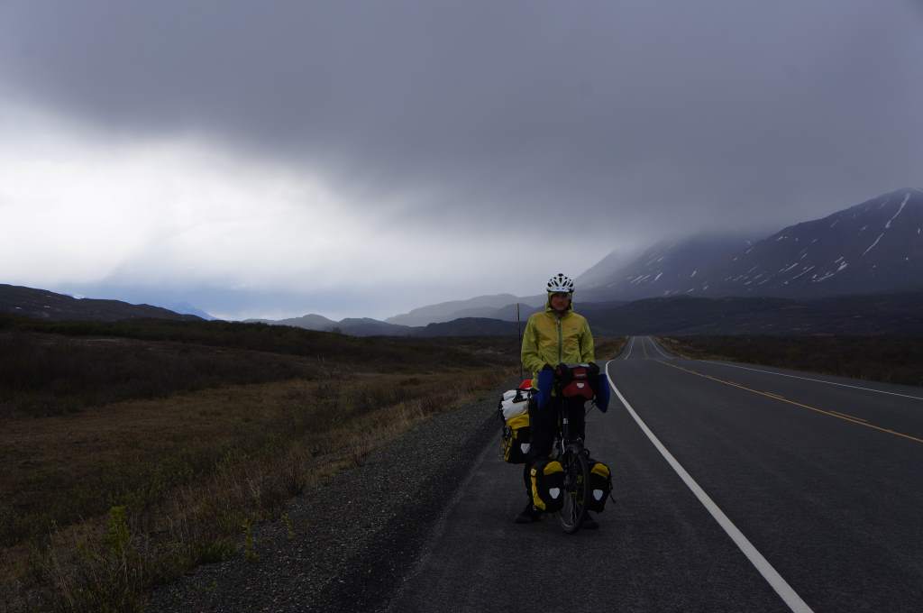
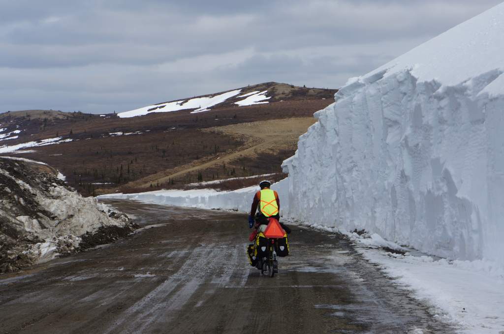
The storms threaten!
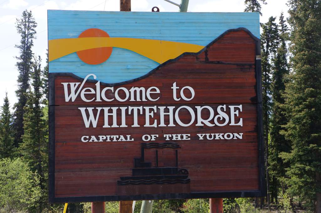
Whitehorse to Haines is about 250 miles, with one small town (no grocery store) and one stunning mountain pass. We left Whitehorse later in the day after being thoroughly spoiled by our friend Alice. In fact, we were so well fed that we didn’t even bother making dinner that first night, opting instead to eat left-over pancakes from the breakfast she had made us!
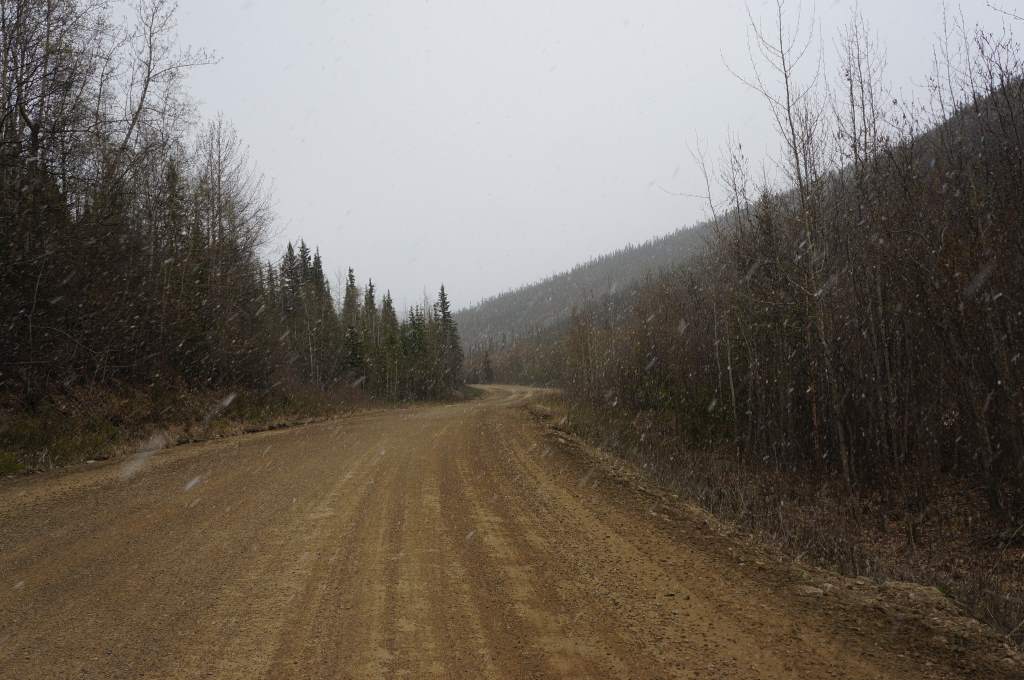
Dirt turned to mud…
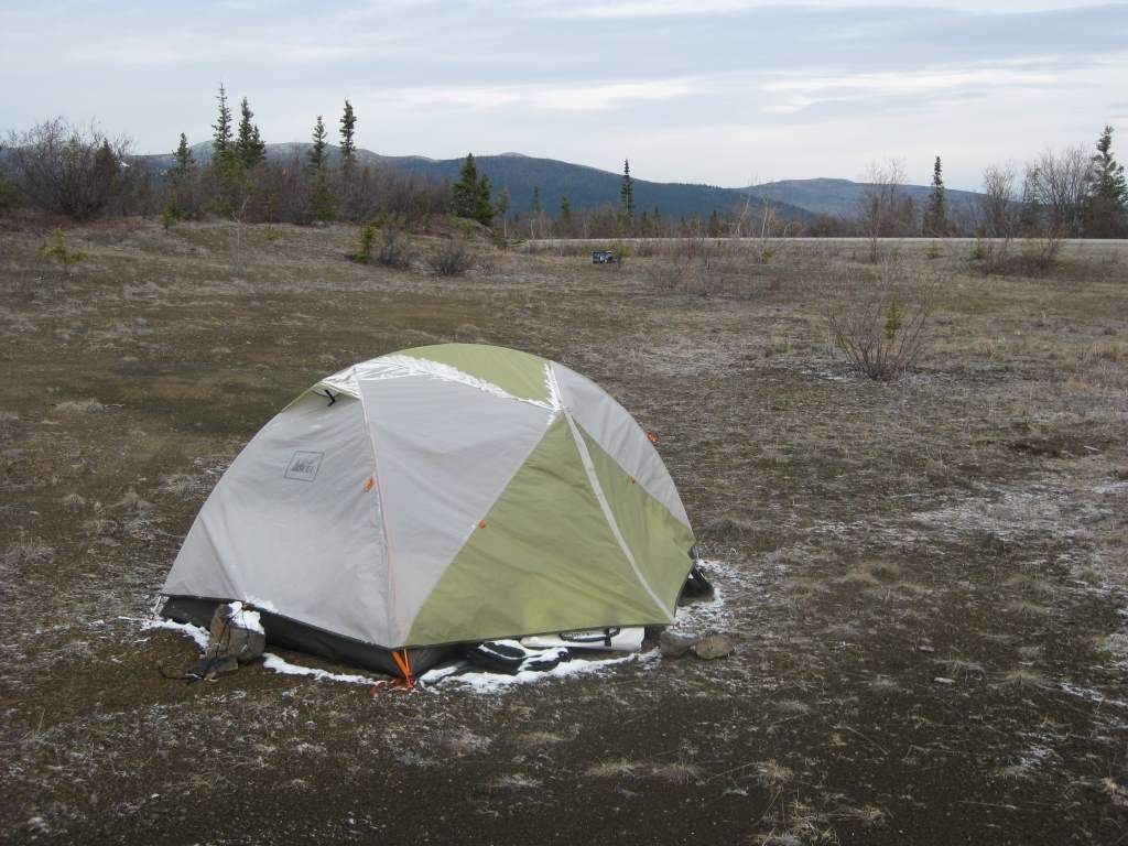
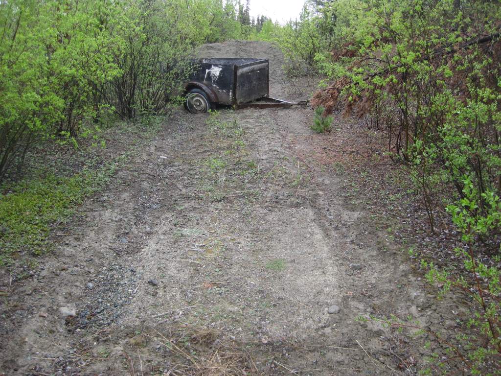
We camped a mere 20 miles from Whitehorse, just a small bit off the road on a small patch of hard-packed dirt next to an abandoned truck trailer. It was a great, hidden spot… but then the rain came. That hard-packed dirt became cement-like mud and after packing up in the morning our shoes were piled high with the stuff. It was like walking on platform boots!

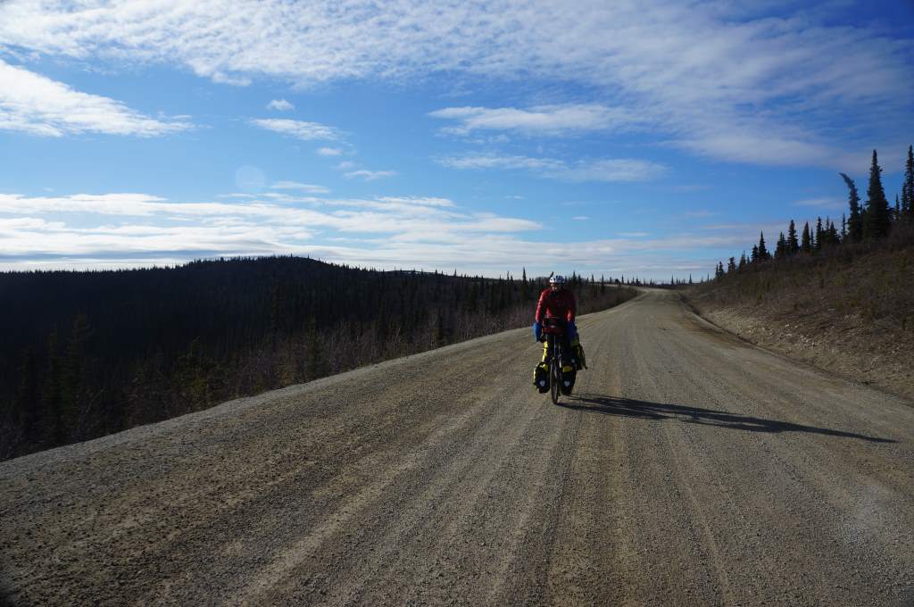
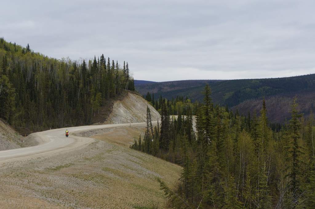
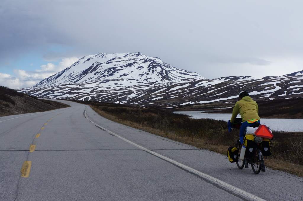
The riding is good.
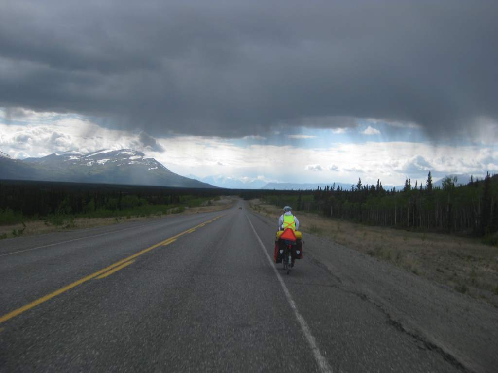
The storm threatens!
The rain was to come and go for the next three days en route to Haines, but somehow it wasn’t too bad for us. We put our coats and pants on and off, on and off as the showers moved over us. One day, we put them on 7 times! Our second day out of Whitehorse we rolled into a campground just as a big storm reached us. We were so lucky that there was a 24-hour restaurant attached to the campground, where we got the $5 pie special and found a sheltered spot to cook. They offered us free showers, but since we had spent all day in ‘showers’, we didn’t even want them.
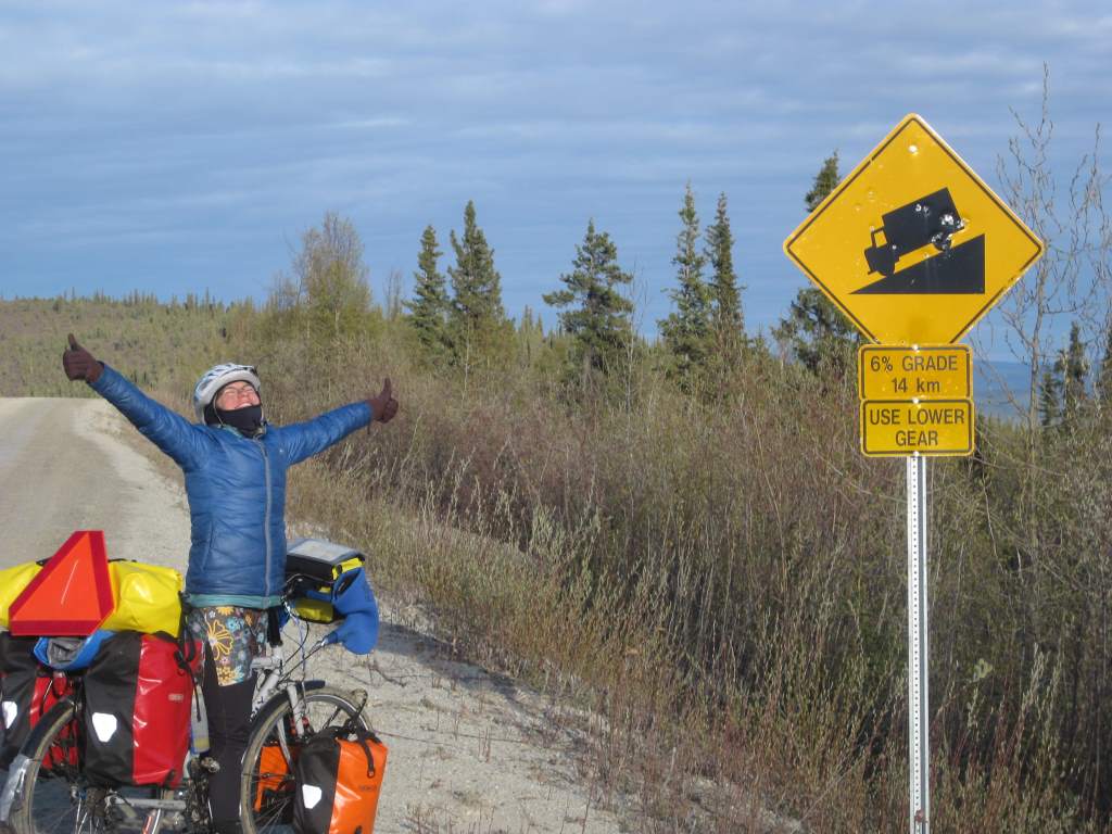
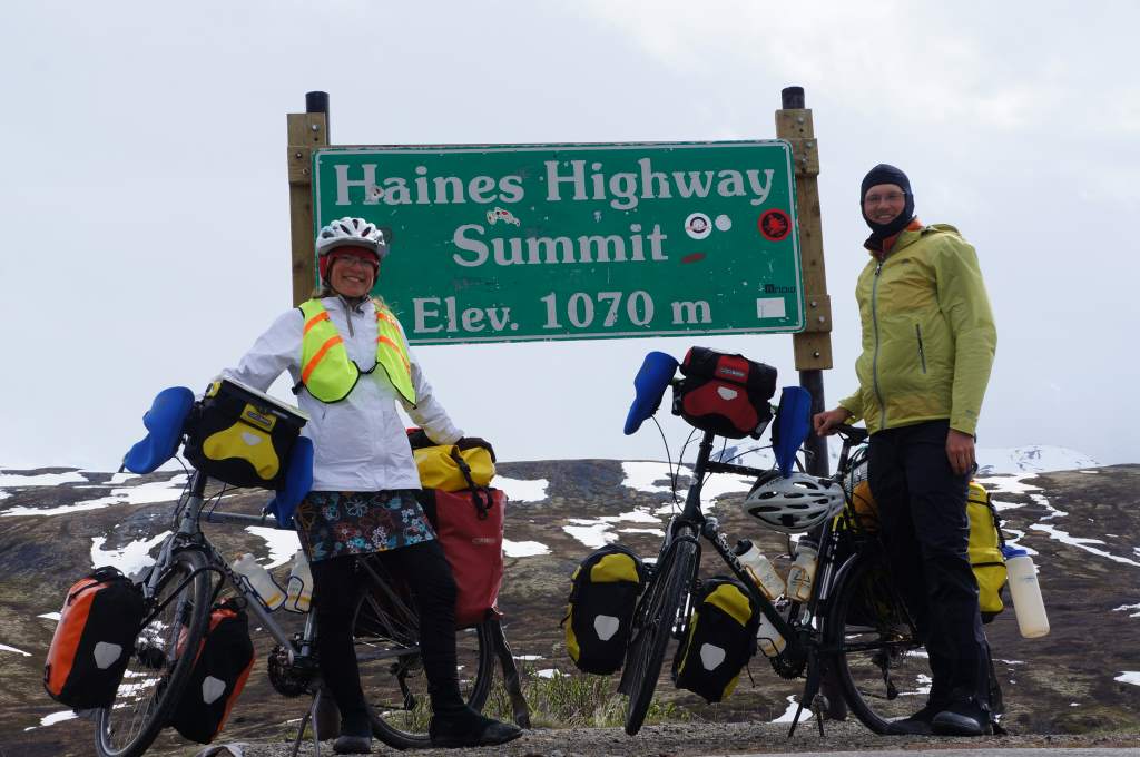
Our big accomplishment so far: 1000 miles since Anchorage!! We were about 10 miles from Haines Junction, and we stopped to celebrate.
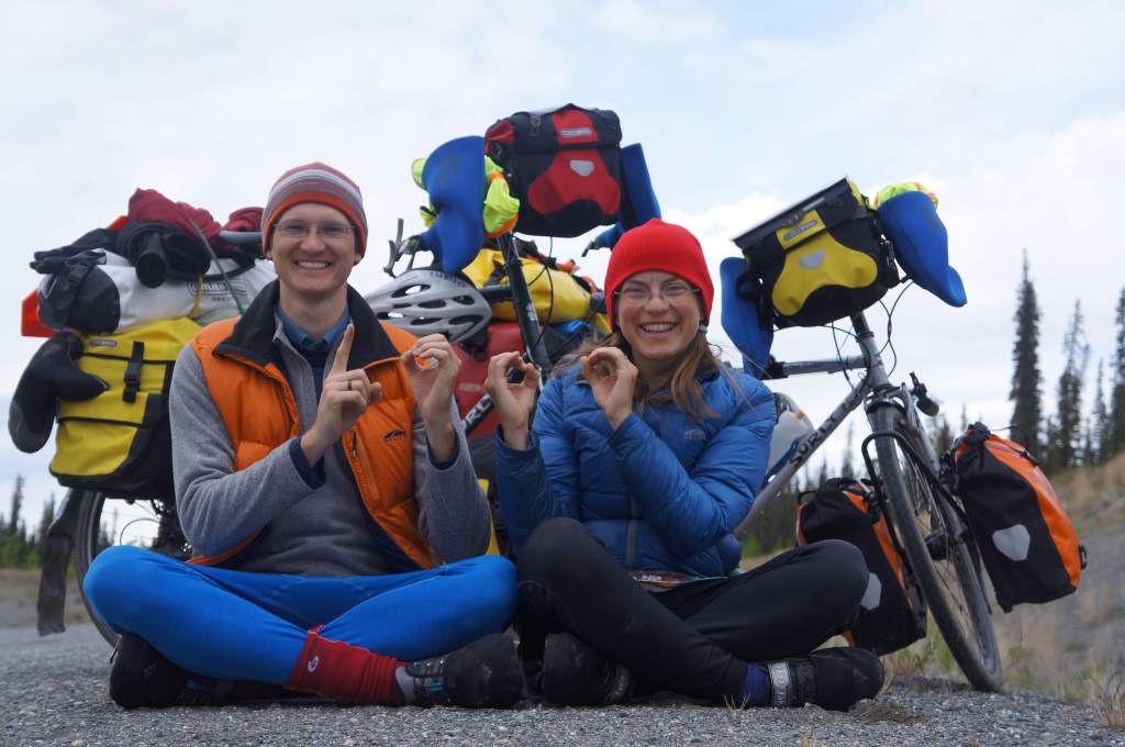
1000 miles!
We bought day-old cheese stick bread in Haines Junction, and headed out on Haines Highway. The rain continued to come and go, but it didn’t matter to us because the scenery was still stunning. Our longest day (79 miles) yet ended at Million Dollar Falls campground – we had ridden an extra 20 miles for the promise of a picnic shelter. We were not disappointed, the shelter was excellent and we ignored the ‘no tents’ sign and slept out of the continuing rain.
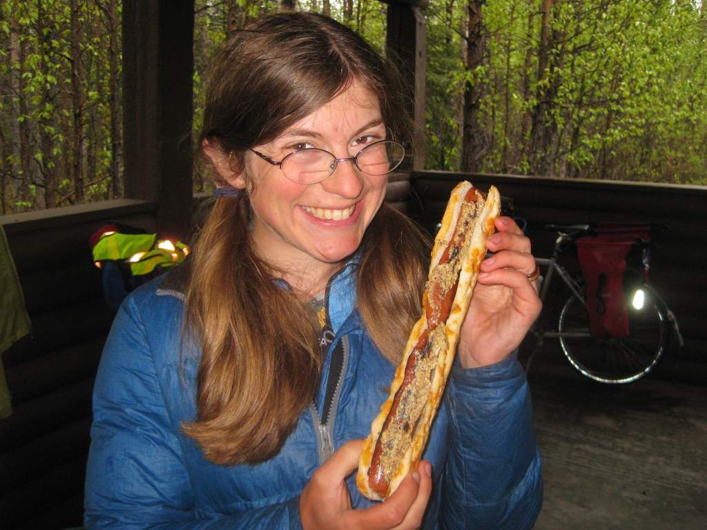
Hot dogs… bike-touring in the Yukon style.
Now, finally, here is the amazing story of the post:
After we made breakfast at Million Dollar CG, we went to retrieve our ‘smelly things’, which we had stored in the back of the bear-proof garbage bags right next to the shelter… and they were GONE. It seems that the park employee had changed the trash bags, and assumed our little bag was trash. We were at first numb, then we started to list all the things that we would need to get anew – Jason’s hand medicines, our spare prescription glasses (!!), our toothbrushes, creams, floss, etc. It was awful. Daisy had a meltdown when she thought the leatherman was lost too, but then we found it in a bear canister. So, finally, we got our stuff packed and limped out of the campground.
At the entrance to the highway we flagged down a Yukon Government Road Maintenance truck, hoping he would have a radio to call the park guy on. No luck, but he said that he knew the guy and a few of his hangout spots, and would check for us. Then if he did find the bag, he would bring it to the ‘Green Shack’ the next day. He also warned us that he believed it was a lost cause…
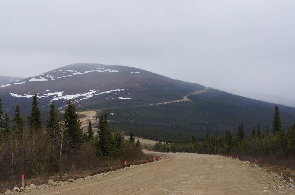
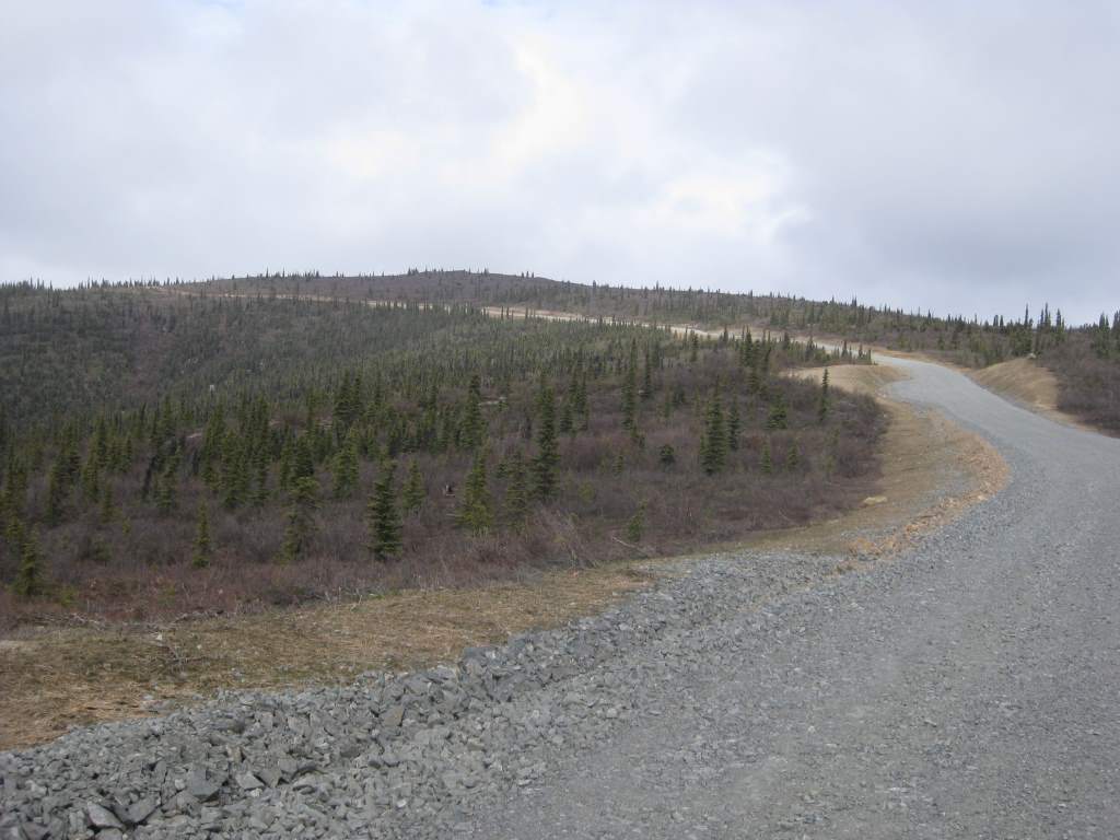
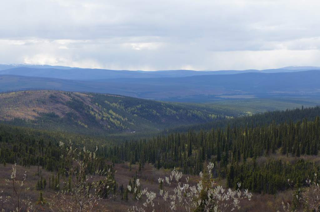
We continued on, trying to find some silver linings like: ‘Well, the bags are a lot lighter now!’, ‘I guess we didn’t really need that anti-itch cream.’, and ‘At least everything smelly fits in the bear canisters now!’. It took a long time to get cheered up, especially as we climbed higher up and toward the pass with the rains continuing to come and go. On the bright side – the scenery was stunning!
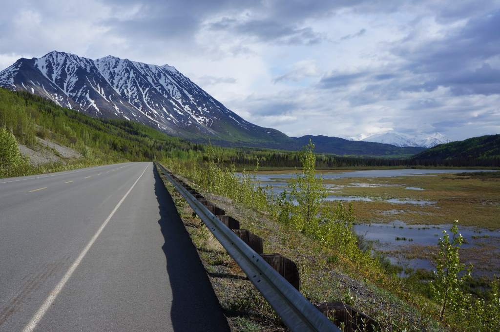
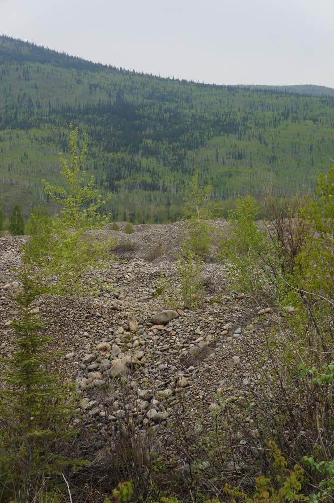
More scenery.
As we neared the summit, we saw the ‘Green Shack’ that we have heard so much about. It looked like nothing special from the outside, but on the inside we would find it to be a warm, cozy oasis. We turned off the road to leave a note for the road worker, and just as we did we saw his truck turn in behind us. Could it be true?! His passenger hopped out of the truck holding our bag full of items! He had found it, and driven all the way up to nearly the summit to get it to us! We were in so much shock, awe, and happiness that we didn’t even get the whole story from him before he got back in the truck and drove off the way he came.

The miracle workers in the Yukon truck.
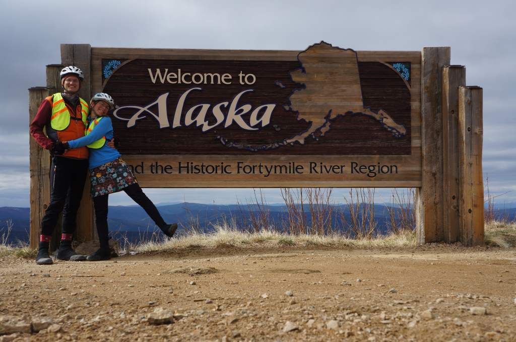
The rest of the trip into Haines was actually great. The sun came out, the border was no problem, and the scenery continued to be stunning. As we neared town we met some rafting guys who live with our host in town (Thanks Andrew!). Haines is a great, great town, we have met and chatted with many folks and are happy to spend a few days here seeing the sights. Next stops – Juneau, Skagway, and then back to the Yukon!
Here are some more pictures of our descent into Haines. It was so lovely. I highly recommend this road to everyone!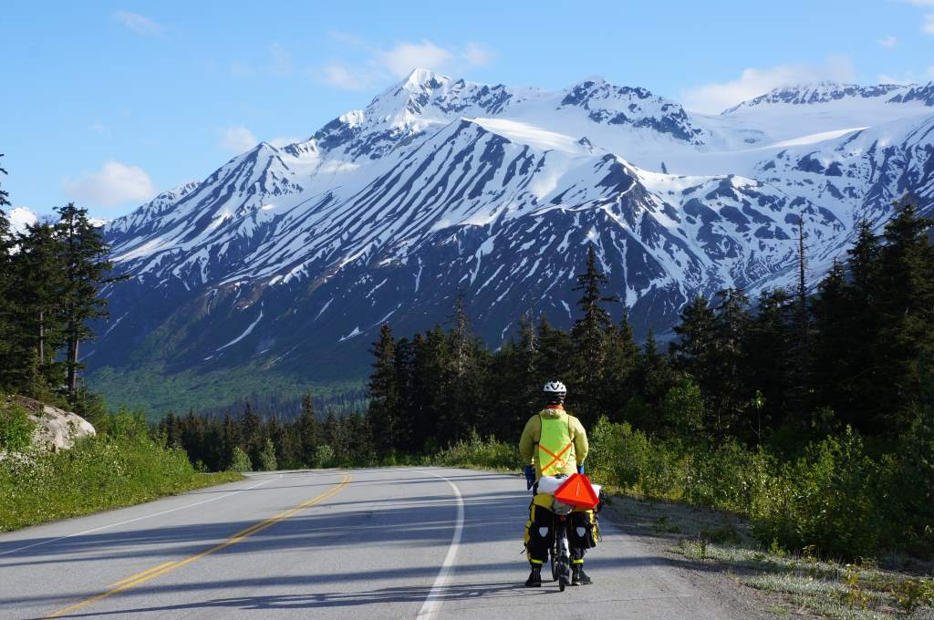
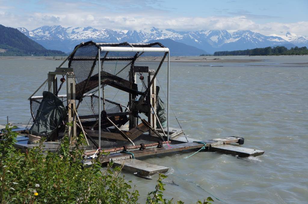
Fish Wheels.
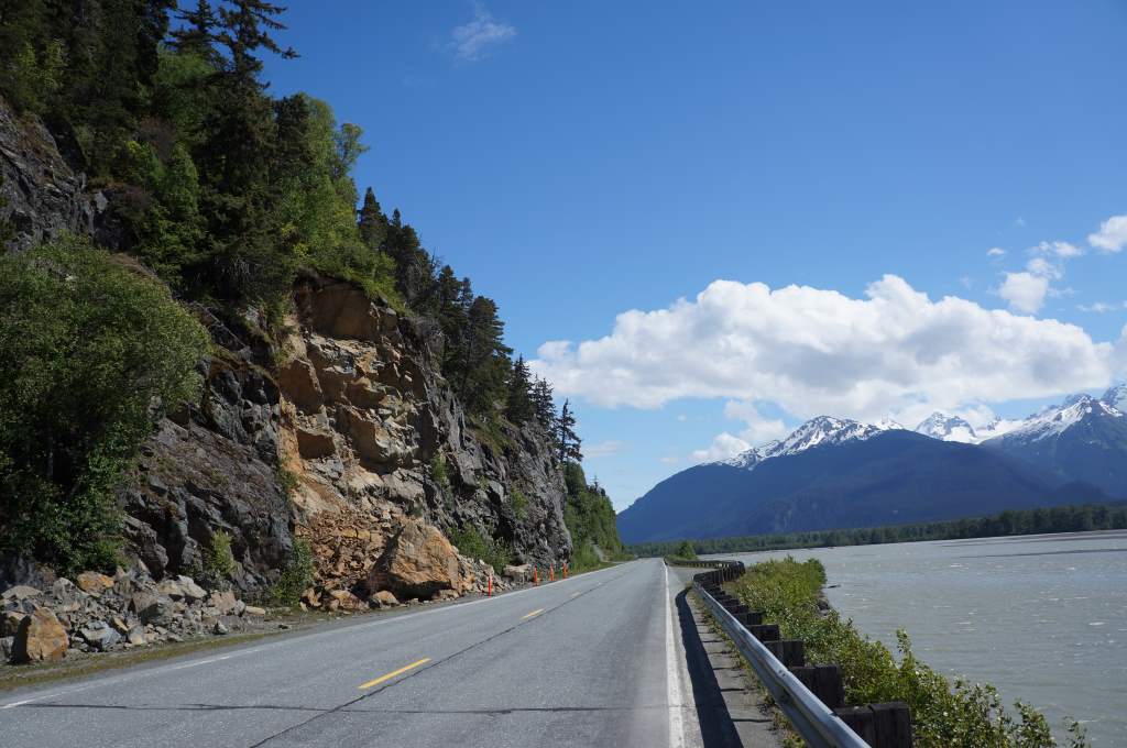
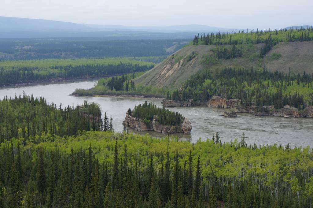
Scenery rolling into Haines – notice rockslide on the left.
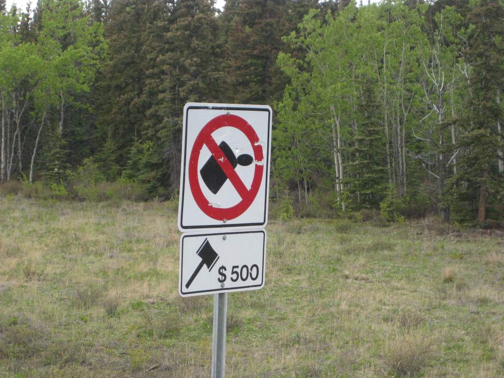
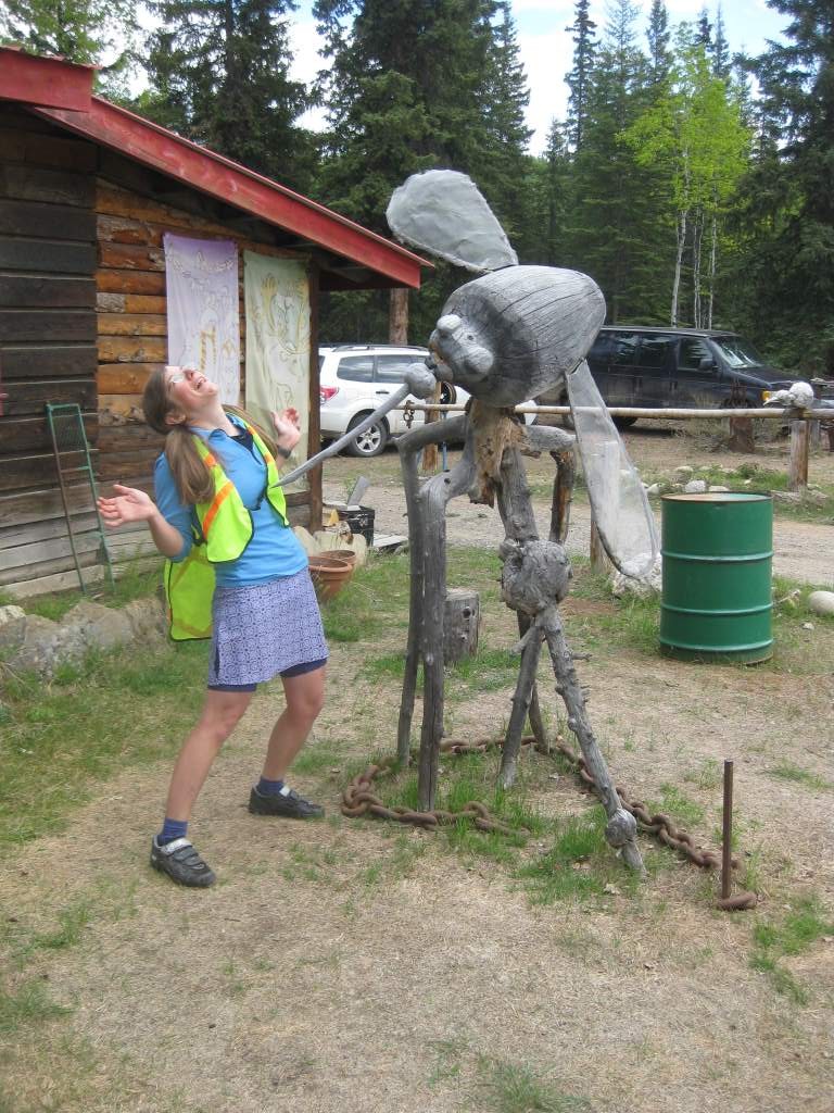
Litter and it will hurt.