Last time we updated, we were in Watson Lake: home of the signpost forest. At this point, nearly 80,000 folks have passed through here and left a sign to mark their journey. During our rest day, we joined them and created our own sign!

Our contribution to the signpost forest.
It was a blast to paint the sign and chat with other groups of people doing the same thing. I may be partial, but I think our sign was the best. We also went to the Northern Lights Center that day to watch shows on black holes and on the northern lights. It was a pretty neat planetarium location, and also surprising to find it so far north.

A bit bold to call the province “The best place on Earth”!
Finally on Monday we started out on the Cassiar Hwy and into British Columbia. This is the only overland alternative to the Alaska Highway, and is both less populated and more remote. There are very few services, making my parent’s help in hauling supplies and food for us even more appreciated. The scenery is supposedly stunning, but we have had quite a string of storms and rain to limit visibility. So far, we have seen eight black bears, and two foxes.

Most of the riding has been in the rain, but we don’t take too many photos of it.

See the fox in the background carrying a meal?

One of the many butterflies along the road.
Our first day on the Cassiar was very nice though, with sun and fluffy clouds. We rode through recently burned areas, and stopped for lunch next to a lake populated by butterflies and dragonflies.

Evidence of a 2011 fire alongside our lunch stop.
We are much faster on the road when my parents carry our heavy supplies, allowing us more time in camp to relax and have family time. It also helps that we have stayed in some beautiful campgrounds. Somehow, it usually seems to clear in the evenings – even on the days that we spend hours in the rain to get there!

The view at a stunning campsite on Boya Lake.

My dad has been fishing sometimes, mostly unsuccessfully, but he did catch a tree once! Jason and I had to climb up and unhook the tree, since it was a catch and release type of situation…

Our only picture of a bear – there is usually no time!
The days run together on a road like this. There was only one town in six days of riding, and the road is narrow with the forest close on either side. The rain and clouds make it difficult to see, but we are constantly scanning and searching for bears ahead. Our first bear was snoozing right next to the road, and our surprised shout of “That’s a bear!” woke it up to stare at us. We have surprised other bears browsing next to the road, invisible in the dense brush. Jason got a good look at a cute little baby bear, and luckily we didn’t see momma. We have bear spray, and carry a whistle to scare them off with sound, but it can still be stressful to know there are bears all around!

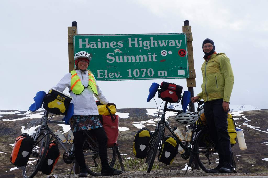
A summit that we didn’t notice climbing to.
There have been a few summit signs on this highway, which is always very exciting for us. Two of these summits were so easy we barely thought we deserved a summit sign!

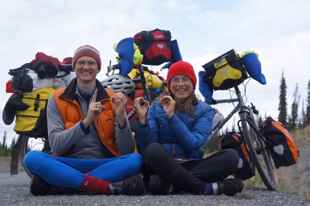
Mainly, we are happy to be accompanied along this road, and are enjoying the long evenings of family time. Evenings are fun, and include chats, stories, and endless brushing of the dog.

A common evening activity is removing dog hair from the german shepherd.

Washing dishes, a chore that never goes away.

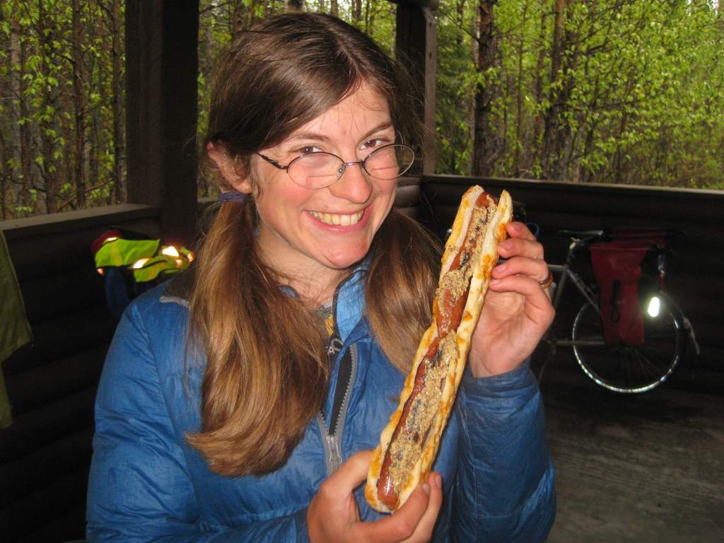
What we do when we arrive in camp: EAT!

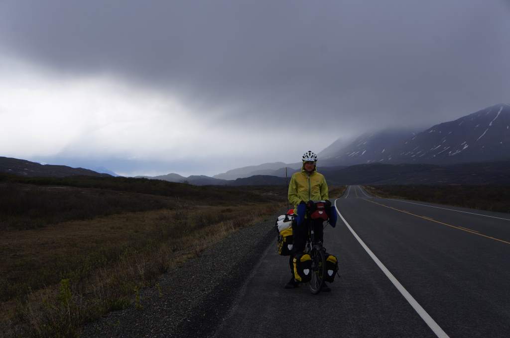
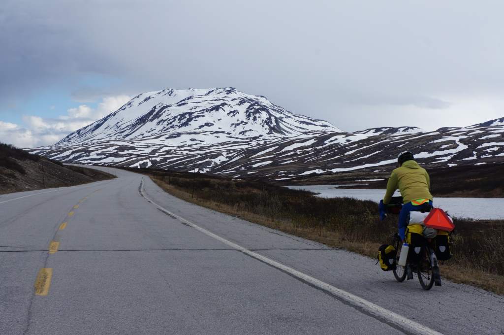
A moment without rain, finally!
Of course, there have been moments when the clouds lifted enough for excellent vistas. I’ll provide some photos of these too! Even as I write this though, the rain is hitting the tent. Yes, there is wifi in a provincial park. Wild! As a side note – it is actually getting dark at night now, which is ironic since it is the first day of summer.

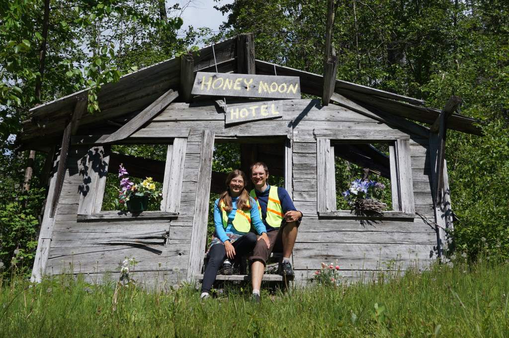
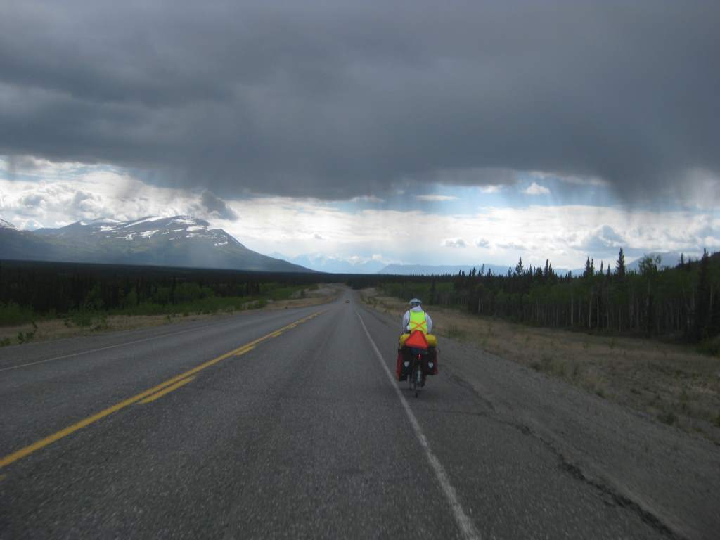
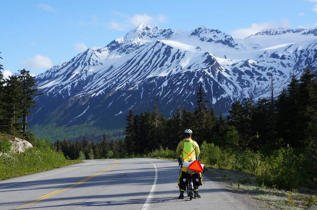
A clear moment to display Jason’s silly riding outfit.

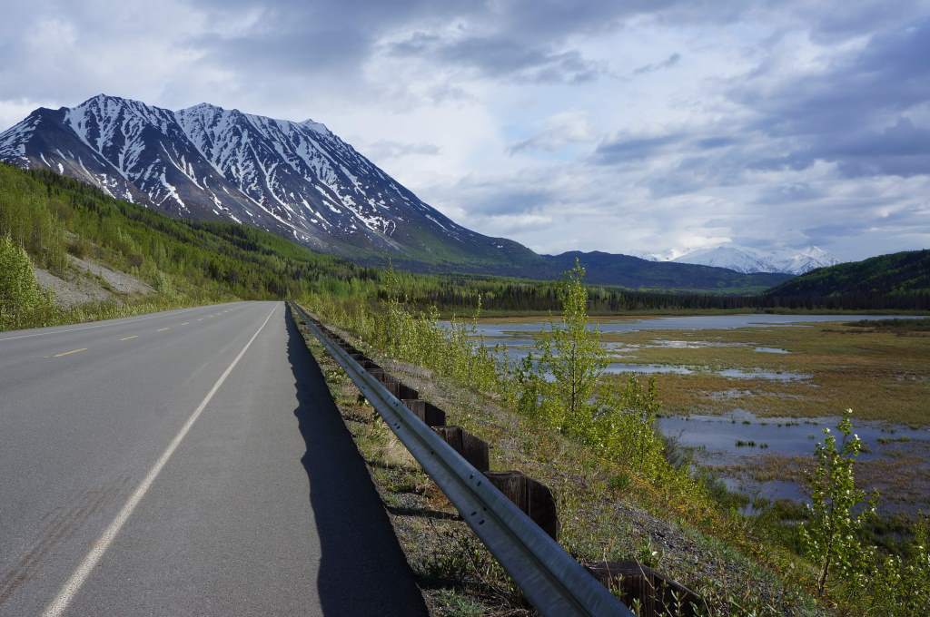
The mountains peak out from behind the thunderclouds.
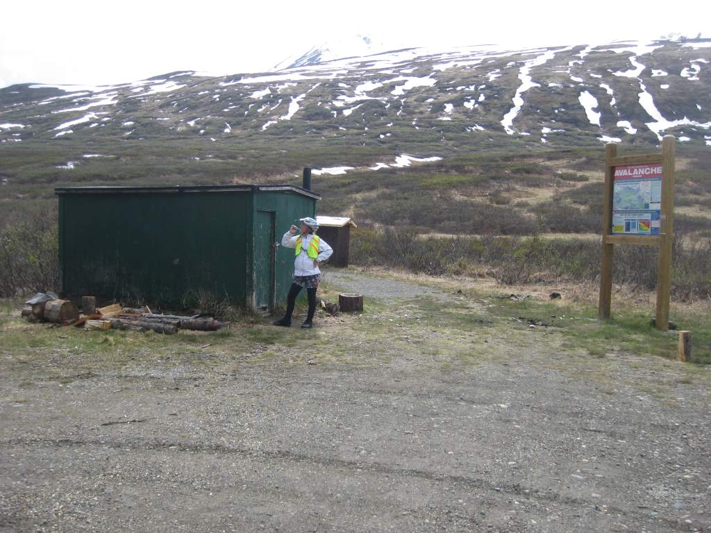
Tomorrow we are taking a side trip to Stewart, BC and Hyder, AK. These twin towns are at the head of the Portland Canal, which stretches 90 miles inland from the ocean. It will be an exciting day to visit the grocery store!