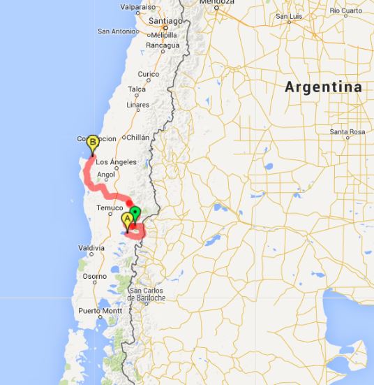
This past week has been full of wonderful riding in the dry semi-desert country of Norte Chico on lovely back roads, both paved and otherwise. I have to say ‘semi-desert’, since the truly dry desert is still to our north. After a few days of enjoying the cactus-strewn ‘semi-desert’, the torrential downpours began. That’s right, downpours. In the desert! Unfortunately, it’s not all storm rainbows and desert blooms. The storm has caused the worst flooding in 80 years, and many people have died or are missing. The flooding has caused a great many roads to be covered up by landslides or swept away entirely. We feel lucky to be safe and dry, even if the floods have drastically altered our plans. Before I write more about the floods, however, there are a few tales to tell about the rest of the riding from this past week.

Bidding farewell to a faithful tent.
We spent a day riding along the rugged coast and past many a million-dollar vacation home. In the little town of Papudo we said goodbye to our faithful tent. My cousin had brought us a new one since the old one’s zippers were completely broken and the rain-fly had begun to fail. We had a little ceremony and left our tired tent where someone might find it and give it a second life as a weekend only tent.

Jason pays his respects to our old home.
Million-dollar beachfront homes.

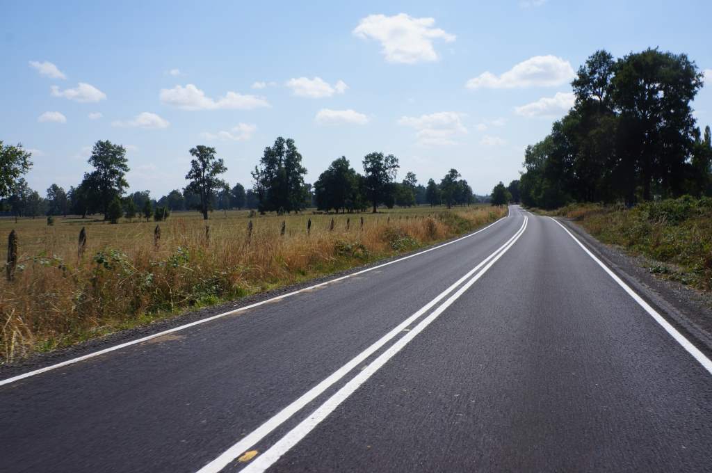
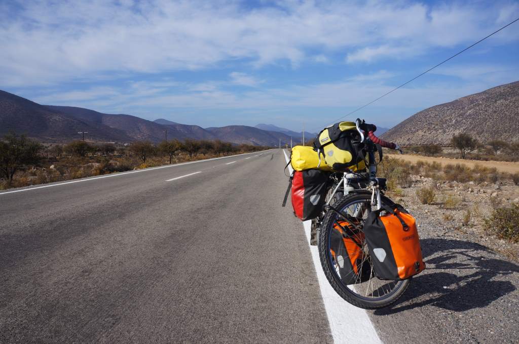
Big shoulder on the main highway.
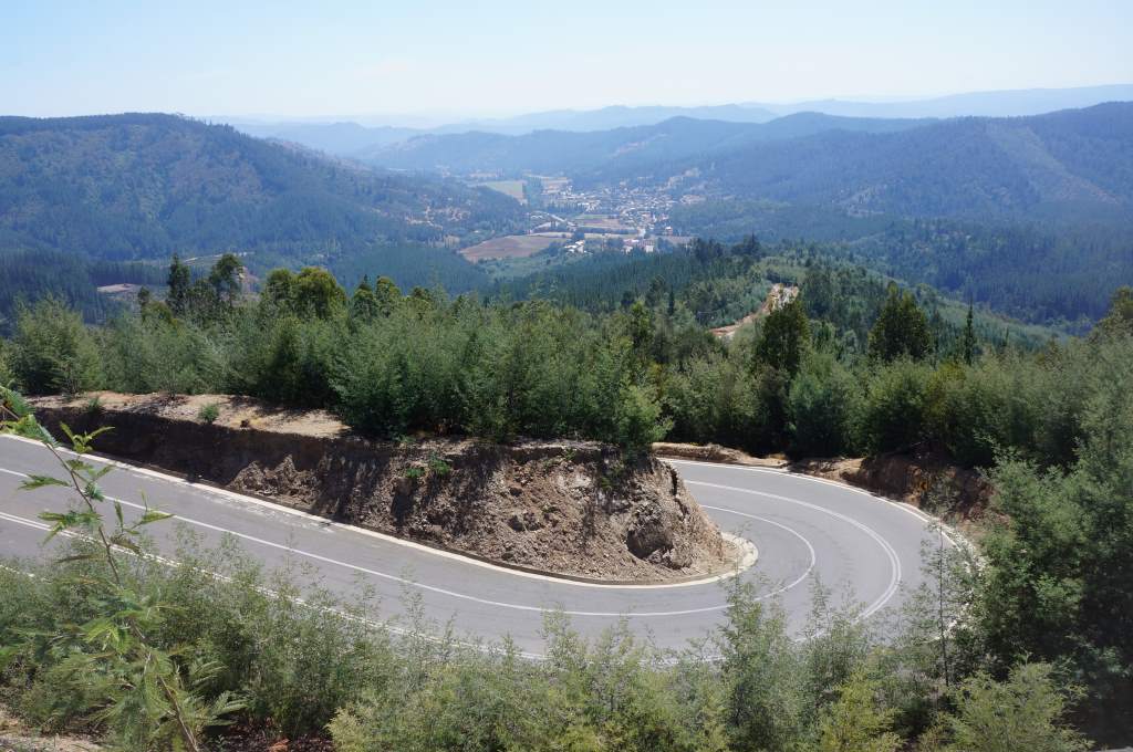
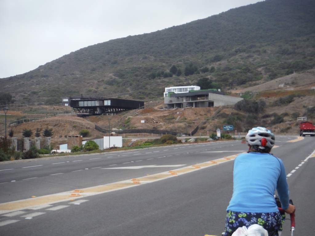
We left the coast and headed inland, where we had to ride for most of a day on Chile’s main highway. Surprisingly, it was just fine. All the same, we were incredibly happy when we turned off that road and turned inland towards the dry hills. There were bone dry valleys, big cacti, and winding roads up and over so so many hills.

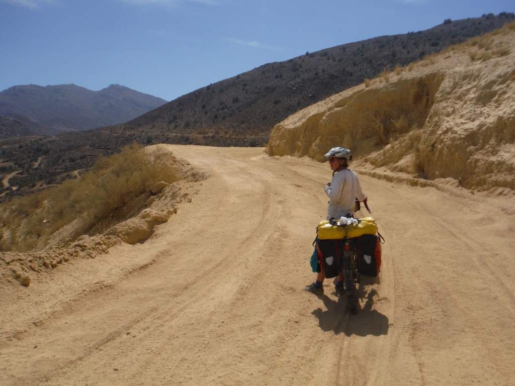
We completed our first big dirt desert pass at this time, and it was beautiful. En route we went through the national chinchilla reservation. This is the only place in Chile where the chinchilla ((a really cute rodent) lives in in the wild. Jason was super excited about the chinchilla warning signs.

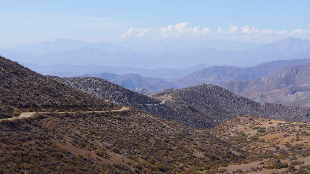
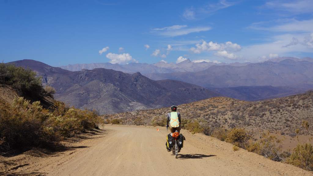
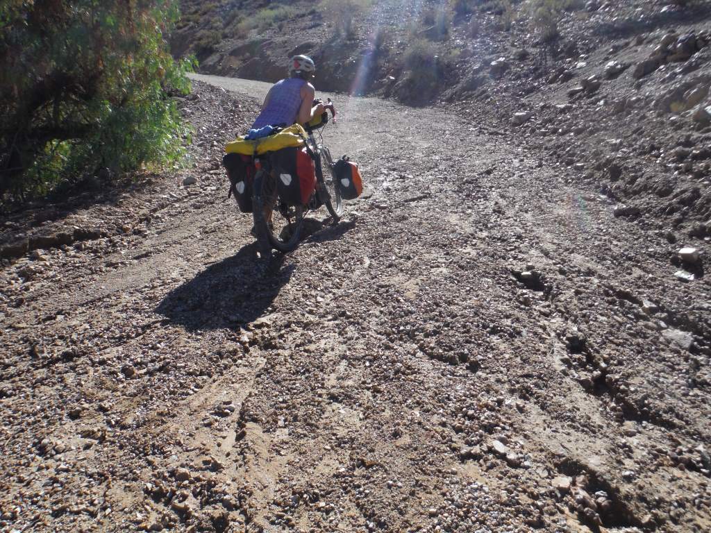
The pass topped out at 5,500’, and was a long climb that looped all over the desert hills. We spent all day going up and up and up in some of our lowest gears. At times the dust was over 3” thick and we had to push the bicycles. All the same, we were very happy as there was good scenery all day and traffic was essentially non-existent.

Desert sunrise
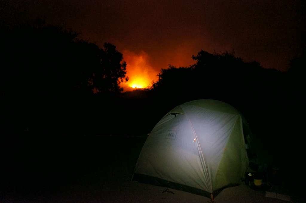
That night we wild camped in the desert, where we had to clear rocks away to make room for our tent. During the night our brand new tent got attacked by ants! The damage is very minor (luckily!), but for whatever reason the ants chewed through the rain-fly where small water droplets had accumulated. We were a little bit upset, but nothing that a beautiful sunrise couldn’t help.
After a day of riding through desert vineyards, we entered the big city of Ovalle. We slept in a family run hostel in a room made of plywood. In the morning we awoke to storm clouds, and as soon as we left our room the sky opened up and the thunder rang through the valley. It absolutely poured for a few hours, and we had to resort to walking the bikes to avoid the brown-colored run-off on the roads. Luckily for us, the rain let up as we rode up yet another beautiful valley towards the small town of Hurtado. It started again in the afternoon though, and by the time we reached town the road was pure mud. Because the only hostel in town was full, we managed to rent a room in an old lady’s house.
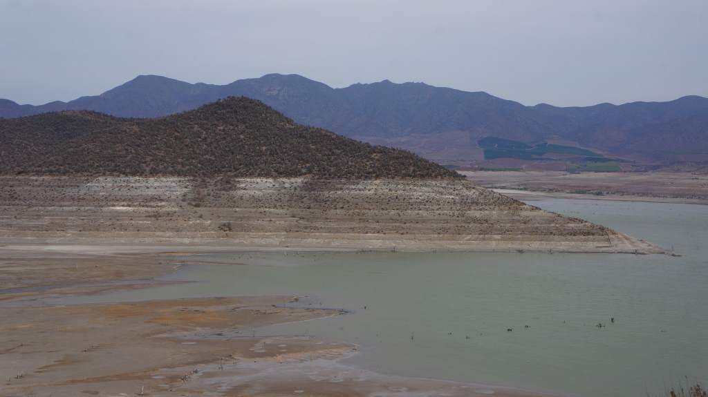
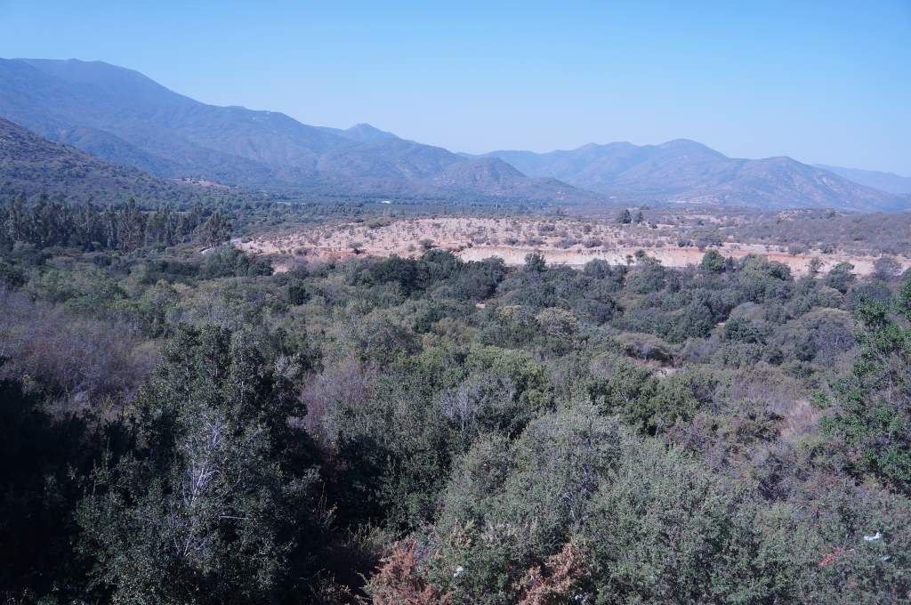
One day: severely depleted desert reservoir.

The next day: torrential downpour
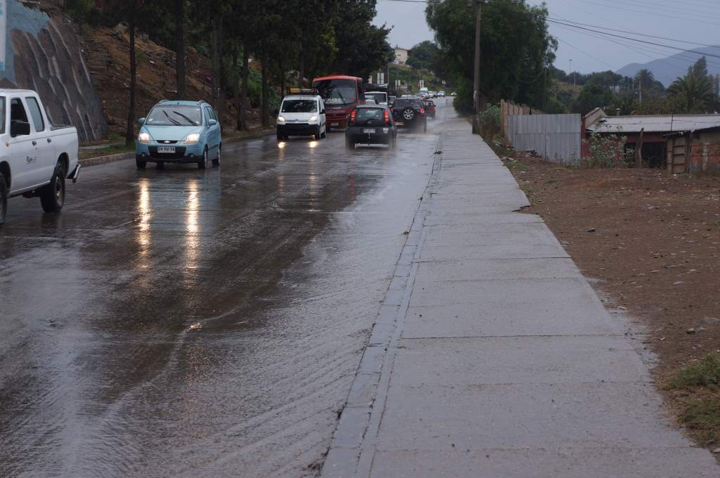
You can see why we walked the bikes on the sidewalk for this section.

The street outside our window.
That night, the storm hit in force. It was pouring rain most of the night, and at times there was hail and incredibly loud thunder. We were so so grateful to have a roof over our heads. The next day dawned to… more rain. We knew we weren’t going anywhere, since the next bit of riding was over another dirt pass, which had been closed because of the flooding. We spent a whole day in the tiny town of Hurtado, enjoying the hospitality of our host and watching the rain fall down. It kept raining all day, until the evening when the clouds finally began to clear.

Main street of Hurtado.
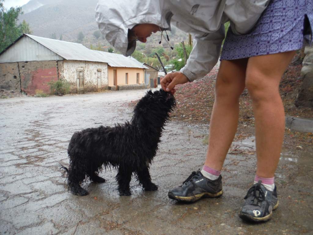
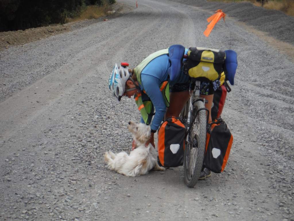
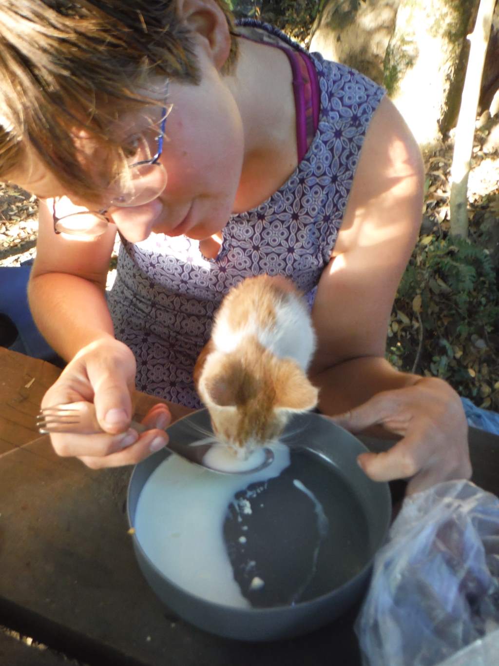
A soggy new friend.
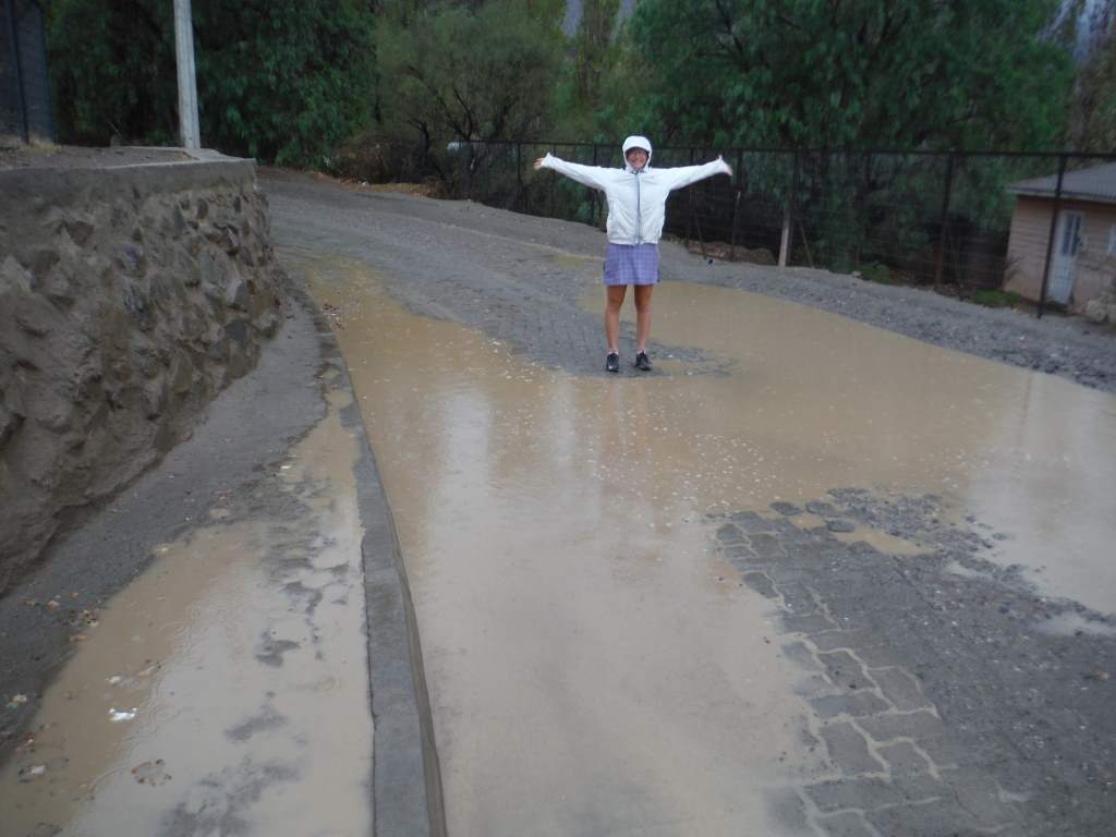
Big rain puddles!
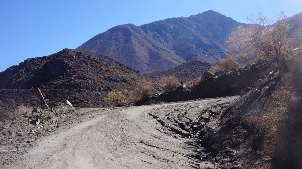
 The next morning was clear and crisp, so we hurried out of town on the only road. We turned towards the pass and began to climb. It was a great climb, since there were absolutely no vehicles on the road, the scenery was wonderful, and we were constantly kept interested by the damage to the road surface from the downpour. Once over the top we started to see another storm system moving in, and we hurried to get down off the mountain. As we entered the next town of Vicuna the storm hit, with thunder, lightning, and rain. It was so sad to see the farmer’s crops being ruined by the relentless water.

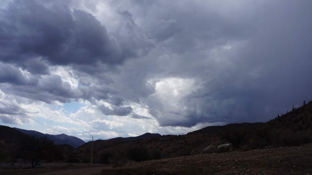
More storms as we approach Vicuna.
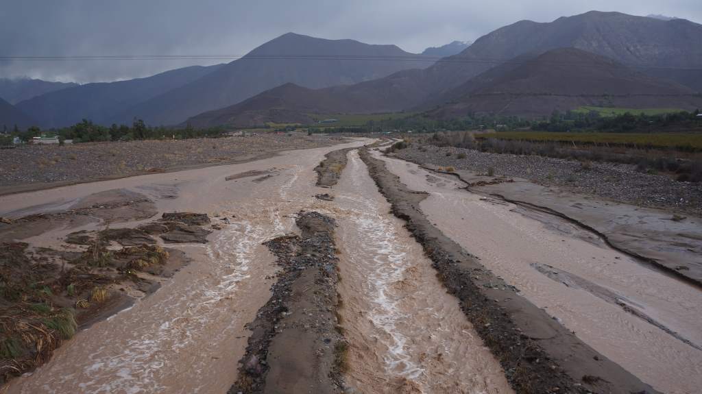
Insane mud and water flow coming into Vicuna

The road to the north has suffered severe damage.
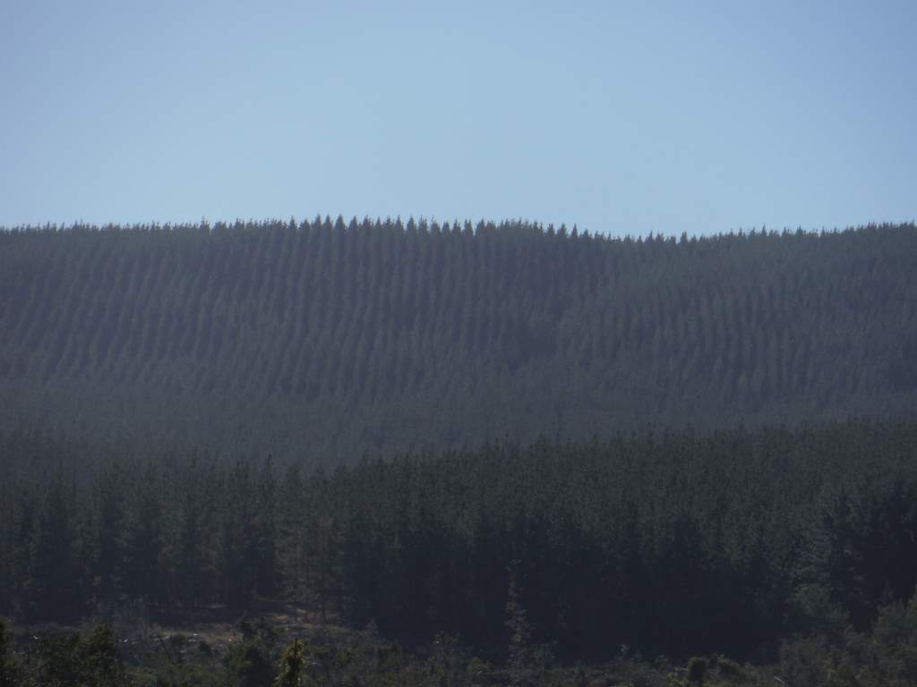
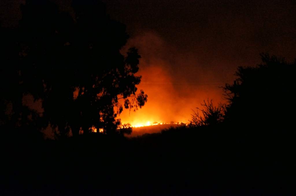
Now we are in Vicuna for our second day. It has been a tough time for us, as all our plans must be changed. That 15,000’ pass we were so excited about? Closed because of massive mudslides. Even the primary north-south route of Chile has been closed because of mudslides and wash-outs. We have decided to go north anyways, into the driest desert on the planet. This same desert has gotten 7 years worth of rain in the past week, so maybe we’ll even see a plant or two. The cities in the north, however, were hit badly by the storm. We don’t know what to expect, and we don’t know if even basic services will be available. For this reason we have stocked up on a week’s worth of food and given the bikes a little bit of extra love and cleaning. Here are a few pictures (that we didn’t take) of the flood damage preventing us from moving forward as we planned:
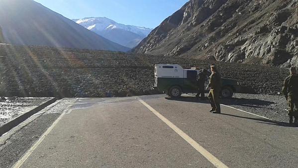
The pass we planned to be riding right now.
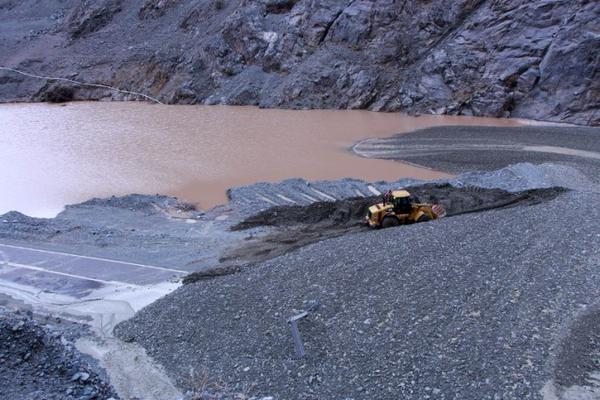
The mudflows make the giant machinery look like toys.
If you don’t hear from us for a couple of weeks don’t get too worried, it’s just that services like internet might be unavailable as we go into the flood zone.
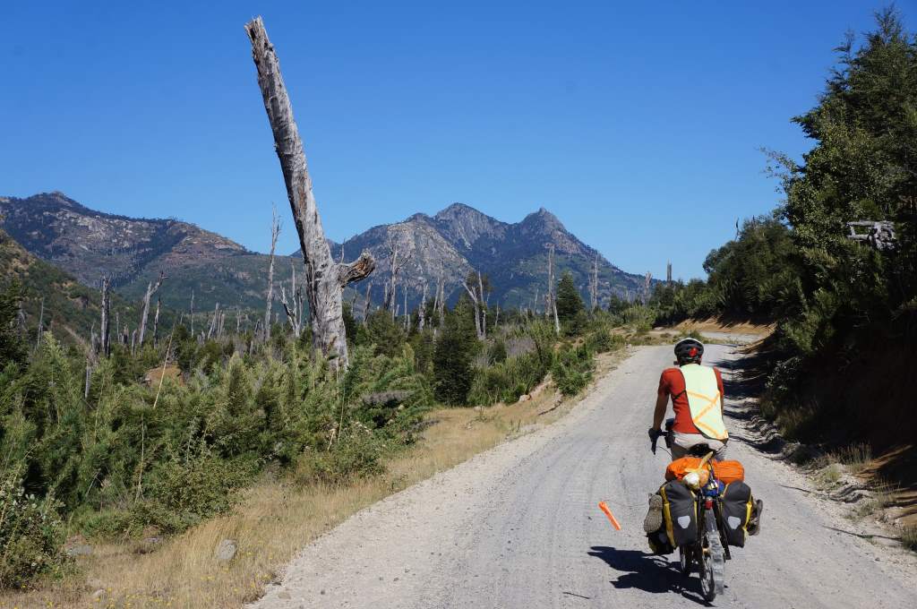
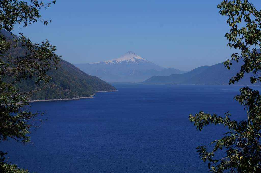
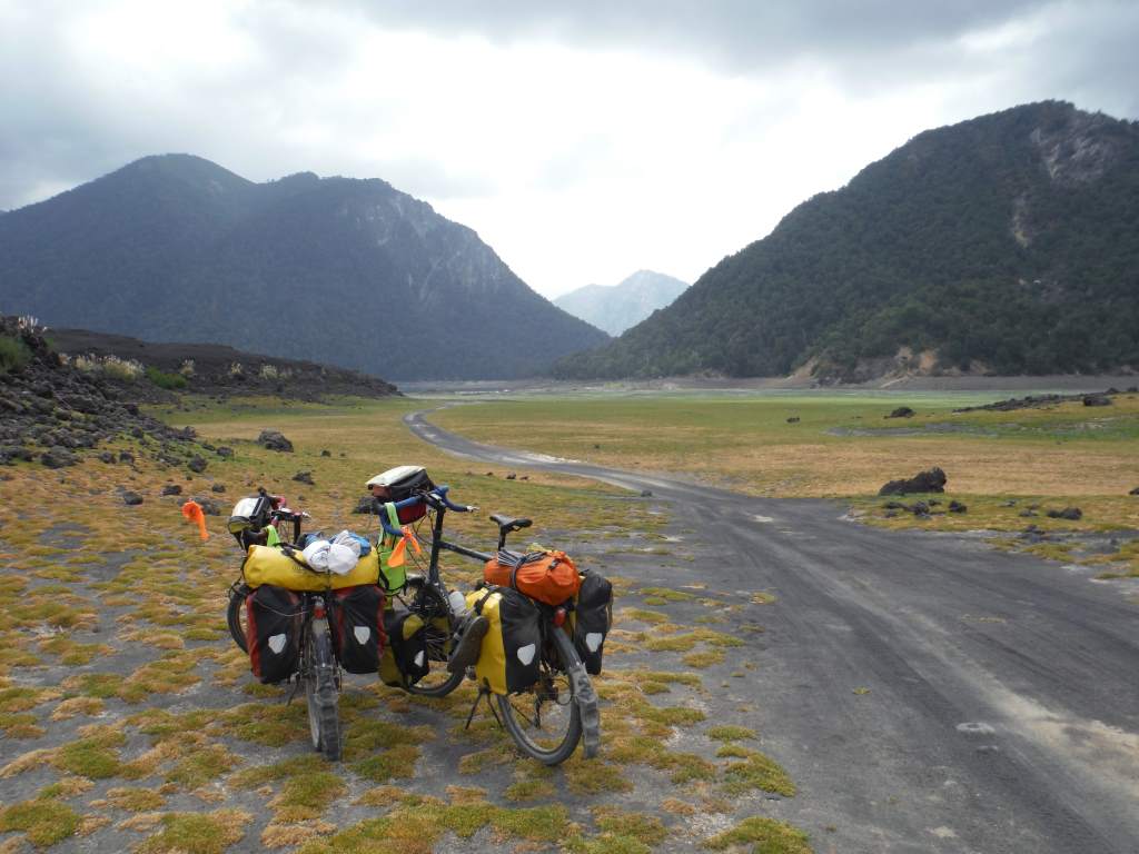
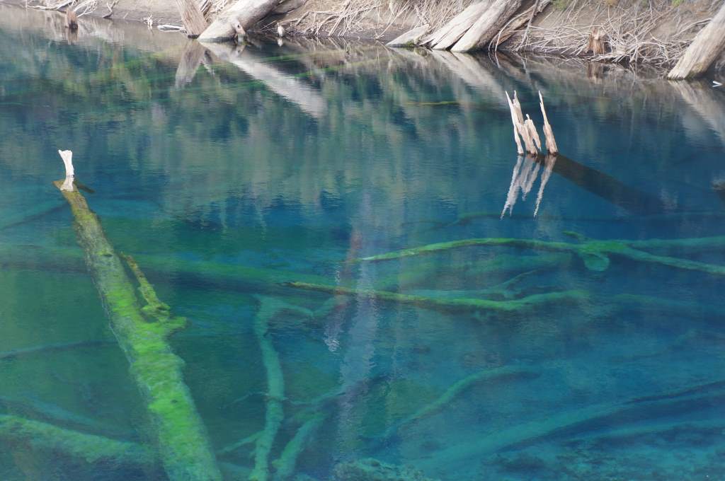
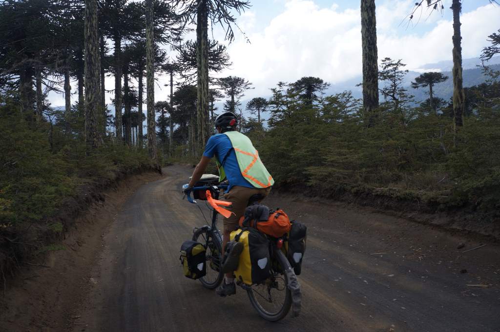
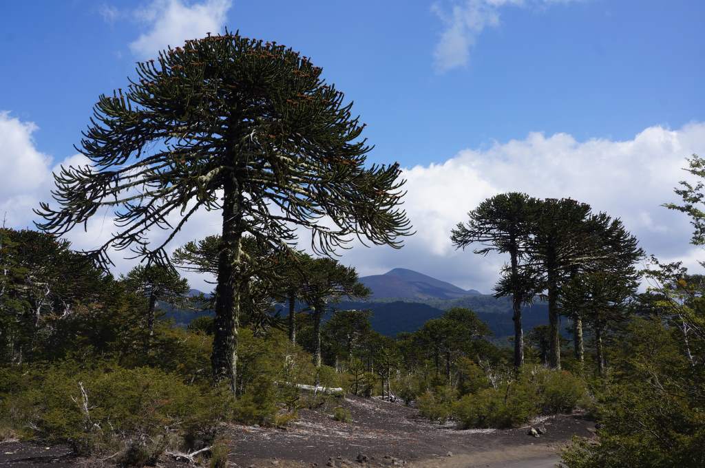
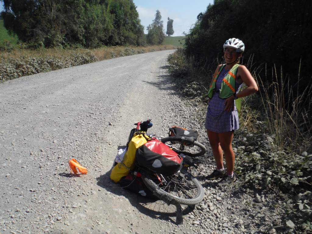
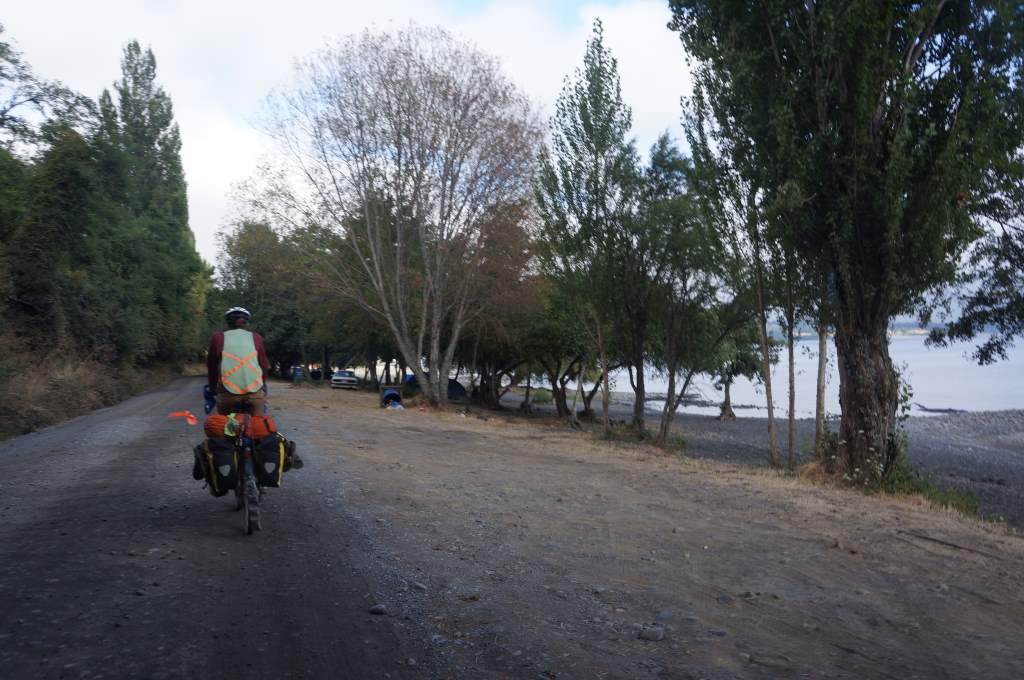
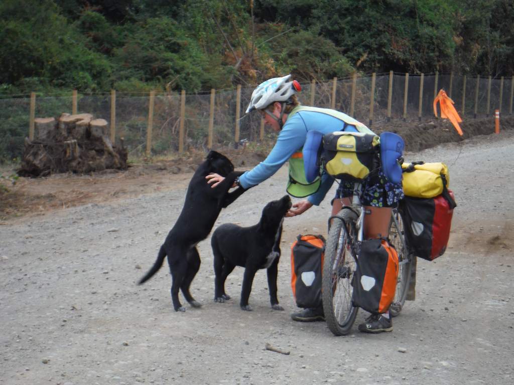
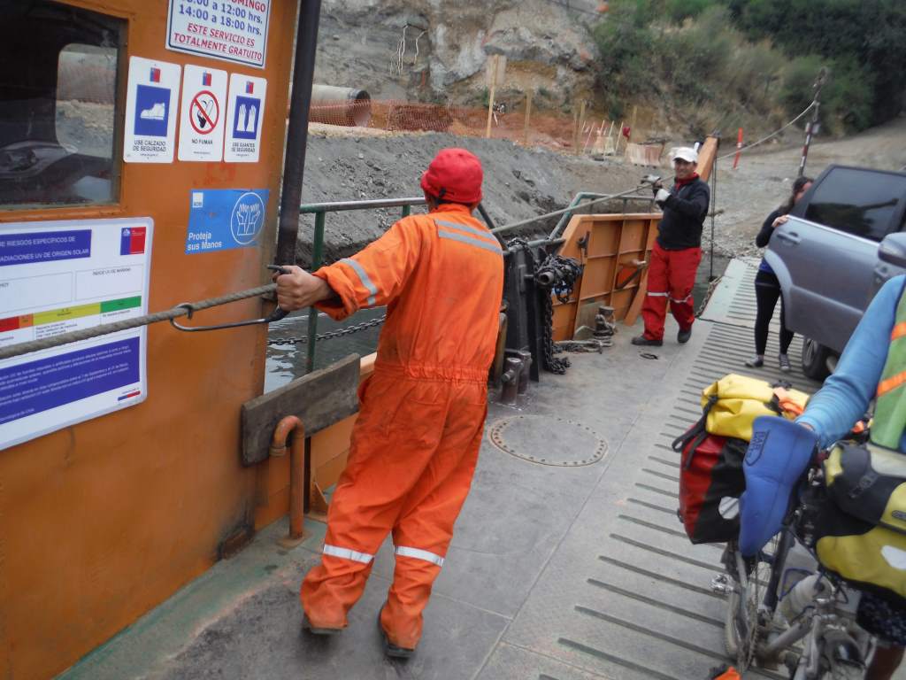
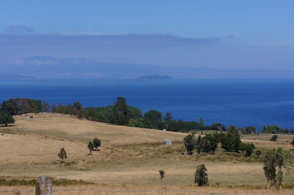
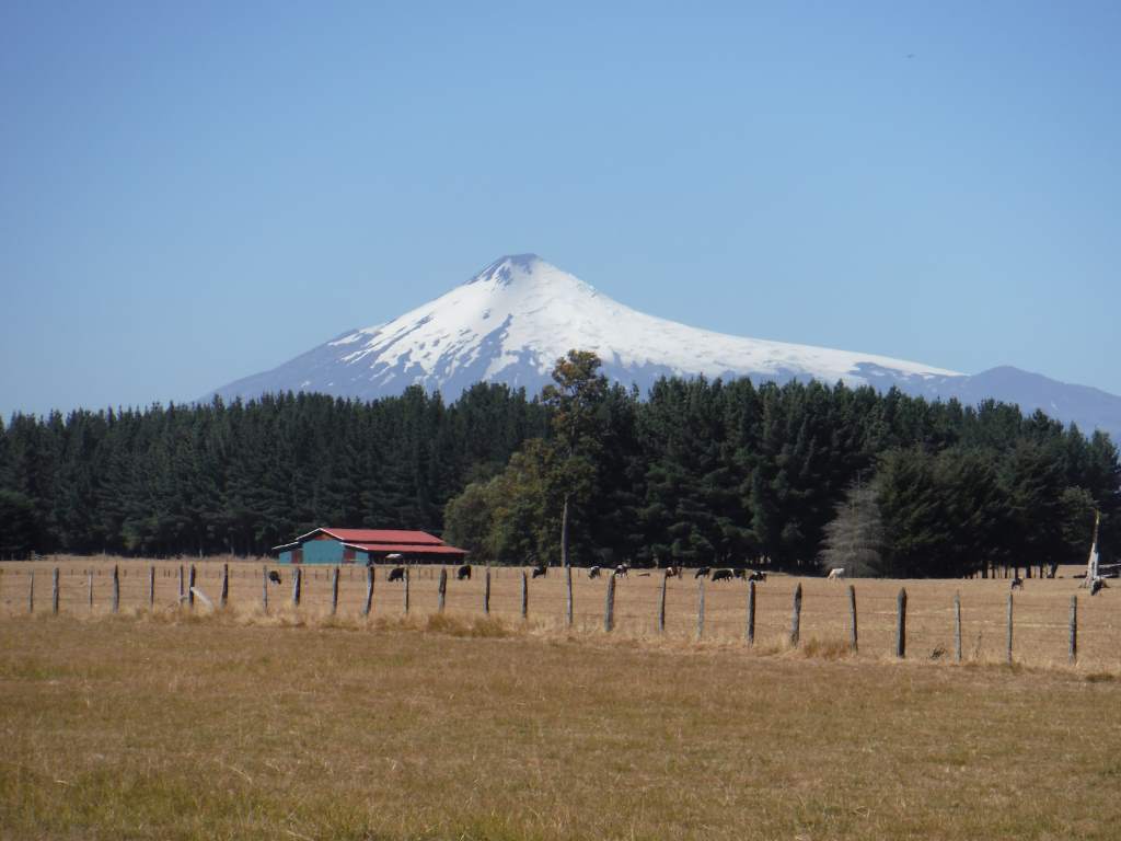
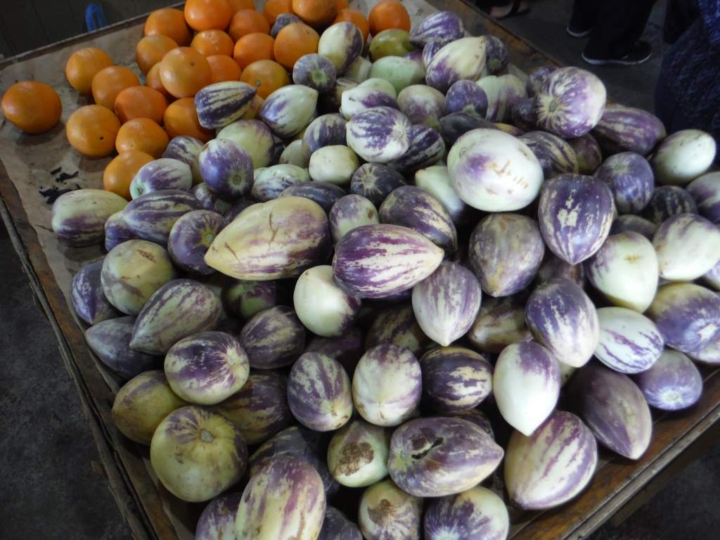
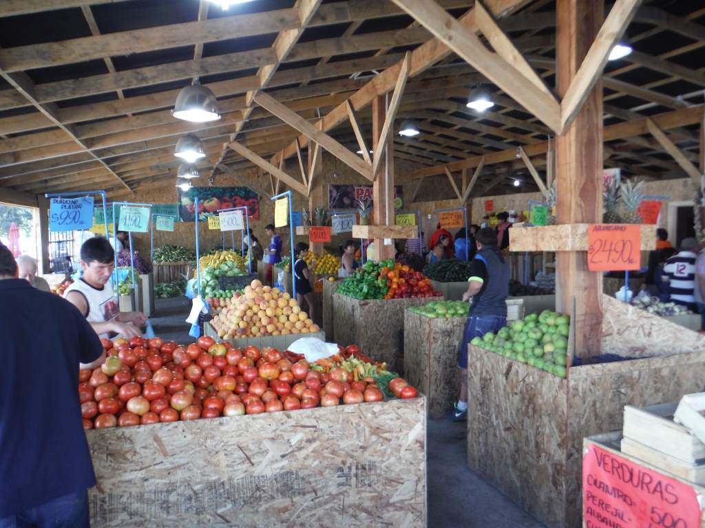
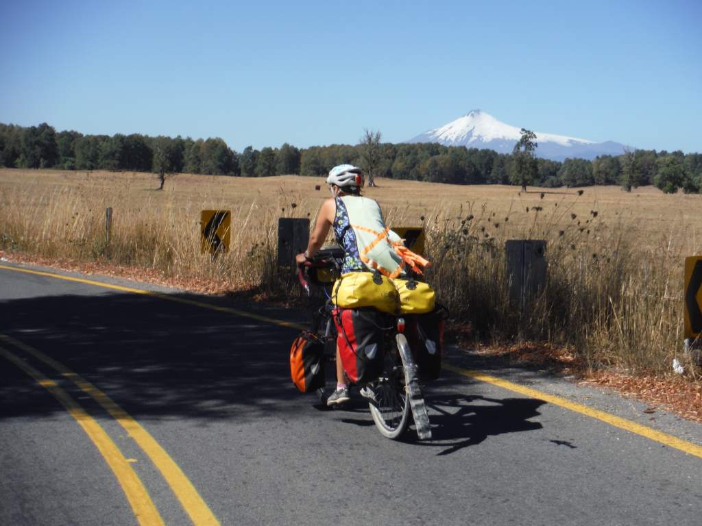
Now, as usual, a few more photos that didn’t make the cut for the narrative above.
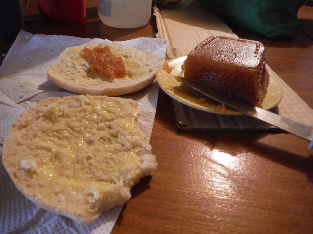
Our host in Hurtado gave us a special Chilean sweet made from a fruit that is like an apple-pear. It’s called ‘membrillo’.

Our host in Hurtado also gave us grapes from her own vineyard. We ate them all.
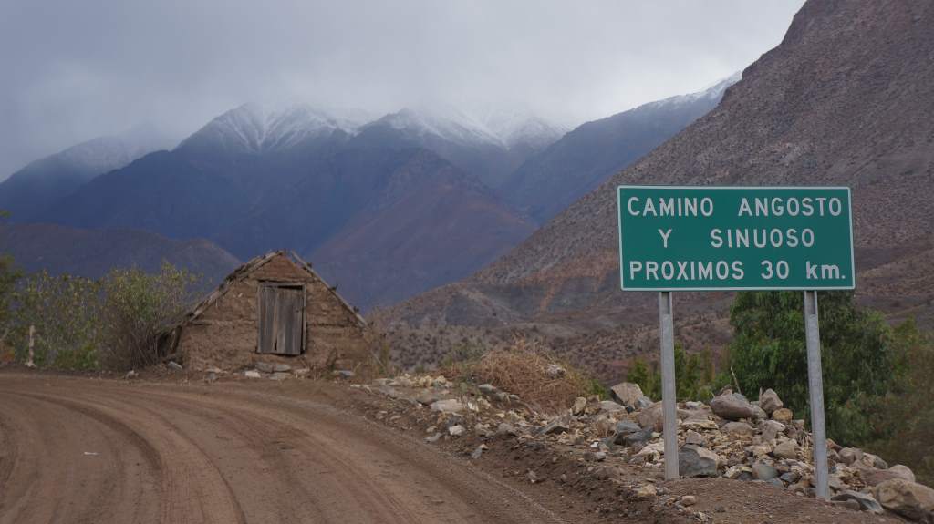
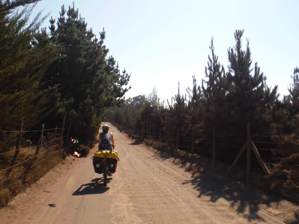
The sign read ‘ rough and winding road next 30 km’. Perfect!
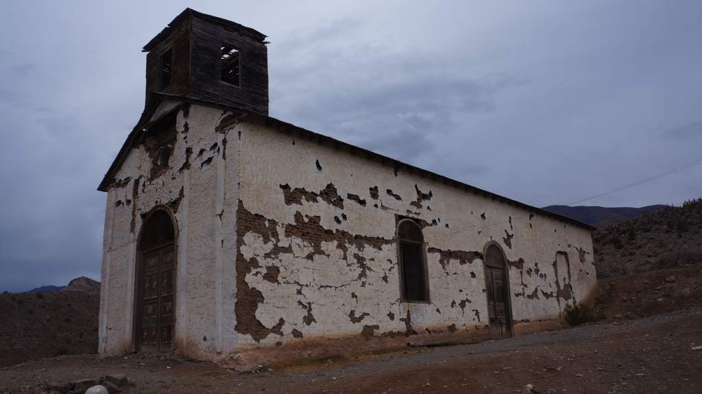
A beautiful old chapel built from mud-bricks.
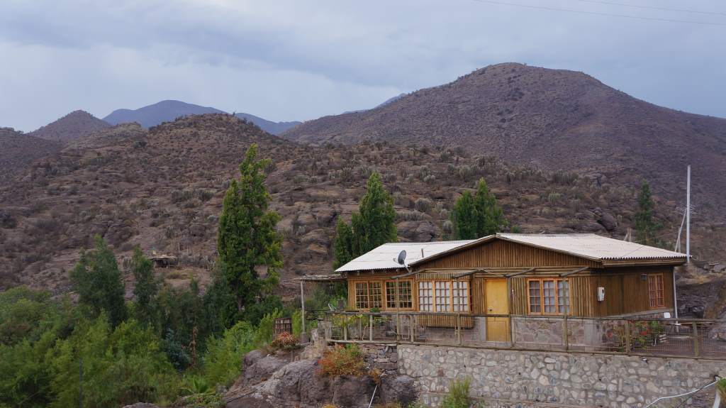
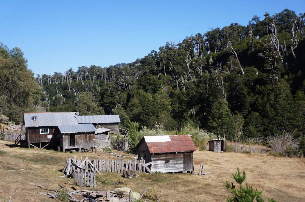
Yet another wood house that caught my eye. Take note Xiomara!
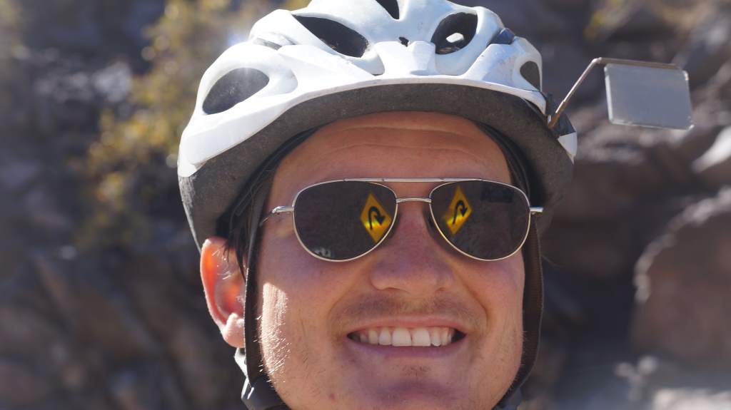
One of my favorite sunglasses pictures ever!
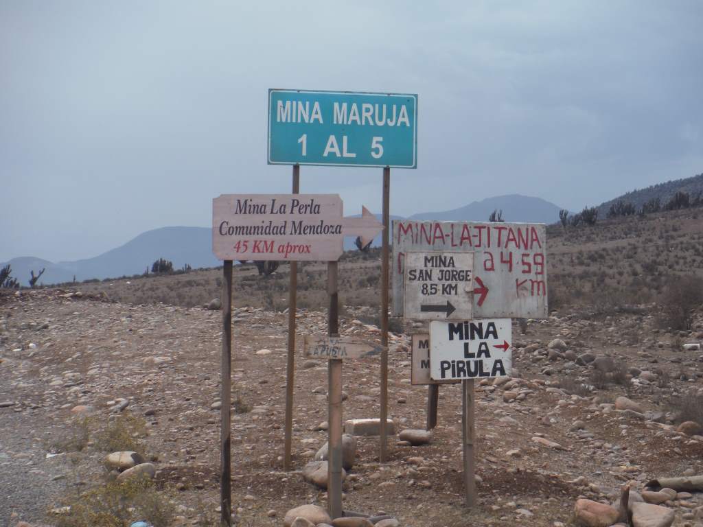
Lots and lots of mines are here.