Honeymoon – Day 6

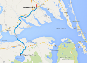
Pettigrew State Park, NC to Elizabeth City, NC: 58 miles

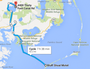
Route for day 6

Route for day 6

We woke up to a very cold morning. Hot water for oatmeal and coffee/cocoa lured us out of the ice-crusted tent. While Daisy got the tent packed up, it was my turn to hit the hand dryer over and over to dry out my shoes. When we were both sufficiently dry and decently warm, we stuck a hand warmer by the toes of each foot and got on the road.

No rain today! We had some headwinds, but it was much much more calm than the previous day. Also, our route was great – back roads the whole time, except when we had to cross the bridge over the Albemarle Sound. After the bridge we found a picnic table to eat lunch at. It was nice to sit in the sun.

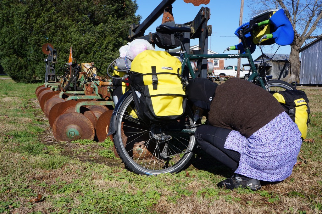
To make it a little easier on ourselves, we decided to check our tire pressure and top it off. They weren’t too low, but we did put in an extra 20 psi or so. This was definitely noticeable with the fully loaded bikes. Since we didn’t install kickstands yet, we needed to find something to lean the bikes against — luckily this yard had some farm equipment.

Convenient spot to lean the bike for maintenance

Convenient spot to lean the bike for maintenance

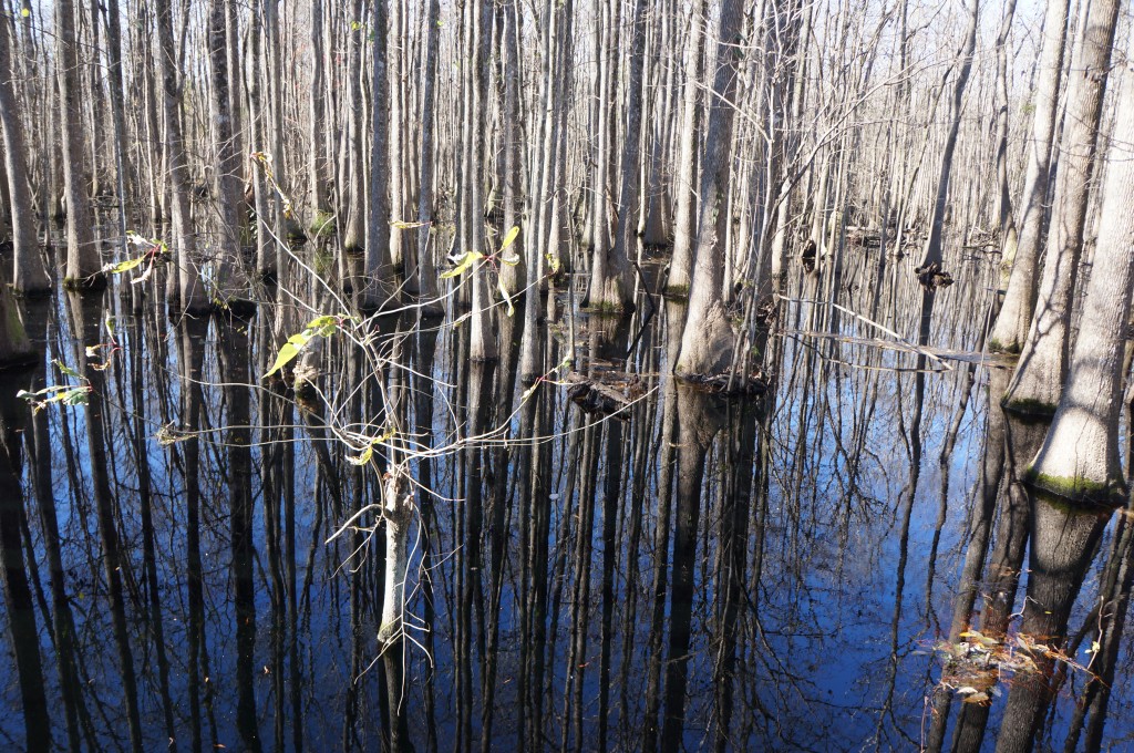
However, the ground was still quite wet. A lot of the land was still swampy, although as we moved north we saw less standing water.

Trees in the swamp water

Trees in the swamp water

Peanuts!

Peanuts!

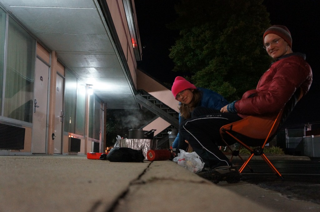
We found our preferred hotel as we rolled into the outskirts of Elizabeth City. The employee that checked us in looked like a high schooler that was getting paid to be on Facebook. The room was sufficient, and we cooked a delicious meal of rice, veggies, and sausage in the parking lot. While the meal was cooking we finally broke out our camp chairs, after carrying them all week. We shelled and ate some peanuts as an appetizer.

Cooking in the parking lot

Cooking in the motel parking lot

Honeymoon – Day 5

Ocracoke, NC to Pettigrew State Park, NC; 62 miles

Route for day 5

Route for day 5

What a day!  It was supposed to be a nice, easy 36 miles to the state park.  We failed to notice, however, that a few of the roads that Google sent us on were unnamed.  The adventure started even earlier though, around 2 am.

The storm that blew in over the Outer Banks the night before caused the power in our motel to go off around 2 am.  Sometime later we got cold from the resulting lack of heat, and had to resort to using our sleeping bags to stay warm!  In the morning we had to be at the ferry before 7am, and so had to get prepared while it was still dark out. Without the lights we had to pack up using our headlamps in the motel!

The ferry had generator power, so it was still on schedule.  The woman selling tickets told us there were 7 inches of standing water in her lawn.  Yikes.  It took 2.5 hours to ferry back to the North Carolina mainland, and the rain continued.  It would continue all day.

We rode for about 2 hours into a strong headwind and rain.  Our directions sent us down a road with a sign: ‘road ends 1 mile’.  Uh oh.  Foolish us, we pushed into the wind anyway, hoping the sign was wrong.  It wasn’t – we reached the end of the road and found only a farmhouse and a large building with tractors.  We stepped in for directions and met Reed and Randy, two cotton farmers.  They invited us in out of the rain and peppered us with questions about life on bikes.  Reed even helped us plan a route to the state park we were aiming for, and gave us a new map.  Best of all, they gave us a big bag full of raw North Carolina peanuts.  I’m not sure how Jason fit the bag into his pannier, but he did.

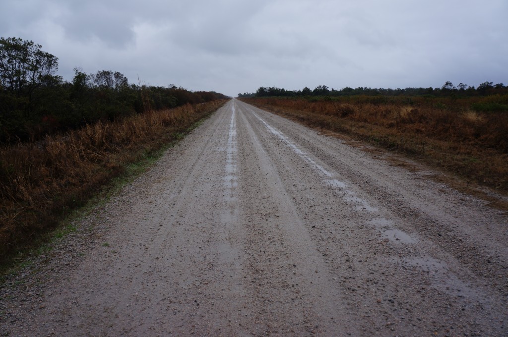
As we left the rain started again, and we still had a long way to ride.  10 of the remaining miles were on a dirt/sand/gravel road through a wildlife refuge.  On another day it would have been beautiful, but on that day it seemed to go on forever, and we were exhausted when we finally reached the edge of the lake we were aiming for.

10 slow, difficult miles into the wind on this muddy road nearly finished us.

10 slow, difficult miles into the wind on this muddy road nearly finished us.

At the end of the mud road we met a gravel road, and luckily a park ranger who provided us with yet another map to find the campground.  We didn’t know it at the time, but there were still 20 miles left to ride.  We were already exhausted, but the promise of a picnic table, restroom, and spot for the tent kept us pushing as the temperature dropped.

We arrived at the park at dusk – just in time.  The ranger was very nice and helped us find a sheltered campsite.  I spent nearly half an hour in the restroom hitting the hand drier over and over to warm up and dry my shoes out.

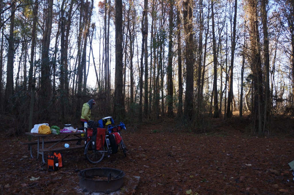
Our campsite at Pettigrew State Park.

Our campsite at Pettigrew State Park.

We were so tired that we didn’t even have energy to read after climbing in the tent.  Honestly, we were asleep at 7:30.


Honeymoon – Day 4

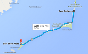
Avon, NC to Ocracoke, NC; 38 miles.

Route for Day 4

Route for Day 4

Practically a rest day for us.

When we woke up at the Avon cottages we found that the weather had changed overnight.  Instead of a cold wind from the north, there was a warm, wet wind from the south.  The warmth was more than welcome, but our pleasant tailwind had turned into a constant headwind!

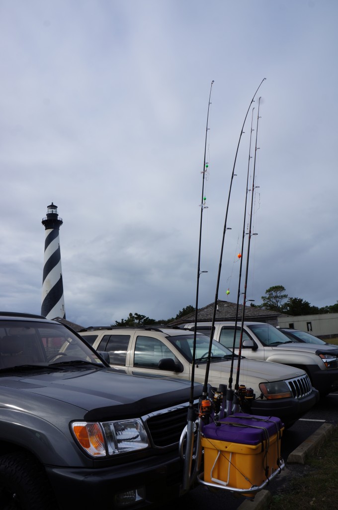
From Avon we headed south to the Hatteras lighthouse.  It was a slow November day at the National seashore.  There were, however, a number of trucks and SUVs with special carriers for fishing poles.  Apparently fishing is big business here.

Obligatory lighthouse photo with a twist - the fishing-equipped truck.

Obligatory lighthouse photo with a twist : the fishing-equipped truck.

The lighthouse itself was closed to climbing, but it was very pretty to look at.  For the next few days in mainland North Carolina we continued to see replicas of this particular lighthouse and its distinctive spiral stripes.

In the museum we learned that this area was called the ‘graveyard of the Atlantic’ because the large number of ships that wrecked along the shore.  In World War II it was called ‘Torpedo Junction” because German submarines lurked just off shore and sunk 397 merchant ships in the first 6 months of 1942.  We had no idea!

Waiting in line (briefly) for the ferry.  Note the giant homes in the background.

Waiting in line (briefly) for the ferry. Note the giant homes in the background.

After visiting the lighthouse we needed to catch a ferry to the next island, and we were lucky enough to ride up to the ferry landing just as they were maneuvering the final cars on board.  There is always room for a couple more bikes!  The ferry took us through quite shallow water – we could see sand banks just below the surface.

Once on the island of Ocracoke we stopped for lunch in a sheltered spot near the ferry landing.  Two separate ferry workers walked over to warn us of an encroaching storm, so we hurriedly finished our lunch and pedaled the remaining fourteen miles into town.

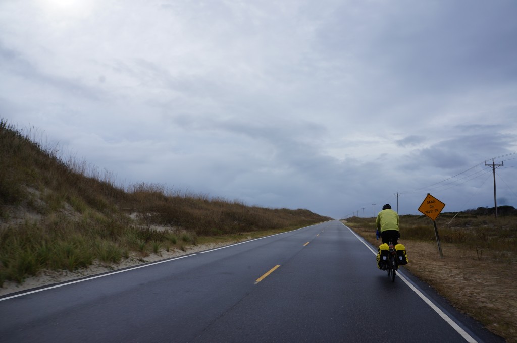
The final, forlorn-looking stretch of road before town.

The final, forlorn-looking stretch of road before town. That sign says ‘sand on pavement’.

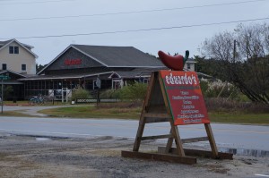
In Ocracoke we got yet another cheap motel, and even negotiated a discount for paying in cash.  Surprisingly, we saw a number of locals riding bicycles and driving golf carts around the quaint community.   The best surprise of all was Eduardo’s – the taco truck!  We ordered two burritos for dinner and they were absolutely delicious.

Eduardo's, the amazing taco truck in Ocracoke.
Eduardo’s, the amazing taco truck in Ocracoke.

We retreated to the hotel just as the storm arriving with wind and heavy rain.  The next morning we planned to catch the early ferry to the mainland, so we planned the next day’s ride using Google maps.  We would come to regret this soon…

Honeymoon – Day 3

Kitty Hawk, NC to Avon, NC
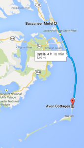
Route for Day 3

Route for Day 3

62 miles

The highlight for today was a visit to the Wright Brothers National Memorial.  It was located just a few miles south of the fantastically cheap Buccaneer motel, and we were there in time for the 10 am ranger talk.  The talk was very well done, and we learned the trials that the brothers overcome in their quest for powered flight.  We saw a replica of their first flying machine, and learned how they controlled it using their hands and their hips.  It was quite interesting!

After the ranger talk we ventured outside to see the place where those first flights actually occurred.  The Wright brothers had chosen the particular location because of it’s consistent strong winds and the sandy ground for soft landings.  The wind was certainly blowing while we were there!
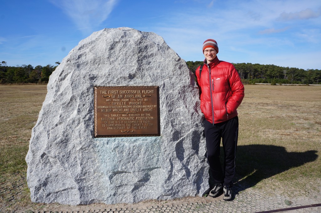
The place where powered flight was proven possible.

The place where powered flight was proven possible.

We spent some time checking out the monument and poking around the museum before getting back on the road.  It wasn’t long before we were hungry though, and needed to find a grocery store to restock our snack supply.  We found a drive-thru beer distributor near our route and they pointed us to the grocery store.  Going shopping on tour is always fun, but also dangerous because the temptation to buy more than we can fit in the bike bags is always present.

We were soon in the Cape Hatteras National Seashore Recreation area – a narrow strip of sand and dunes.  On Bodie Island there was a lighthouse that we lunched near, although weren’t permitted to climb.  It was quite bizarre to watch the tourists at times.  Some would drive up, stop their cars to take a picture through the window, and then continue driving.  It wasn’t even that cold!
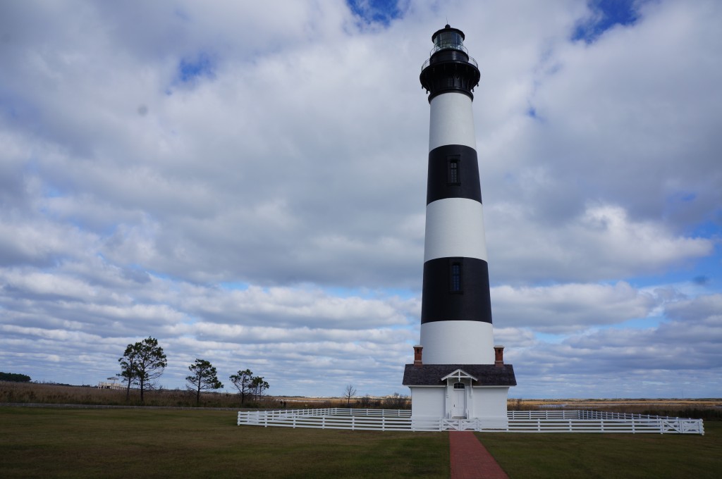
Obligatory photo of Bodie Island lighthouse.
Obligatory photo of Bodie Island lighthouse.

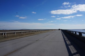
A hill!  You can see it in the distance if you look carefully.

A hill! You can see it in the distance if you look carefully.

Another highlight, as we headed south, was our first big ‘hill’!  Ok, so it was a tall bridge, but still!  As you can see from the photo, it was a fantastic day despite the cold.  The sky on the outer banks was quite beautiful.

On the narrow, sandy parts of the highway we witnessed a uniquely Sisyphean task: the removal of sand from the roadway.  A host of construction machines sat waiting for traffic-free moments to scoop up sand near or on the road and deposit it slightly farther away from the road.  We asked a ranger about how often this happens, and the answer was ‘every day’.
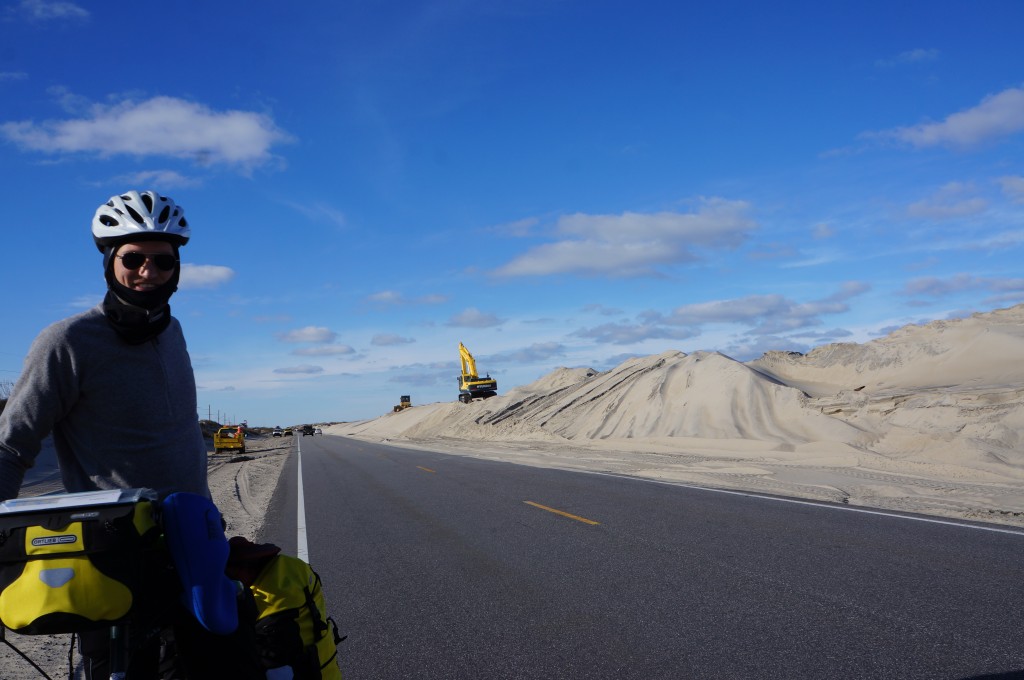
Pushing sand from the highway on the National Seashore.

Pushing sand from the highway on the National Seashore.

Unfortunately for us, we planned our trip too late in the year to stay in any of the national park campgrounds.  They all closed nearly a month before our arrival.  As a result, we planned on another motel stay.  We rolled into the town of Avon as the sun set, and the only motel we found looked abandoned.  I asked some locals if there was anything else, and they said we’d need to ride an additional 8 miles.  No thank you!

Jason called the number on the abandoned motel office’s door and found we could rent a ‘cottage’ for the night.  I put cottage in quotes because it was in fact a quadriplex, but it was cheap, had a kitchen, and it was getting cold outside very fast.  The women on the phone took our info and told us where to find the keys.  We were in!  Once inside, we checked out the distinctly dated decor, turned the heat to maximum, made dinner and were soon asleep.