Question Time – June 8

Q: How do you make sure you are going the right way and prevent from being lost? Especially if you side track to look for campsites and whatnot. Do you use an old fashioned atlas and follow a route that you mapped out beforehand? Do you look up campsites on the map or do you just find them based on signs you see on the road?

A: Luckily, up here in the far north, there is only ever one road to go down, so getting lost isn’t a problem! What we’ve been using to help guide us is The Milepost, which is an Alaska/Canada travel planner. They give mile-by-mile highlights on all the amenities and turnouts, etc., including campgrounds. Further south, in the US, we’ll use Adventure Cycling Association maps, which have turn-by-turn directions and amenities information. Further south still, we’ll probably just right down directions on paper and ask locals. I’ve read that some of the maps in South America just aren’t accurate and cannot always be trusted. At the beginning of the day we like to have an approximate destination in mind.  Also, we just ask folks along the way.  They are usually happy to help us, and sometimes even offer us a place to stay!


Silly display on side of road to Haines

Silly display on side of road to Haines

Q: How do you keep from scratching at your mosquito bites all the time? Seriously, itchy itchy! You must have a strategy. Inquiring minds want to know!

A: Daisy just scratches! Seriously! I try not to for 10 minutes, which is usually enough time for the main itchiness to subside. Mostly, though, trying not to get bitten in the first place is best. We’ve had good luck so far – since the weather has been cool at night most places the mosquitos haven’t been that bad.  At night sometimes we wear ridiculous bug hats.


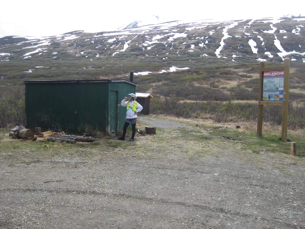
The green shack near Haines Road summit.

The green shack near Haines Road summit.

Q: How far do you ride each day?

A: After asking where we are riding to and from, the next question people always ask is this one. The answer is that we aim for 60 miles on a riding day. We’ve gone as much as 79 and as few as 40 miles over the course of a full day. On previous trips we have been able to do more miles daily, but our current set-up makes more than 60 or 70 pretty difficult.  Usually, we average about 10 miles an hour and ride 6 or 7 hours.


Q: Aren’t you going the wrong way?

A: Well, yes, and no.  Up here in the far North we get asked this a lot, because we have spent time riding East, West, South, and North instead of just heading straight south.  We just have a lot to see!  There is plenty of time for dawdling and seeing some extra sights while we are here, and the wiggles in route have been well worth it.

Whitehorse to Haines – A study in beautiful scenery

There was so much adventure and fun (i.e. struggle!) during this 4-day stretch!

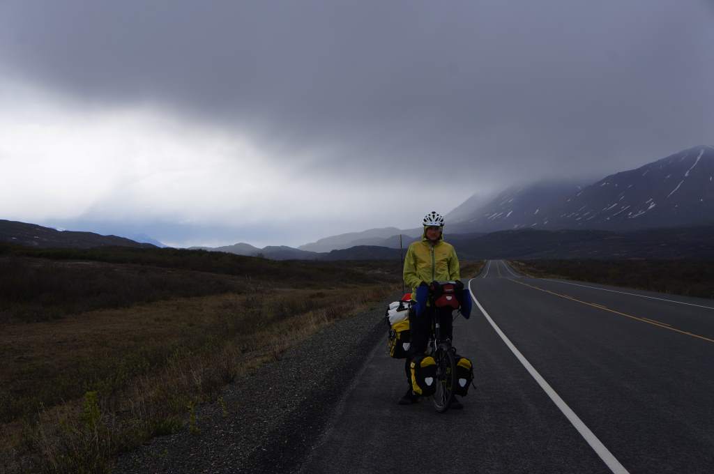
The storms threaten!

The storms threaten!

Whitehorse to Haines is about 250 miles, with one small town (no grocery store) and one stunning mountain pass.  We left Whitehorse later in the day after being thoroughly spoiled by our friend Alice.  In fact, we were so well fed that we didn’t even bother making dinner that first night, opting instead to eat left-over pancakes from the breakfast she had made us!

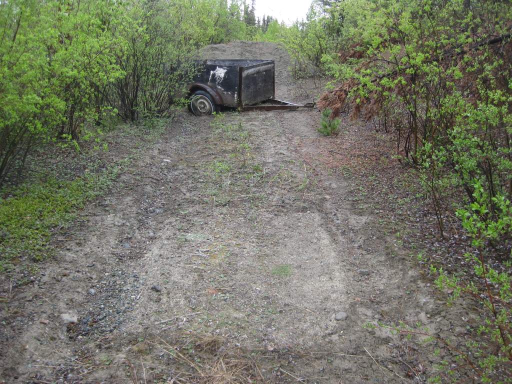
Dirt turned to mud..

Dirt turned to mud…

We camped a mere 20 miles from Whitehorse, just a small bit off the road on a small patch of hard-packed dirt next to an abandoned truck trailer.  It was a great, hidden spot… but then the rain came.  That hard-packed dirt became cement-like mud and after packing up in the morning our shoes were piled high with the stuff.  It was like walking on platform boots!

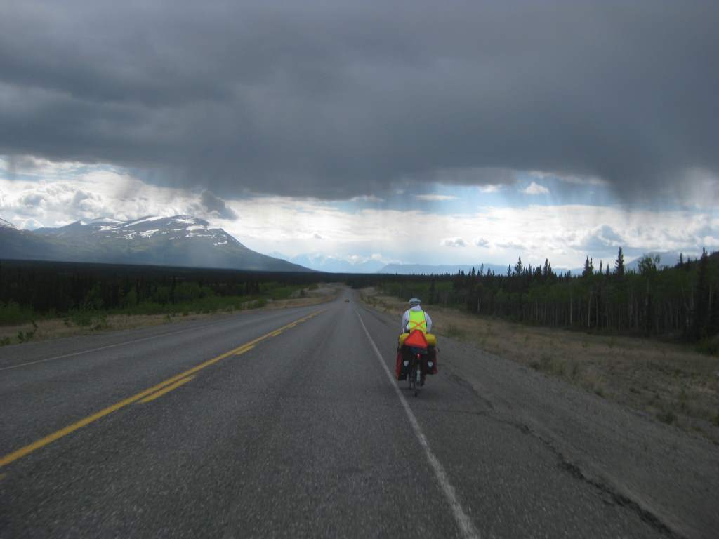
The riding is good.

The riding is good.

The storm threatens!

The storm threatens!

The rain was to come and go for the next three days en route to Haines, but somehow it wasn’t too bad for us.  We put our coats and pants on and off, on and off as the showers moved over us.  One day, we put them on 7 times! Our second day out of Whitehorse we rolled into a campground just as a big storm reached us.  We were so lucky that there was a 24-hour restaurant attached to the campground, where we got the $5 pie special and found a sheltered spot to cook.  They offered us free showers, but since we had spent all day in ‘showers’, we didn’t even want them.

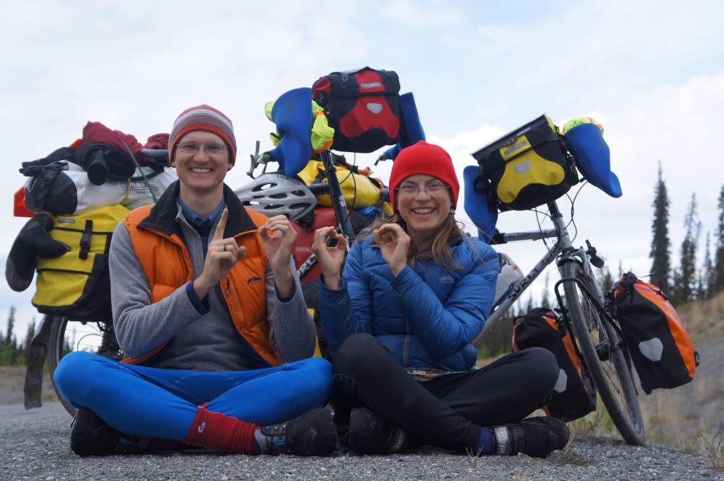
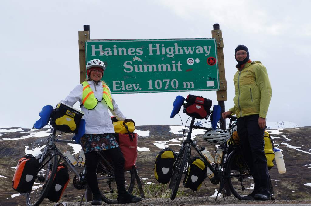
Our big accomplishment so far:  1000 miles since Anchorage!!  We were about 10 miles from Haines Junction, and we stopped to celebrate.

1000 miles!

1000 miles!

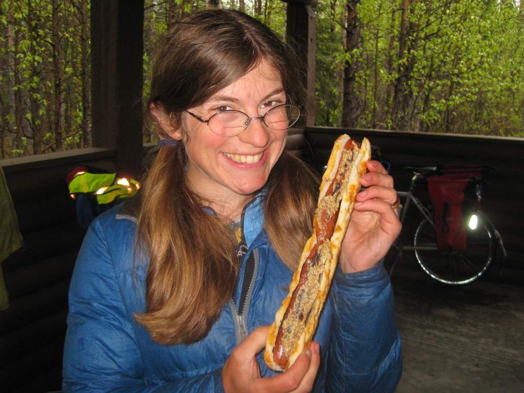
We bought day-old cheese stick bread in Haines Junction, and headed out on Haines Highway.  The rain continued to come and go, but it didn’t matter to us because the scenery was still stunning.  Our longest day (79 miles) yet ended at Million Dollar Falls campground – we had ridden an extra 20 miles for the promise of a picnic shelter.  We were not disappointed, the shelter was excellent and we ignored the ‘no tents’ sign and slept out of the continuing rain.

Hot dogs...  bike-touring in the Yukon style.

Hot dogs… bike-touring in the Yukon style.

Now, finally, here is the amazing story of the post:

After we made breakfast at Million Dollar CG, we went to retrieve our ‘smelly things’, which we had stored in the back of the bear-proof garbage bags right next to the shelter… and they were GONE. It seems that the park employee had changed the trash bags, and assumed our little bag was trash. We were at first numb, then we started to list all the things that we would need to get anew – Jason’s hand medicines, our spare prescription glasses (!!), our toothbrushes, creams, floss, etc. It was awful. Daisy had a meltdown when she thought the leatherman was lost too, but then we found it in a bear canister. So, finally, we got our stuff packed and limped out of the campground.

At the entrance to the highway we flagged down a Yukon Government Road Maintenance truck, hoping he would have a radio to call the park guy on. No luck, but he said that he knew the guy and a few of his hangout spots, and would check for us. Then if he did find the bag, he would bring it to the ‘Green Shack’ the next day. He also warned us that he believed it was a lost cause…

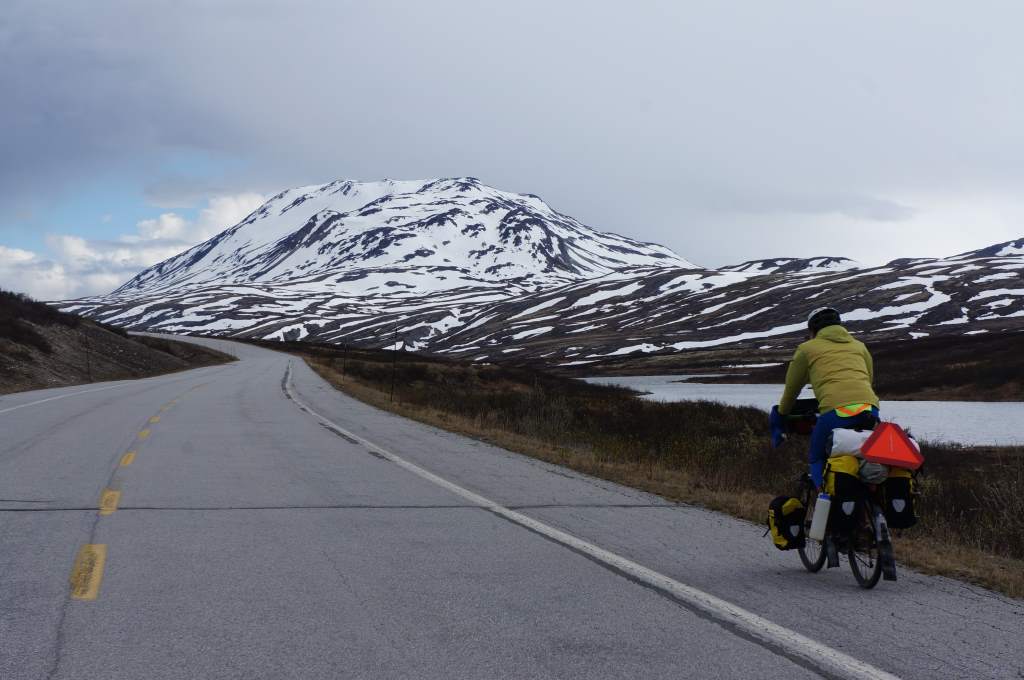
We continued on, trying to find some silver linings like: ‘Well, the bags are a lot lighter now!’, ‘I guess we didn’t really need that anti-itch cream.’, and ‘At least everything smelly fits in the bear canisters now!’. It took a long time to get cheered up, especially as we climbed higher up and toward the pass with the rains continuing to come and go. On the bright side – the scenery was stunning!

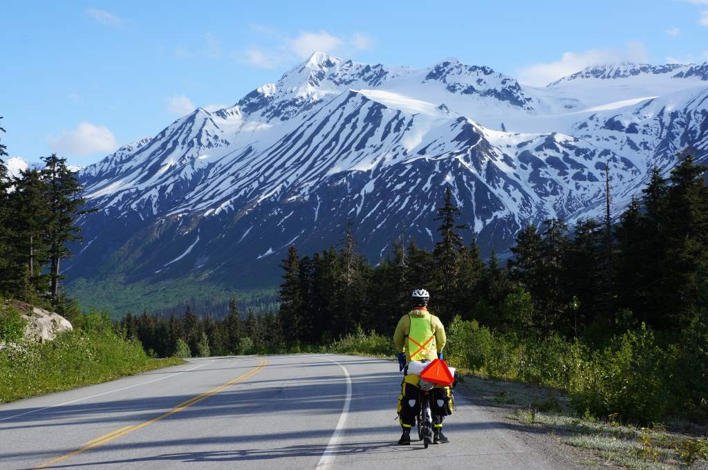
More scenery.

More scenery.

DSC09742

As we neared the summit, we saw the ‘Green Shack’ that we have heard so much about. It looked like nothing special from the outside, but on the inside we would find it to be a warm, cozy oasis. We turned off the road to leave a note for the road worker, and just as we did we saw his truck turn in behind us. Could it be true?! His passenger hopped out of the truck holding our bag full of items! He had found it, and driven all the way up to nearly the summit to get it to us! We were in so much shock, awe, and happiness that we didn’t even get the whole story from him before he got back in the truck and drove off the way he came.

The miracle workers in the Yukon truck.

The miracle workers in the Yukon truck.

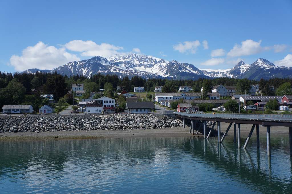
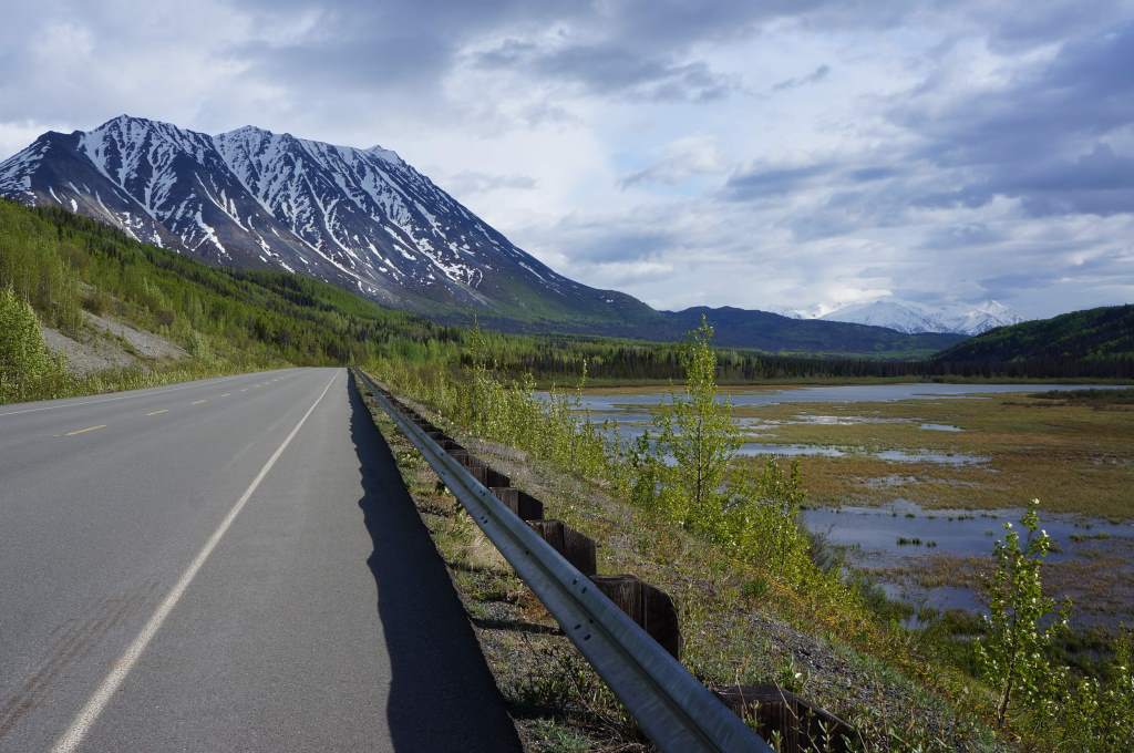
The rest of the trip into Haines was actually great.  The sun came out, the border was no problem, and the scenery continued to be stunning.  As we neared town we met some rafting guys who live with our host in town (Thanks Andrew!).  Haines is a great, great town, we have met and chatted with many folks and are happy to spend a few days here seeing the sights.  Next stops – Juneau, Skagway, and then back to the Yukon!

Here are some more pictures of our descent into Haines.  It was so lovely.  I highly recommend this road to everyone!DSC09765

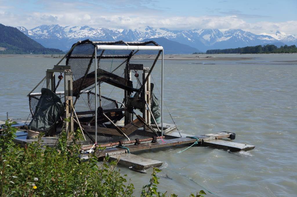
Fish Wheels.

Fish Wheels.

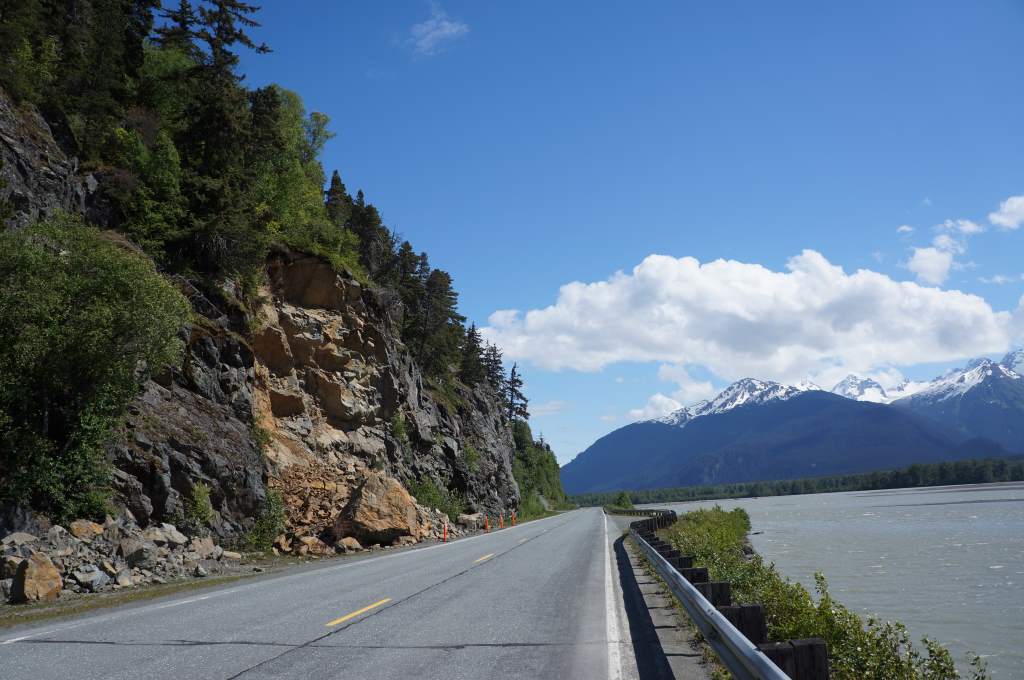
Scenery rolling into Haines - notice rockslide on the left.

Scenery rolling into Haines – notice rockslide on the left.

DSC09750

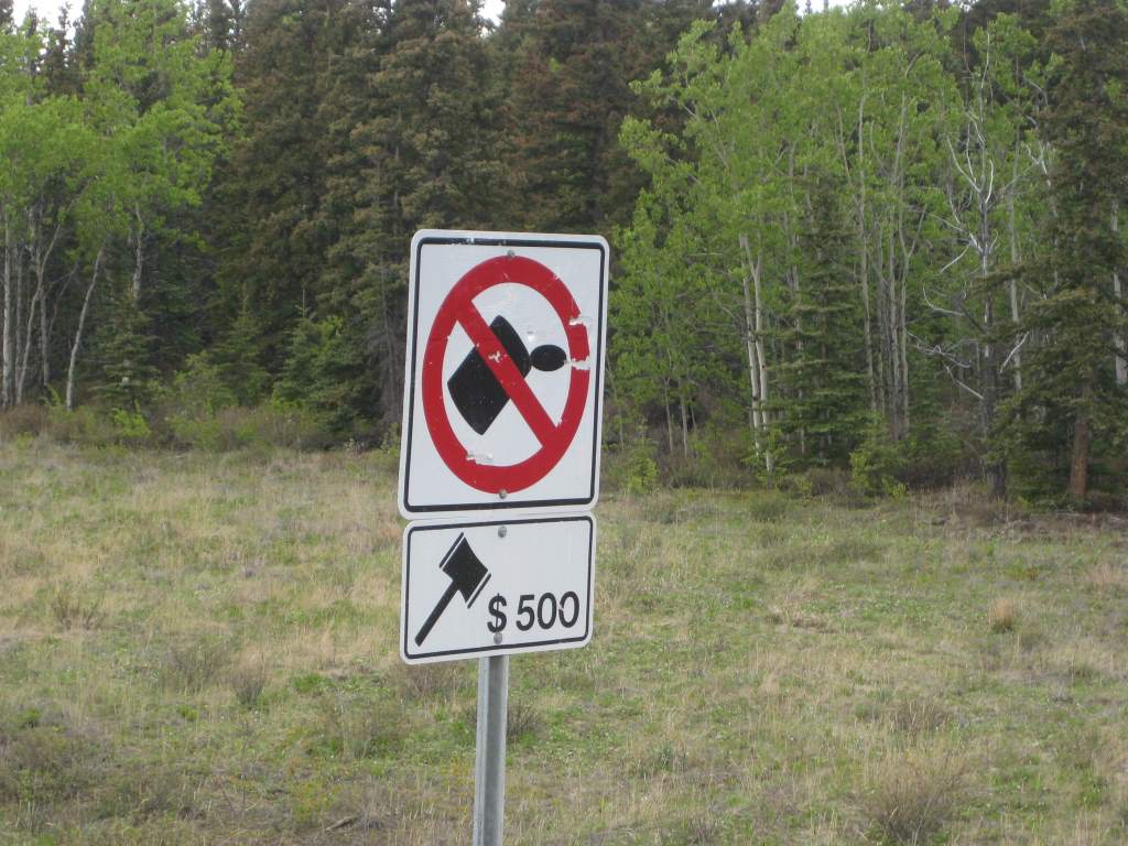
Litter and it will hurt.

Litter and it will hurt.

Yukon Wildflowers

In the Dawson City Visitor’s Center, one of the guides gave us a little booklet about wildflowers in the region. I think she probably realized how good of a fit this gift was – considering the number of hours that we stare at the edge of the road!

Most of the flowers below prefer “dry, rocky soil.” That condition exactly describes the gravel shoulder on every road we’ve been riding. So, you can imagine that we’ve been seeing these flowers a lot.

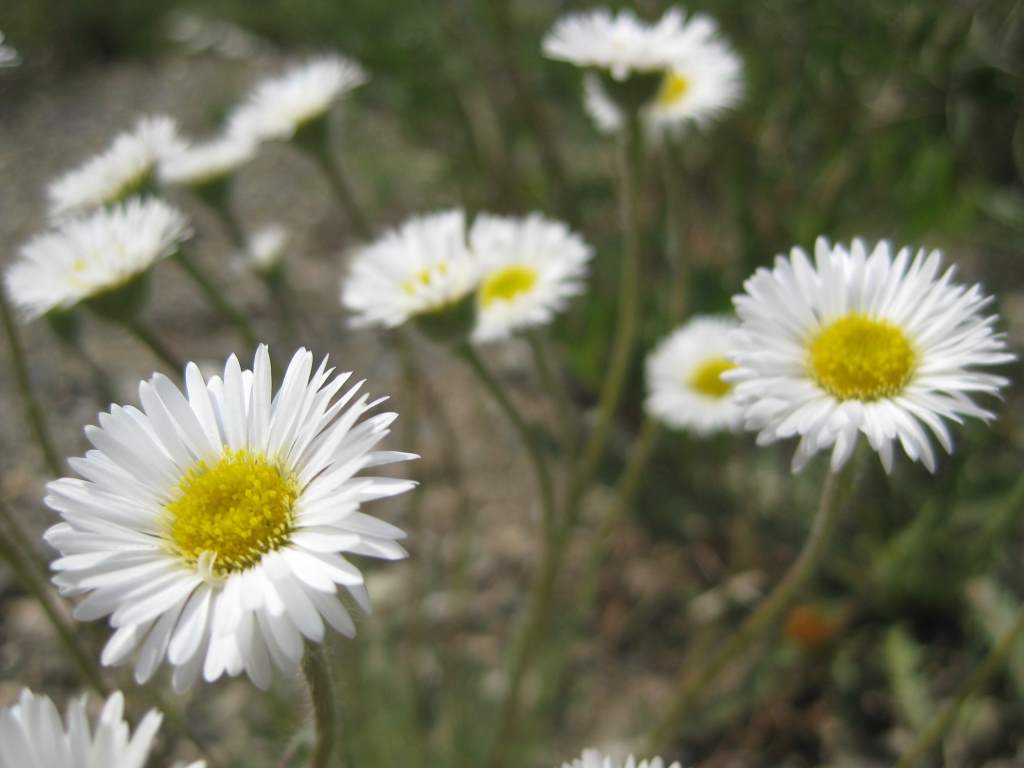
Tufted Fleabane (Sunflower family). It was believed that bunches of the dried plant would drive out fleas. (Luckily we haven't had to test this with our tent!)

Tufted Fleabane (Sunflower family). It was believed that bunches of the dried plant would drive out fleas. (Luckily we haven’t had to test this with our tent!)

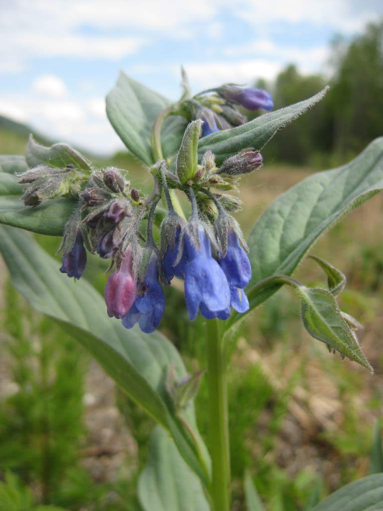
Tall Lungwort (Borage family). The leaves of this plant are edible. Instead of making a salad, we added some to our rice and it added a nice almost oregano-like flavor. Eaten raw, the leaves were like a sweet lettuce.

Tall Lungwort (Borage family). The leaves of this plant are edible. Instead of making a salad, we added some to our rice and it added a nice almost oregano-like flavor. Eaten raw, the leaves were like a sweet lettuce.

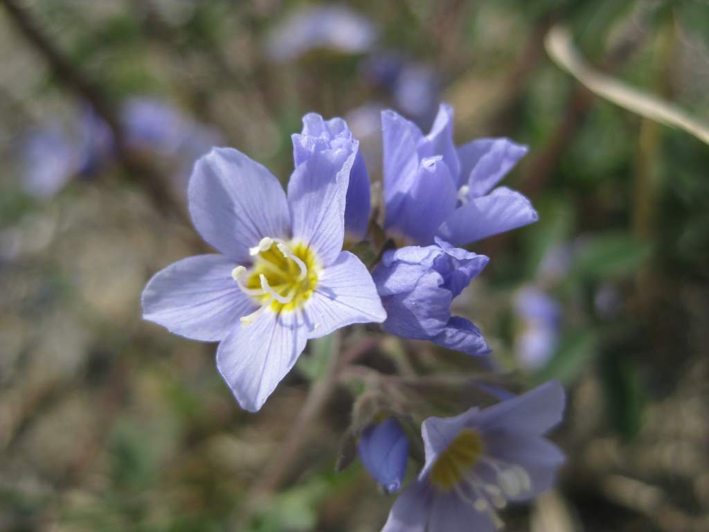
Showy Jacob's Ladder (Phlox family). The name refers to the ladder-like arrangement of the leaves.

Showy Jacob’s Ladder (Phlox family). The name refers to the ladder-like arrangement of the leaves.

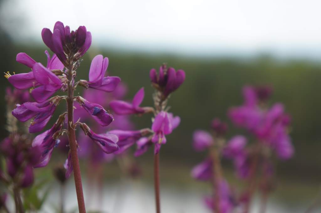
Northern Sweet-vetch (Pea family). This one is known to be poisonous, but there is a flower that looks very similar ("Bear-root" or "Indian Potato") for which the roots are edible.

Northern Sweet-vetch (Pea family). This one is known to be poisonous, but there is a flower that looks very similar (“Bear-root” or “Indian Potato”) for which the roots are edible.

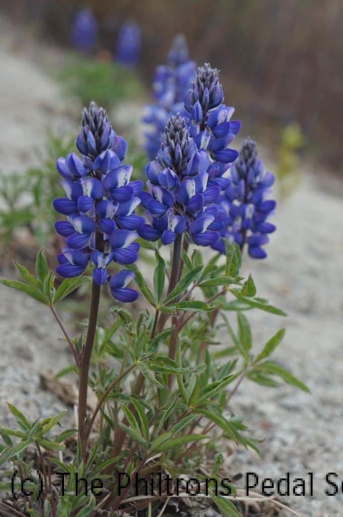
Arctic Lupine (Pea family). Very common throughout the Yukon, and also poisonous.

Arctic Lupine (Pea family). Very common throughout the Yukon, and also poisonous.

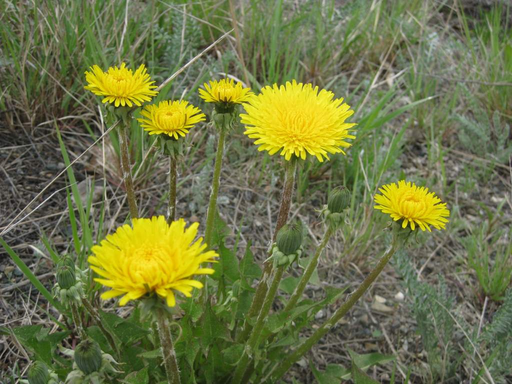
Horned Dandelion (Sunflower family). These are slightly different than the ones that probably grow in your yard!

Horned Dandelion (Sunflower family). This probably looks very familiar, but it is slightly different than the ones that probably grow in your yard!

Tidbits – June 1, 2014

Here are a few items that have been bouncing around our heads as we ride…

Robert Service Poetry

We loved the introduction to Robert Service by the Parks Canada interpreters in Dawson City. His poems give the feel of the Yukon and roll off the tongue with flourish. You can read some of his poetry online, for example at RobertWService.com. One of the most famous is The Cremation of Sam McGee.

Percy the Mailman

In Dawson, we heard a fantastic story of a mailman named Percy who served for about 40 years delivering mail year-round in the far north. His route was from Dawson up and over to Eagle, AK, from around 1900 to the 1940s. Here is the story of when Percy got frozen to his sled…

He was dogsledding on the frozen Yukon river. Although the dogs were light and ran across some thin ice, his sled broke through. The sled fell in the water with him and his letters, becoming drenched. At the moment he was falling, he yelled “Mush!” and the dogs pulled the sled out of the water and on top of the ice. It was so cold that the water froze him to the sled – boots, legs, arms, and all. However, the dogs knew the way to the next town and just kept on running. When Percy arrived, the townsfolk cut through the ice to free him from his sled. He emerged from the ice unharmed!

Question Time

We’re a few weeks in now, and I imagine you may have some questions about our trip. Do you wonder about the big picture of where we’re heading? Or maybe the day-to-day things like how we do our dishes? Write your questions in the comments below, or via the Contact Us page, and we’ll answer some in a new post on our next rest day.

Fibonacci Sequence and Mi/Km

This one is really nerdy, so prepare yourself! … Now that we’re in Canada, and distances are in kilometers, we’ve been practicing and getting better at converting between miles and kilometers. I was a little bored one day, and decided to work out a few conversion points (rounded to nearest integer) to use as a reference: 1 mi = 2 km; 2 mi = 3 km; 3 mi = 5 km; 5 mi = 8 km; 8 mi = 13 km; 13 mi = 21 km; 21 mi = 34 km; 34 mi = 55 km; 55 mi = 89 km …

To this point, it happens to be the same as the Fibonacci Sequence: 1, 1, 2, 3, 5, 8, 13, 21, 34, 55, 89, … ! I think this is because the golden ratio (1.618…) and the mi to km conversion (1.609) are nearly identical. I will leave it to my math friends to argue any other points.