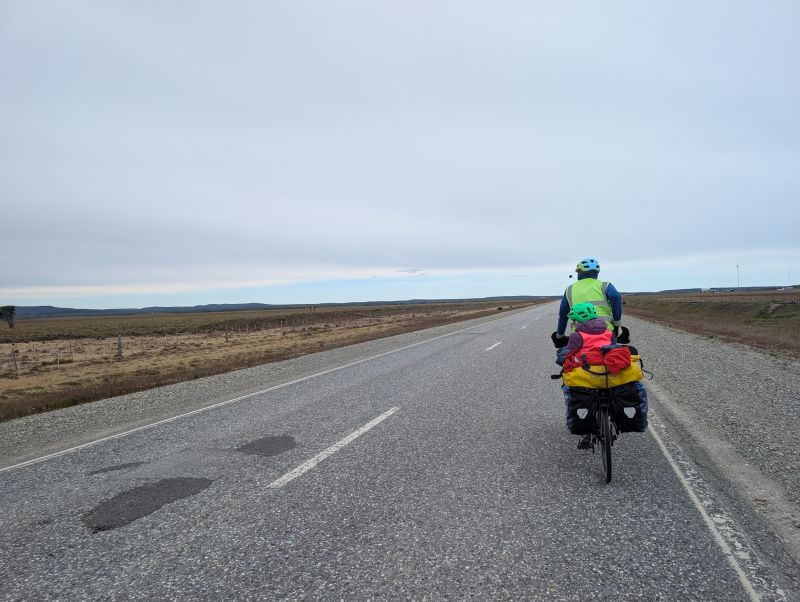
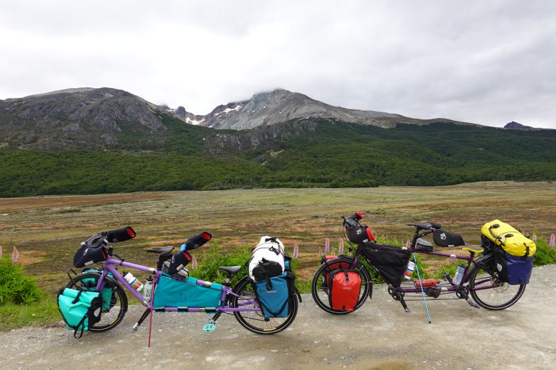
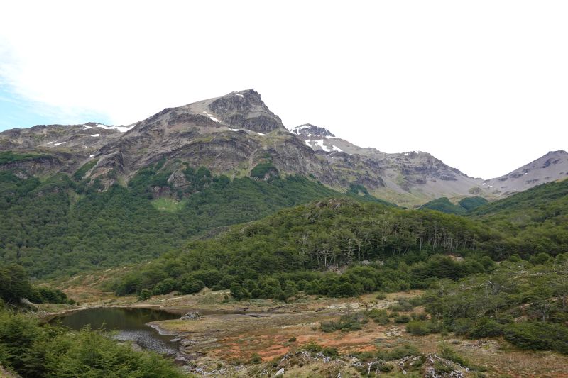
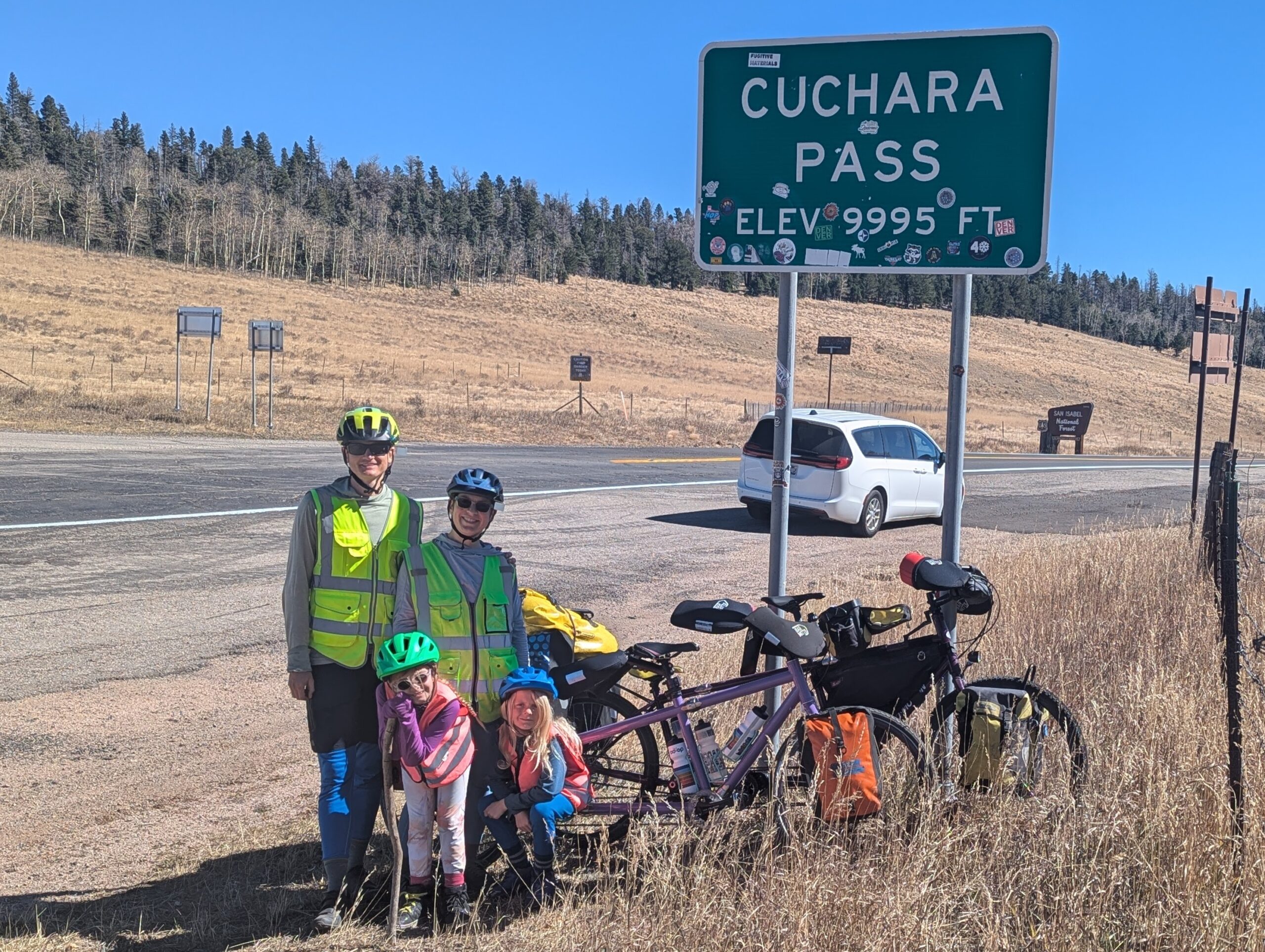
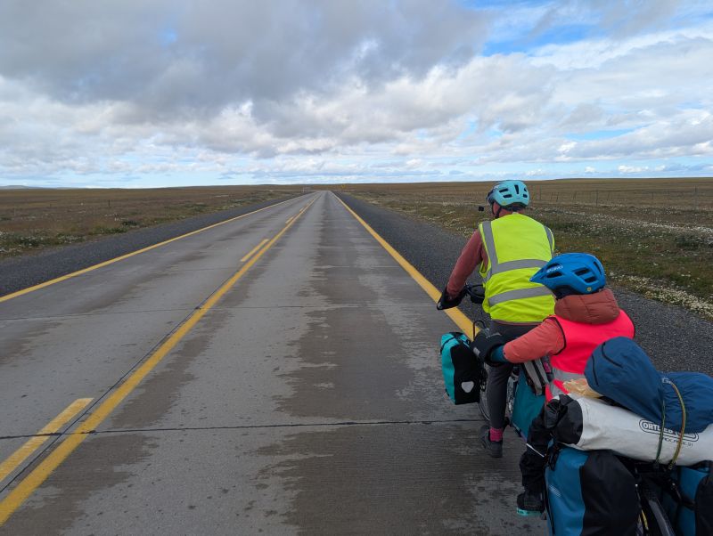
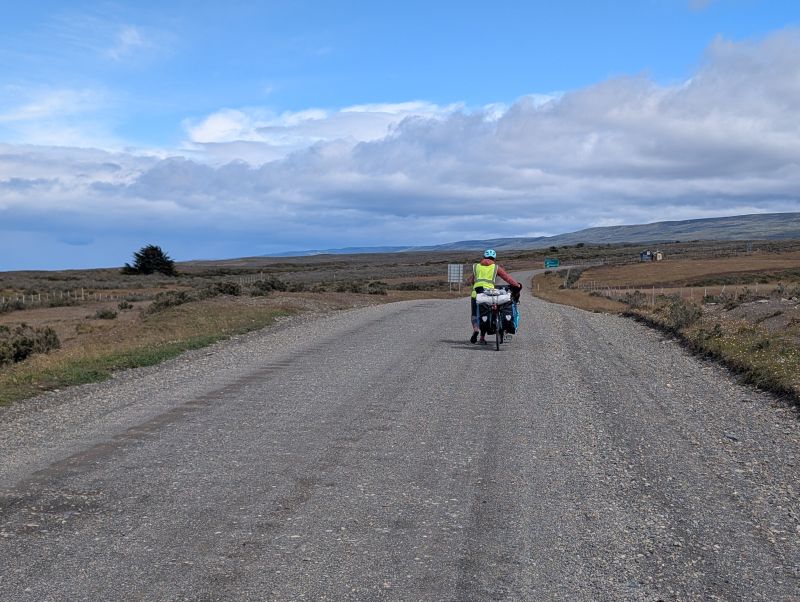
This is the stretch we have been stressing about since long before the trip even started. It is 230km with almost no services, and a border crossing at 90km that requires us to shed *all* fresh foods and legumes. This area is notorious for the kinds of winds that usually would prompt wind warnings in the US but people here are simply accustomed to them. There were 50km of rough dirt roads, and at the very end there were brutally steep climbs around Useless Bay. That is literally the name of the body of water (Bahia Inutil). In this entry (which is long so prepare yourself) we choose a good-enough weather window and we go for it. Many adventures follow.
Rio Grande, Argentina to San Sebastián, Chile (93 km / 58 mi)
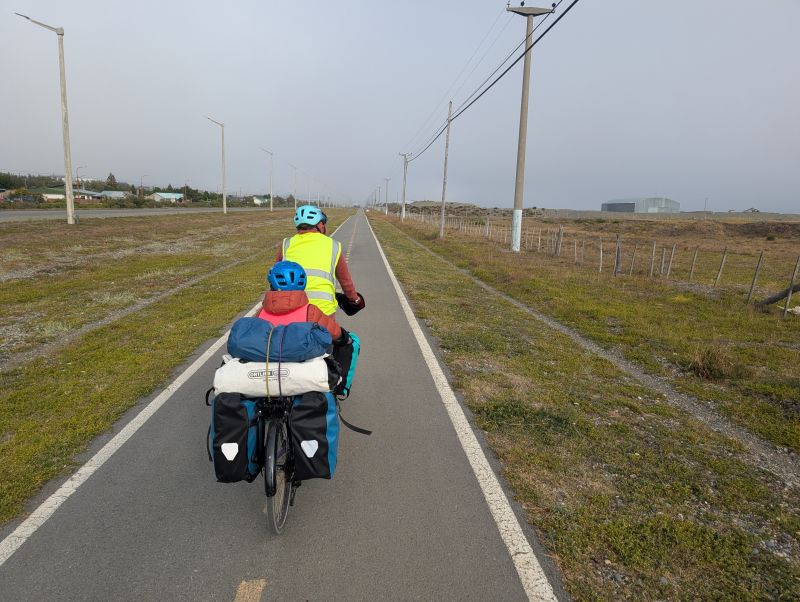
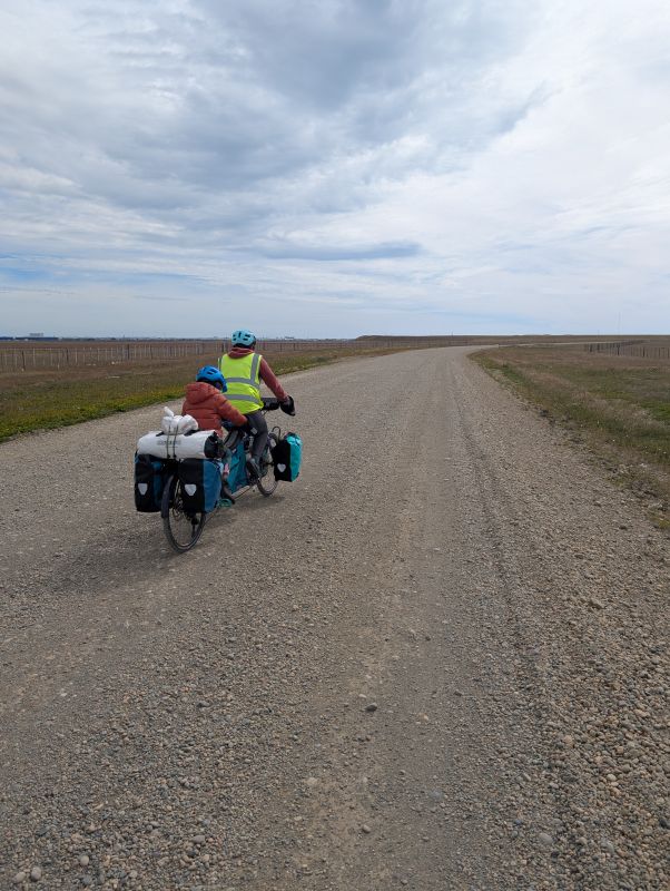
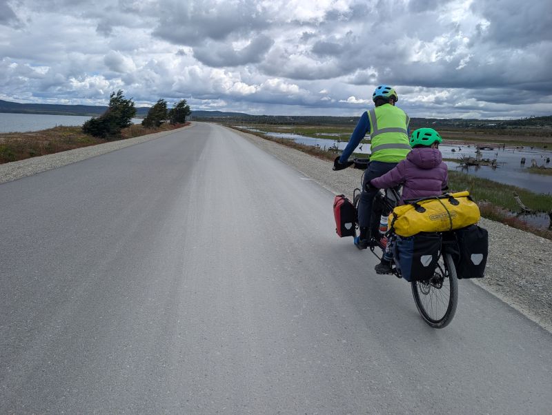
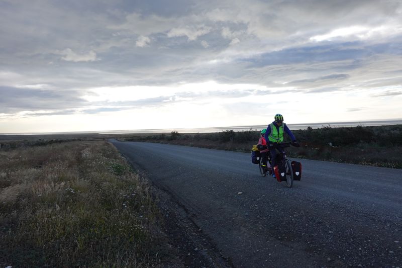
Our longest day ever! Today was an unusual wind day in this region. It started out completely calm, so we were up and riding before 8am. There was a thick fog over Rio Grande, so we were happy to ride along the smooth bike path, separated from the main road. Once town was done… so were the things to look at. There was just flat land all around us for most of the day.
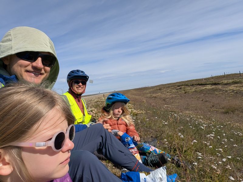
The wind stayed calm for the first 30 or so kilometers, and we didn’t stop for lunch until 50 kilometers were behind us. By then the wind was whipping and we had to shelter behind a small hill to eat. Even so, Jason accidentally swatted a fly straight into Henni’s mouth which was very unpleasant. A kind cyclist stopped and gave us some packs of energy goo, which were much appreciated later as we battled the wind and there were a few hills to ride over.
We fought the growing headwind up and limped our slow way forward. The wind was manageable but unpleasant and cut our speed from 20km/hr to 10km/hr. Despite the slow progress after lunch we reached our intended destination, a hotel on the Argentine border by 3pm. We asked after the rates and space (the place was obviously empty) and they told us they were full and could not accommodate us. WHAT?! We hypothesize they didn’t like kids. After sitting down to eat a second lunch we looked at the wind, which had switched to a brisk tailwind, we decided to cross the border and ride the additional 15km to the border outpost on the Chilean side. By eat a second lunch, I mean that we attempted to eat all of our fresh fruit, veggies, cheese, and salami which wouldn’t make it through the border crossing.
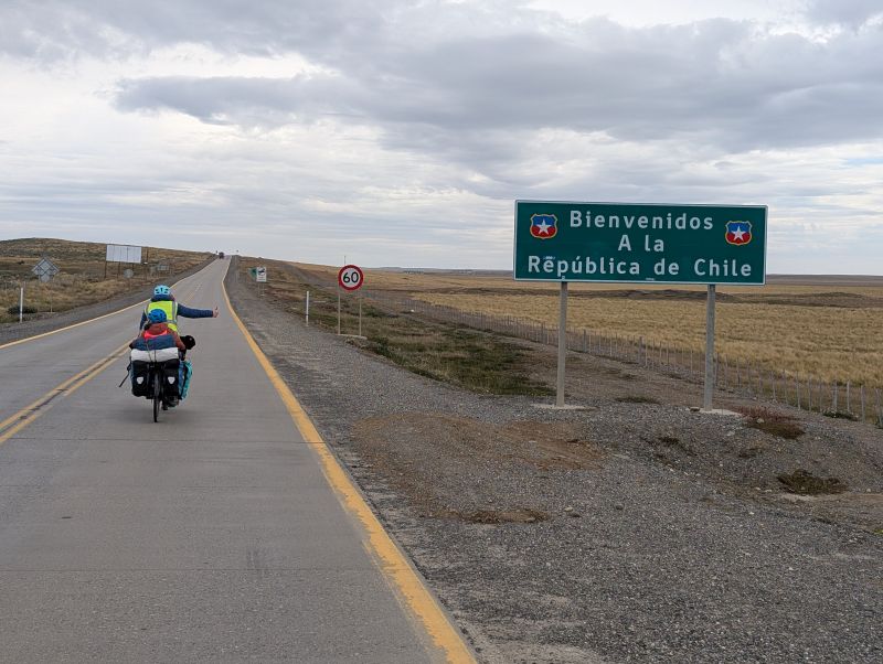
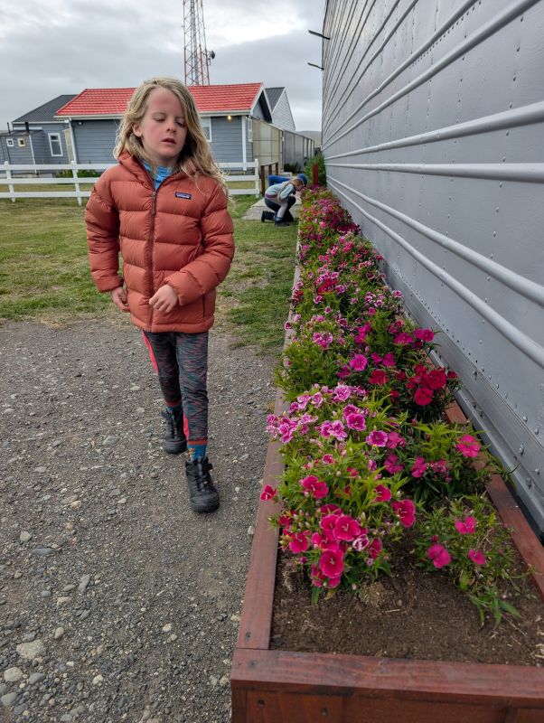
Leaving Argentina was quick. They give you an exit stamp and send you out to no man’s land. There are 15km of mostly flat land between the two border facilities. It is occupied by sheep as far as the eye can see. (Literally thousands of sheep!) The tailwind blasted us through this area and we were downright gleeful about it. All too soon we were stopping at the Chilean border complex, which required three separate stations and lots of forms. First it was passports, then it was a temporary import form for each bicycle, then finally it was agricultural inspection. Chile is notorious for not allowing anything fresh into the country. We had already piled up the dinner we had planned for Argentina: eggs and broccoli. The border agent took those items and then trusted us when we said everything else was processed and packaged (it was). We got out of the border complex in only 30 minutes, which might be a cyclist record. Just across the street was a small border outpost made up of a hotel and a restaurant. It was a beautiful thing: warm, clean, and barely within our budget for two simple rooms and shared bathrooms. Of course, no one else was there so we enjoyed the entire game room by ourselves.
Rest day in San Sebastián
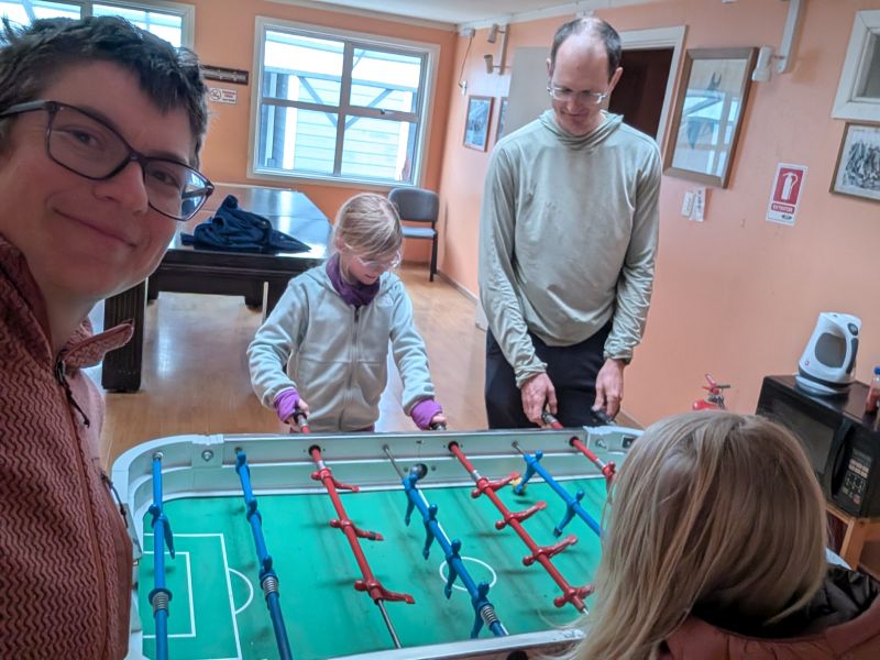
Overnight a strong storm blew through, turning the previous day’s tailwind into a raging headwind. The winds were forecast to be over 30mph sustained headwinds today, so we decided to stay in the hotel for another day. We lazed about reading, playing video games, and competing at foosball. For lunch we walked to a nearby kiosk serving giant sandwiches and hot dogs. It was only a half mile, but the strength of the wind against us was incredible. I’m so glad the girls are having this experience: you can’t replicate it by reading or watching videos. Trying to walk into a 40+ mph wind is an experience you never forget.
San Sebastián to soggy wild camp refugio on the side of the road (61 km / 38 mi)
Another storm blew through overnight and the rain was forecast to linger into the morning, so we ate a relaxed and delicious hotel breakfast while waiting for the rain to stop. As we finished eating the wind was gone and so was the rain… it was straight onto the bikes!
The riding started out gently uphill, and the calm wind didn’t last very long. Within an hour it was whipping at us, but at least the sun was shining. By the time we were pedaling hard downhill just to keep up a 5 mph pace we knew it was time for a rest. We found a protected spot out of the wind (read: a grassy hole in the ground) and lazed in the sun for 1.5 hours reading our kindles. The worst of the wind had stopped by the time we continued.
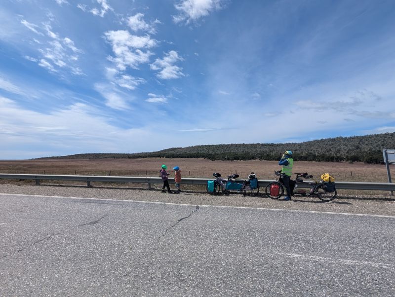
At 5pm we reached the turn-off for Porvenir. This is the last place to get water for many, many kilometers, so we got a refill across the street from the construction workers’ housing. They were very nice. We also inspected two shelters for travelers that the Chilean government built some time ago. Sadly, they have been vandalized and used as toilets by passersby. They would work in an emergency, but we chose to carry on.
Our weather apps said it would be calm and wind-free around 6pm so we set off happily for the final 18km to our planned camping location. The wind is so strong here that you can’t just camp anywhere – you need shelter or a wind-block, and those are few and far between. There was literally nothing for those 18km. There was, however, a brand-new paved road under construction.
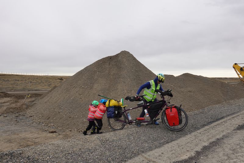
We were encouraged to ride the new pavement by construction workers and everyone we met. It was fabulous! One worker even stopped to give the girls granola bars and juice boxes. When the road was cut due to a gigantic ditch under construction, a group of workers helped us carry the bikes down and across. One laughed wildly and said “Cien dolares! Cien dolares!”, joking he would charge us $100 for the help.
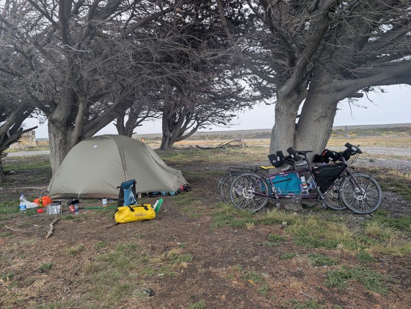
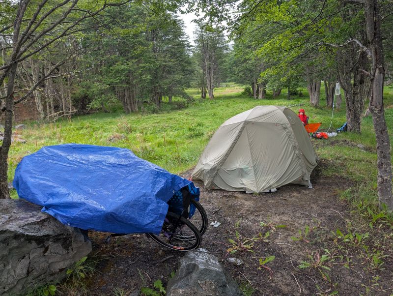
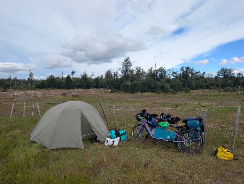
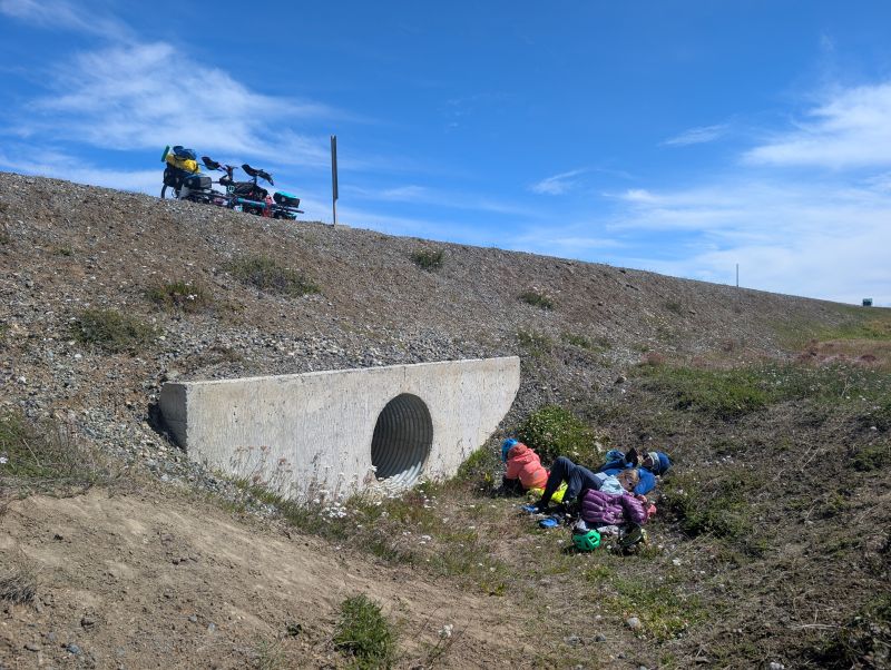
When we had about 10 km to go… the wind picked up again. Then it got worse. Then it started to rain. We were all in pretty sad spirits, but we had no choice but to carry on. It was with great relief that we reached the small stand of trees and another shelter (refugio) next to the road. Another cyclist had already set up his tent in the shelter, which was fine because it was in awful shape anyhow. Many windows were broken and one entire wall was exposed to the wind. We chose a spot next to a big tree that was well-protected when we set up the tent. It was cold and wet, but we ate a good warm dinner and snuggled into our sleeping bags to rest. It was such a relief to be done with that long, windy day. For the kids it was bliss… for the grown-ups the day was not over. Around 11pm the wind changed direction and yet another storm blew through. The tent was not protected from that side, and we watched as the tent poles bent in over us, nearly breaking. Jason and I jumped into action. (It was more like lumbering into action for the sleepy Jason.) We held up the tent with our backs as the wind raged and the girls slept. Ever optimistic, we settled in with our down jackets and kindles to read as the storm raged. Within an hour the gusts stopped and we went back to sleep. What a night!
Soggy Refugio to Estancia Draga sheep farm (40 km / 25 mi)
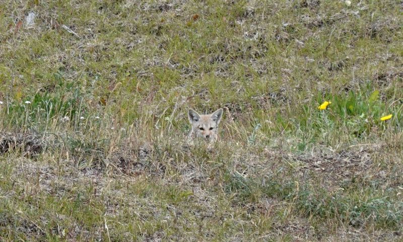
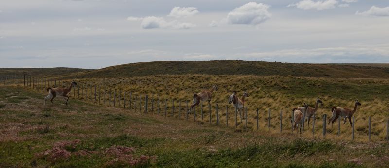
I woke up to a calm, overcast morning. It was surreal watching guanacos wander through the nearby construction site in the quiet light. Of course, by the time the girls woke up it was raining. It was a cold rain. We decided to wait a bit for it to stop, eating breakfast and playing cards in the tent.
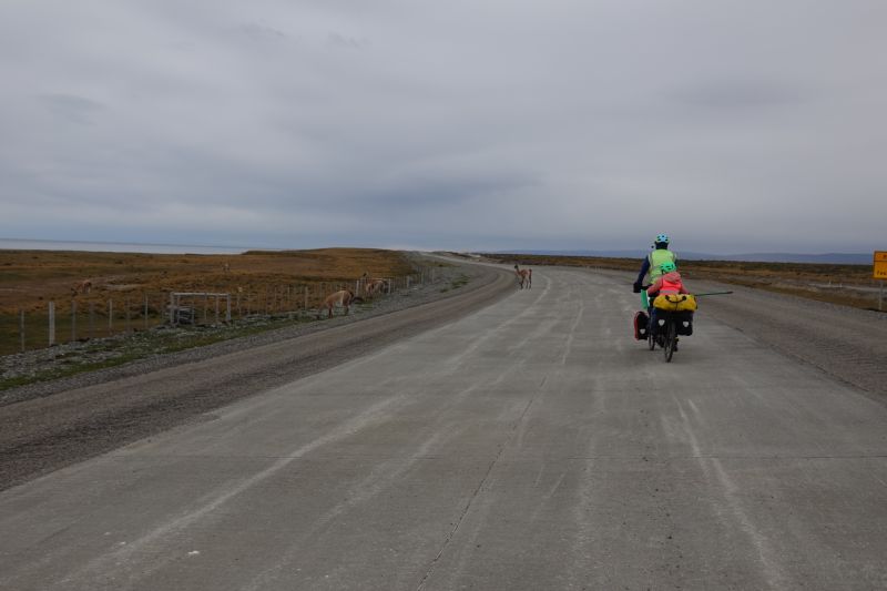
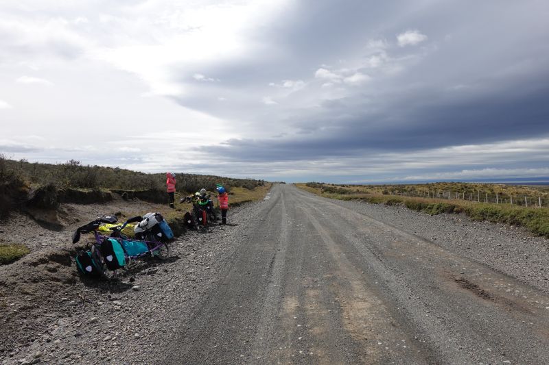
As soon as the rain stopped, we noted a tailwind and jumped into action. We packed and scrambled and hopped on the bikes to take advantage of any help we could get. The tailwind lasted about as long as the new pavement did. Then we were spit unceremoniously onto a rough gravel road and the side wind kicked up in strength.
We stopped in a sheltered spot for a snack, and when we got back on the bikes the wind was so strong from the side that we couldn’t safely ride the bikes. We had to walk the kilometer or so to the next turn in the road, where we found another sad and vandalized refugio. Again, this used to be such a treasure for cyclists seeking refuge from the wind and rain, but now the windows are broken and the place has a bad smell. It would be suitable for emergencies, but we still had a lot of daylight so we continued on.
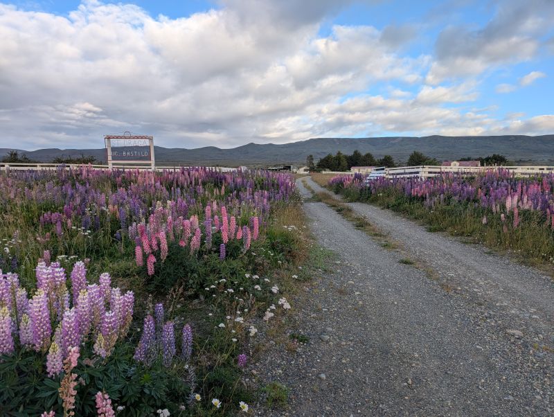
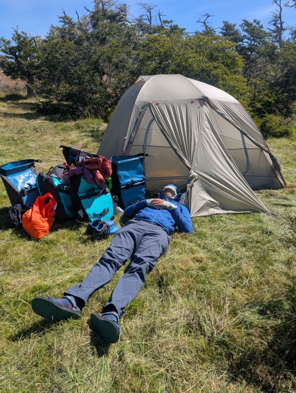
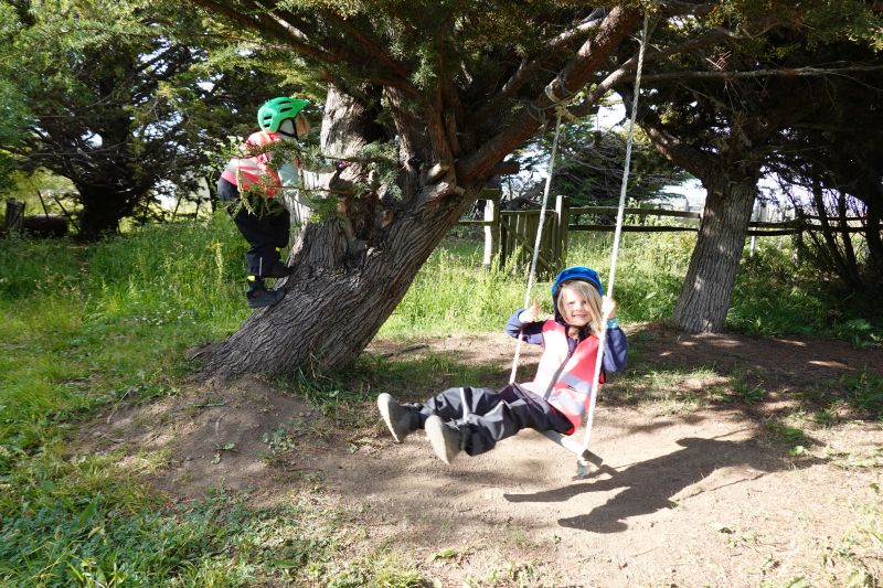
The wind was unrelenting all afternoon. Sometimes as a headwind and sometimes as a side wind. I remember pedaling uphill, in a raging headwind, on a rough dirt road at 5km an hour (that’s 3 mph) and thinking… this is better than walking at least. By 5pm we were exhausted and still 5km from the next sheltered place marked on our map. We were very slowly making progress up a big hill, and at the turn there was a sheep ranch. We decided to send Jason and H up to the gates to ask about water and a sheltered camping spot. Luckily, we were welcomed with open arms. They showed us a very lovely, sheltered spot to camp with a little outdoor kitchen and a picnic table. (Actually, it was one of the largest picnic tables we’ve ever seen!) The family had a young child too, so there was a swing the kids enjoyed. We made a big dinner of pasta and refried beans before heading to bed. It felt so good to be in a safe, wind sheltered place!
Estancia Draga to Porvenir (41 km / 25 mi)
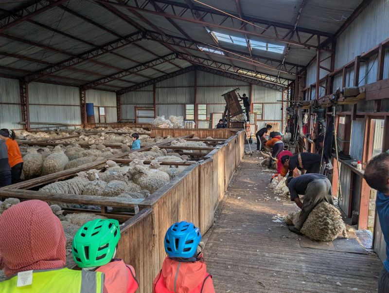
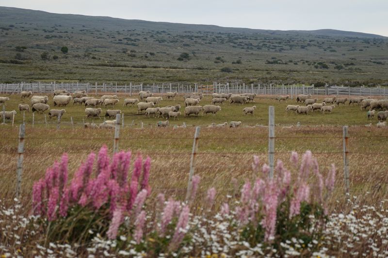
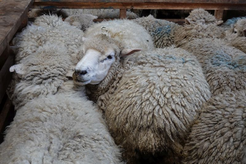
The barking sheep dogs woke us up early, around 6:20 AM, and it was a good thing too. We needed every bit of early morning riding time before the wind started up. We ate a cold breakfast of cookies (yum!) and were just heading out when a woman came by our camp to let us know they were already shearing the sheep! There are 900 sheep on this ranch and apparently a whole crew was there to shear them during a two-day period.
In the shearing barn we were able to watch the process. The sheep were crammed into pens, and four men were lined up with electric shears along one wall. They would reach into the pens and grab a sheep, then hold them upside down and cut off the wool in one huge mat. A woman was constantly sweeping up any escaped bits. The big piece of matted wool, once freed, was shaken then crammed into a huge wooden box and stomped down by another person standing on top. It was a sight to see! What an amazing gift to be there.
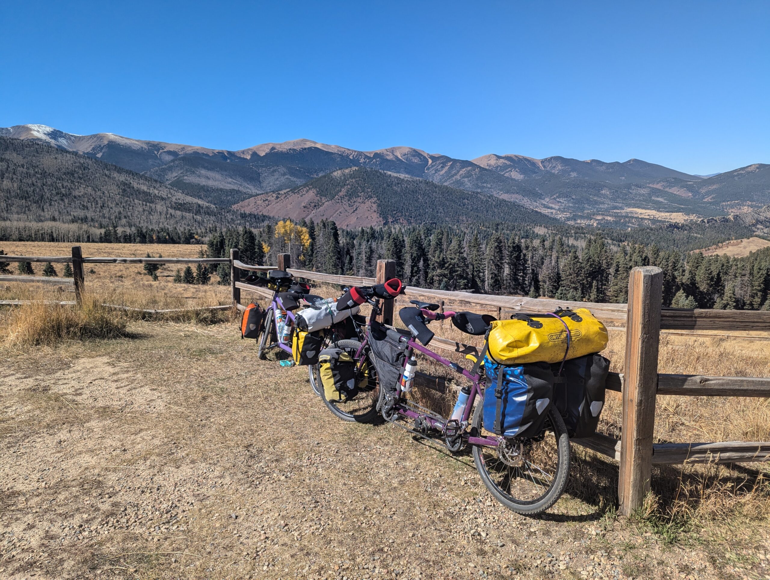
The rest of the day was not so glamorous. We crawled along the dirt road for the next 28 km into another strong wind, but this time the ups and downs were so steep we had to walk over several ‘hills.’ It was pretty brutal, but we knew that at the end of the day we’d have a bed and a bathroom so we carried on. When the pavement was in sight we stopped for lunch in the shelter of a fisherman’s shack, right on the ocean water of the Strait of Magellan.
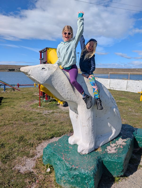
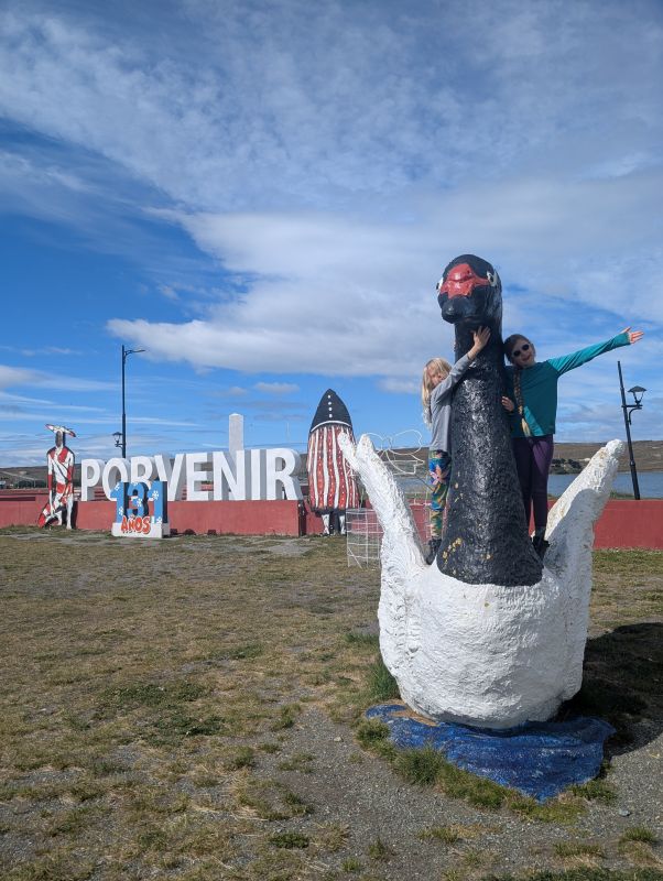
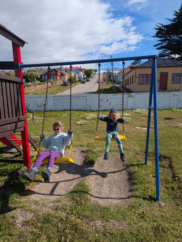
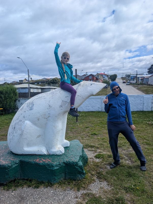
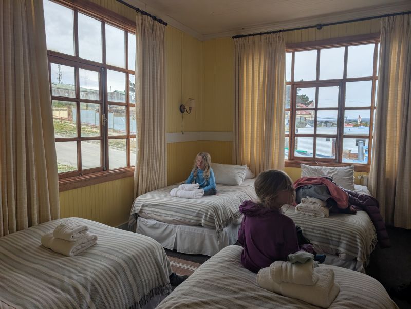
The fun wasn’t done even after hitting pavement – we had one more big hill to climb into the headwind. At one point I thought we were cresting the final peak before town… Then over the top I just saw another whole series of hills. A very rude word escaped my lips before I could stop it! We persevered and eventually, with great relief, cruised downhill into town. The town of Porvenir has a real ‘end of the world’ feel, even more than Ushuaia. It only has about 5,000 inhabitants. There are little minimarkets, small family-run hotels and hostels, and a single bank. The buildings are brightly colored but weathered. We went straight to the tourism office to get some help finding a place to stay. We had hoped to find a cabin with a kitchen, but as the rain started to come down we took the first hotel that had a room for four people. Hotels here aren’t like those in the US – there are a variety of bedding set-ups available and none of them are ‘two queens.’ You pay per person and kids count. We are in a lovely, bright room with four twin beds and a bathroom. Now we will rest for several days before taking a ferry to the mainland and the ‘big city’ of Punta Arenas.
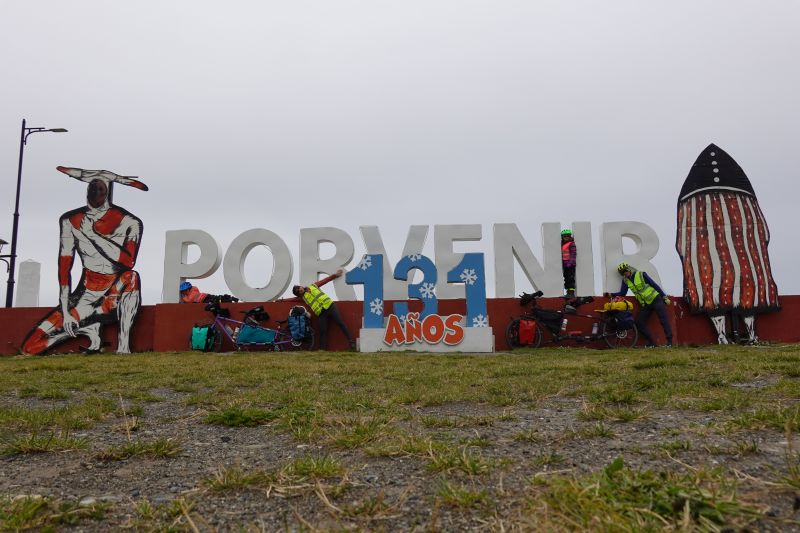
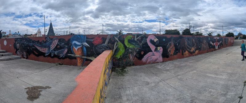
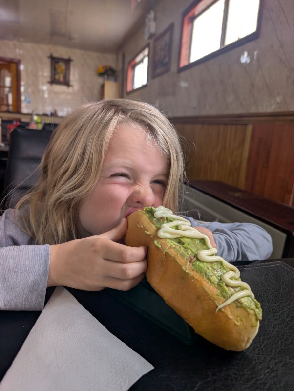
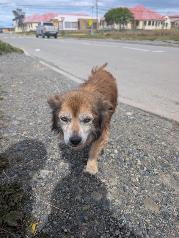
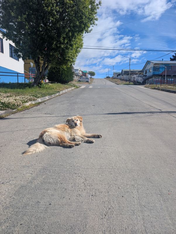
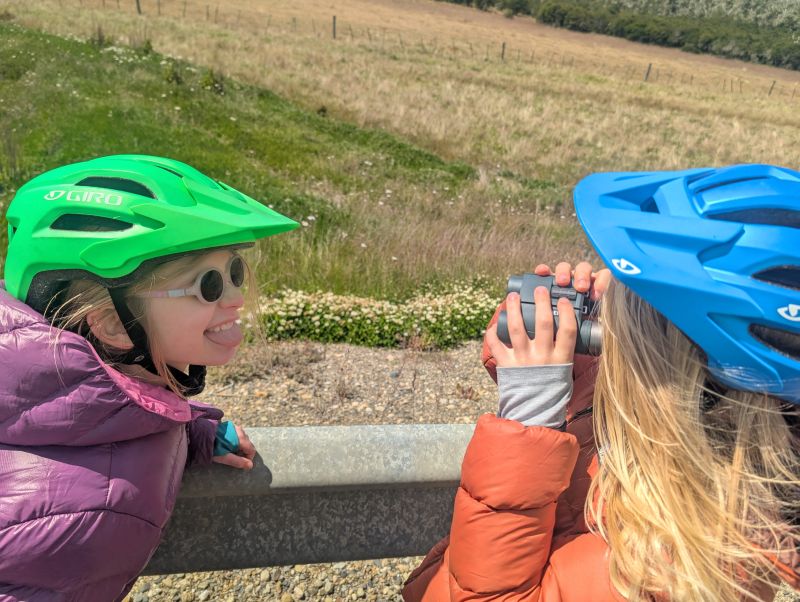
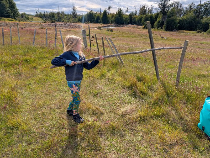
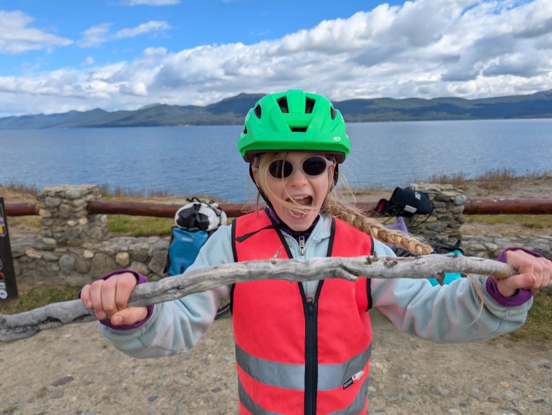
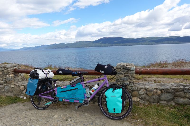
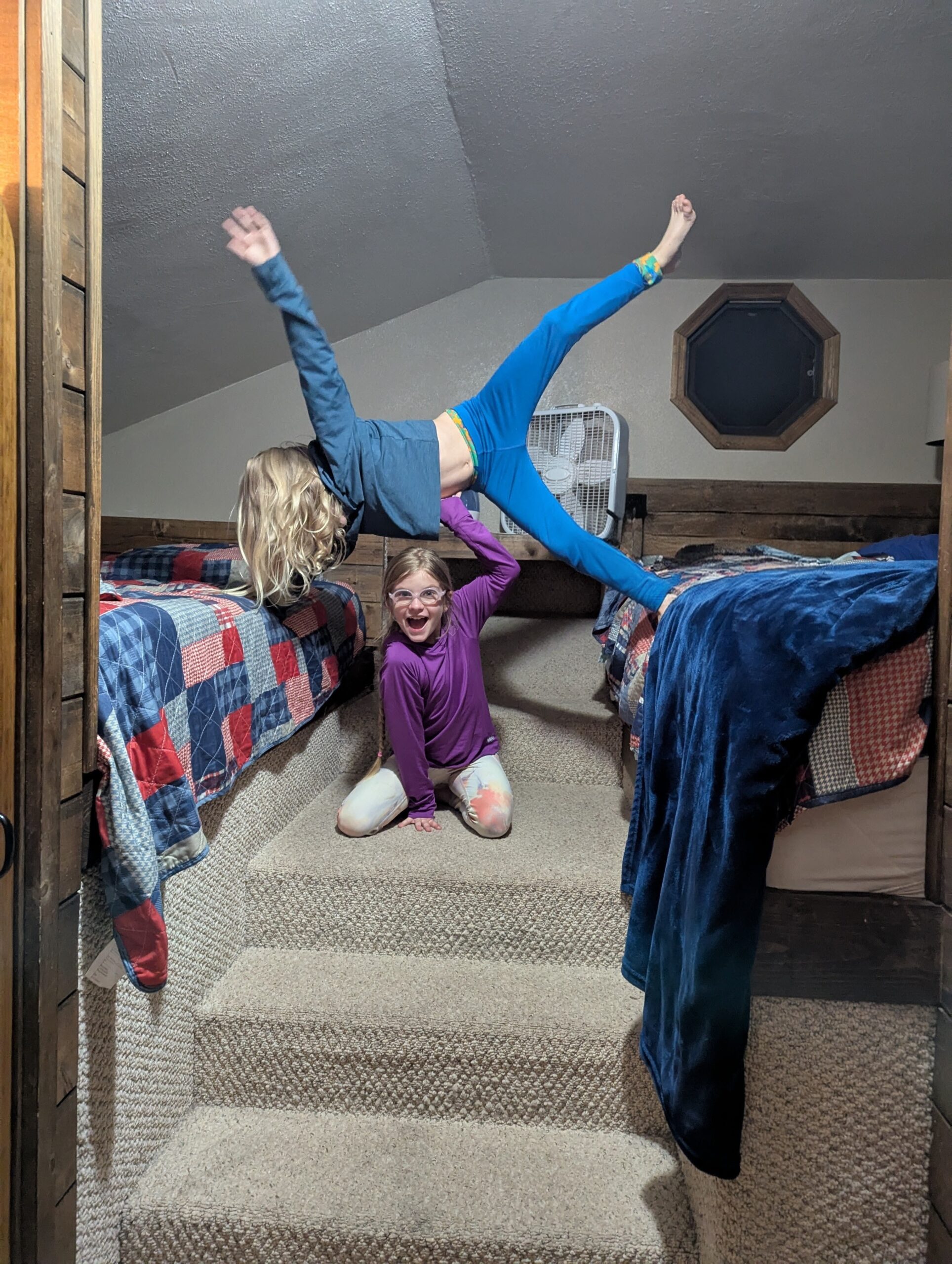
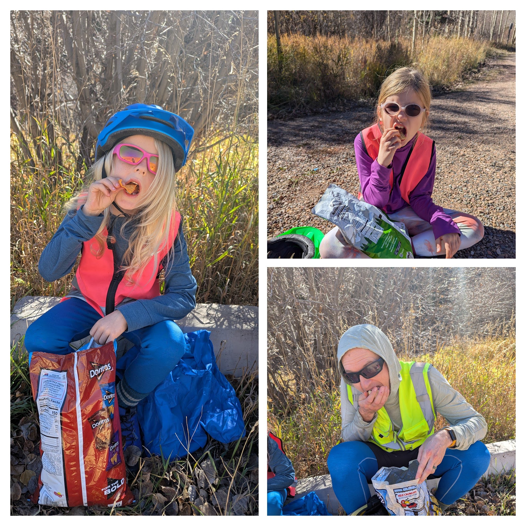
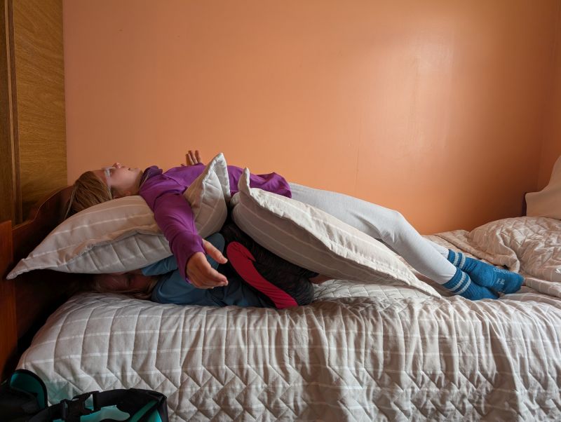
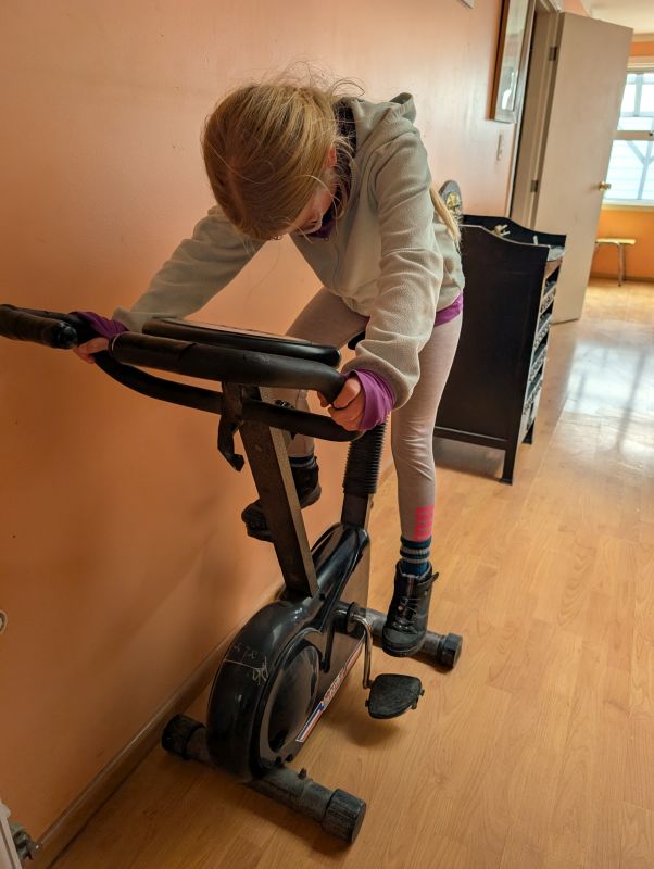
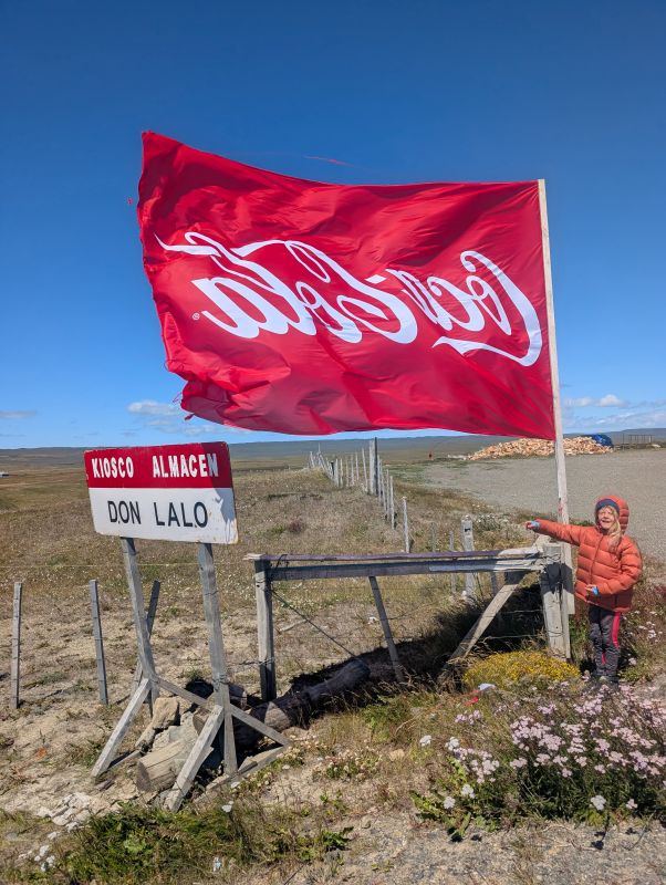
Here are some pictures of our fun first day in Porvenir. We are enjoying this town!