Training in Spain’s Canary Islands – Part 1: El Hierro


The Canary Islands - part of Spain but much farther south!

The Canary Islands – part of Spain but much farther south!

It’s true, I spent my winter break in the fantastic Canary Islands.  Nearly every winter for the past eleven years I have spent this time with my wonderful host family, who I met when I was an exchange student during my junior year of high school.  They are such marvelous people that I am willing to sacrifice 2 days of travel in each direction for the privilege of seeing them again.  This year was no different, except that I spent even more time than usual riding my bicycle.

For the past three years, I have brought my folding bicycle (a Brompton) along for adventures, exercise, and exploration.

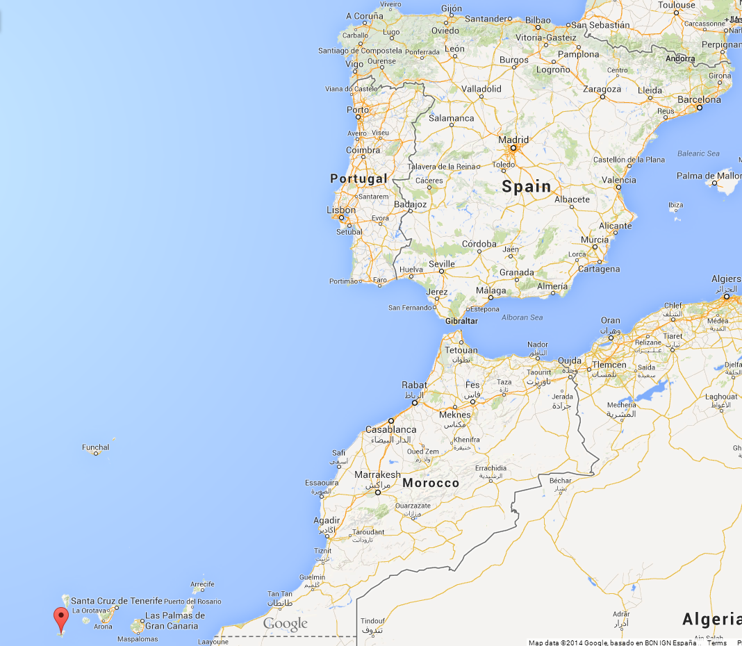
El Hierro - the smallest of the Canary Islands

El Hierro – the smallest of the Canary Islands

The islands we stay on, El Hierro and Tenerife, are known for their biodiversity, volcanic origins, and very steep roads.  El Hierro is approximately one half of a massive volcanic cone.  The other half of it fell off into the ocean millenia ago.  The island, however, is far from volcanically dormant.  For the past two years there have been earthquakes and an underwater eruption off the southern part of the island.  I was there for the biggest earthquake yet – 5.1 on the Richter scale.
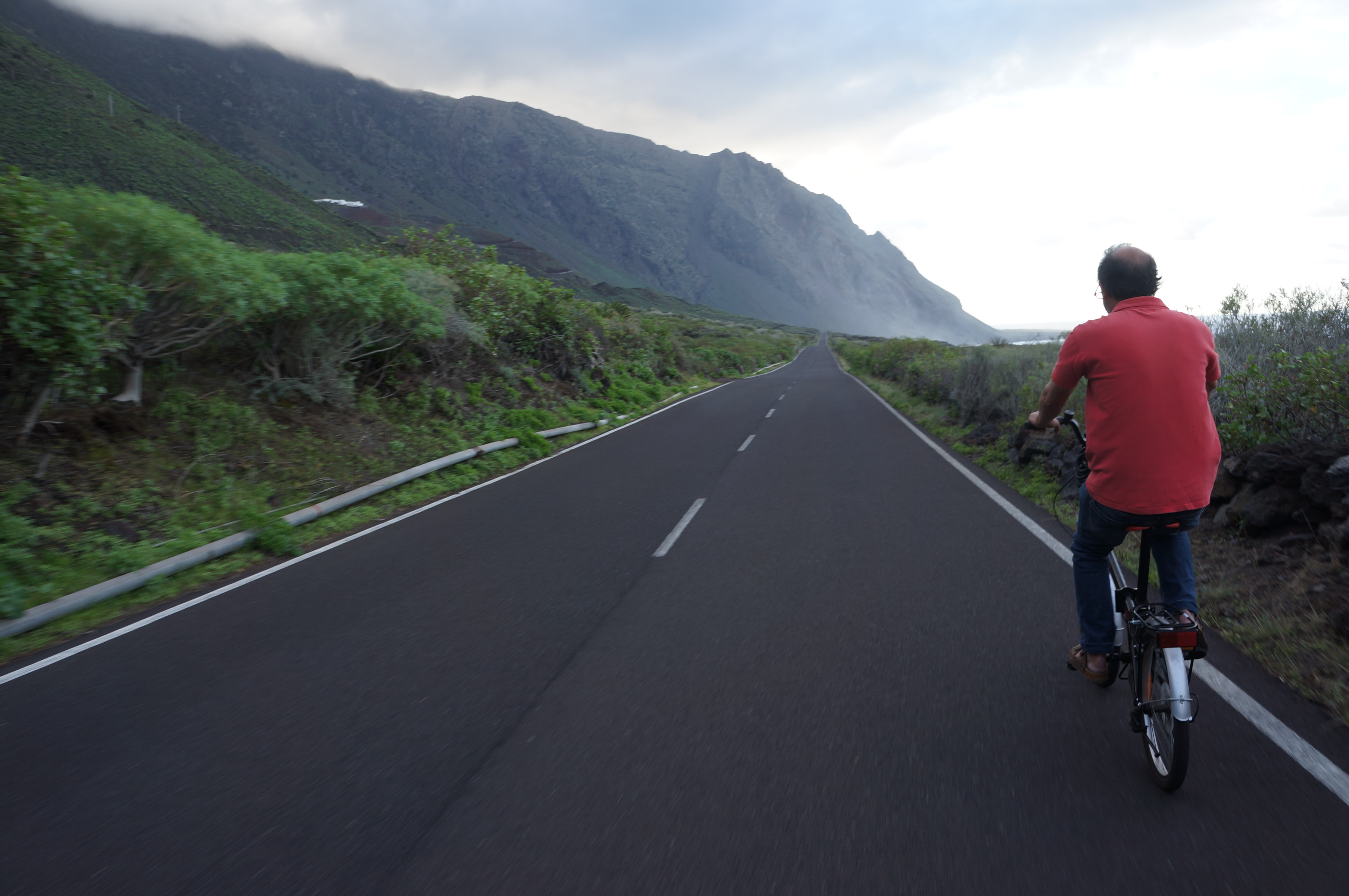
My host-father riding on a somewhat flat part of the island.
My host-father riding on a somewhat flat part of the island.

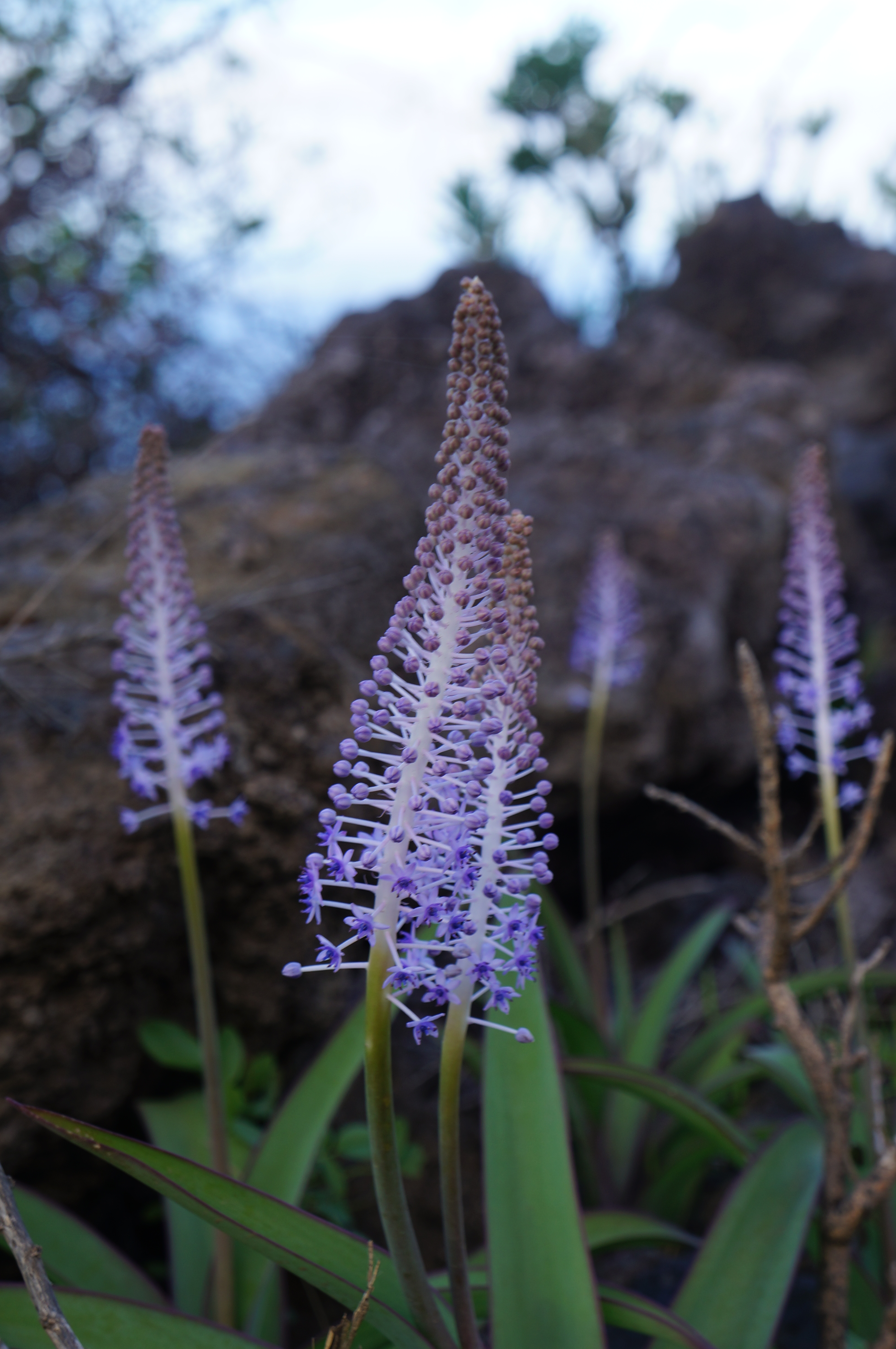
A flowering cactus plant

A flowering cactus plant

My family stays near the center of that crater, and so I took trips on my bicycle up and over the lip of the cone.  This is a climb of nearly 4,000 feet!  Needless to say, the roads are steep and the views breathtaking.  The descents are chilly, but it’s nearly always warm at sea level.  My host father came along on a few adventures.  We always seem to find new unexplored pockets of the island, and new bits of plant life to identify.  Here are a few pictures from around the island.

A road perched on the steep mountainside


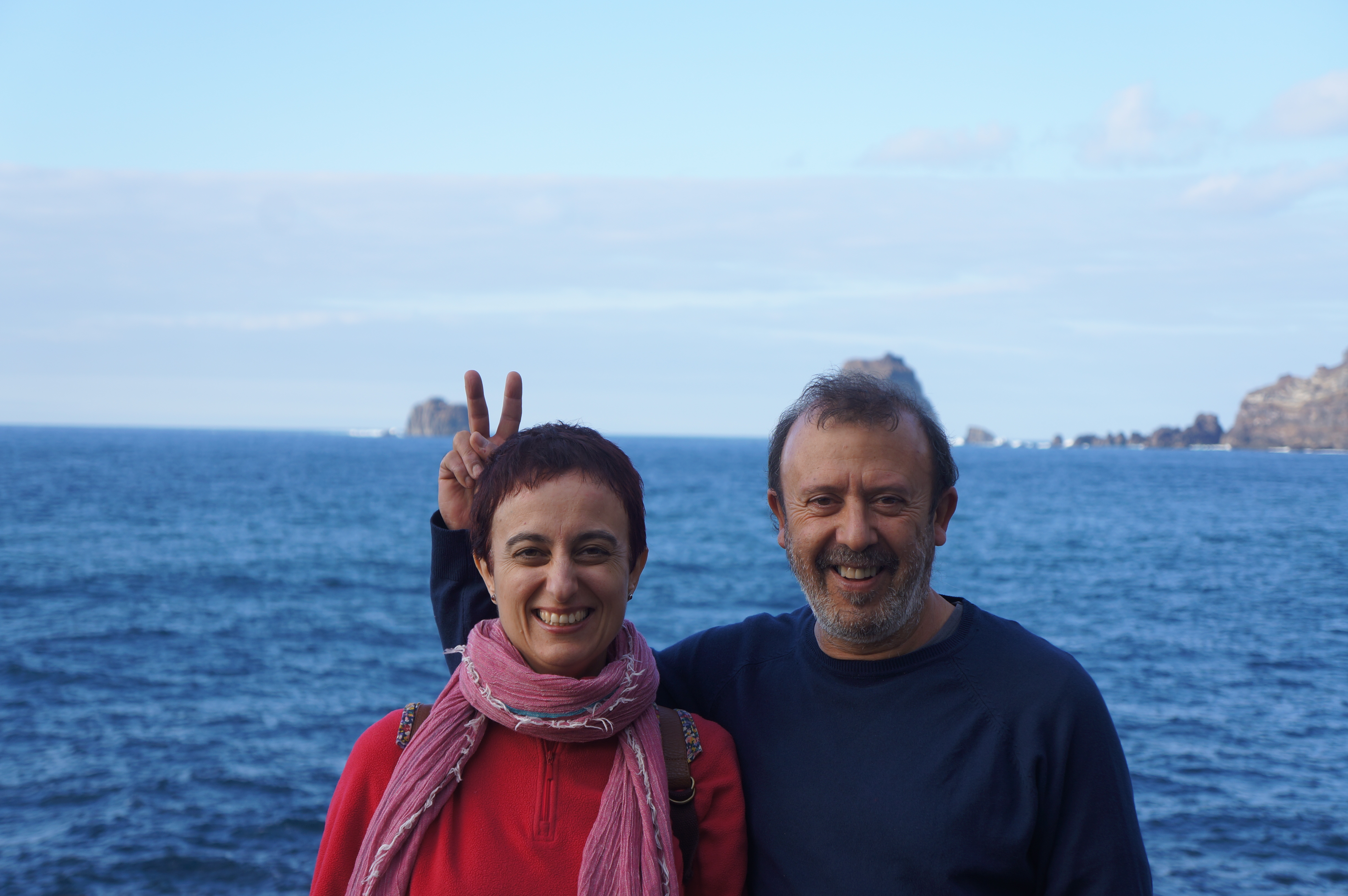
Of course, some of the most spectacular vistas are found along the ragged shore where half the island seems to be missing.  The trailing rocks leading from the island into the Atlantic are called the ‘Roques del Salmor’ and are a symbol of the island.
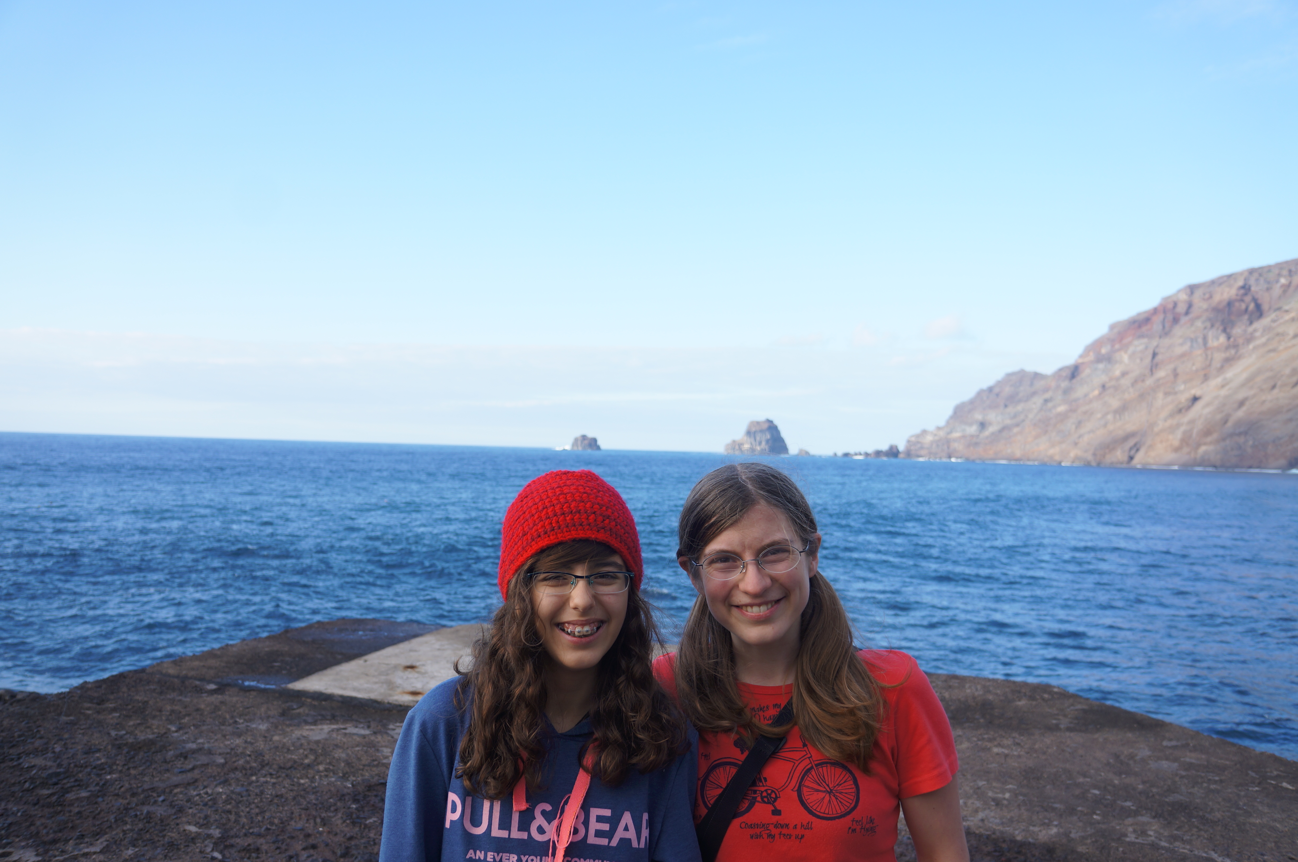
Me and my wonderful host-sister.  Her father was sure to pose us with the Roques growing out of our heads.

Me and my wonderful host-sister. Her father was sure to pose us with the Roques growing out of our heads.
A road perched on the steep mountainside

My host parents, also posed with the Roques.
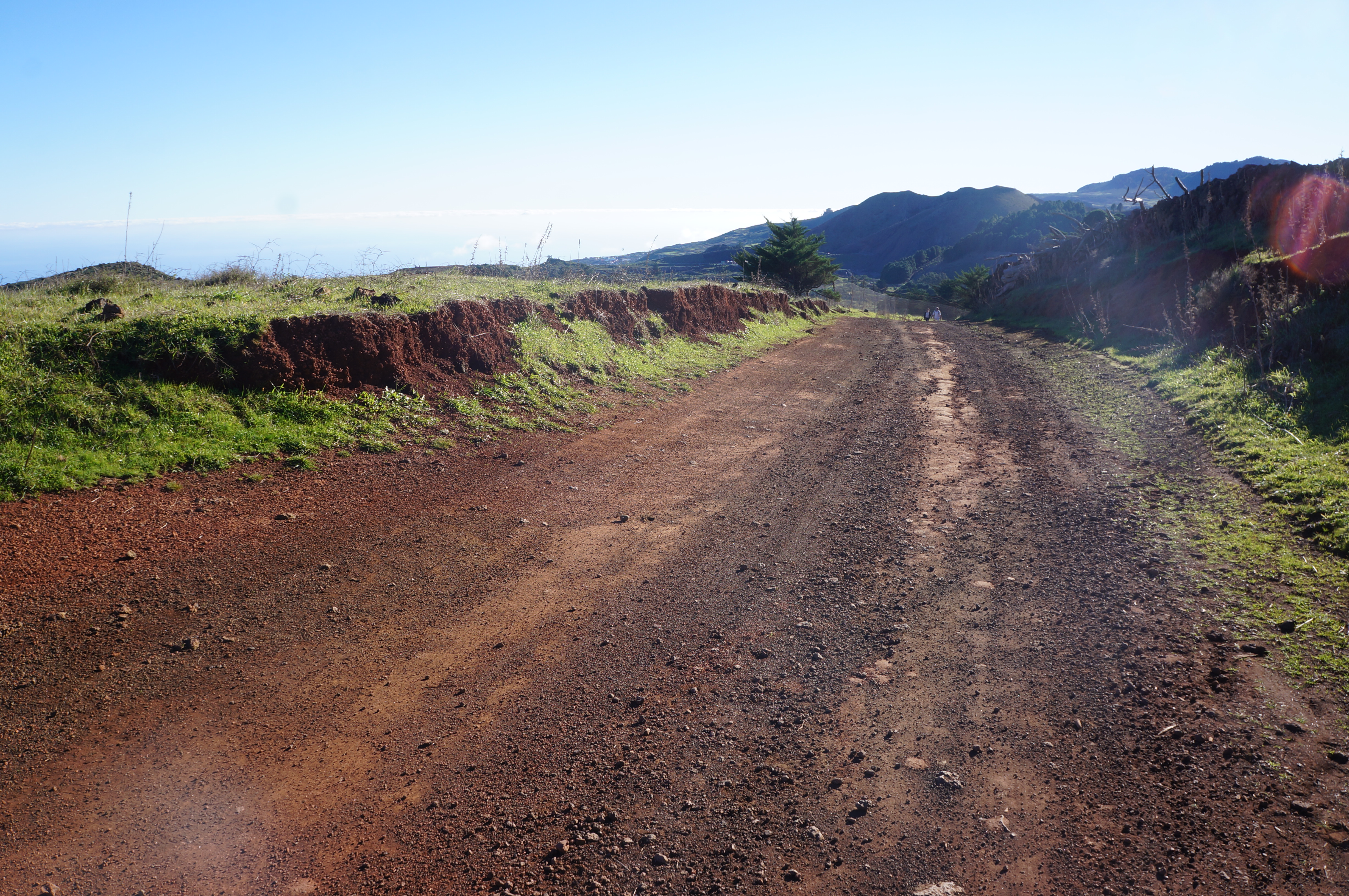
An example of the off-the-beaten path roads.

An example of the off-the-beaten path roads.


On the high part of the island, it feels like you are on the top of the world, just perched on the edge.  On a clear day, you can see three other islands in the archipelago: La Palma, La Gomera, and Tenerife.
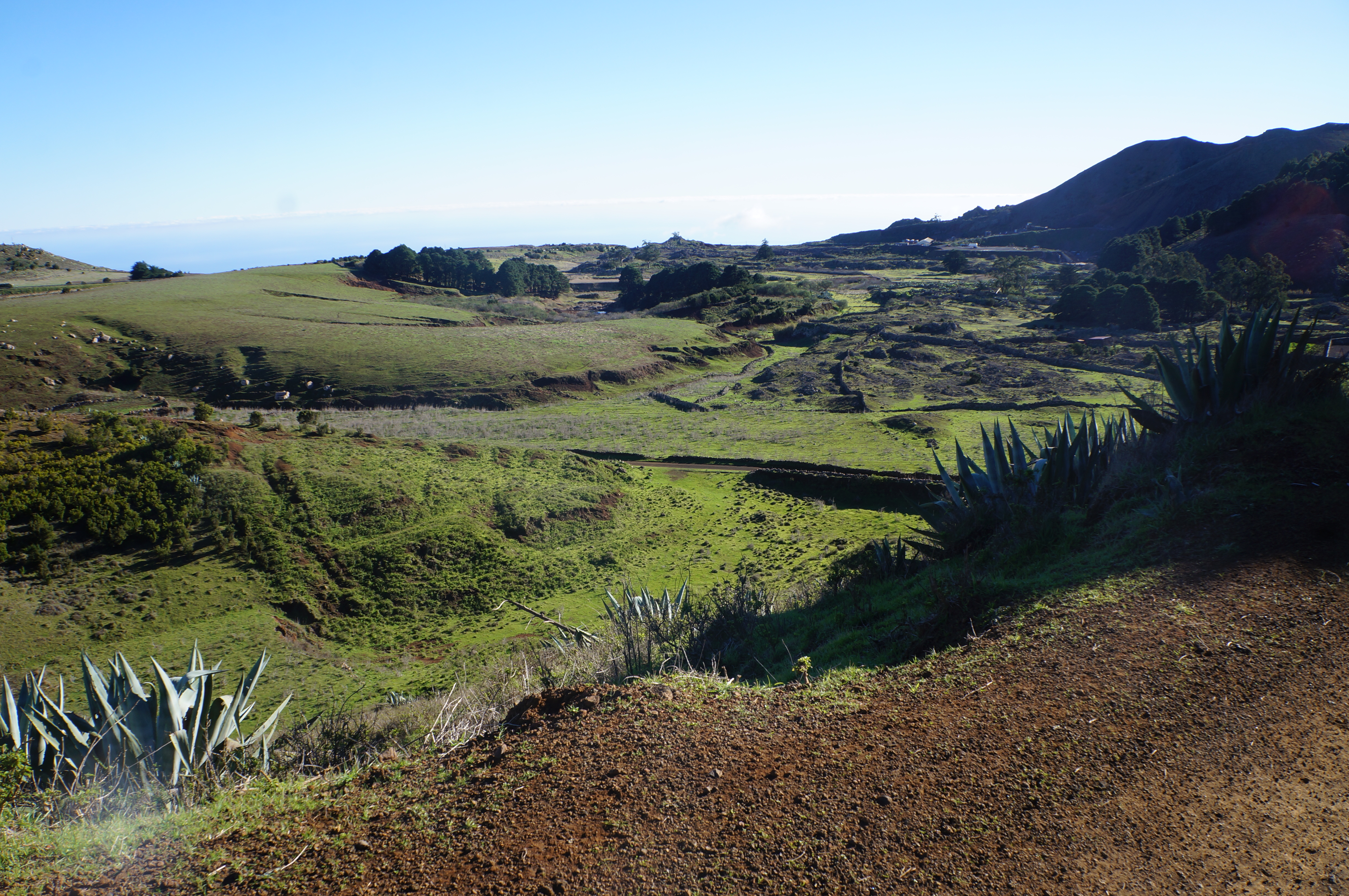
Grazing land on the high part of El Hierro.

I hope to some day return to the Canary Islands with Jason to take a hiking holiday in La Palma or La Gomera.  Both are islands with extensive hiking networks, friendly people, and pleasant year-round weather.  Perhaps after the trip, on my next visit to see my family!

Even after three years pedaling this small island of El Hierro, there are still more roads here I haven’t had the chance to ride.  This years rides provided me with a much-needed dose of vitamin D and a few extra muscle fibers for our upcoming trip!
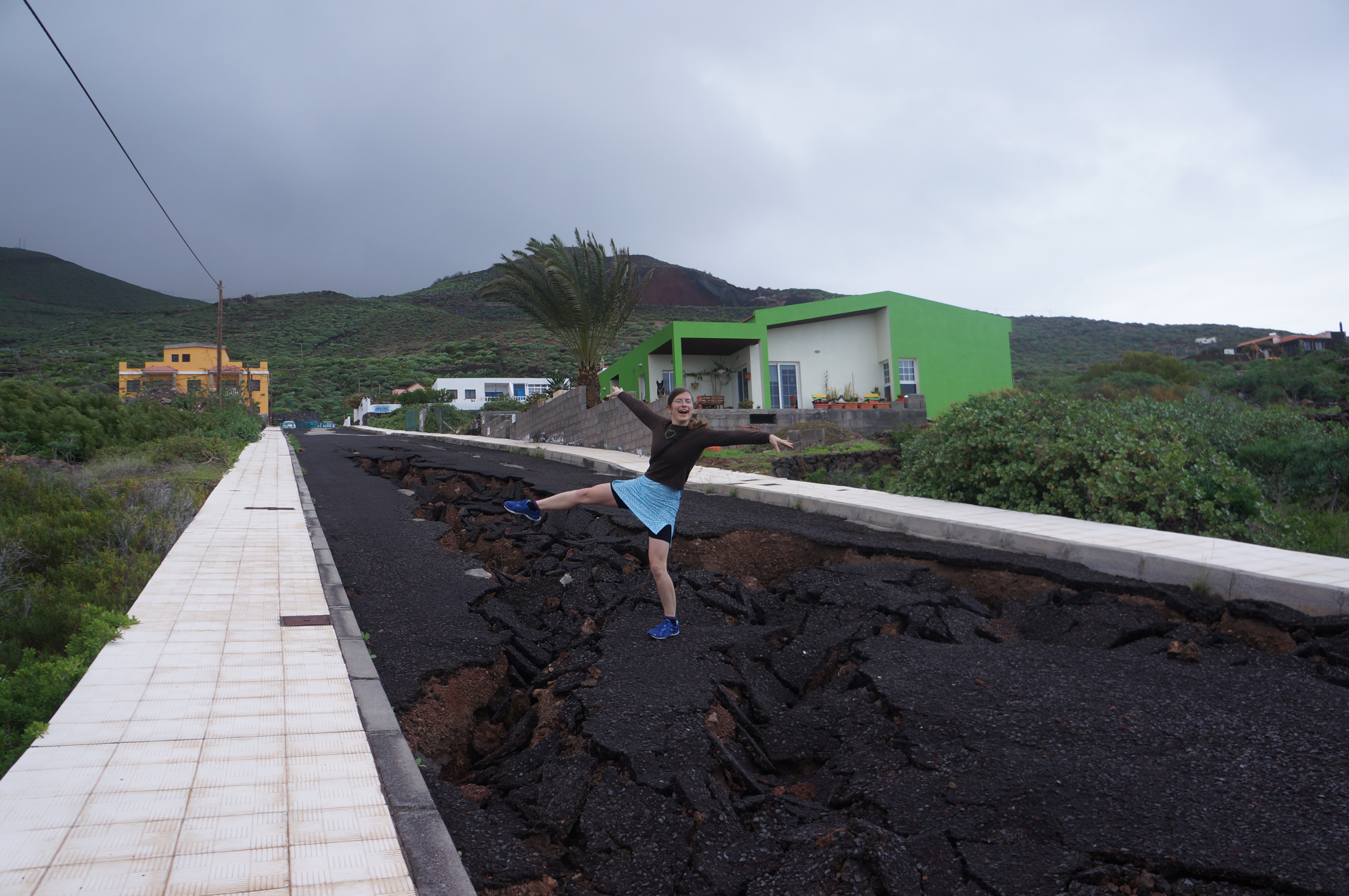
Some roads were in better shape than others...

Some roads were in better shape than others…


Staying the night: camping, hotels, and other options

Where we’ll be spending our nights will vary by locale and country. We expect to start the trip with a lot of camping, to help keep costs down in the US and Canada. Once we hit Central America we plan to stay in hotels more often. Throughout the trip we also hope to stay with local hosts.

wild camping

Our worst “wild camping” site ever – it got dark and the road went uphill, so we camped in a ditch.

In the US and Canada – Campgrounds are prevalent. The only trick is to try and get a reduced rate since we don’t want to pay $40 for an RV site! In OR and CA, many state parks

tent in the bathtub

After a rainy night of camping and a rainy day of cycling, a hotel room provides some important amenities.

have $5 per person hiker/biker sites. This is great because really all we need is a 8’x8’ area to pitch the tent, not an electric hookup and parking spot. When in remote areas, there is the opportunity to “wild camp” which essentially means making camp off the road out of sight. This is an excellent option because it is free and the location tends to be convenient. — Don’t worry, we won’t pass any fences or “No Trespassing” signs!

Points further south – Once entering Mexico and points further south, hotels/motels/hostels get much less expensive, and I read that campgrounds become less common. In some regions, camping is highly discouraged. In others, it is not as safe as we would like to be. We expect to find accommodation in buildings more often during this part of our trip. Once we get much further south, particularly to Chile and Argentina, we will again be camping a lot.

A third option: local hosts – This is by far the most interesting option, and provides the most benefit, since local folks will give you the scoop on all the local history, attractions, and any safety concerns. That includes advice on upcoming road conditions, which may be necessary once we venture further south!

We plan to visit with various friends and family along our route in the US, but in other locales, there are a variety of ways to meet local hosts. The main way is to use warmshowers.org, a website set up to help connect touring cyclists with potential hosts. Another service is couchsurfing.org, which is a site for general travelers. You may be more familiar with this site if you are not a cyclist. Daisy has a profile on Warmshowers and I have one on Couchsurfing so we are ready to go on this front!

Typically, the local hosts will offer accommodation (a bed, futon, or camping spot), and also possibly dinner and some form of entertainment. The only downside, though, is that after a long day of cycling you have to have enough energy saved up to make good conversation! ;) But we’ve noted through past visits and hosting that the cultural exchange is well worth the effort.

a large dinner

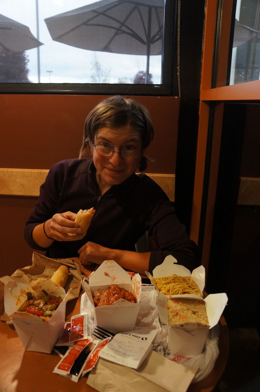
Eating a feast at Safeway, right before being offered a place to stay.

More often than you may imagine, random folks will approach and offer a place to stay. An example of when this might happen is when you’re sitting outside the grocery store eating a bag of chips AND a box of cookies, looking a bit dirty, but definitely happy and friendly. It is even better when the person offering to host tells you the story of how their child is on a long-distance cycle tour, and so they try to return the favor of hosting to balance some of the good fortune their child has received. 

Happy New Year!

129 days to go until we leave for our cycling adventure. We are excited!

As we count down the days, we plan to put up new posts Monday mornings about how our planning, packing, and all that good stuff is going. So check back every week or something new.

We wish the best to you and your family for 2014. Cheers!

Alaska (Attractions #1)

This is the first in a series of posts about locations and attractions along our route that we plan to visit.

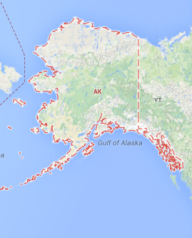
alaska map

Alaska – The Last Frontier

Alaska is the US state with the most wilderness. And, it doesn’t take long to feel the effect once you are there. Simply travel 1/2 hour out of any town and you will be left in the middle of a great expanse of land, with few signs to show man’s marks.

To help us plan the trip, we have been using “The Milepost” guidebook. It claims to be “the bible of North Country travel” and they are right if by that they mean it is a comprehensive and indispensable book! It gives mileage, attractions, and most importantly for cyclists, whether each town has a grocery store. : )

Around 10 years ago I traveled to and through Alaska via motorhome with my grandfather, father, and sister. Traveling by bicycle will be an entirely different experience. Here are a few highlights I’m particularly looking forward to…

grizzly bear

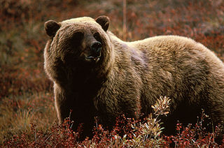
I fully expect to see one of these bears – but hopefully from a safe distance! (Image: Wikimedia Commons)

Denali National Park – This is the third largest national park in the US. The park road meanders 92 miles into this massive preserve. Daisy and I are planning to spend 4 days in the park — two days riding in towards Wonder Lake and two days back out. There are a few nice hills to ride. Of interest is that the road turns to gravel past mile 13, and is open to buses only. However, since the buses don’t start running until May 20, any cyclists (that’s us!) will have the road to themselves — well, except for the bears, wolves, sheep, moose, and other wildlife! I expect we are guaranteed to see the wildlife, and at times up very close and personal. But don’t worry, we’ll have bear spray!

Fairbanks – This town marks the furthest point north we plan to travel on our trip. At almost 65°N, it is pretty far up there. We will arrive in late May, so will experience almost continuous daylight (plus a little twilight – no, not Twilight). We don’t plan to trek up to the arctic circle, as some cyclists do. Fairbanks is one of the few major towns in Alaska, and it will be a good place to stock up on supplies. Who knows, we may even stop by the university so Daisy can give a statistics talk!

top of the world highway

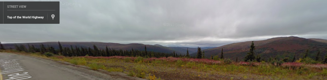
View on the Top of the World Highway from Google Street View

Top of the World Highway – This is the name given to the road that extends east from Chicken, Alaska to Dawson City, Yukon. The road is almost entirely unpaved and contains few, if any, amenities. In essence, this indicates it will cut through the wilderness. Although we will spend some time on the Alaska Highway, this less-traveled route will provide a different experience.

Haines and Skagway – These two towns are in the small part of Alaska that is squished between the Pacific Ocean and British Columbia. Connected by ferry, they allow us to travel to the coast and back inland without retracing our path. But more importantly, traveling to/from the area will allow us breathtaking views as we pass through the coastal range mountains. While we are in Haines, we will take a rest day without biking. We hope to take a fast boat to Juneau and hike to a glacier.